Craig is a home rule municipality that is the county seat and the most populous municipality of Moffat County, Colorado, United States. The city population was 9,060 at the 2020 United States Census. Craig is the principal city of the Craig, CO Micropolitan Statistical Area.
| Name: | Craig city |
|---|---|
| LSAD Code: | 25 |
| LSAD Description: | city (suffix) |
| State: | Colorado |
| County: | Moffat County |
| Incorporated: | July 15, 1908 |
| Elevation: | 6,198 ft (1,889 m) |
| Total Area: | 5.073 sq mi (13.138 km²) |
| Land Area: | 5.073 sq mi (13.138 km²) |
| Water Area: | 0.000 sq mi (0.000 km²) |
| Total Population: | 9,060 |
| Population Density: | 1,786/sq mi (690/km²) |
| Area code: | 970 |
| FIPS code: | 0817760 |
| GNISfeature ID: | 171304 |
| Website: | www.ci.craig.co.us |
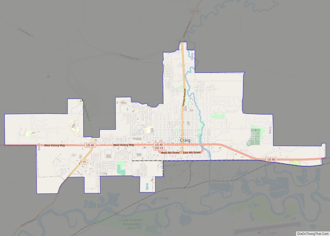
Online Interactive Map
Click on ![]() to view map in "full screen" mode.
to view map in "full screen" mode.
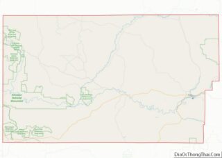
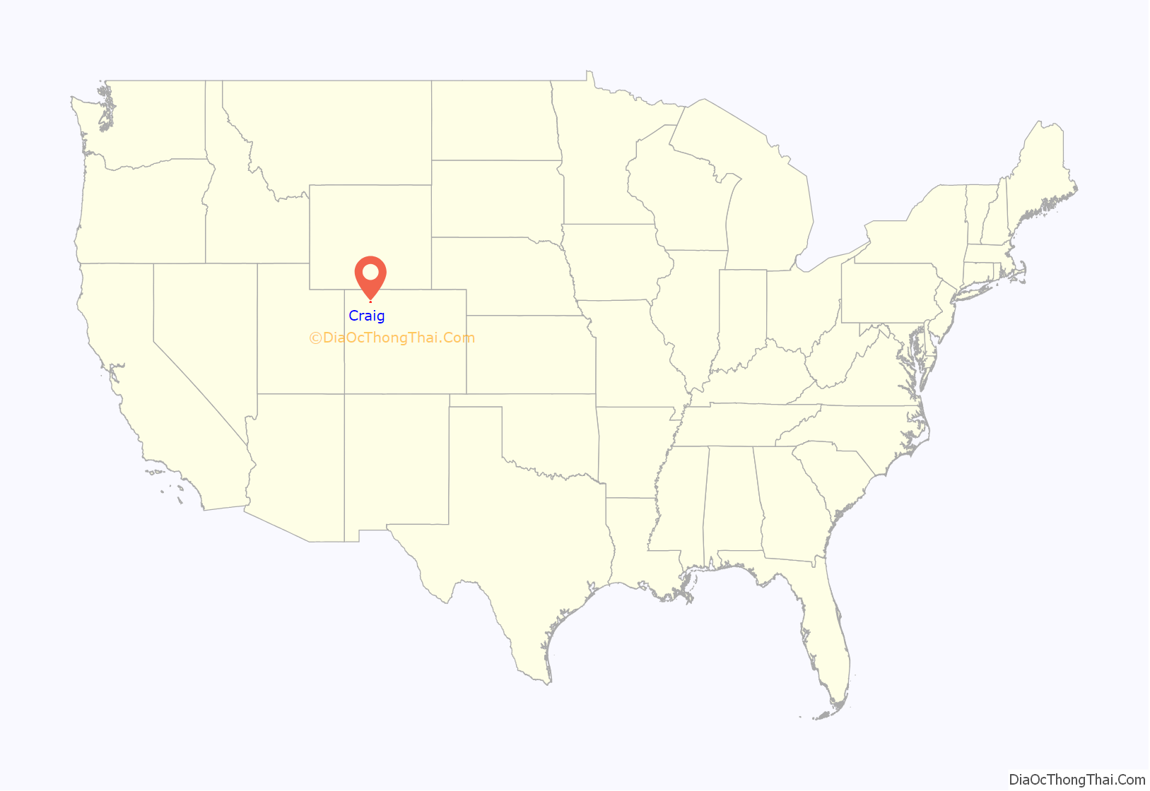
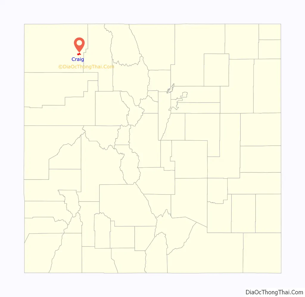
Craig location map. Where is Craig city?
History
Founded by William H. Tucker, Craig was incorporated as a city on July 15, 1908. The town was named for one of the town’s financial backers, Reverend William Bayard Craig.
Craig became the county seat when Moffat County was created out of the western portion of Routt County on February 27, 1911. In the same area as Craig, at the confluence of the Yampa River (then known as the Bear River) and Fortification Creek, were previous towns known as Yampa (as early as 1885) and Windsor (as early as 1878). In 1878, the area consisted of a number of ranches and at least two businesses: Himley’s Ferry (which allowed crossing of the Yampa River) and Peck’s Store (a one-room trading post).
In the 1970s and early 1980s, the largest power generation plant in Colorado and several coal mines were constructed near Craig.
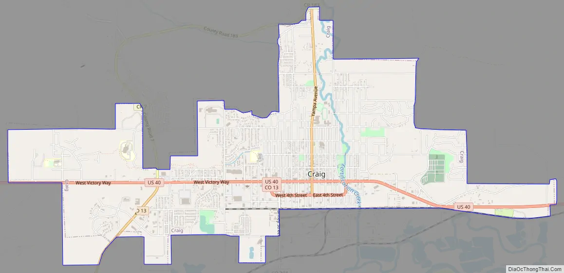
Craig Road Map
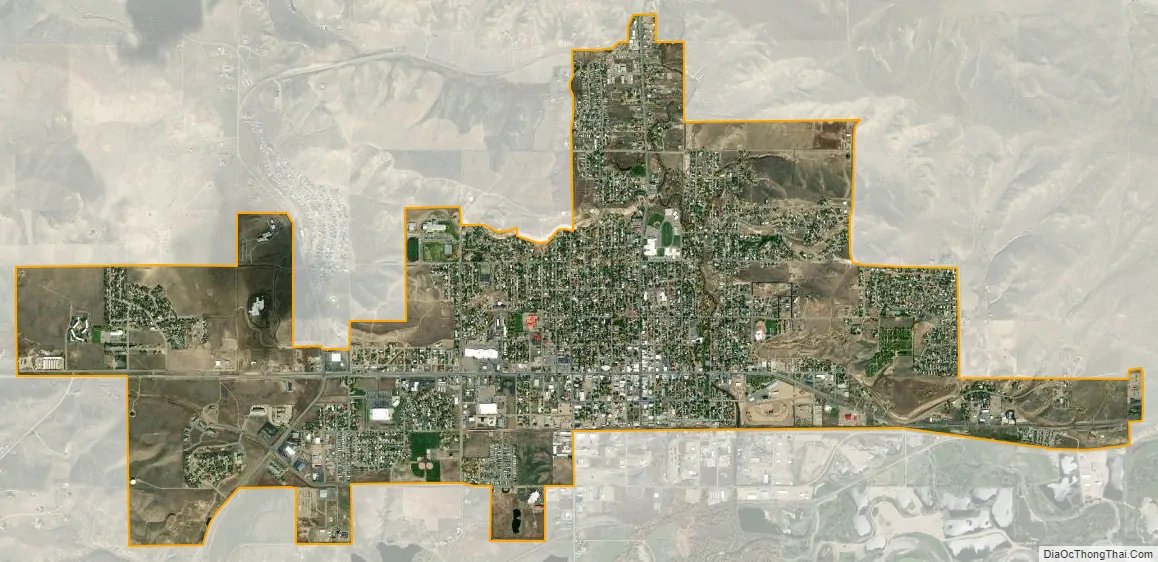
Craig city Satellite Map
Geography
Craig is located at 40°31′1″N 107°33′1″W / 40.51694°N 107.55028°W / 40.51694; -107.55028 (40.516896, -107.550389).
At the 2020 United States Census, the city had a total area of 3,246 acres (13.138 km), all of it land.
Climate
Under the Köppen climate classification, Craig has a humid continental climate (Dfb). Summer days are hot with cool nights and very high diurnal temperature variation, while winters are cold and snowy with lows near zero.
See also
Map of Colorado State and its subdivision:- Adams
- Alamosa
- Arapahoe
- Archuleta
- Baca
- Bent
- Boulder
- Broomfield
- Chaffee
- Cheyenne
- Clear Creek
- Conejos
- Costilla
- Crowley
- Custer
- Delta
- Denver
- Dolores
- Douglas
- Eagle
- El Paso
- Elbert
- Fremont
- Garfield
- Gilpin
- Grand
- Gunnison
- Hinsdale
- Huerfano
- Jackson
- Jefferson
- Kiowa
- Kit Carson
- La Plata
- Lake
- Larimer
- Las Animas
- Lincoln
- Logan
- Mesa
- Mineral
- Moffat
- Montezuma
- Montrose
- Morgan
- Otero
- Ouray
- Park
- Phillips
- Pitkin
- Prowers
- Pueblo
- Rio Blanco
- Rio Grande
- Routt
- Saguache
- San Juan
- San Miguel
- Sedgwick
- Summit
- Teller
- Washington
- Weld
- Yuma
- Alabama
- Alaska
- Arizona
- Arkansas
- California
- Colorado
- Connecticut
- Delaware
- District of Columbia
- Florida
- Georgia
- Hawaii
- Idaho
- Illinois
- Indiana
- Iowa
- Kansas
- Kentucky
- Louisiana
- Maine
- Maryland
- Massachusetts
- Michigan
- Minnesota
- Mississippi
- Missouri
- Montana
- Nebraska
- Nevada
- New Hampshire
- New Jersey
- New Mexico
- New York
- North Carolina
- North Dakota
- Ohio
- Oklahoma
- Oregon
- Pennsylvania
- Rhode Island
- South Carolina
- South Dakota
- Tennessee
- Texas
- Utah
- Vermont
- Virginia
- Washington
- West Virginia
- Wisconsin
- Wyoming