Crisman is an unincorporated community and a census-designated place (CDP) located in and governed by Boulder County, Colorado, United States. The CDP is a part of the Boulder, CO Metropolitan Statistical Area. The population of the Crisman CDP was 179 at the United States Census 2020. The Boulder post office (Zip Code 80302) serves the area.
| Name: | Crisman CDP |
|---|---|
| LSAD Code: | 57 |
| LSAD Description: | CDP (suffix) |
| State: | Colorado |
| County: | Boulder County |
| Founded: | 1874 |
| Elevation: | 6,578 ft (2,005 m) |
| Total Area: | 1.457 sq mi (3.774 km²) |
| Land Area: | 1.457 sq mi (3.774 km²) |
| Water Area: | 0.0002 sq mi (0.0004 km²) |
| Total Population: | 179 |
| Population Density: | 120/sq mi (47/km²) |
| ZIP code: | Boulder 80302 |
| FIPS code: | 0818585 |
Online Interactive Map
Click on ![]() to view map in "full screen" mode.
to view map in "full screen" mode.
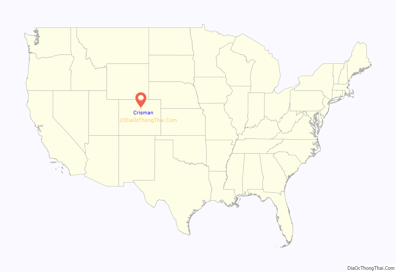
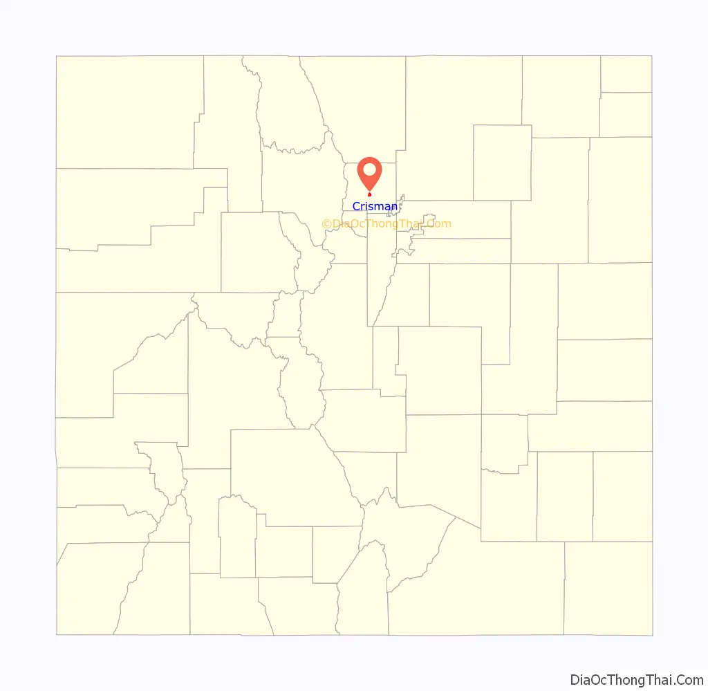
Crisman location map. Where is Crisman CDP?
History
Crisman was founded in 1874 as a mining camp and named after the adjacent Crisman Mill, an ore-processing mill owned by prospector and early settler Obed Crisman. Crisman became a boomtown in 1881, when the Yellow Pine Mine produced a massive silver strike. Crisman became a stop on the Greeley, Salt Lake and Pacific Railway. The Panic of 1893 and the subsequent crash of the silver market severely damaged Crisman’s economy, although the nearby mines remained open for the duration. In 1894, Boulder Creek flooded, and much of the town was destroyed, including a section of railroad track. The obliterated structures were never rebuilt, and Crisman was significantly reduced in size. In 1901, the Logan Mine, a large gold operation near Crisman, uncovered a second strike, which prevented the town from disappearing altogether. By 1918, Crisman had become increasingly depopulated, and the post office closed that year. In 1919, another catastrophic flood swept through Fourmile Canyon, again destroying a section of railroad track and leaving little left of Crisman. The town has since been reduced to a hamlet.
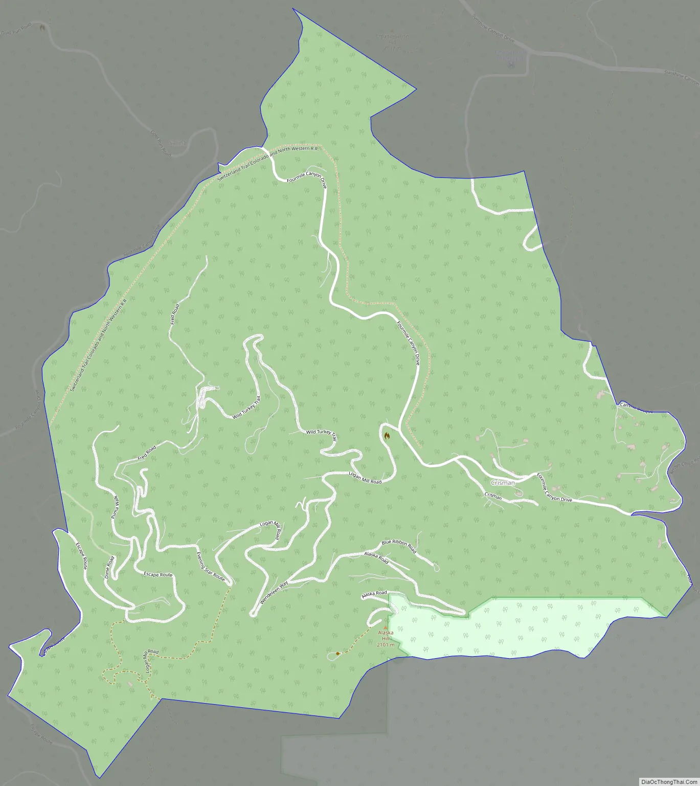
Crisman Road Map
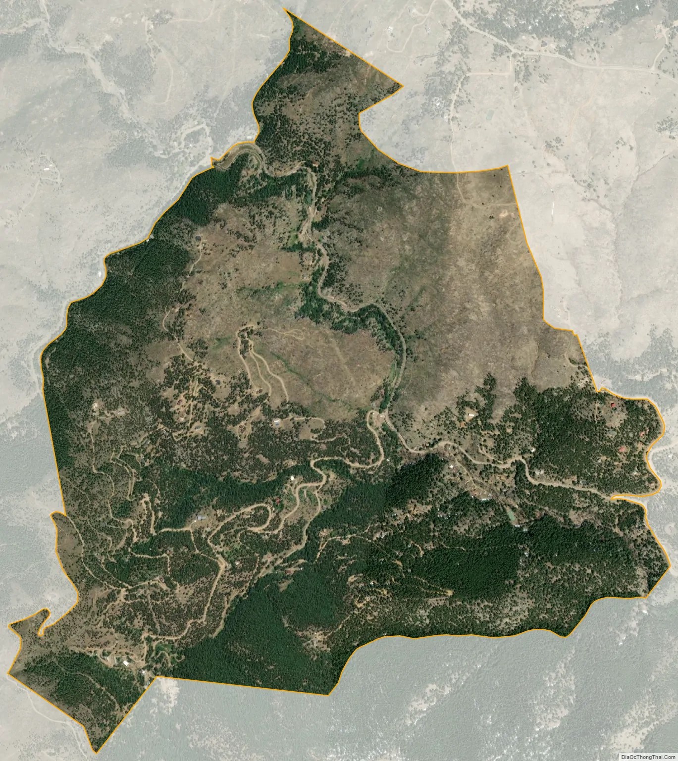
Crisman city Satellite Map
Geography
Crisman is located in central Boulder County in the Front Range of the Colorado Rocky Mountains, in the valley of Fourmile Creek at an elevation of 6,578 feet (2,005 m). Four Mile Canyon Drive leads 7 miles (11 km) southeast to Boulder and 5 miles (8 km) northwest to Gold Hill.
The Crisman CDP has an area of 933 acres (3.774 km), including 0.099 acres (0.0004 km) of water.
See also
Map of Colorado State and its subdivision:- Adams
- Alamosa
- Arapahoe
- Archuleta
- Baca
- Bent
- Boulder
- Broomfield
- Chaffee
- Cheyenne
- Clear Creek
- Conejos
- Costilla
- Crowley
- Custer
- Delta
- Denver
- Dolores
- Douglas
- Eagle
- El Paso
- Elbert
- Fremont
- Garfield
- Gilpin
- Grand
- Gunnison
- Hinsdale
- Huerfano
- Jackson
- Jefferson
- Kiowa
- Kit Carson
- La Plata
- Lake
- Larimer
- Las Animas
- Lincoln
- Logan
- Mesa
- Mineral
- Moffat
- Montezuma
- Montrose
- Morgan
- Otero
- Ouray
- Park
- Phillips
- Pitkin
- Prowers
- Pueblo
- Rio Blanco
- Rio Grande
- Routt
- Saguache
- San Juan
- San Miguel
- Sedgwick
- Summit
- Teller
- Washington
- Weld
- Yuma
- Alabama
- Alaska
- Arizona
- Arkansas
- California
- Colorado
- Connecticut
- Delaware
- District of Columbia
- Florida
- Georgia
- Hawaii
- Idaho
- Illinois
- Indiana
- Iowa
- Kansas
- Kentucky
- Louisiana
- Maine
- Maryland
- Massachusetts
- Michigan
- Minnesota
- Mississippi
- Missouri
- Montana
- Nebraska
- Nevada
- New Hampshire
- New Jersey
- New Mexico
- New York
- North Carolina
- North Dakota
- Ohio
- Oklahoma
- Oregon
- Pennsylvania
- Rhode Island
- South Carolina
- South Dakota
- Tennessee
- Texas
- Utah
- Vermont
- Virginia
- Washington
- West Virginia
- Wisconsin
- Wyoming


