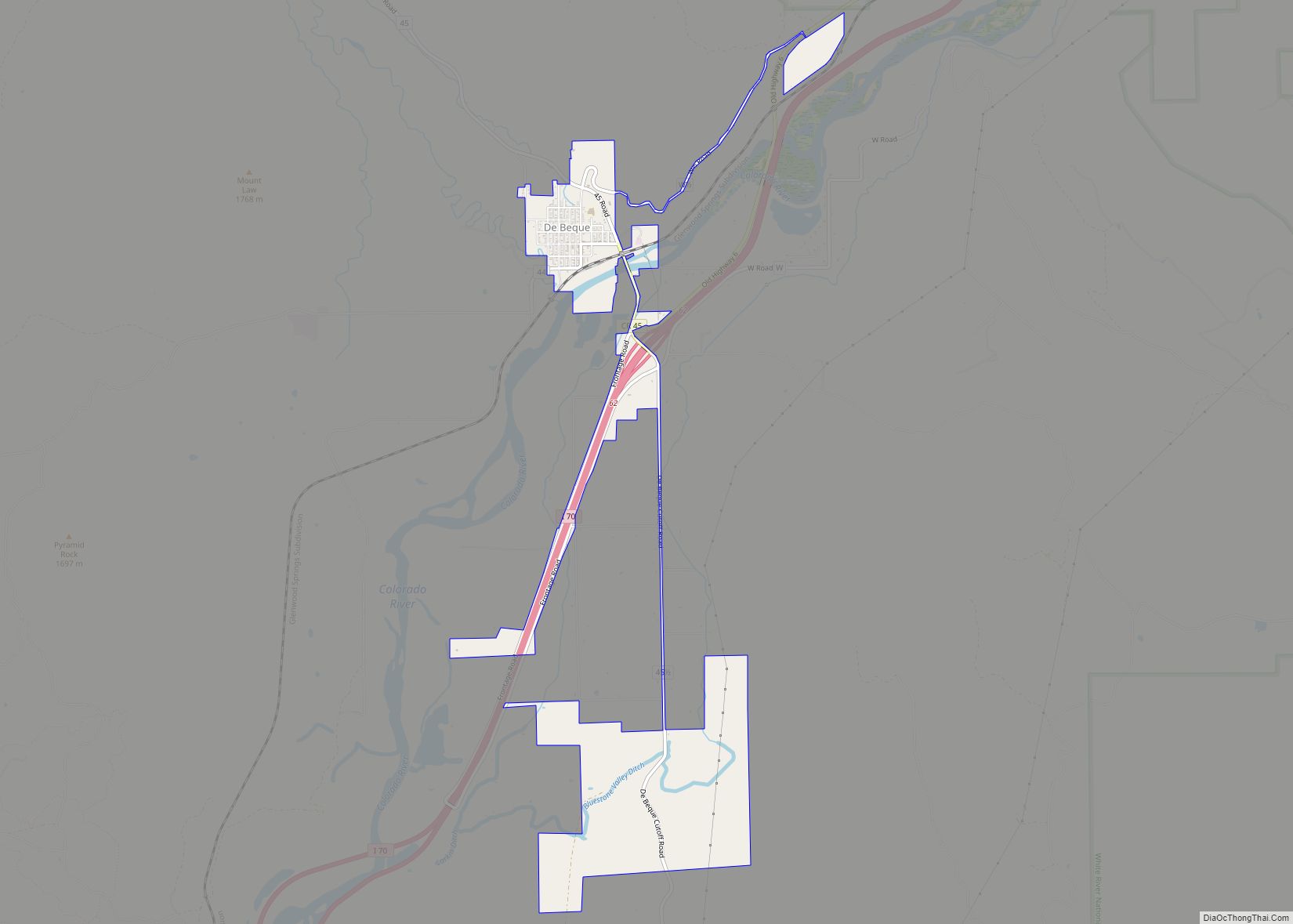
The Town of De Beque is a statutory town located in Mesa County, Colorado. The population was 493 at the time of the 2020 census. De Beque is a part of the Grand Junction, CO Metropolitan Statistical Area. The town consists of a small grid, including a historic downtown featuring a town hall, a tavern, and several commercial businesses in historic structures. The surrounding streets include houses, several churches, and a school.
| Name: | De Beque town |
|---|---|
| LSAD Code: | 43 |
| LSAD Description: | town (suffix) |
| State: | Colorado |
| County: | Mesa County |
| Incorporated: | January 18, 1890 |
| Elevation: | 4,951 ft (1,509 m) |
| Total Area: | 2.778 sq mi (7.196 km²) |
| Land Area: | 2.727 sq mi (7.063 km²) |
| Water Area: | 0.051 sq mi (0.133 km²) |
| Total Population: | 493 |
| Population Density: | 183/sq mi (71/km²) |
| ZIP code: | 81630 |
| Area code: | 970 |
| FIPS code: | 0819355 |
| Website: | www.debeque.org |
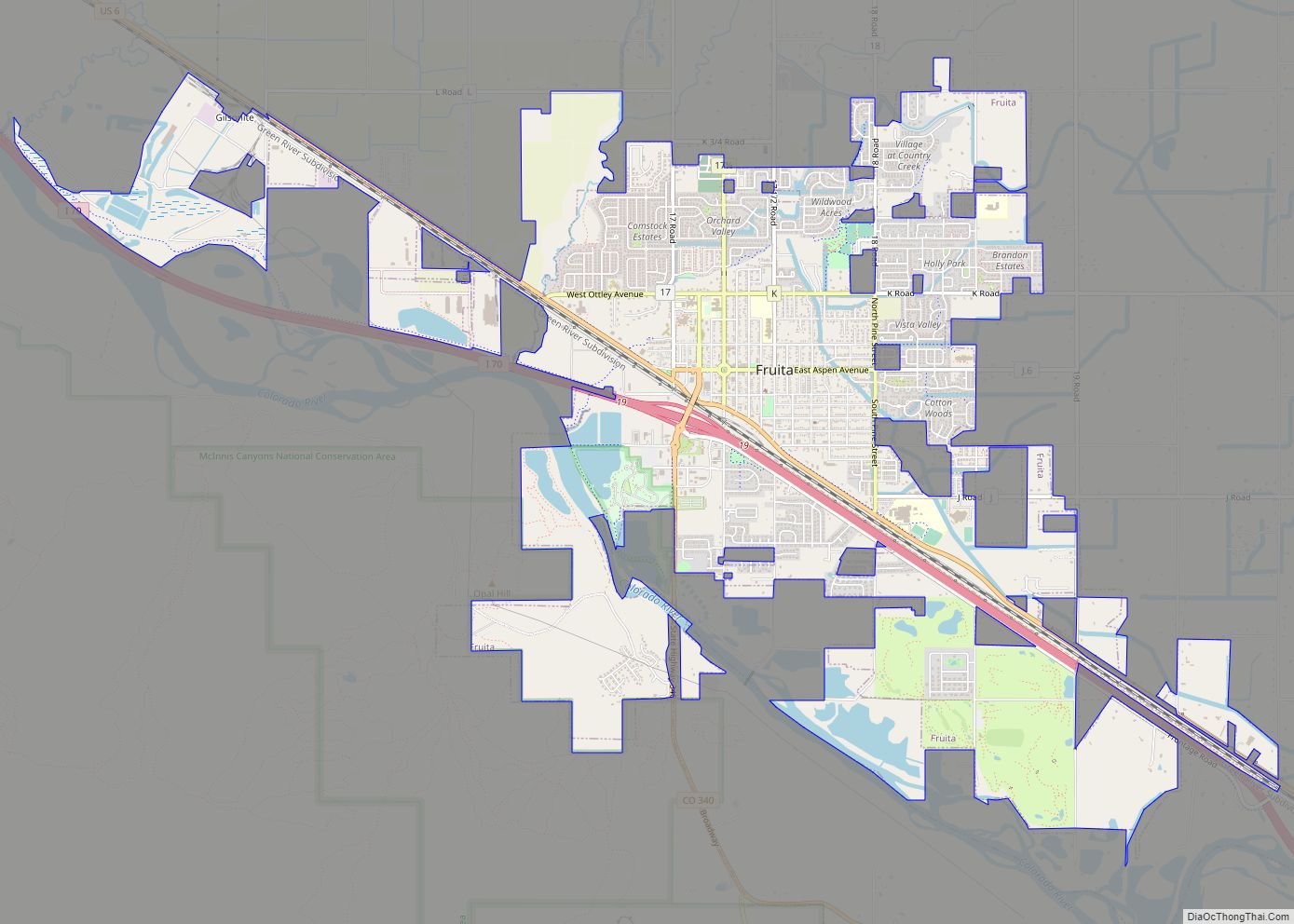
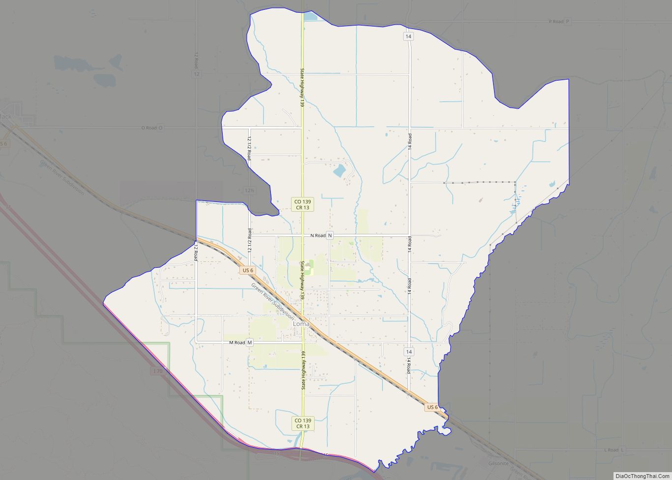
Online Interactive Map
Click on ![]() to view map in "full screen" mode.
to view map in "full screen" mode.
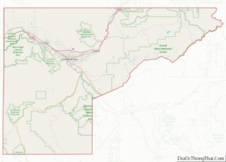
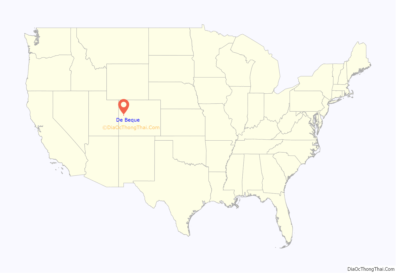
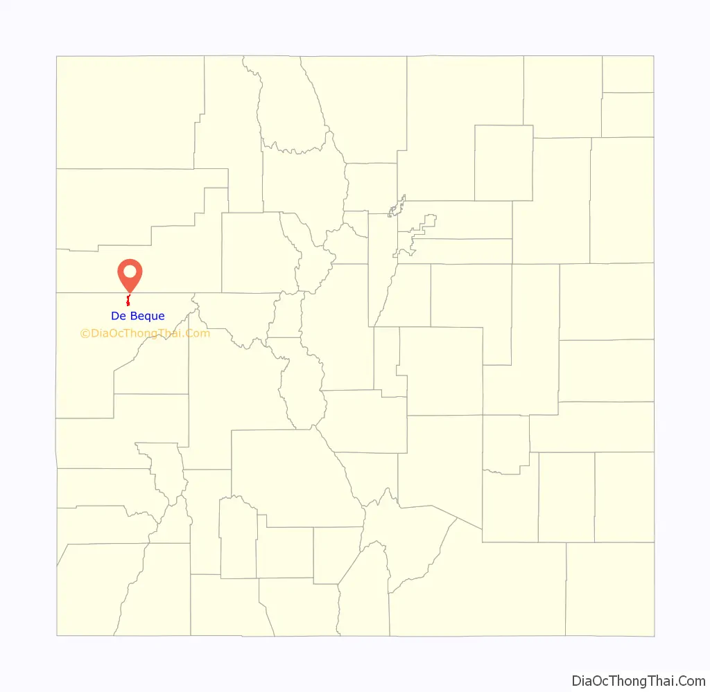
De Beque location map. Where is De Beque town?
History
The town is located in a region historically occupied by the Ute people. White settlers arrived in the region in 1880.
The town is named after Dr. W.A.E. de Beque who explored the area with several companions in 1884 while looking for a suitable location for a ranch.
The town was historically a location where wild horses, prevalent in the surrounding lands, were rounded up and sold. The history of the town is commemorated with a mustang statue near the town hall. In August 2001, the Town Board of Trustees designated De Beque as the only Wild Horse Sanctuary City in the West. The town now undertakes projects in cooperation with the Bureau of Land Management, as well as private organizations, to protect the remaining wild horses in the area. There are no burros in western Colorado. Such measures include the construction of a public corral for the care of injured and sick mustangs awaiting adoption.
On April 1, 2014, De Beque became the first incorporated town in Mesa County to approve the retail sale of recreational marijuana.
The Kum & Go used to have warrior pumps that dispensed truck diesel. They have since been replaced with modern pumps that also dispense diesel exhaust fluid.
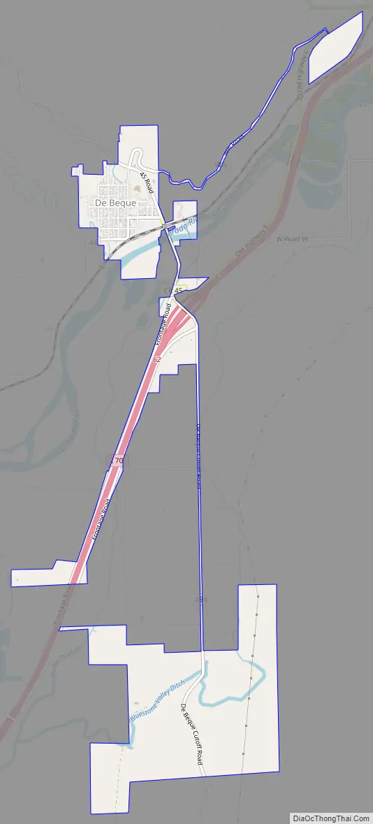
De Beque Road Map
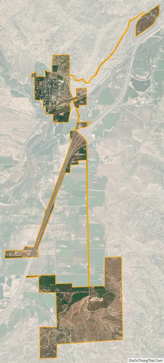
De Beque city Satellite Map
Geography
The town sits along the north side of the Colorado River upstream from De Beque Canyon in a small ranching valley approximately 25 miles (40 km) northeast and upstream from Grand Junction. It is located across the river from Interstate 70, on a small hill overlooking the river. The southwest edge of the Roan Cliffs overlook the town from the northeast. Much of the surrounding area in the mountains is controlled by the Bureau of Land Management. Mount Logan can be seen from town, five miles to the north.
At the 2020 United States Census, the town had a total area of 1,778 acres (7.196 km) including 33 acres (0.133 km) of water.
See also
Map of Colorado State and its subdivision:- Adams
- Alamosa
- Arapahoe
- Archuleta
- Baca
- Bent
- Boulder
- Broomfield
- Chaffee
- Cheyenne
- Clear Creek
- Conejos
- Costilla
- Crowley
- Custer
- Delta
- Denver
- Dolores
- Douglas
- Eagle
- El Paso
- Elbert
- Fremont
- Garfield
- Gilpin
- Grand
- Gunnison
- Hinsdale
- Huerfano
- Jackson
- Jefferson
- Kiowa
- Kit Carson
- La Plata
- Lake
- Larimer
- Las Animas
- Lincoln
- Logan
- Mesa
- Mineral
- Moffat
- Montezuma
- Montrose
- Morgan
- Otero
- Ouray
- Park
- Phillips
- Pitkin
- Prowers
- Pueblo
- Rio Blanco
- Rio Grande
- Routt
- Saguache
- San Juan
- San Miguel
- Sedgwick
- Summit
- Teller
- Washington
- Weld
- Yuma
- Alabama
- Alaska
- Arizona
- Arkansas
- California
- Colorado
- Connecticut
- Delaware
- District of Columbia
- Florida
- Georgia
- Hawaii
- Idaho
- Illinois
- Indiana
- Iowa
- Kansas
- Kentucky
- Louisiana
- Maine
- Maryland
- Massachusetts
- Michigan
- Minnesota
- Mississippi
- Missouri
- Montana
- Nebraska
- Nevada
- New Hampshire
- New Jersey
- New Mexico
- New York
- North Carolina
- North Dakota
- Ohio
- Oklahoma
- Oregon
- Pennsylvania
- Rhode Island
- South Carolina
- South Dakota
- Tennessee
- Texas
- Utah
- Vermont
- Virginia
- Washington
- West Virginia
- Wisconsin
- Wyoming