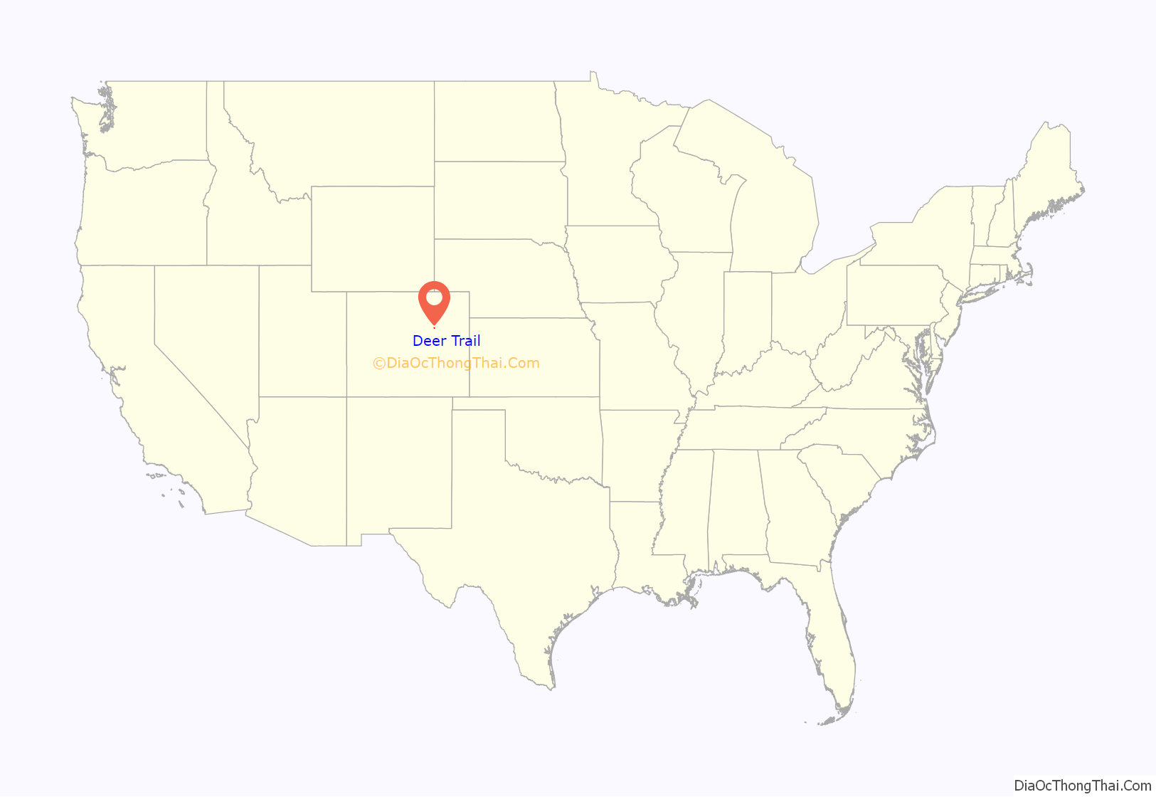
The Town of Deer Trail is a Statutory Town located in eastern Arapahoe County, Colorado, United States. The town population was 1,068 at the 2020 United States Census, a +95.60% increase since the 2010 United States Census. Deer Trail is a part of the Denver–Aurora–Lakewood, CO Metropolitan Statistical Area and the Front Range Urban Corridor. The town is situated along Interstate 70, approximately 55 miles (89 km) east of Denver.
| Name: | Deer Trail town |
|---|---|
| LSAD Code: | 43 |
| LSAD Description: | town (suffix) |
| State: | Colorado |
| County: | Arapahoe County |
| Incorporated: | February 3, 1920 |
| Elevation: | 5,190 ft (1,582 m) |
| Total Area: | 1.180 sq mi (3.055 km²) |
| Land Area: | 1.175 sq mi (3.044 km²) |
| Water Area: | 0.004 sq mi (0.011 km²) |
| Total Population: | 1,068 |
| Population Density: | 909/sq mi (351/km²) |
| ZIP code: | 80105 |
| Area code: | Both 303 and 720 |
| FIPS code: | 0819630 |
| Website: | townofdeertrail.colorado.gov |
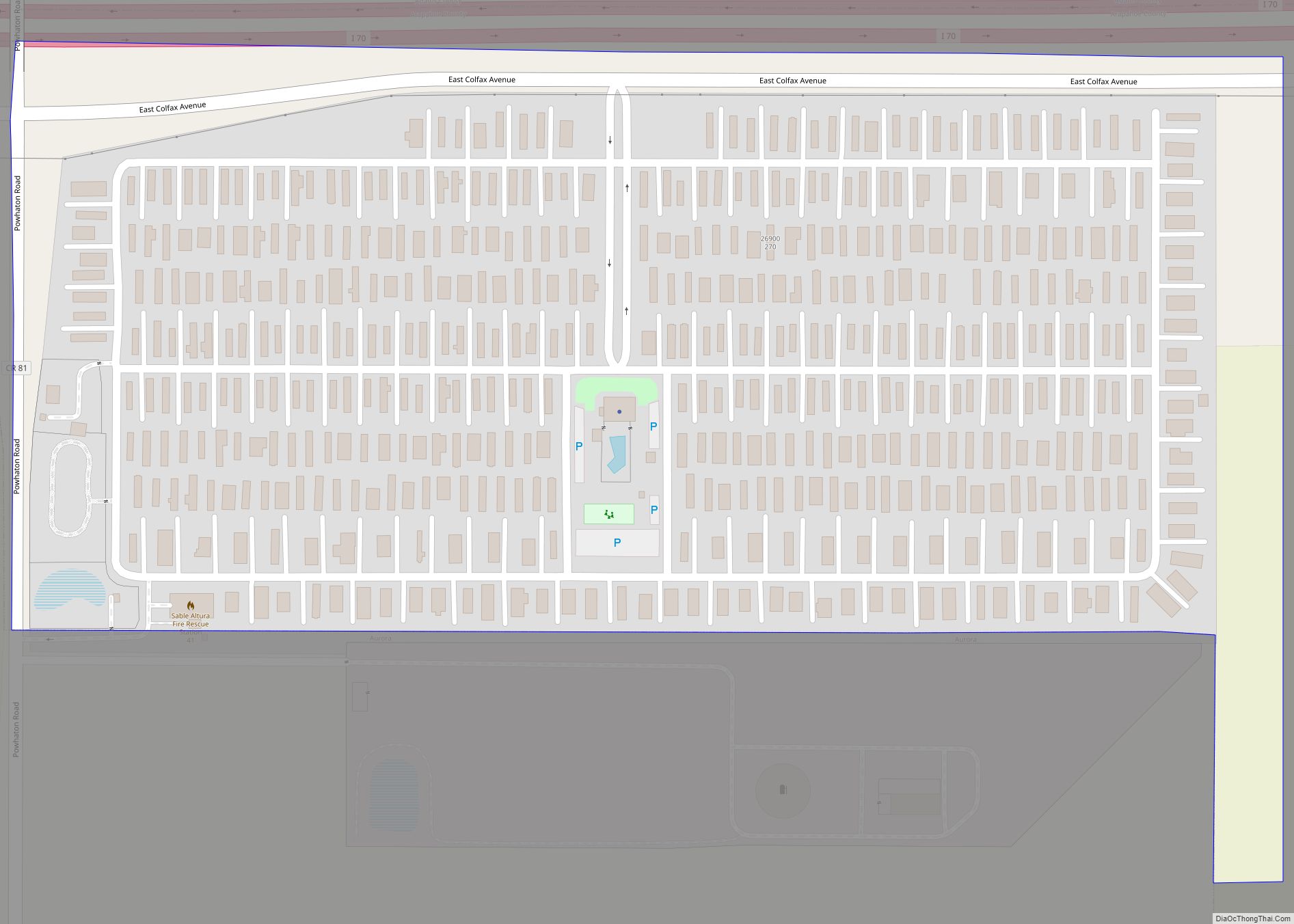
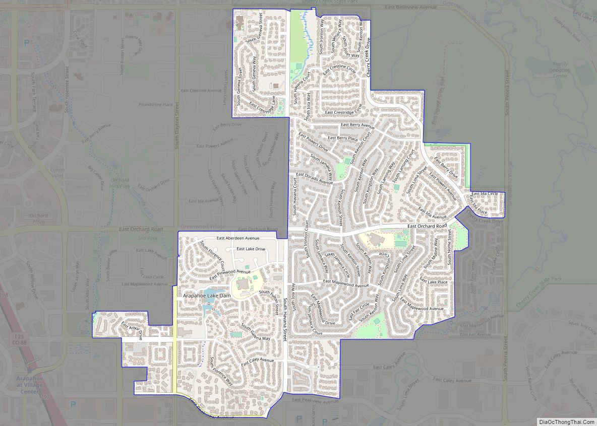
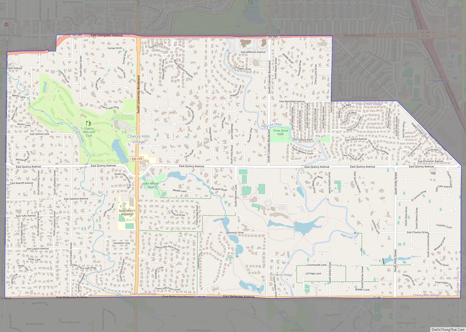
Online Interactive Map
Click on ![]() to view map in "full screen" mode.
to view map in "full screen" mode.
Deer Trail location map. Where is Deer Trail town?
History
Deer Trail was founded when the Kansas Pacific Railway built a station in what is now Deer Trail in 1870. The town was platted by the railway in 1875 and soon became a shipping point for grain, livestock, and eggs. By the late 1920s Deer Trail grew into a town larger than it is today with two banks, five grocery stores, and three hotels. The Great Depression of the 1930s took a major toll on the town’s economy, and a further blow took place in June 1965 when a devastating flood destroyed or severely damaged the businesses along main street. Many of these buildings were never rebuilt. Deer Trail hosted the first rodeo exhibition on July 4, 1869.
In 2013, the town was considering an ordinance that would create drone hunting licenses and offer bounties for unmanned aerial vehicles.
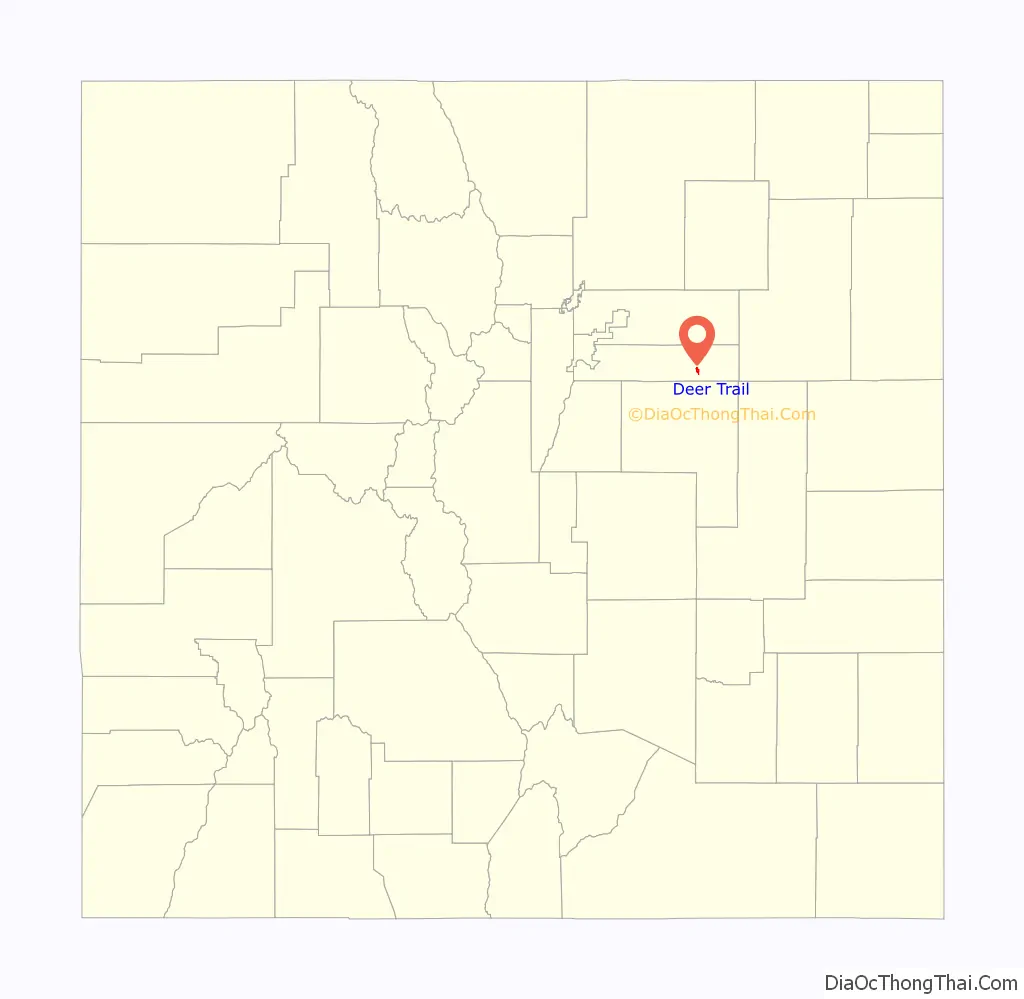
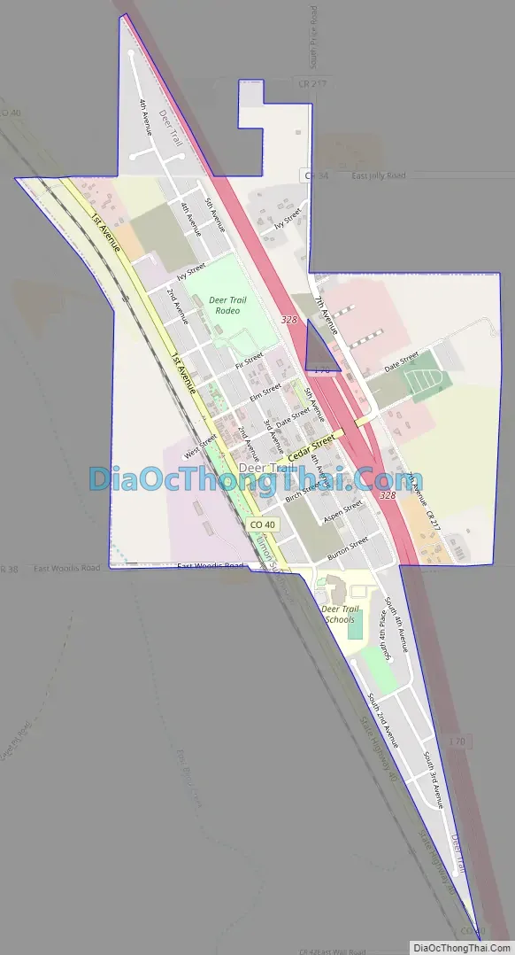
Deer Trail Road Map
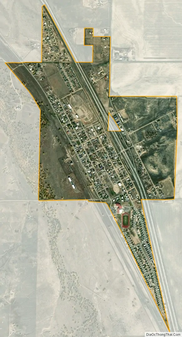
Deer Trail city Satellite Map
Geography
Deer Trail is located at 39°36′57″N 104°2′35″W / 39.61583°N 104.04306°W / 39.61583; -104.04306 (39.615888, -104.042967).
At the 2020 United States Census, the town had a total area of 755 acres (3.055 km) including 2.7 acres (0.011 km) of water.
See also
Map of Colorado State and its subdivision:- Adams
- Alamosa
- Arapahoe
- Archuleta
- Baca
- Bent
- Boulder
- Broomfield
- Chaffee
- Cheyenne
- Clear Creek
- Conejos
- Costilla
- Crowley
- Custer
- Delta
- Denver
- Dolores
- Douglas
- Eagle
- El Paso
- Elbert
- Fremont
- Garfield
- Gilpin
- Grand
- Gunnison
- Hinsdale
- Huerfano
- Jackson
- Jefferson
- Kiowa
- Kit Carson
- La Plata
- Lake
- Larimer
- Las Animas
- Lincoln
- Logan
- Mesa
- Mineral
- Moffat
- Montezuma
- Montrose
- Morgan
- Otero
- Ouray
- Park
- Phillips
- Pitkin
- Prowers
- Pueblo
- Rio Blanco
- Rio Grande
- Routt
- Saguache
- San Juan
- San Miguel
- Sedgwick
- Summit
- Teller
- Washington
- Weld
- Yuma
- Alabama
- Alaska
- Arizona
- Arkansas
- California
- Colorado
- Connecticut
- Delaware
- District of Columbia
- Florida
- Georgia
- Hawaii
- Idaho
- Illinois
- Indiana
- Iowa
- Kansas
- Kentucky
- Louisiana
- Maine
- Maryland
- Massachusetts
- Michigan
- Minnesota
- Mississippi
- Missouri
- Montana
- Nebraska
- Nevada
- New Hampshire
- New Jersey
- New Mexico
- New York
- North Carolina
- North Dakota
- Ohio
- Oklahoma
- Oregon
- Pennsylvania
- Rhode Island
- South Carolina
- South Dakota
- Tennessee
- Texas
- Utah
- Vermont
- Virginia
- Washington
- West Virginia
- Wisconsin
- Wyoming