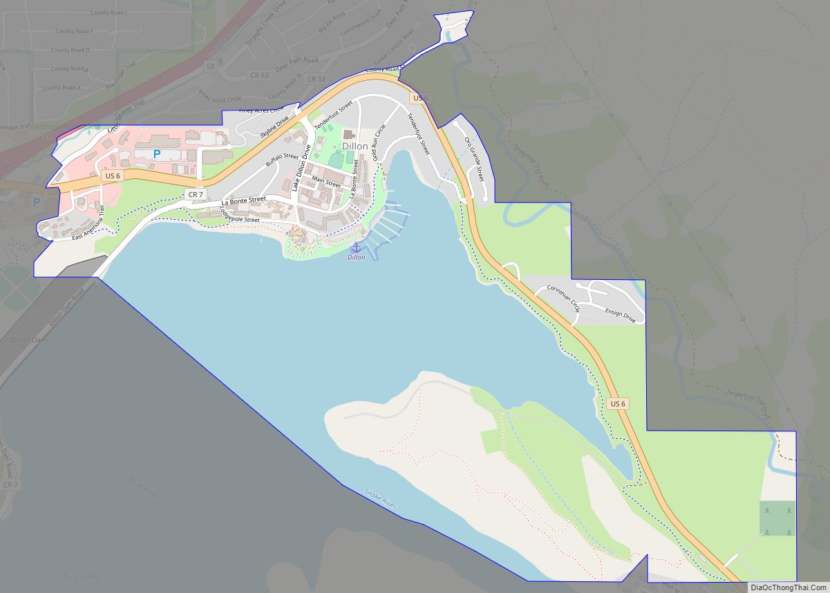
The Town of Dillon is a home rule municipality located in Summit County, Colorado, United States. The town population was 1,064 at the 2020 United States Census, a +17.70% increase since the 2010 United States Census. Dillon is a part of the Breckenridge, CO Micropolitan Statistical Area.
| Name: | Dillon town |
|---|---|
| LSAD Code: | 43 |
| LSAD Description: | town (suffix) |
| State: | Colorado |
| County: | Summit County |
| Incorporated: | January 26, 1883 |
| Elevation: | 9,111 ft (2,777 m) |
| Total Area: | 2.324 sq mi (6.018 km²) |
| Land Area: | 1.494 sq mi (3.869 km²) |
| Water Area: | 0.830 sq mi (2.149 km²) |
| Total Population: | 1,064 |
| Population Density: | 712/sq mi (275/km²) |
| ZIP code: | 80435 |
| Area code: | 970 |
| FIPS code: | 0820440 |
| Website: | www.townofdillon.com |
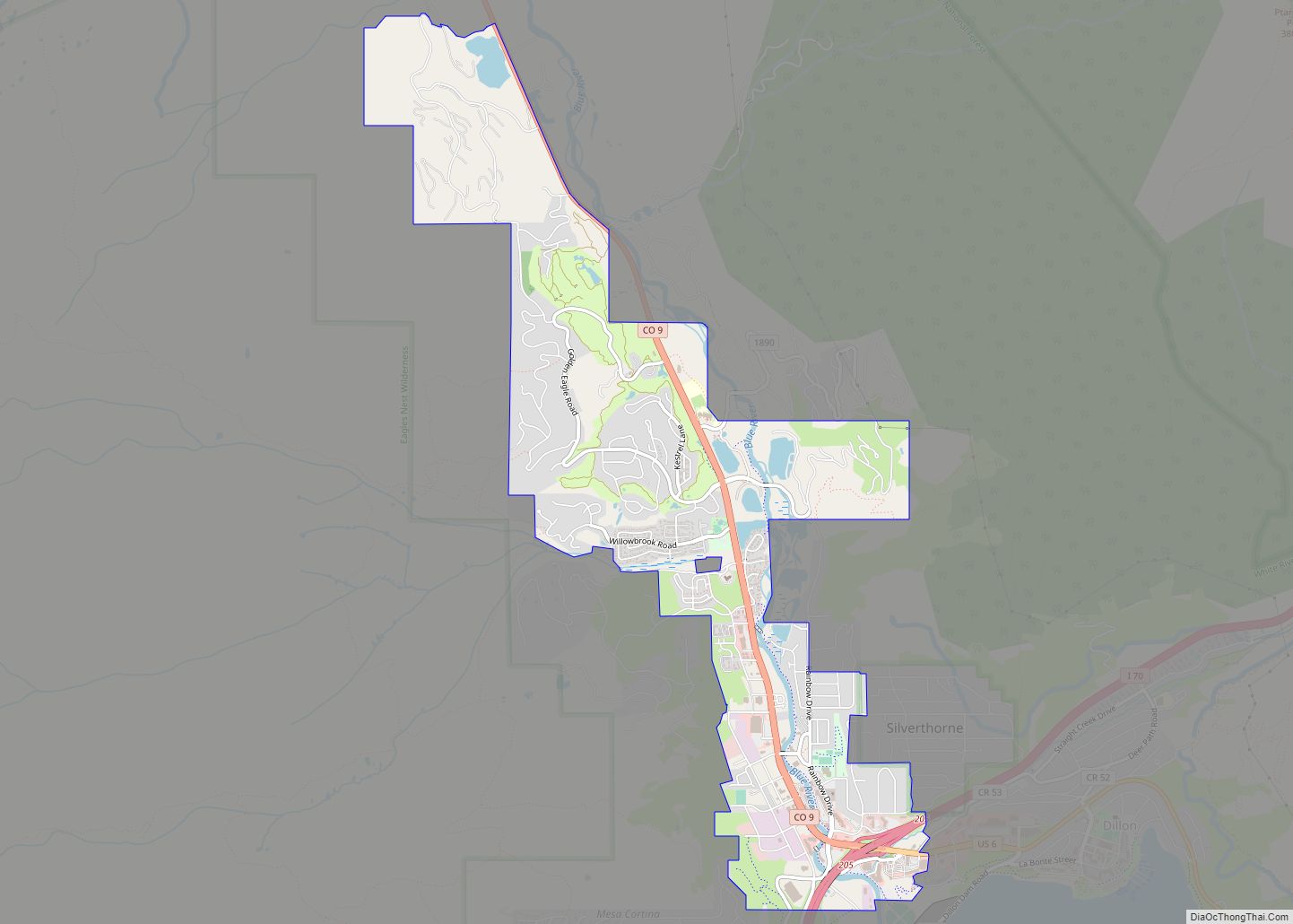
Online Interactive Map
Click on ![]() to view map in "full screen" mode.
to view map in "full screen" mode.
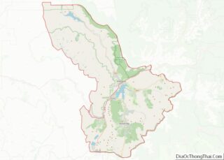
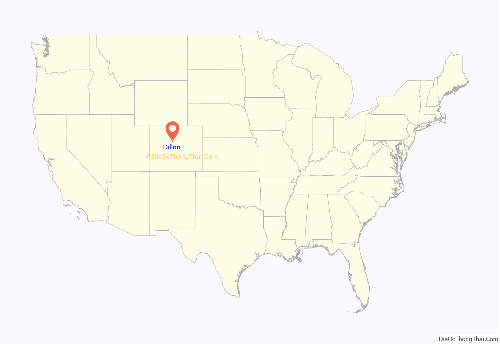
Dillon location map. Where is Dillon town?

History
The original town of Dillon was built as a stage stop and trading post on the northeast side of the Snake River. The town was named for Tom Dillon, a prospector, and was incorporated in 1883. By 1892 the town had been relocated twice, both times in order to be closer to railroad lines that were extended into the area. All three of these historic townsites were situated very close to the Blue River Valley confluence where the Snake River and Tenmile Creek flowed in, and this area is now referred to collectively as “Old Dillon”.
During the Great Depression, Denver Water began acquiring land around Dillon. In 1956, residents and business owners in Dillon were notified that they would need to sell their property and move out, because Denver Water was about to begin construction on a dam just downstream from the town, and the resulting reservoir (which would help supply water to Front Range communities) was going to flood Dillon and the surrounding valley. About a mile to the north, some land on a hillside was set aside for the current townsite, which is now situated on the shoreline of Dillon Reservoir.
Dillon Road Map

Dillon city Satellite Map

Geography
Dillon is located at 39°37′40″N 106°2′39″W / 39.62778°N 106.04417°W / 39.62778; -106.04417 (39.627659, -106.044199).
At the 2020 United States Census, the town had a total area of 1,487 acres (6.018 km) including 531 acres (2.149 km) of water. Dillon Dam and its reservoir (Lake Dillon) are adjacent. The Continental Divide of the Americas is approximately 10 miles (16 km) east.
Climate
According to the Köppen climate classification, Dillon has an alpine subarctic climate (Dfc). Summer days are usually warm, but with nights dropping close to freezing. Winter days are cold, with massive amounts of snowfall.
See also
Map of Colorado State and its subdivision:- Adams
- Alamosa
- Arapahoe
- Archuleta
- Baca
- Bent
- Boulder
- Broomfield
- Chaffee
- Cheyenne
- Clear Creek
- Conejos
- Costilla
- Crowley
- Custer
- Delta
- Denver
- Dolores
- Douglas
- Eagle
- El Paso
- Elbert
- Fremont
- Garfield
- Gilpin
- Grand
- Gunnison
- Hinsdale
- Huerfano
- Jackson
- Jefferson
- Kiowa
- Kit Carson
- La Plata
- Lake
- Larimer
- Las Animas
- Lincoln
- Logan
- Mesa
- Mineral
- Moffat
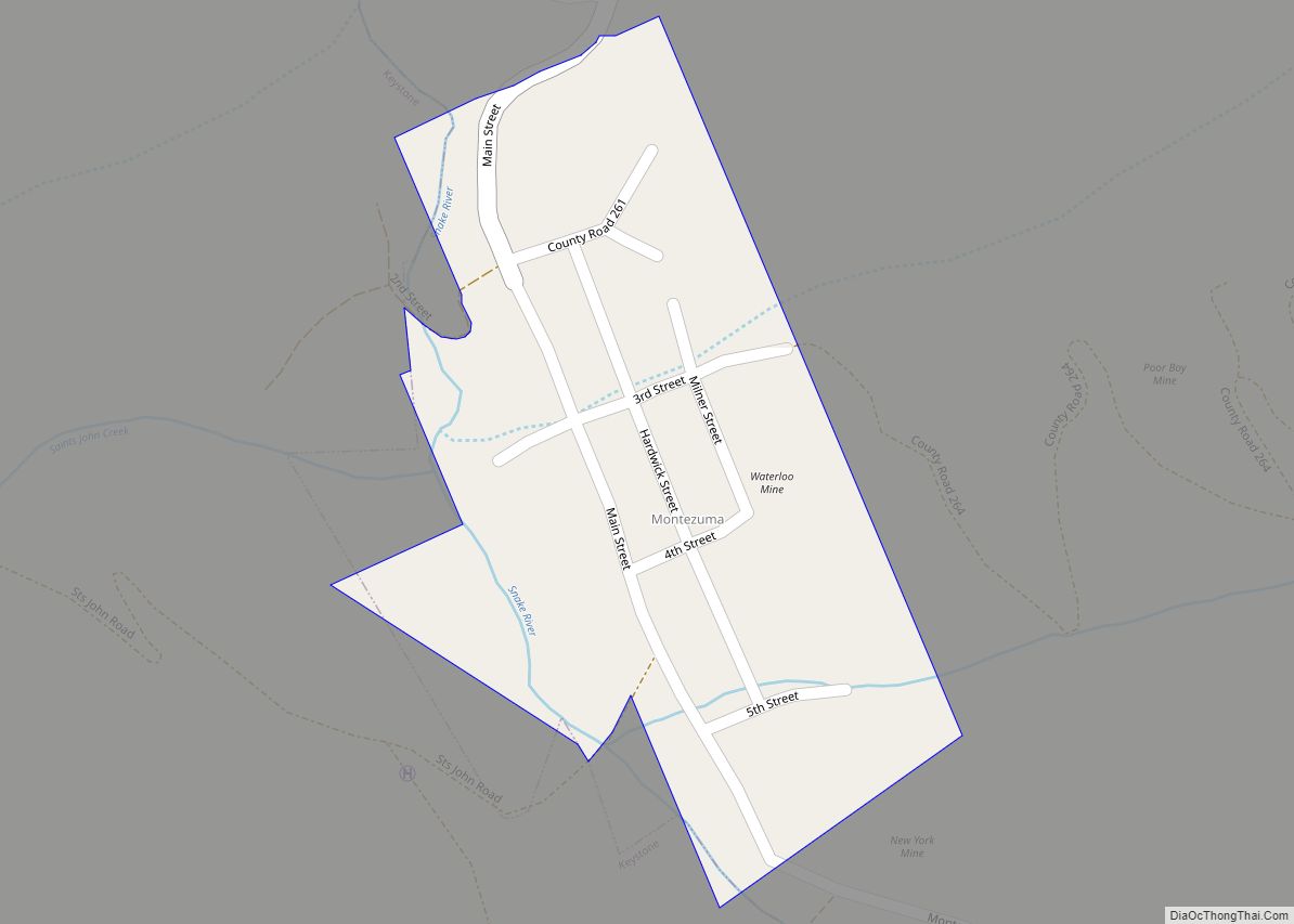
- Montezuma
- Montrose
- Morgan
- Otero
- Ouray
- Park
- Phillips
- Pitkin
- Prowers
- Pueblo
- Rio Blanco
- Rio Grande
- Routt
- Saguache
- San Juan
- San Miguel
- Sedgwick
- Summit
- Teller
- Washington
- Weld
- Yuma
- Alabama
- Alaska
- Arizona
- Arkansas
- California
- Colorado
- Connecticut
- Delaware
- District of Columbia
- Florida
- Georgia
- Hawaii
- Idaho
- Illinois
- Indiana
- Iowa
- Kansas
- Kentucky
- Louisiana
- Maine
- Maryland
- Massachusetts
- Michigan
- Minnesota
- Mississippi
- Missouri
- Montana
- Nebraska
- Nevada
- New Hampshire
- New Jersey
- New Mexico
- New York
- North Carolina
- North Dakota
- Ohio
- Oklahoma
- Oregon
- Pennsylvania
- Rhode Island
- South Carolina
- South Dakota
- Tennessee
- Texas
- Utah
- Vermont
- Virginia
- Washington
- West Virginia
- Wisconsin
- Wyoming