The Town of Eagle is the Statutory Town that is the county seat of Eagle County, Colorado, United States. The town population was 7,511 at the 2020 United States Census, a +15.41% increase since the 2010 United States Census. Eagle is the part of the Edwards, CO Micropolitan Statistical Area.
The town has an extensive trail system for mountain biking, hiking and trail running.
| Name: | Eagle town |
|---|---|
| LSAD Code: | 43 |
| LSAD Description: | town (suffix) |
| State: | Colorado |
| County: | Eagle County |
| Elevation: | 6,601 ft (2,012 m) |
| Total Area: | 5.661 sq mi (14.663 km²) |
| Land Area: | 5.641 sq mi (14.611 km²) |
| Water Area: | 0.020 sq mi (0.052 km²) |
| Total Population: | 7,511 |
| Population Density: | 1,331/sq mi (514/km²) |
| ZIP code: | 81631 (PO Box) |
| Area code: | 970 |
| FIPS code: | 0822200 |
| GNISfeature ID: | 0204664 |
| Website: | www.townofeagle.org |
Online Interactive Map
Click on ![]() to view map in "full screen" mode.
to view map in "full screen" mode.
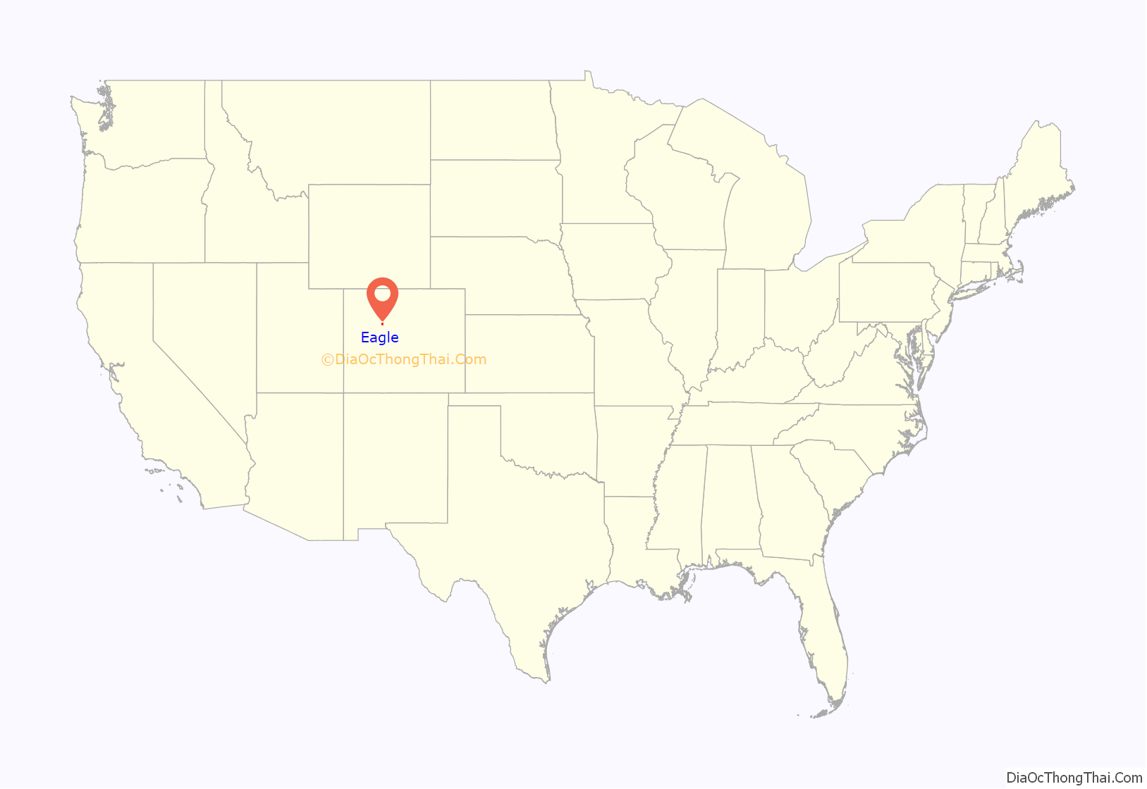
Eagle location map. Where is Eagle town?
History
A post office called Eagle has been in operation since 1891. The town takes its name from Eagle County, which itself takes its name from the Eagle River. Eagle was incorporated in 1905.
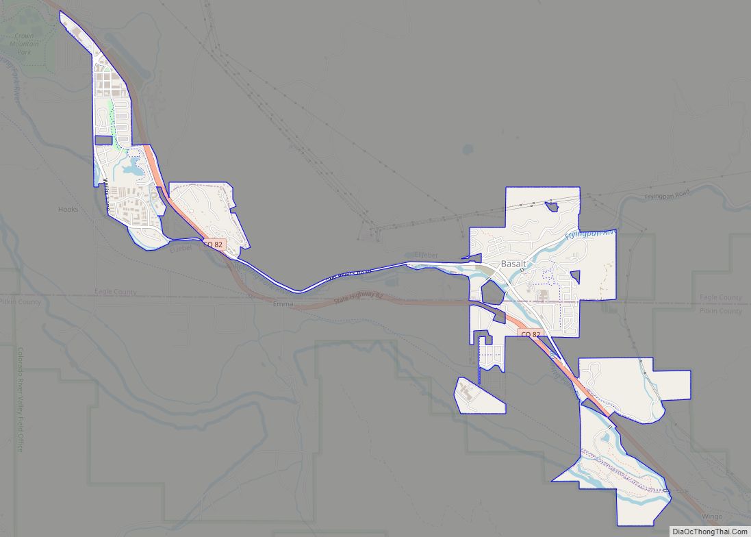
Eagle Road Map
Eagle city Satellite Map
Geography
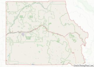
Eagle is located west of the center of Eagle County in the valley of the Eagle River, a west-flowing tributary of the Colorado River. The town limits extend southward up the valley of Brush Creek. U.S. Route 6 passes through the center of town, and Interstate 70 passes through the northern side, with access from Exit 147. Vail is 30 miles (48 km) to the east, and Glenwood Springs is 31 miles (50 km) to the west.
At the 2020 United States Census, the town had a total area of 3,623 acres (14.663 km) including 13 acres (0.052 km) of water.
Climate
The climate of Eagle is characterized by cold winters, hot summers, and relatively little precipitation. Under the Köppen climate classification, Eagle has a warm-summer humid continental climate (Dfb), but it is borderline semi-arid (BSk) due to low rainfall. As a consequence of the city’s high elevation, temperatures drop sharply after sunset.
See also
Map of Colorado State and its subdivision:- Adams
- Alamosa
- Arapahoe
- Archuleta
- Baca
- Bent
- Boulder
- Broomfield
- Chaffee
- Cheyenne
- Clear Creek
- Conejos
- Costilla
- Crowley
- Custer
- Delta
- Denver
- Dolores
- Douglas
- Eagle
- El Paso
- Elbert
- Fremont
- Garfield
- Gilpin
- Grand
- Gunnison
- Hinsdale
- Huerfano
- Jackson
- Jefferson
- Kiowa
- Kit Carson
- La Plata
- Lake
- Larimer
- Las Animas
- Lincoln
- Logan
- Mesa
- Mineral
- Moffat
- Montezuma
- Montrose
- Morgan
- Otero
- Ouray
- Park
- Phillips
- Pitkin
- Prowers
- Pueblo
- Rio Blanco
- Rio Grande
- Routt
- Saguache
- San Juan
- San Miguel
- Sedgwick
- Summit
- Teller
- Washington
- Weld
- Yuma
- Alabama
- Alaska
- Arizona
- Arkansas
- California
- Colorado
- Connecticut
- Delaware
- District of Columbia
- Florida
- Georgia
- Hawaii
- Idaho
- Illinois
- Indiana
- Iowa
- Kansas
- Kentucky
- Louisiana
- Maine
- Maryland
- Massachusetts
- Michigan
- Minnesota
- Mississippi
- Missouri
- Montana
- Nebraska
- Nevada
- New Hampshire
- New Jersey
- New Mexico
- New York
- North Carolina
- North Dakota
- Ohio
- Oklahoma
- Oregon
- Pennsylvania
- Rhode Island
- South Carolina
- South Dakota
- Tennessee
- Texas
- Utah
- Vermont
- Virginia
- Washington
- West Virginia
- Wisconsin
- Wyoming
