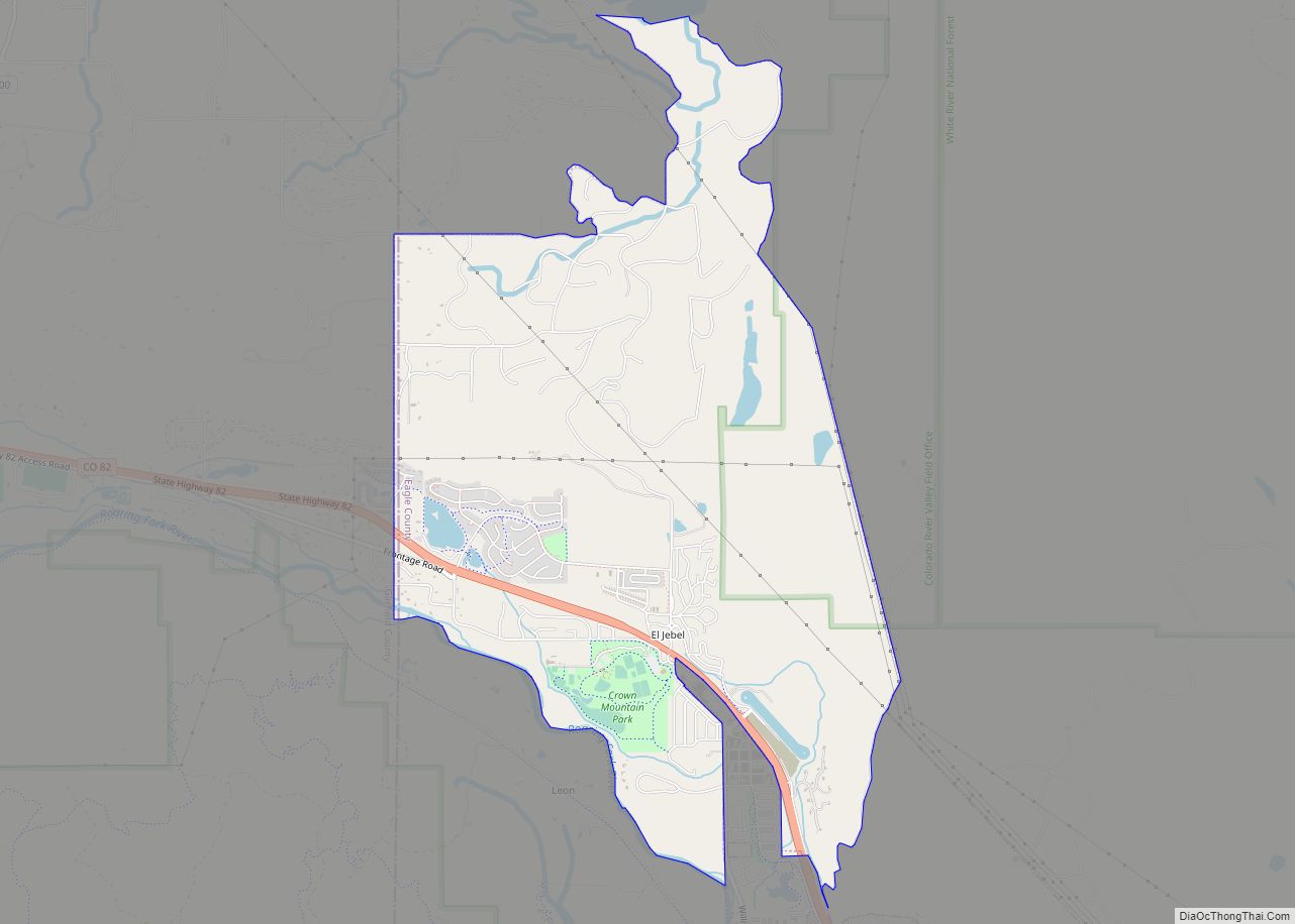
El Jebel is an unincorporated community and a census-designated place (CDP) located in and governed by Eagle County, Colorado, United States. The CDP is a part of the Edwards, CO Micropolitan Statistical Area. The population of the El Jebel CDP was 4,130 at the United States Census 2020. The Carbondale Post Office (ZIP Code 81623) serves El Jebel postal addresses.
| Name: | El Jebel CDP |
|---|---|
| LSAD Code: | 57 |
| LSAD Description: | CDP (suffix) |
| State: | Colorado |
| County: | Eagle County |
| Elevation: | 6,617 ft (2,017 m) |
| Total Area: | 5.359 sq mi (13.880 km²) |
| Land Area: | 5.305 sq mi (13.739 km²) |
| Water Area: | 0.054 sq mi (0.141 km²) |
| Total Population: | 4,130 |
| Population Density: | 770/sq mi (300/km²) |
| ZIP code: | 81623 |
| Area code: | 970 |
| FIPS code: | 0823795 |
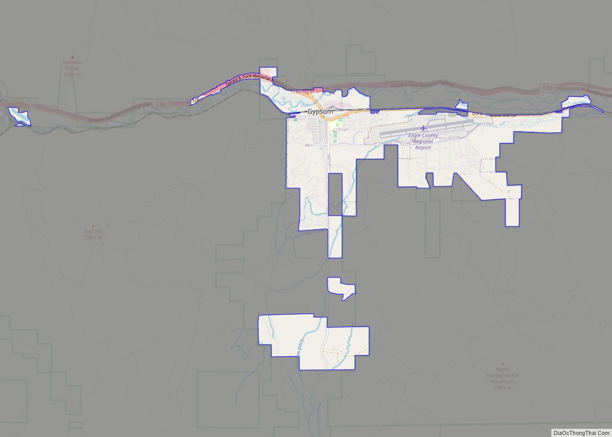
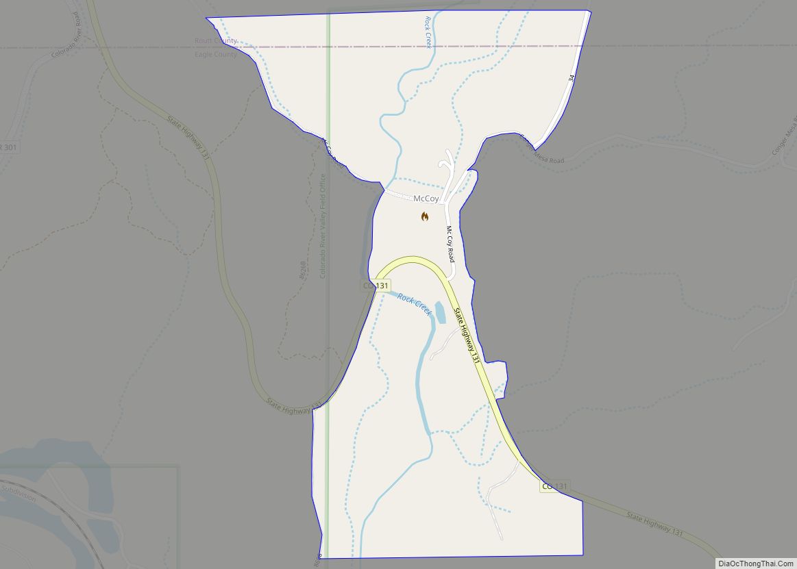
Online Interactive Map
Click on ![]() to view map in "full screen" mode.
to view map in "full screen" mode.
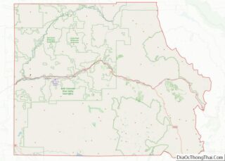
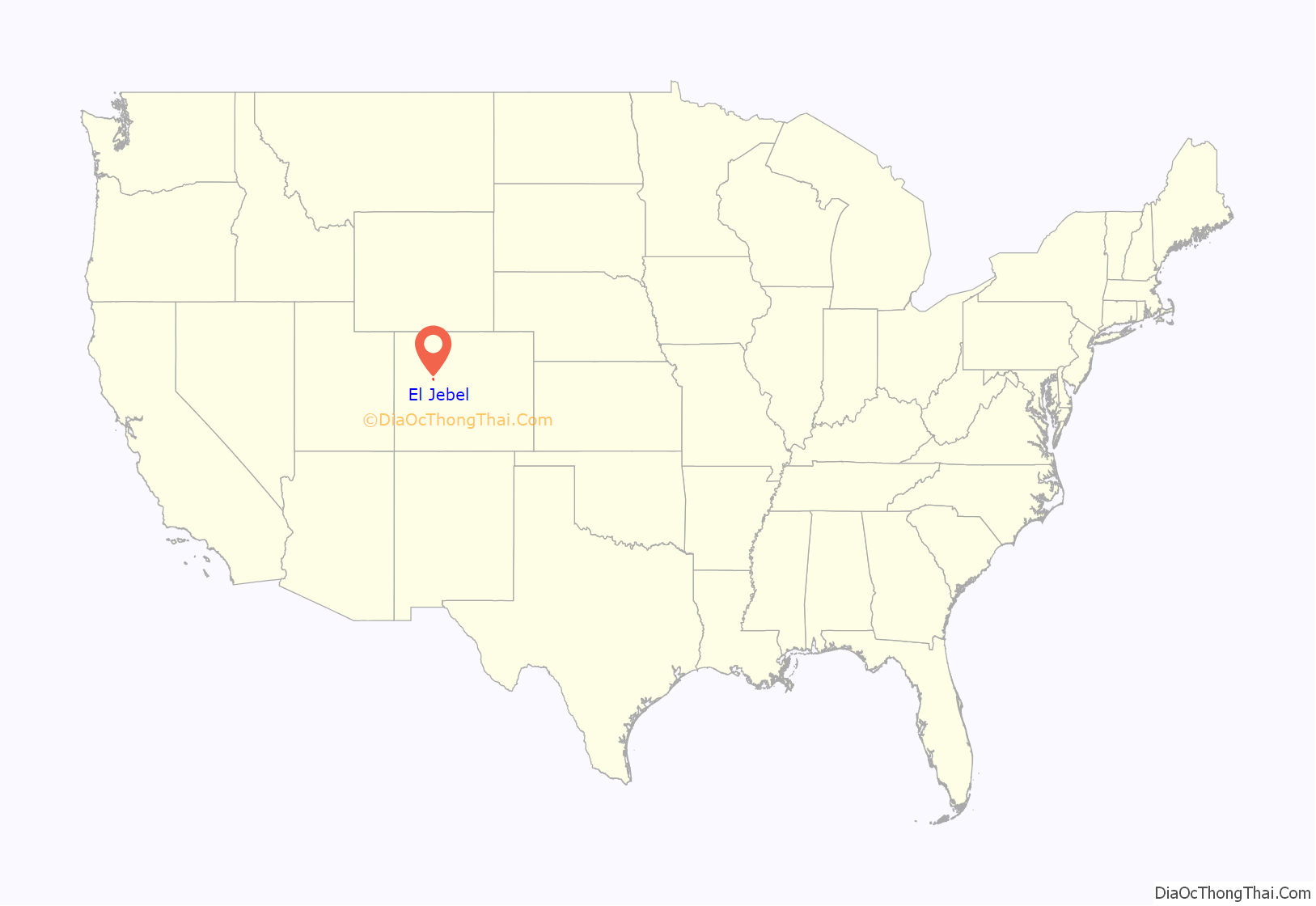
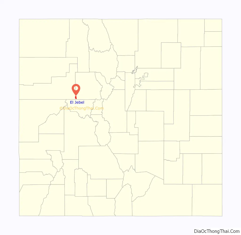
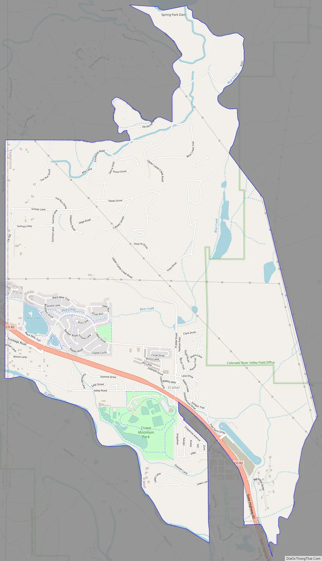
El Jebel location map. Where is El Jebel CDP?
History
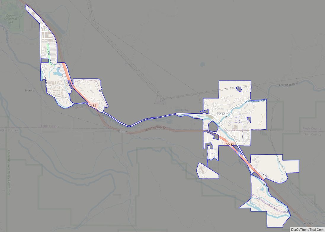
El Jebel grew rapidly in the last two decades of the 20th century with the population increase in the valley downstream from Aspen. It consists largely of a group of commercial establishments just off State Highway 82, approximately 3 miles (5 km) northwest of Basalt, as well as several housing subdivisions nearby.
El Jebel Road Map
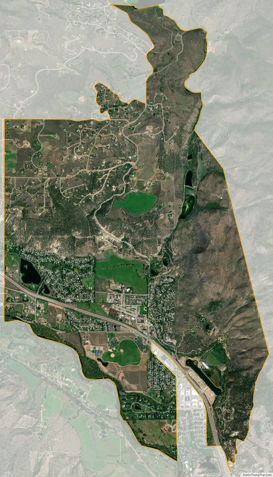
El Jebel city Satellite Map
Geography
El Jebel is located in the Roaring Fork Valley, between Carbondale and Basalt, along the north side of State Highway 82.
The El Jebel CDP has an area of 3,430 acres (13.880 km), including 35 acres (0.141 km) of water.
Climate
This climate type is dominated by the winter season, a long, bitterly cold period with short, clear days, relatively little precipitation mostly in the form of snow, and low humidity. According to the Köppen Climate Classification system, El Jebel has a subarctic climate, abbreviated “Dfc” on climate maps.
See also
Map of Colorado State and its subdivision:- Adams
- Alamosa
- Arapahoe
- Archuleta
- Baca
- Bent
- Boulder
- Broomfield
- Chaffee
- Cheyenne
- Clear Creek
- Conejos
- Costilla
- Crowley
- Custer
- Delta
- Denver
- Dolores
- Douglas
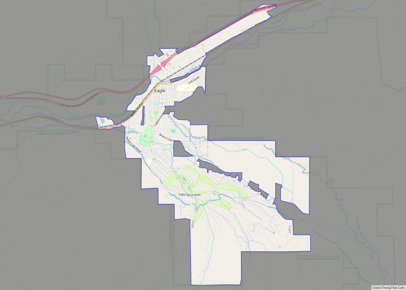
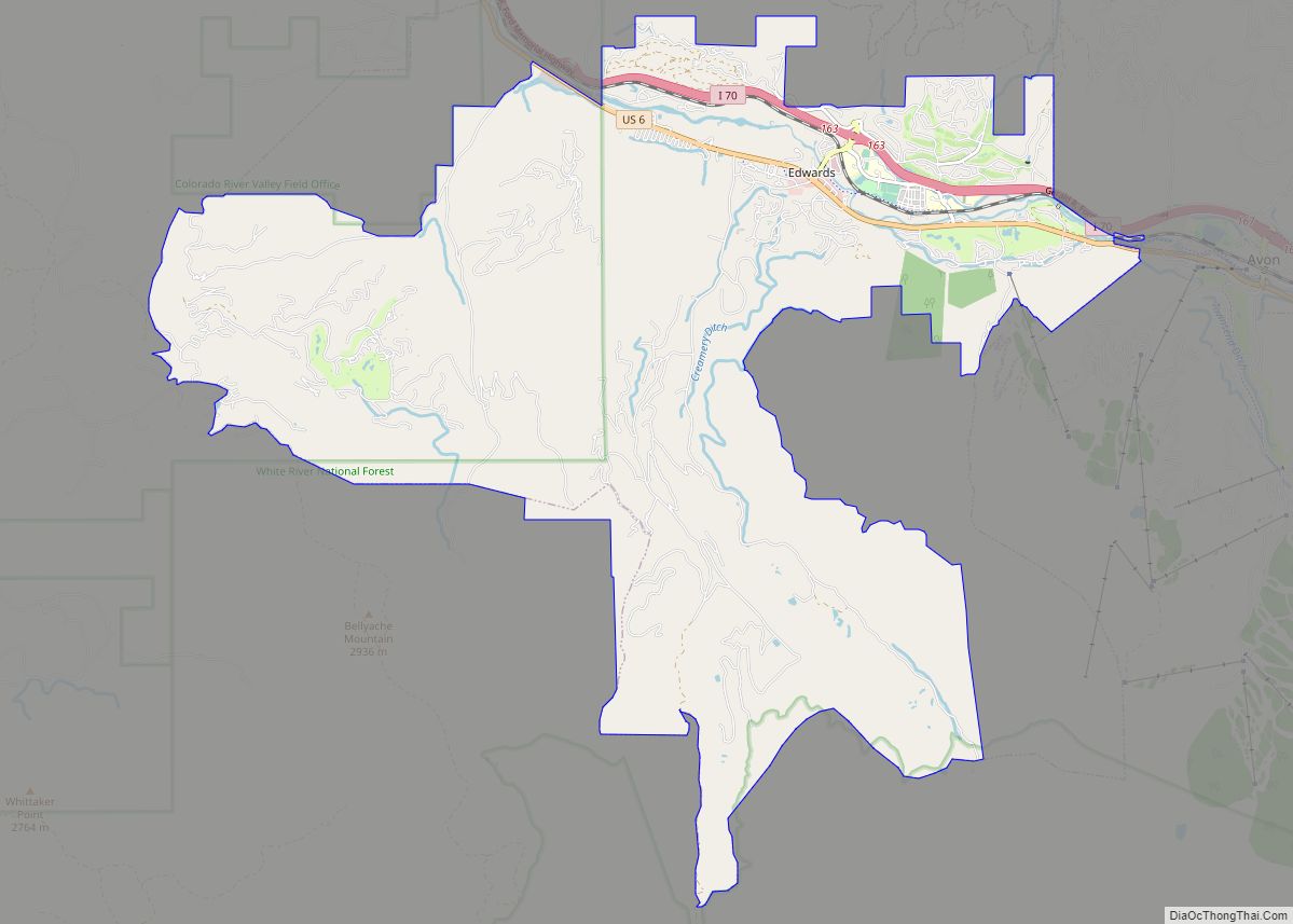
- Eagle
- El Paso
- Elbert
- Fremont
- Garfield
- Gilpin
- Grand
- Gunnison
- Hinsdale
- Huerfano
- Jackson
- Jefferson
- Kiowa
- Kit Carson
- La Plata
- Lake
- Larimer
- Las Animas
- Lincoln
- Logan
- Mesa
- Mineral
- Moffat
- Montezuma
- Montrose
- Morgan
- Otero
- Ouray
- Park
- Phillips
- Pitkin
- Prowers
- Pueblo
- Rio Blanco
- Rio Grande
- Routt
- Saguache
- San Juan
- San Miguel
- Sedgwick
- Summit
- Teller
- Washington
- Weld
- Yuma
- Alabama
- Alaska
- Arizona
- Arkansas
- California
- Colorado
- Connecticut
- Delaware
- District of Columbia
- Florida
- Georgia
- Hawaii
- Idaho
- Illinois
- Indiana
- Iowa
- Kansas
- Kentucky
- Louisiana
- Maine
- Maryland
- Massachusetts
- Michigan
- Minnesota
- Mississippi
- Missouri
- Montana
- Nebraska
- Nevada
- New Hampshire
- New Jersey
- New Mexico
- New York
- North Carolina
- North Dakota
- Ohio
- Oklahoma
- Oregon
- Pennsylvania
- Rhode Island
- South Carolina
- South Dakota
- Tennessee
- Texas
- Utah
- Vermont
- Virginia
- Washington
- West Virginia
- Wisconsin
- Wyoming