Eldorado Springs is an unincorporated community, a census-designated place (CDP) and a post office located in and governed by Boulder County, Colorado, United States. The CDP is a part of the Boulder, CO Metropolitan Statistical Area. The Eldorado Springs post office has the ZIP code 80025 (post office boxes). At the 2020 United States census, the population of the Eldorado Springs CDP was 559.
The nearby Eldorado Canyon State Park is famous for its classic North-American climbing routes.
| Name: | Eldorado Springs CDP |
|---|---|
| LSAD Code: | 57 |
| LSAD Description: | CDP (suffix) |
| State: | Colorado |
| County: | Boulder County |
| Elevation: | 5,682 ft (1,732 m) |
| Total Area: | 2.585 sq mi (6.696 km²) |
| Land Area: | 2.584 sq mi (6.692 km²) |
| Water Area: | 0.002 sq mi (0.004 km²) |
| Total Population: | 559 |
| Population Density: | 220/sq mi (83/km²) |
| ZIP code: | 80025 |
| FIPS code: | 0823630 |
Online Interactive Map
Click on ![]() to view map in "full screen" mode.
to view map in "full screen" mode.
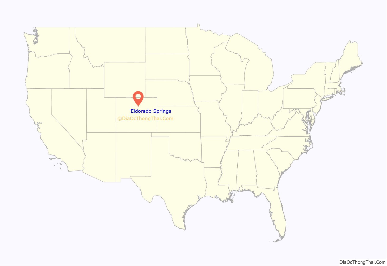
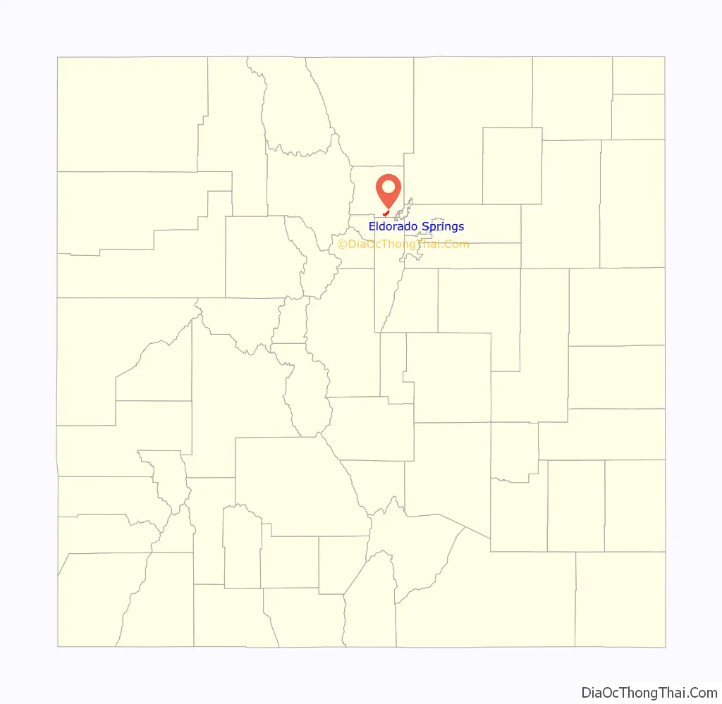
Eldorado Springs location map. Where is Eldorado Springs CDP?
History
In 1916, Dwight and Mamie Eisenhower celebrated their honeymoon in one of the cabins at the resort. Also known for its good tasting spring water, “Eldorado Springs” bottled water is sold in stores around Colorado.
Notable residents
- Pansy Stockton (1895–1972), artist
- Mark Emery Udall (1950- ), U.S. Senator
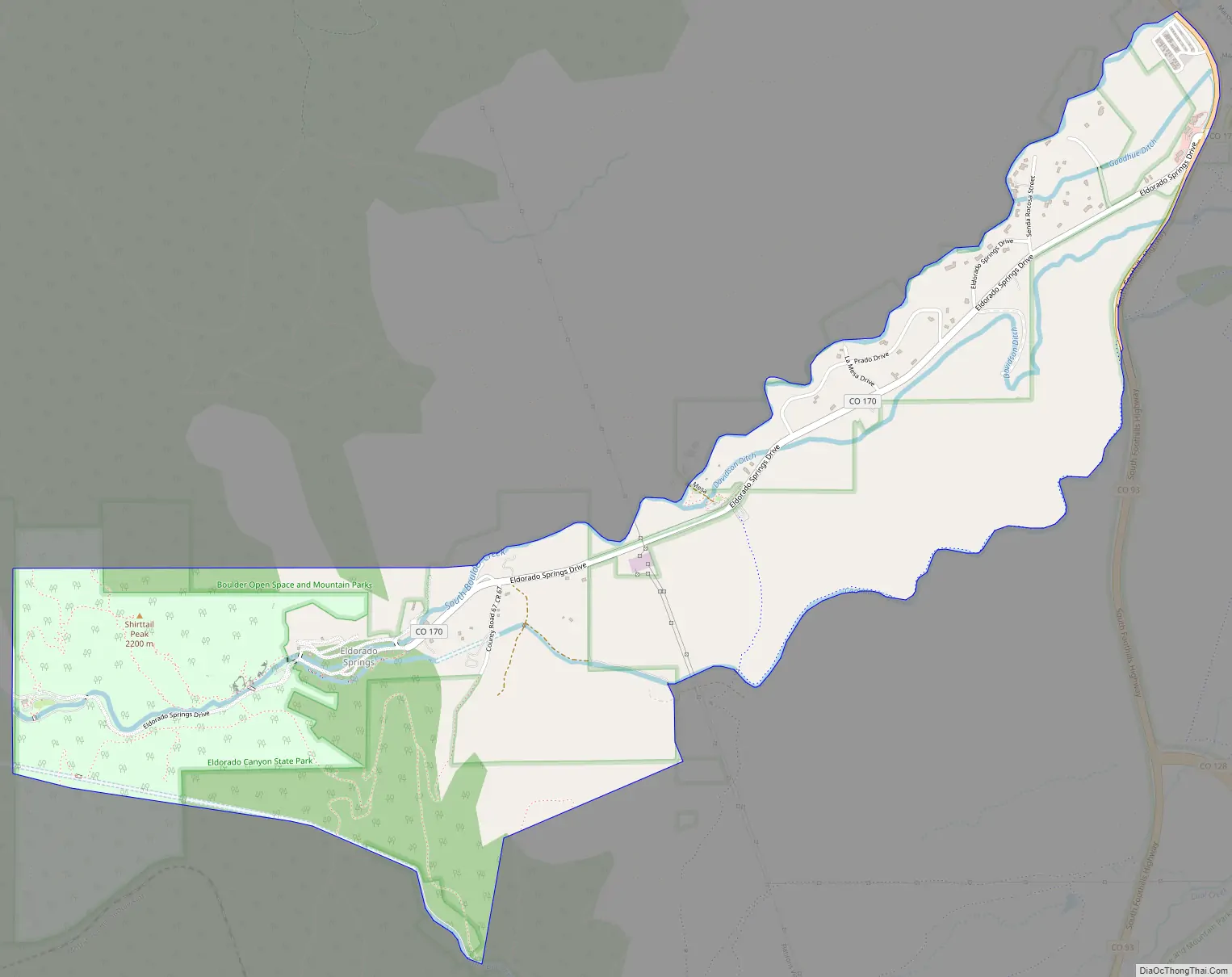
Eldorado Springs Road Map
Eldorado Springs city Satellite Map
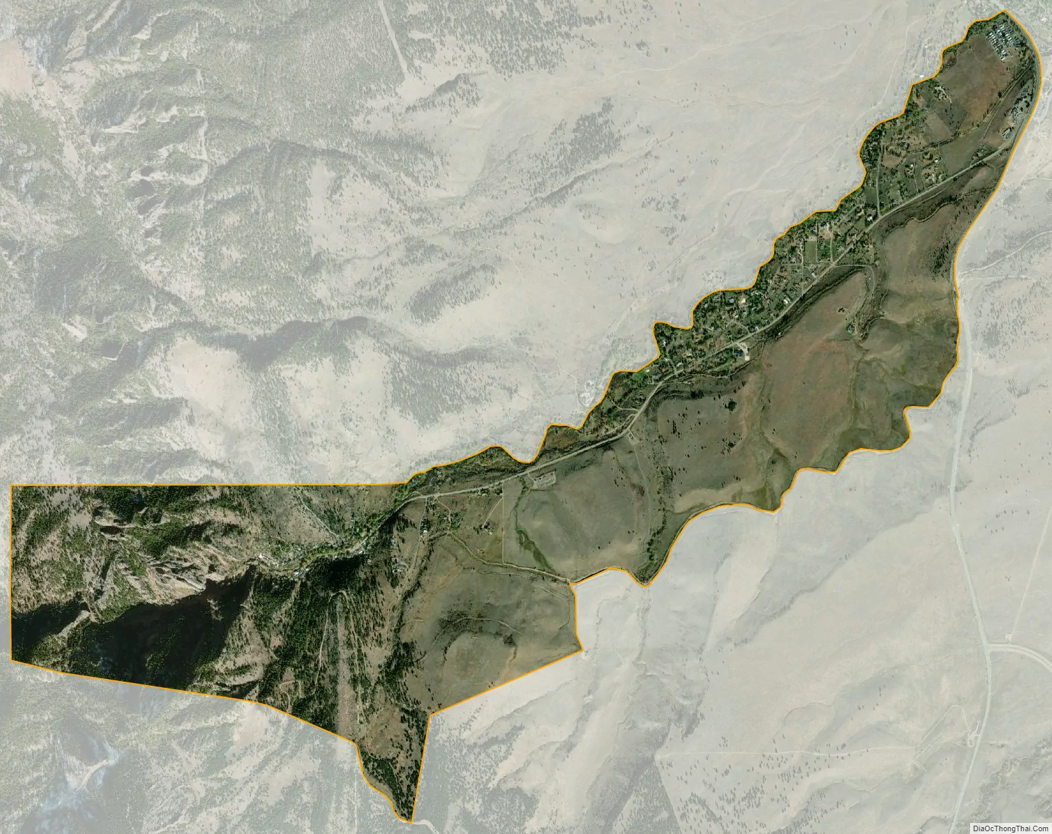
Geography
The Eldorado Springs CDP has an area of 1,655 acres (6.696 km), including 0.99 acres (0.004 km) of water. To the southwest is Eldorado Mountain.
Climate
The United States Census Bureau initially defined the Eldorado Springs CDP for the United States Census 2000.
- Outline of Colorado
- Index of Colorado-related articles
- State of Colorado
- Colorado cities and towns
- Colorado census designated places
- Colorado counties
- List of statistical areas in Colorado
- Front Range Urban Corridor
- North Central Colorado Urban Area
- Denver-Aurora-Boulder, CO Combined Statistical Area
- Boulder, CO Metropolitan Statistical Area
- Eldorado Canyon State Park
- Colorado cities and towns
- Eldorado Springs @ Colorado.com
- Eldorado Springs @ UncoverColorado.com
- Eldorado Canyon State Park
- Boulder County website
See also
Map of Colorado State and its subdivision:- Adams
- Alamosa
- Arapahoe
- Archuleta
- Baca
- Bent
- Boulder
- Broomfield
- Chaffee
- Cheyenne
- Clear Creek
- Conejos
- Costilla
- Crowley
- Custer
- Delta
- Denver
- Dolores
- Douglas
- Eagle
- El Paso
- Elbert
- Fremont
- Garfield
- Gilpin
- Grand
- Gunnison
- Hinsdale
- Huerfano
- Jackson
- Jefferson
- Kiowa
- Kit Carson
- La Plata
- Lake
- Larimer
- Las Animas
- Lincoln
- Logan
- Mesa
- Mineral
- Moffat
- Montezuma
- Montrose
- Morgan
- Otero
- Ouray
- Park
- Phillips
- Pitkin
- Prowers
- Pueblo
- Rio Blanco
- Rio Grande
- Routt
- Saguache
- San Juan
- San Miguel
- Sedgwick
- Summit
- Teller
- Washington
- Weld
- Yuma
- Alabama
- Alaska
- Arizona
- Arkansas
- California
- Colorado
- Connecticut
- Delaware
- District of Columbia
- Florida
- Georgia
- Hawaii
- Idaho
- Illinois
- Indiana
- Iowa
- Kansas
- Kentucky
- Louisiana
- Maine
- Maryland
- Massachusetts
- Michigan
- Minnesota
- Mississippi
- Missouri
- Montana
- Nebraska
- Nevada
- New Hampshire
- New Jersey
- New Mexico
- New York
- North Carolina
- North Dakota
- Ohio
- Oklahoma
- Oregon
- Pennsylvania
- Rhode Island
- South Carolina
- South Dakota
- Tennessee
- Texas
- Utah
- Vermont
- Virginia
- Washington
- West Virginia
- Wisconsin
- Wyoming


