The Town of Fleming is a Statutory Town in Logan County, Colorado, United States. The town population was 428 at the 2020 United States Census. Fleming is a part of the Sterling, CO Micropolitan Statistical Area.
| Name: | Fleming town |
|---|---|
| LSAD Code: | 43 |
| LSAD Description: | town (suffix) |
| State: | Colorado |
| County: | Logan County |
| Elevation: | 4,242 ft (1,293 m) |
| Total Area: | 0.489 sq mi (1.267 km²) |
| Land Area: | 0.489 sq mi (1.267 km²) |
| Water Area: | 0.000 sq mi (0.000 km²) |
| Total Population: | 428 |
| Population Density: | 875/sq mi (338/km²) |
| ZIP code: | 80728 |
| Area code: | 970 |
| FIPS code: | 0826875 |
| GNISfeature ID: | 0204718 |
| Website: | www.flemingcolorado.us |
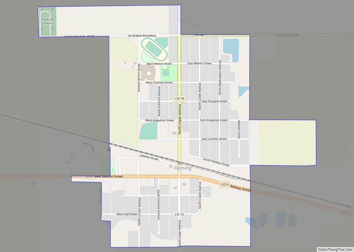
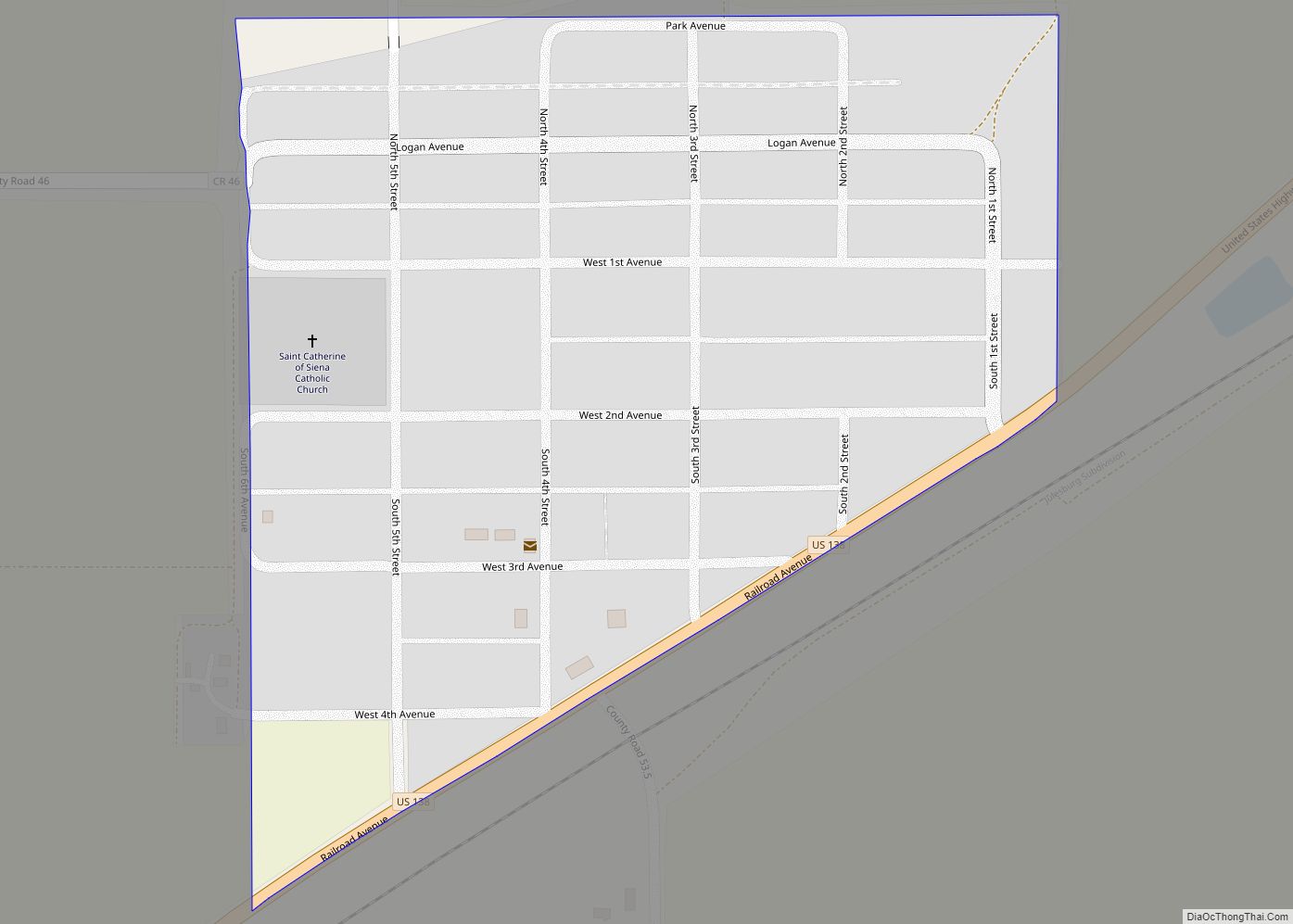
Online Interactive Map
Click on ![]() to view map in "full screen" mode.
to view map in "full screen" mode.
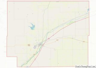
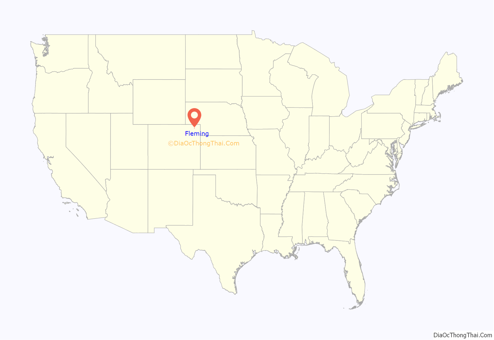
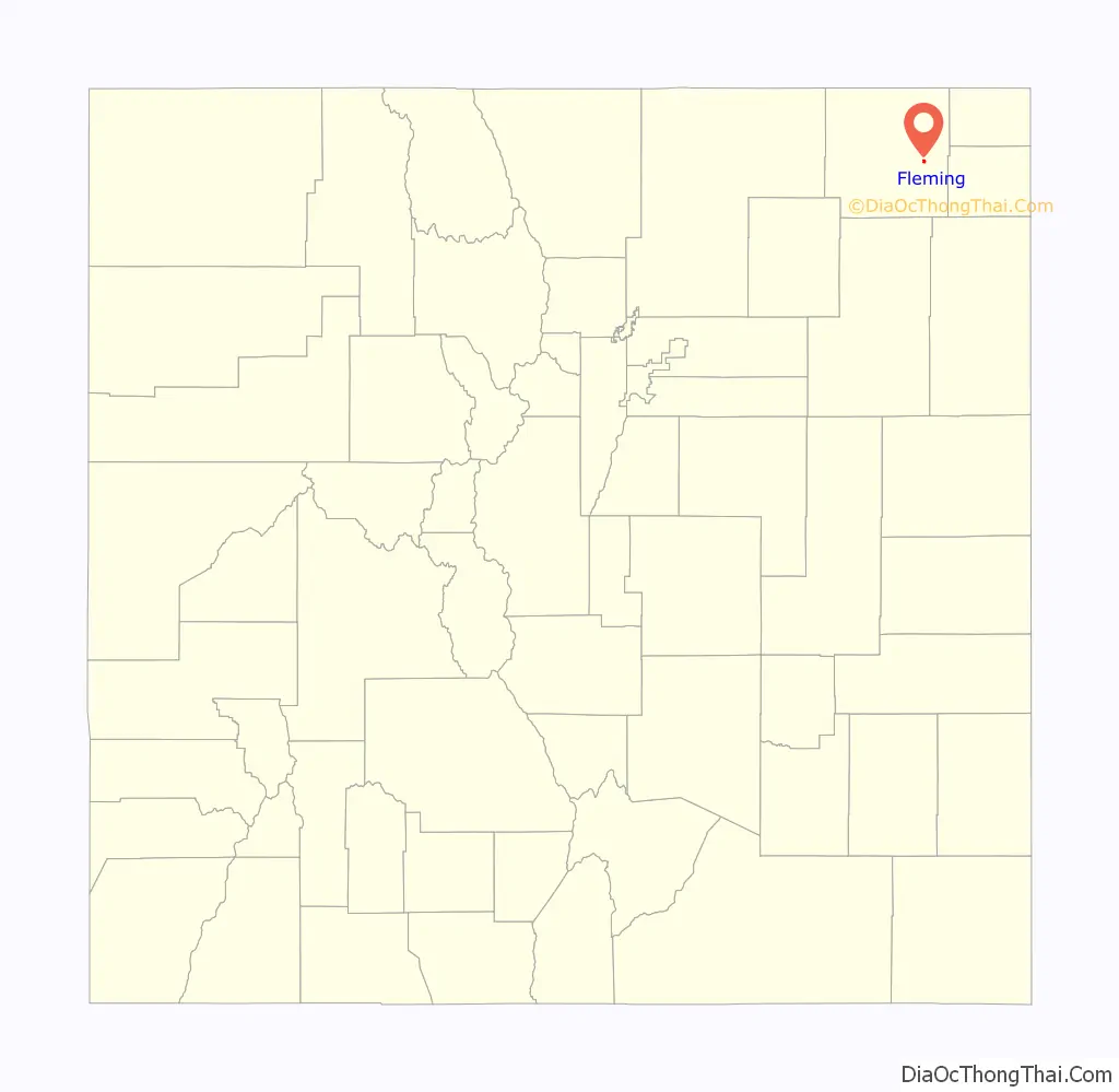
Fleming location map. Where is Fleming town?
History
Fleming was named for Henry Bascom Fleming, a railroad official.
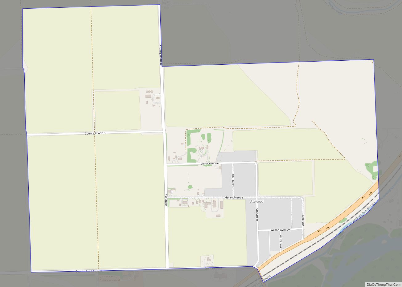
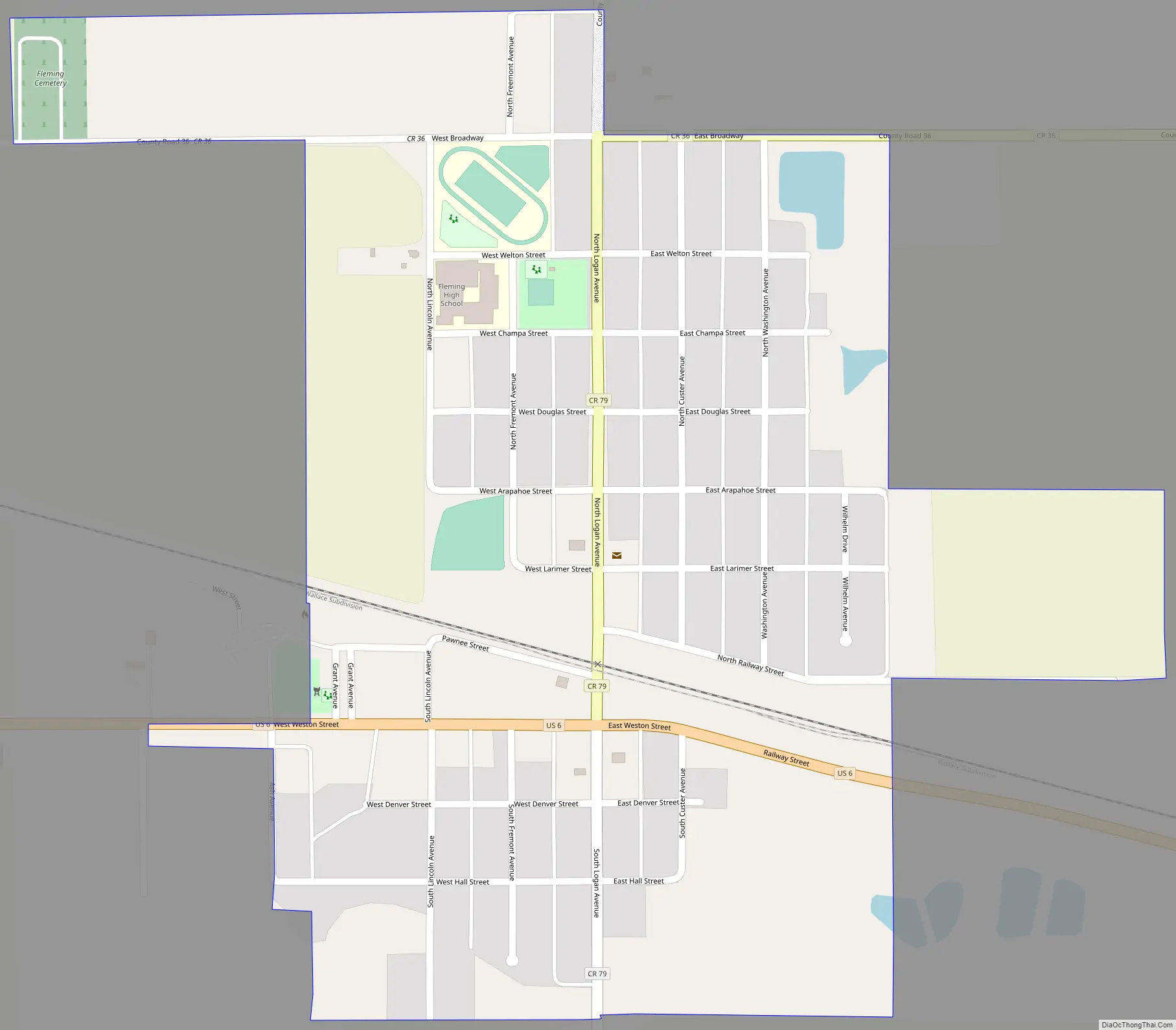
Fleming Road Map
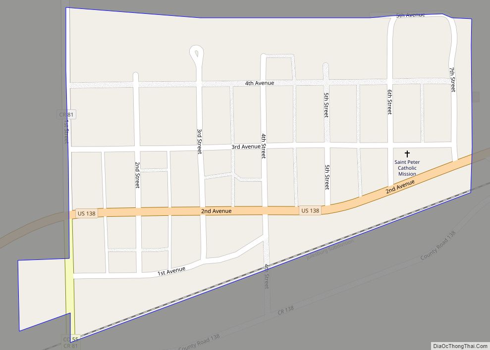
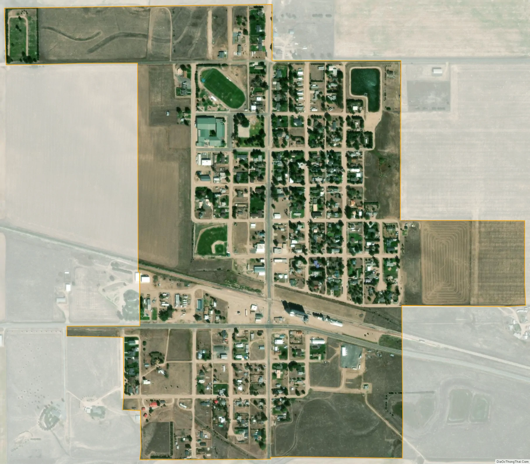
Fleming city Satellite Map
Geography
Fleming is located at 40°40′58″N 102°50′24″W / 40.68278°N 102.84000°W / 40.68278; -102.84000 (40.682874, -102.839871).
At the 2020 United States Census, the town had a total area of 313 acres (1.267 km), all of it land.
Climate
According to the Köppen Climate Classification system, Fleming has a semi-arid climate, abbreviated “BSk” on climate maps.
See also
Map of Colorado State and its subdivision:- Adams
- Alamosa
- Arapahoe
- Archuleta
- Baca
- Bent
- Boulder
- Broomfield
- Chaffee
- Cheyenne
- Clear Creek
- Conejos
- Costilla
- Crowley
- Custer
- Delta
- Denver
- Dolores
- Douglas
- Eagle
- El Paso
- Elbert
- Fremont
- Garfield
- Gilpin
- Grand
- Gunnison
- Hinsdale
- Huerfano
- Jackson
- Jefferson
- Kiowa
- Kit Carson
- La Plata
- Lake
- Larimer
- Las Animas
- Lincoln
- Logan
- Mesa
- Mineral
- Moffat
- Montezuma
- Montrose
- Morgan
- Otero
- Ouray
- Park
- Phillips
- Pitkin
- Prowers
- Pueblo
- Rio Blanco
- Rio Grande
- Routt
- Saguache
- San Juan
- San Miguel
- Sedgwick
- Summit
- Teller
- Washington
- Weld
- Yuma
- Alabama
- Alaska
- Arizona
- Arkansas
- California
- Colorado
- Connecticut
- Delaware
- District of Columbia
- Florida
- Georgia
- Hawaii
- Idaho
- Illinois
- Indiana
- Iowa
- Kansas
- Kentucky
- Louisiana
- Maine
- Maryland
- Massachusetts
- Michigan
- Minnesota
- Mississippi
- Missouri
- Montana
- Nebraska
- Nevada
- New Hampshire
- New Jersey
- New Mexico
- New York
- North Carolina
- North Dakota
- Ohio
- Oklahoma
- Oregon
- Pennsylvania
- Rhode Island
- South Carolina
- South Dakota
- Tennessee
- Texas
- Utah
- Vermont
- Virginia
- Washington
- West Virginia
- Wisconsin
- Wyoming