Fort Morgan is the home rule municipality city that is the county seat and the most populous municipality of Morgan County, Colorado, United States. The city population was 11,597 at the 2020 United States Census. Fort Morgan is the principal city of the Fort Morgan, CO Micropolitan Statistical Area.
| Name: | Fort Morgan city |
|---|---|
| LSAD Code: | 25 |
| LSAD Description: | city (suffix) |
| State: | Colorado |
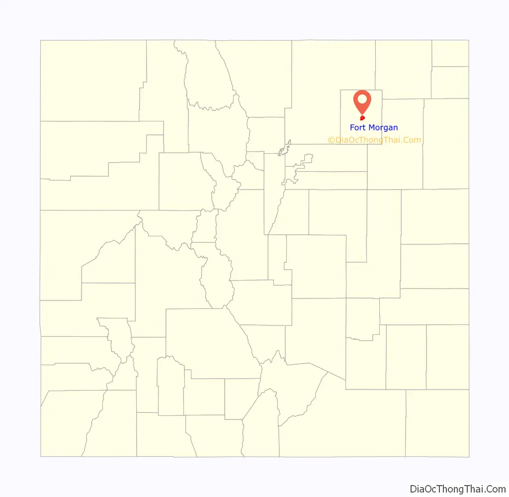
| County: | Morgan County |
| Incorporated: | June 15, 1887 |
| Elevation: | 4,324 ft (1,297 m) |
| Total Area: | 5.403 sq mi (13.993 km²) |
| Land Area: | 5.334 sq mi (13.815 km²) |
| Water Area: | 0.069 sq mi (0.178 km²) |
| Total Population: | 11,597 |
| Population Density: | 2,174/sq mi (839/km²) |
| ZIP code: | 80701 & 80705 |
| Area code: | 970 |
| FIPS code: | 0827810 |
| GNISfeature ID: | 0204722 |
| Website: | www.cityoffortmorgan.com |
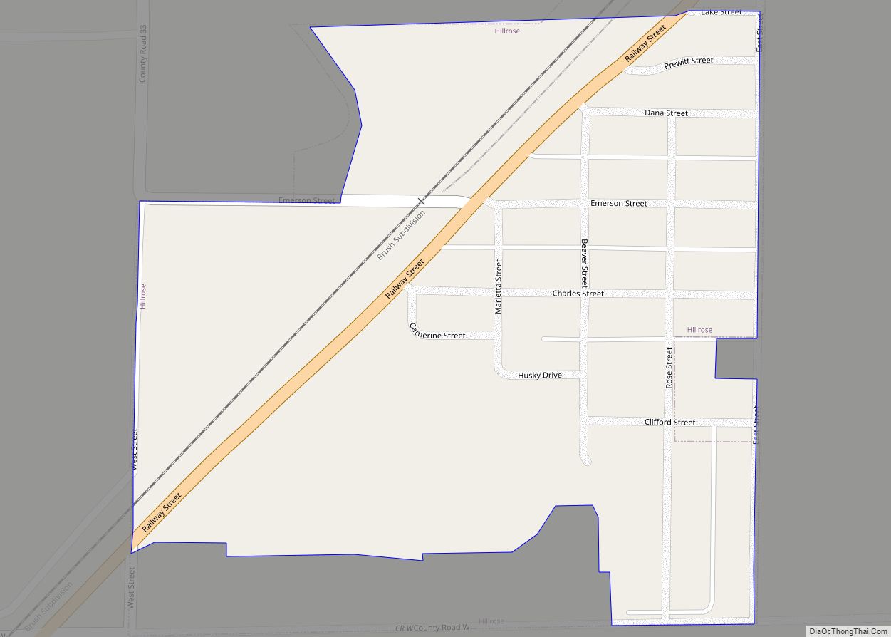
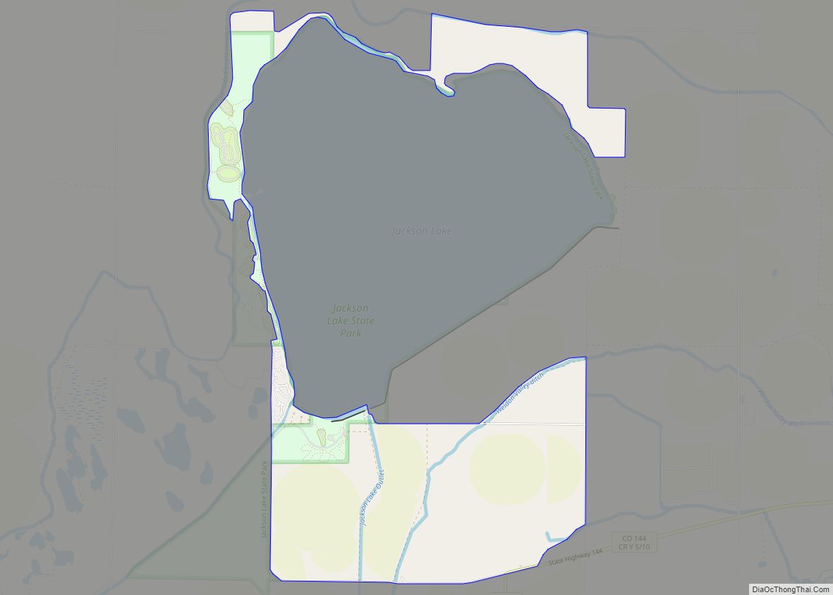
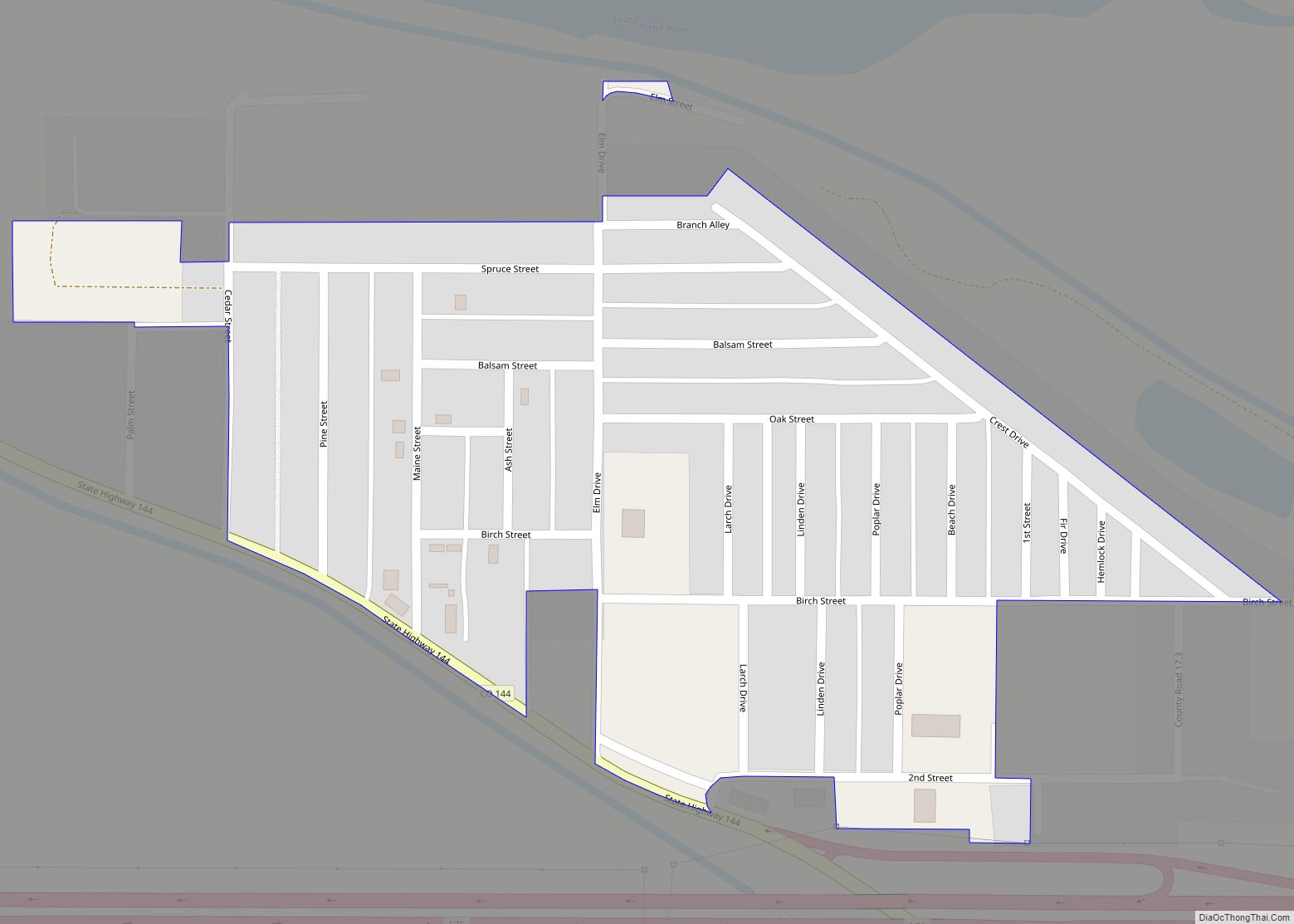
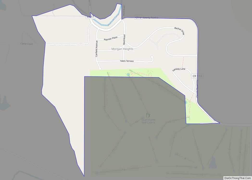
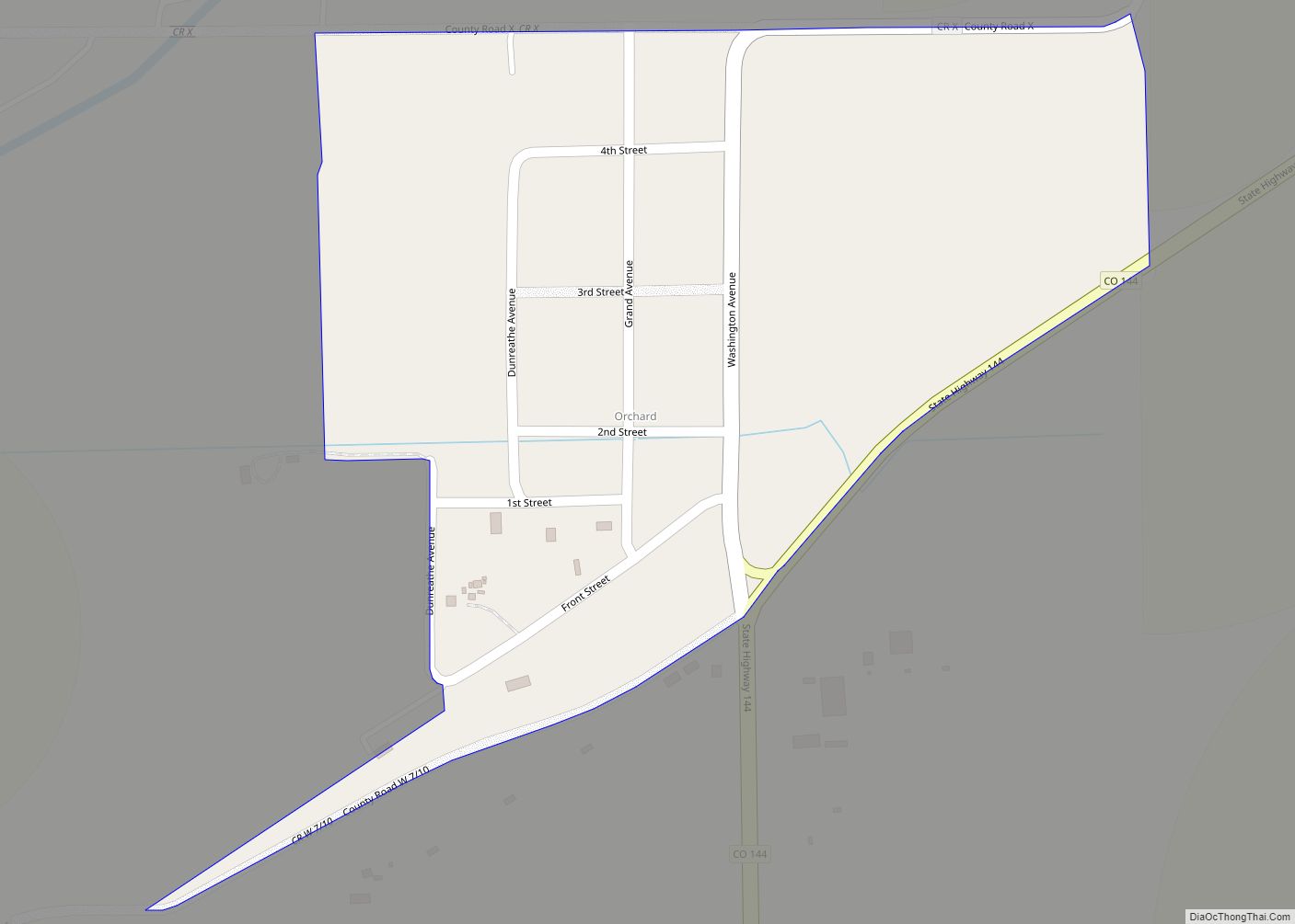
Online Interactive Map
Click on ![]() to view map in "full screen" mode.
to view map in "full screen" mode.
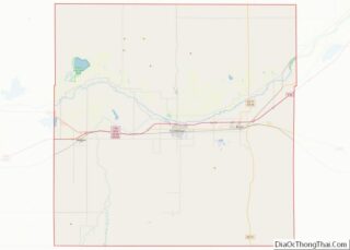
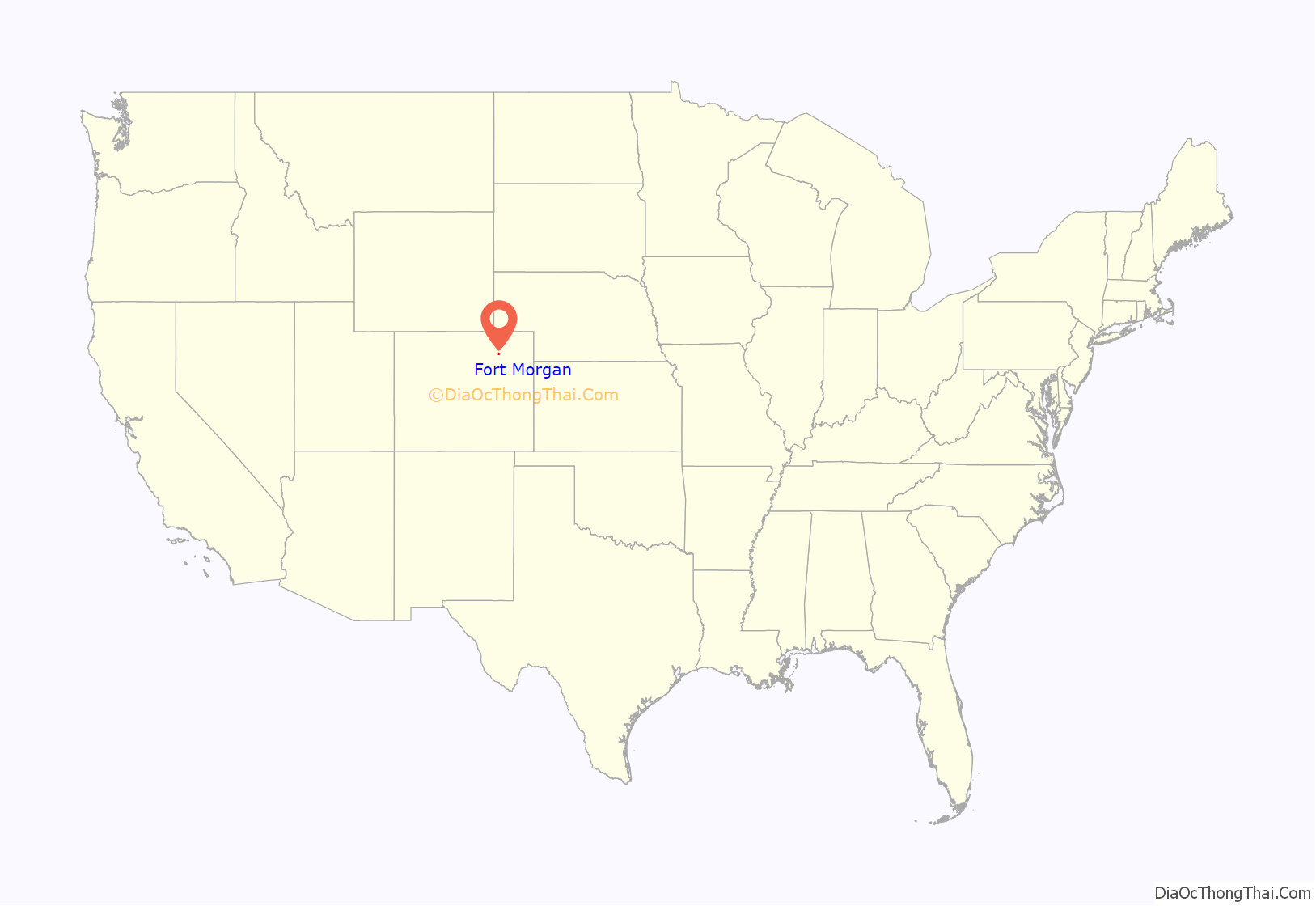
Fort Morgan location map. Where is Fort Morgan city?
History
Fort Morgan
Camp Wardwell was established in 1865 along the Overland Trail to protect emigrants and supplies going to and from Denver and the mining districts. The fort was renamed in 1866 by General John Pope for one of his staff, Colonel Christopher A. Morgan, who had died earlier that year. The fort closed in 1868 after being used by 19 different companies from 11 cavalry and infantry regiments (about 1,300 soldiers).
Town
The town of Fort Morgan was platted just south of the old military fort’s ruins on May 1, 1884, by Abner S. Baker, a member of Greeley’s Union Colony. The town became the county seat of the newly formed Morgan County on February 19, 1889.
In World War II, a military school at the Fort Morgan State Armory was part of the West Coast Air Corps Training Center.
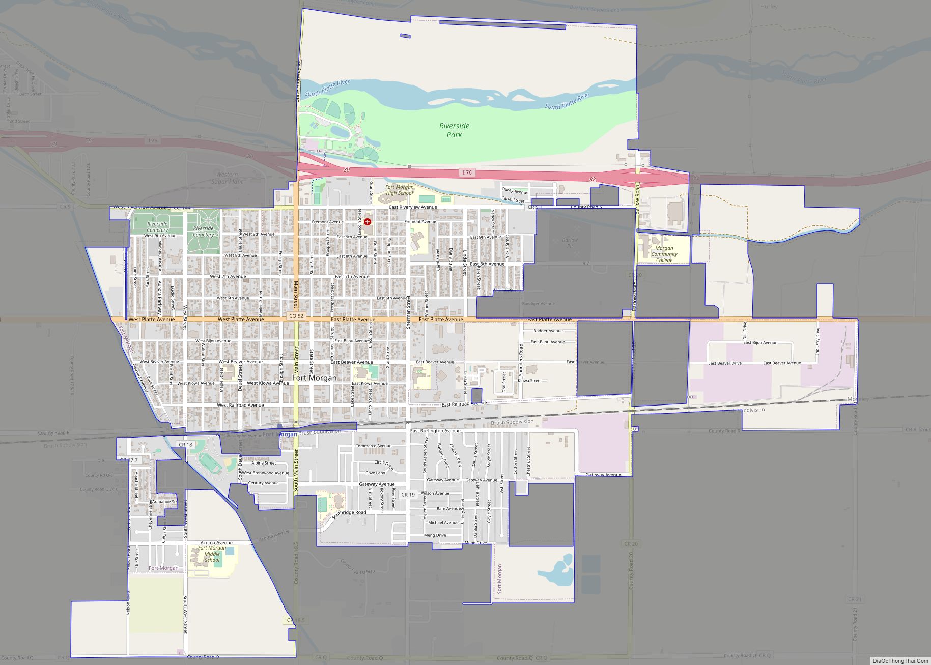
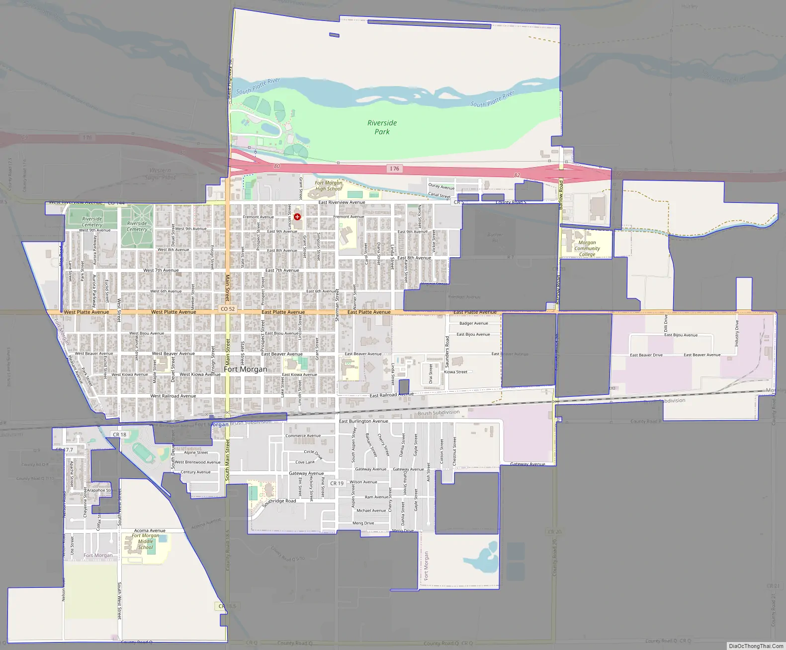
Fort Morgan Road Map
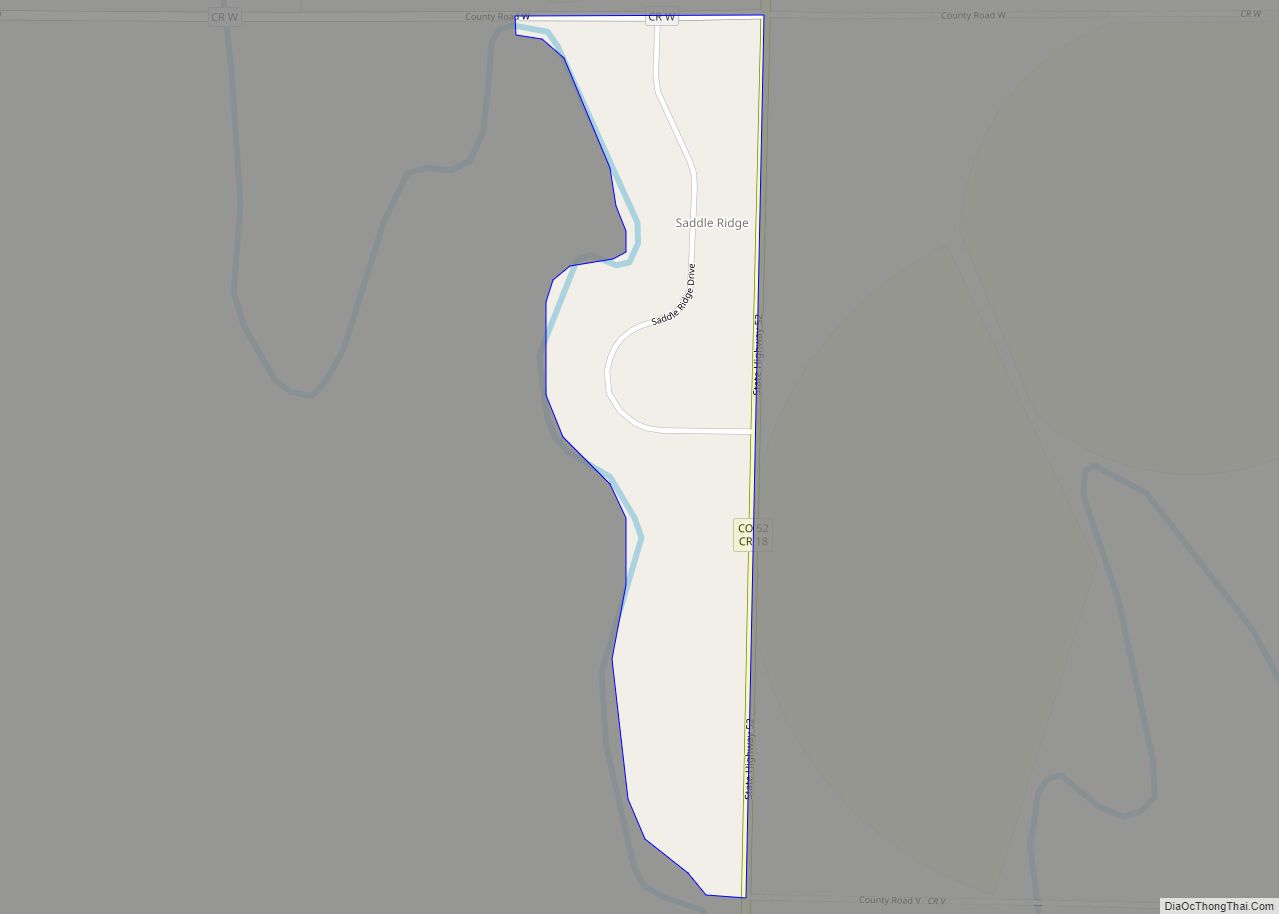
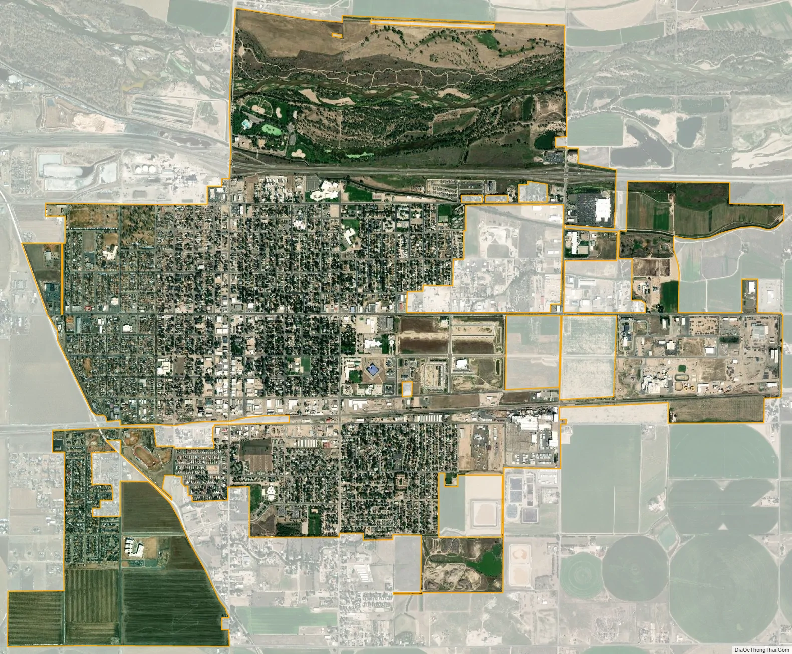
Fort Morgan city Satellite Map
Geography
Fort Morgan is located at 40°15′12″N 103°47′57″W / 40.25333°N 103.79917°W / 40.25333; -103.79917 in Morgan County, Colorado at an elevation of 4,324 feet (1,318 m).
At the 2020 United States Census, the town had a total area of 3,458 acres (13.993 km) including 44 acres (0.178 km) of water.
Climate
Fort Morgan exhibits a semi-arid climate (Köppen: BSk)
See also
Map of Colorado State and its subdivision:- Adams
- Alamosa
- Arapahoe
- Archuleta
- Baca
- Bent
- Boulder
- Broomfield
- Chaffee
- Cheyenne
- Clear Creek
- Conejos
- Costilla
- Crowley
- Custer
- Delta
- Denver
- Dolores
- Douglas
- Eagle
- El Paso
- Elbert
- Fremont
- Garfield
- Gilpin
- Grand
- Gunnison
- Hinsdale
- Huerfano
- Jackson
- Jefferson
- Kiowa
- Kit Carson
- La Plata
- Lake
- Larimer
- Las Animas
- Lincoln
- Logan
- Mesa
- Mineral
- Moffat
- Montezuma
- Montrose
- Morgan
- Otero
- Ouray
- Park
- Phillips
- Pitkin
- Prowers
- Pueblo
- Rio Blanco
- Rio Grande
- Routt
- Saguache
- San Juan
- San Miguel
- Sedgwick
- Summit
- Teller
- Washington
- Weld
- Yuma
- Alabama
- Alaska
- Arizona
- Arkansas
- California
- Colorado
- Connecticut
- Delaware
- District of Columbia
- Florida
- Georgia
- Hawaii
- Idaho
- Illinois
- Indiana
- Iowa
- Kansas
- Kentucky
- Louisiana
- Maine
- Maryland
- Massachusetts
- Michigan
- Minnesota
- Mississippi
- Missouri
- Montana
- Nebraska
- Nevada
- New Hampshire
- New Jersey
- New Mexico
- New York
- North Carolina
- North Dakota
- Ohio
- Oklahoma
- Oregon
- Pennsylvania
- Rhode Island
- South Carolina
- South Dakota
- Tennessee
- Texas
- Utah
- Vermont
- Virginia
- Washington
- West Virginia
- Wisconsin
- Wyoming