The Town of Fowler is a statutory town located in northwestern Otero County, Colorado, United States. The town population was 1,253 at the 2020 United States Census.
| Name: | Fowler town |
|---|---|
| LSAD Code: | 43 |
| LSAD Description: | town (suffix) |
| State: | Colorado |
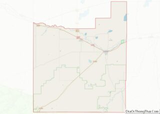
| County: | Otero County |
| Elevation: | 4,340 ft (1,322 m) |
| Total Area: | 0.563 sq mi (1.458 km²) |
| Land Area: | 0.000 sq mi (0.000 km²) |
| Water Area: | 0.559 sq mi (1.448 km²) |
| Total Population: | 1,253 |
| Population Density: | 2,241/sq mi (865/km²) |
| ZIP code: | 81039 |
| Area code: | 719 |
| FIPS code: | 0827975 |
| GNISfeature ID: | 0204802 |
| Website: | www.fowlercolorado.com |
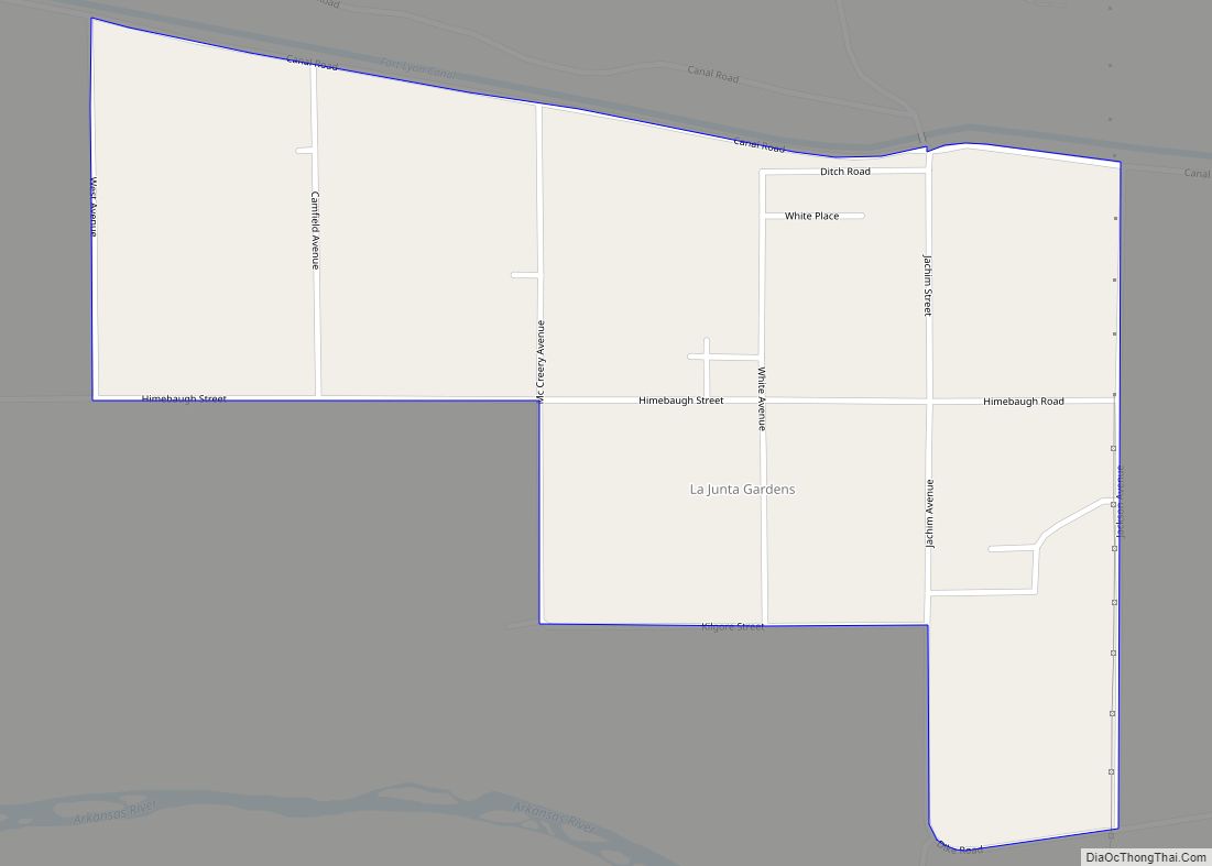
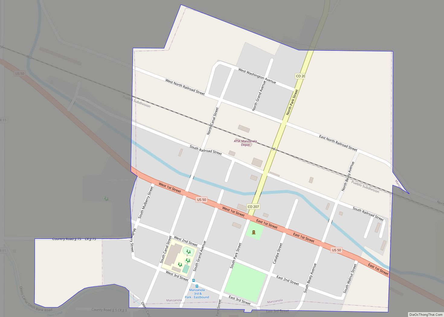
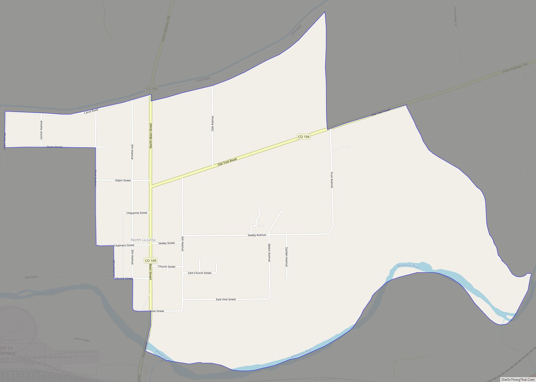
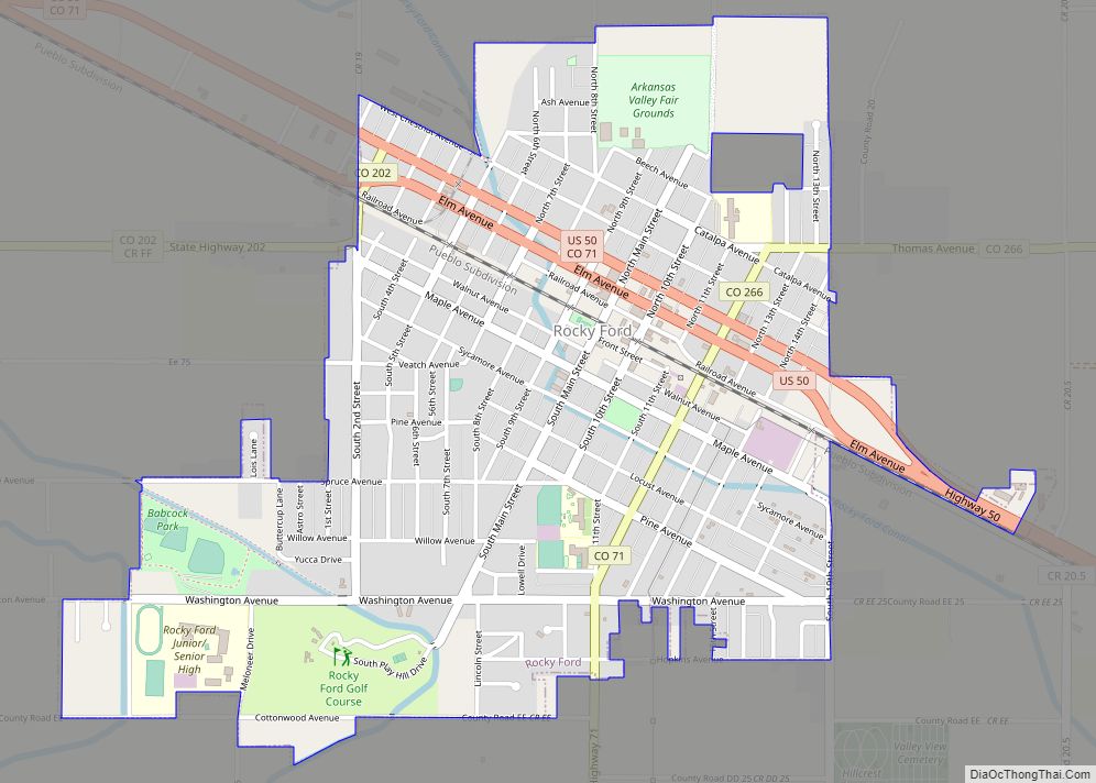
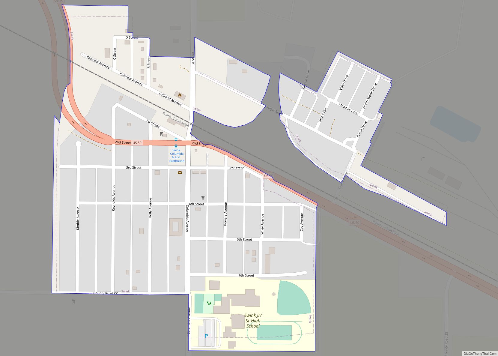
Online Interactive Map
Click on ![]() to view map in "full screen" mode.
to view map in "full screen" mode.
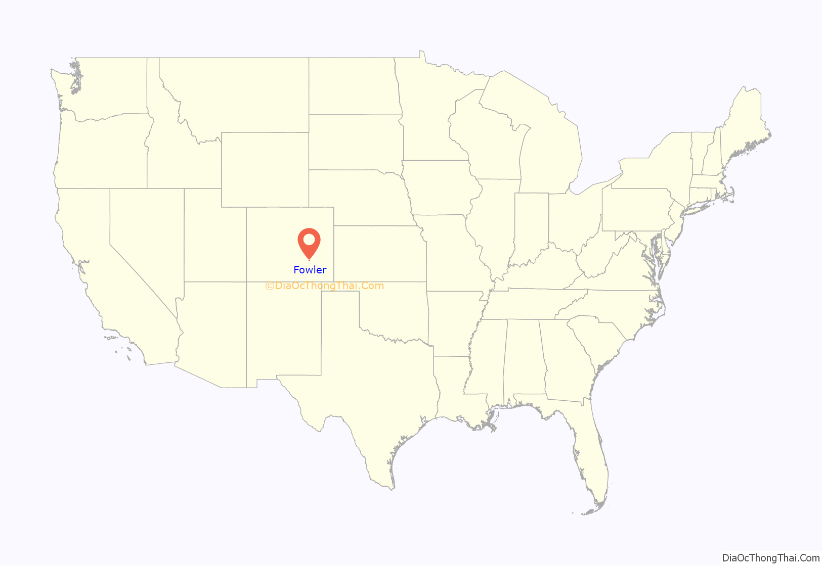
Fowler location map. Where is Fowler town?
History
Fowler was named for Orson Squire Fowler, a phrenologist who founded the town. The town was incorporated in 1925.
The town was built as a small railroad station for the Atchison, Topeka and Santa Fe Railway. The town was originally named Oxford, for a large ox that was killed when crossing the railroad tracks. The name of the town was changed because there was another town named Oxford located on the rail line.
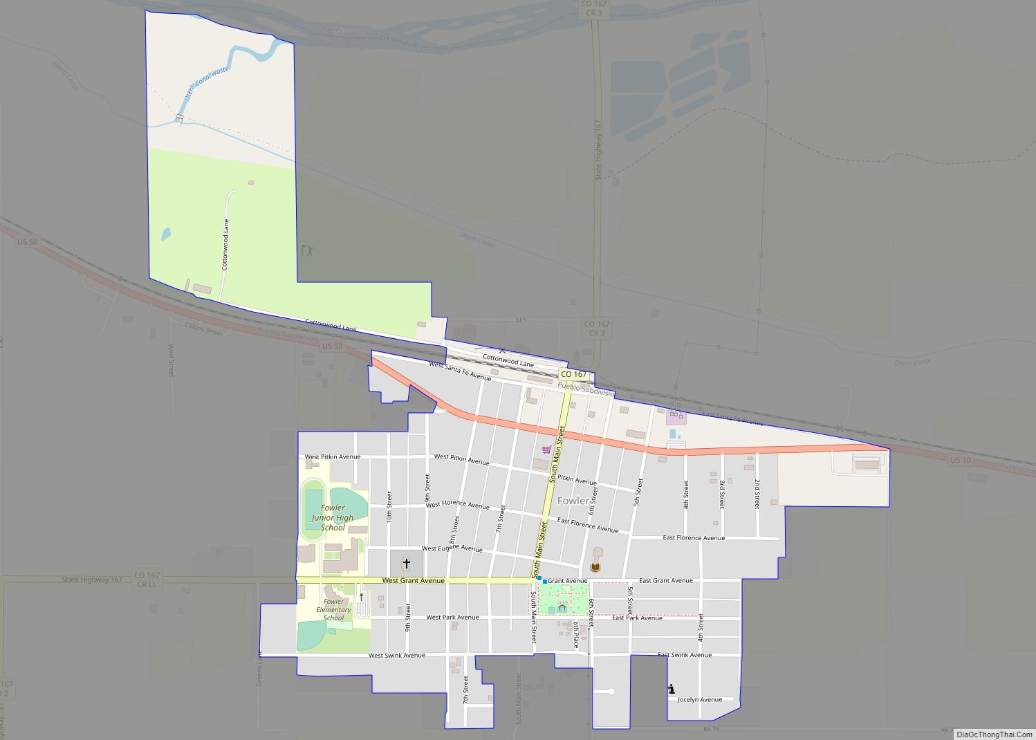
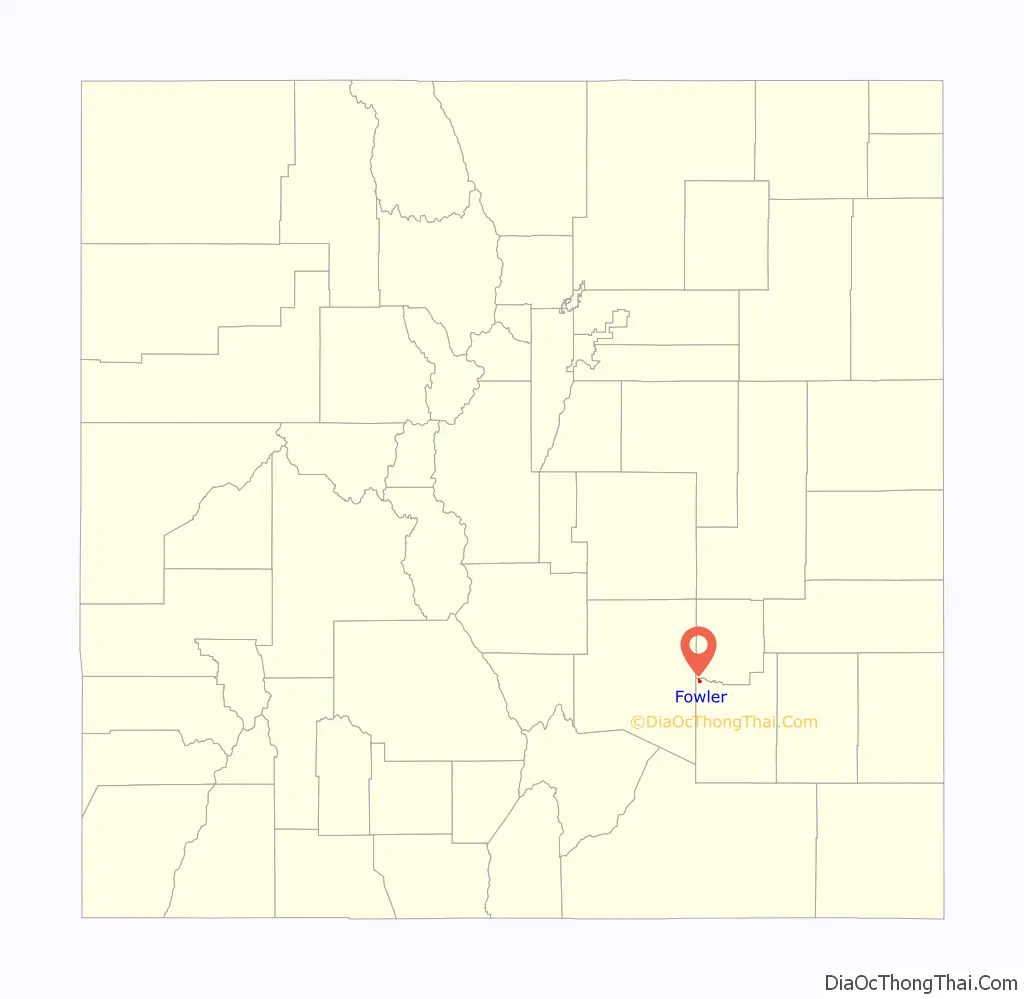
Fowler Road Map
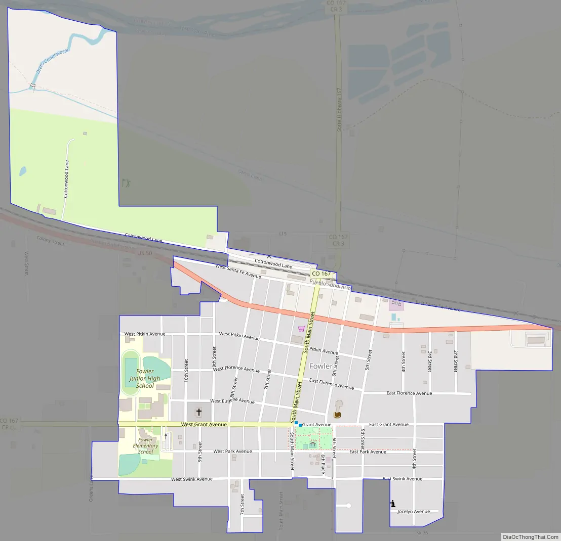
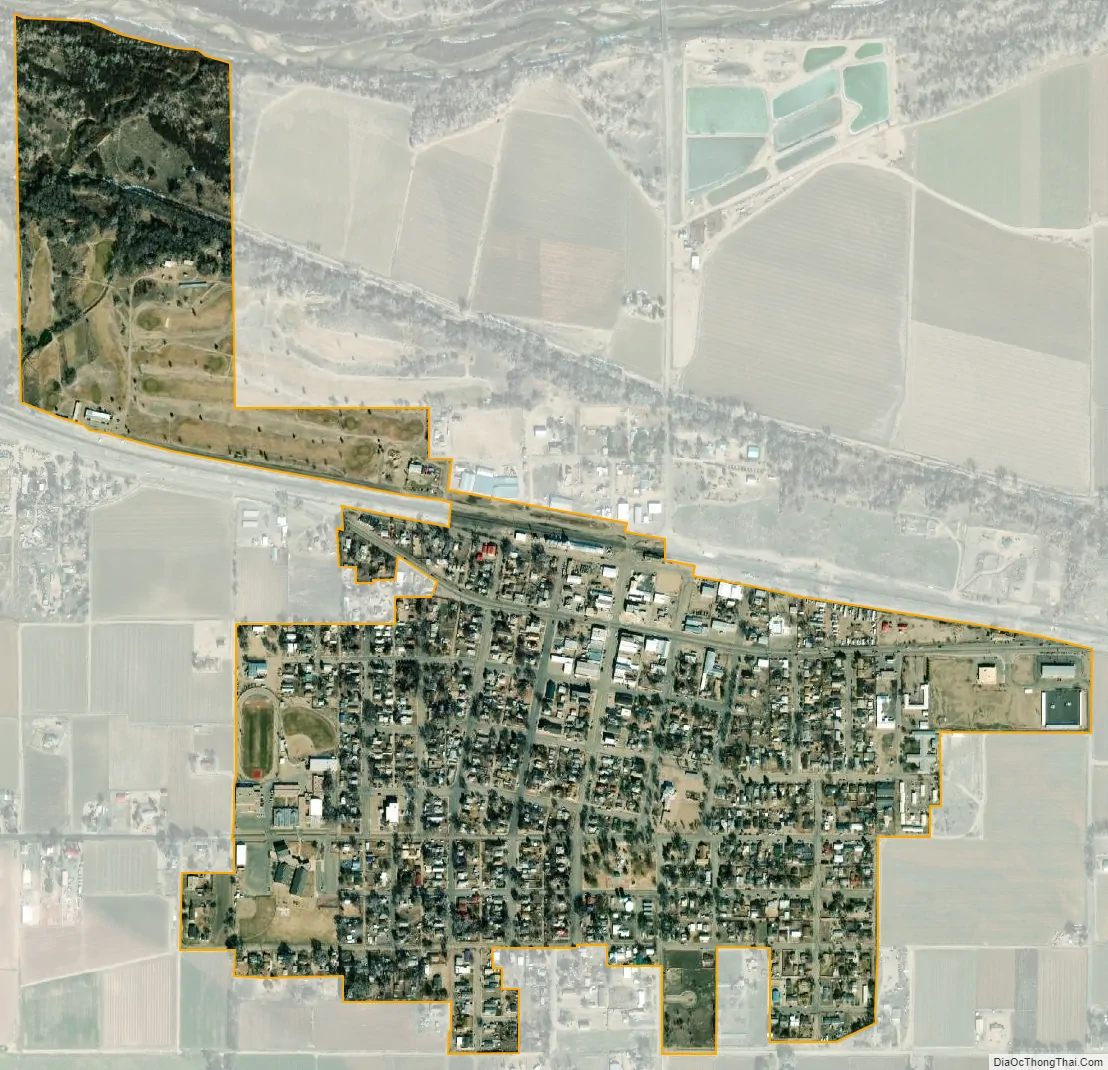
Fowler city Satellite Map
Geography
Fowler is located at 38°7′42″N 104°1′30″W / 38.12833°N 104.02500°W / 38.12833; -104.02500 (38.128343, -104.025007).
At the 2020 United States Census, the town had a total area of 360 acres (1.458 km), including 2.5 acres (0.010 km) of water.
See also
Map of Colorado State and its subdivision:- Adams
- Alamosa
- Arapahoe
- Archuleta
- Baca
- Bent
- Boulder
- Broomfield
- Chaffee
- Cheyenne
- Clear Creek
- Conejos
- Costilla
- Crowley
- Custer
- Delta
- Denver
- Dolores
- Douglas
- Eagle
- El Paso
- Elbert
- Fremont
- Garfield
- Gilpin
- Grand
- Gunnison
- Hinsdale
- Huerfano
- Jackson
- Jefferson
- Kiowa
- Kit Carson
- La Plata
- Lake
- Larimer
- Las Animas
- Lincoln
- Logan
- Mesa
- Mineral
- Moffat
- Montezuma
- Montrose
- Morgan
- Otero
- Ouray
- Park
- Phillips
- Pitkin
- Prowers
- Pueblo
- Rio Blanco
- Rio Grande
- Routt
- Saguache
- San Juan
- San Miguel
- Sedgwick
- Summit
- Teller
- Washington
- Weld
- Yuma
- Alabama
- Alaska
- Arizona
- Arkansas
- California
- Colorado
- Connecticut
- Delaware
- District of Columbia
- Florida
- Georgia
- Hawaii
- Idaho
- Illinois
- Indiana
- Iowa
- Kansas
- Kentucky
- Louisiana
- Maine
- Maryland
- Massachusetts
- Michigan
- Minnesota
- Mississippi
- Missouri
- Montana
- Nebraska
- Nevada
- New Hampshire
- New Jersey
- New Mexico
- New York
- North Carolina
- North Dakota
- Ohio
- Oklahoma
- Oregon
- Pennsylvania
- Rhode Island
- South Carolina
- South Dakota
- Tennessee
- Texas
- Utah
- Vermont
- Virginia
- Washington
- West Virginia
- Wisconsin
- Wyoming