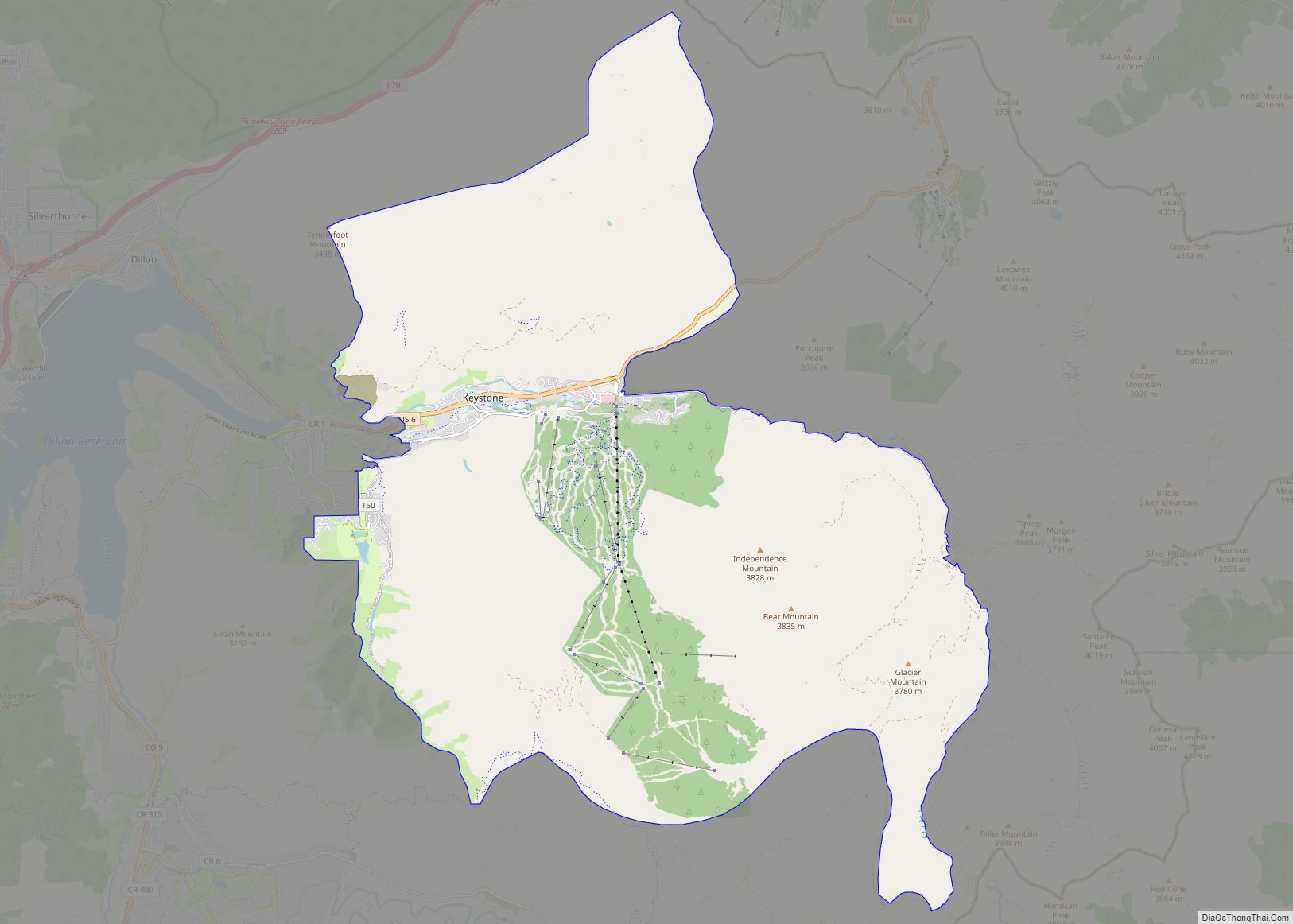
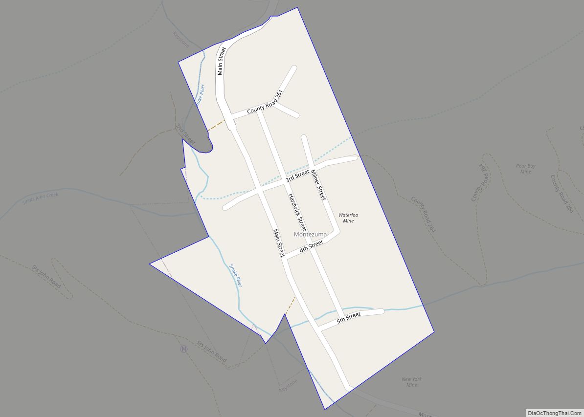
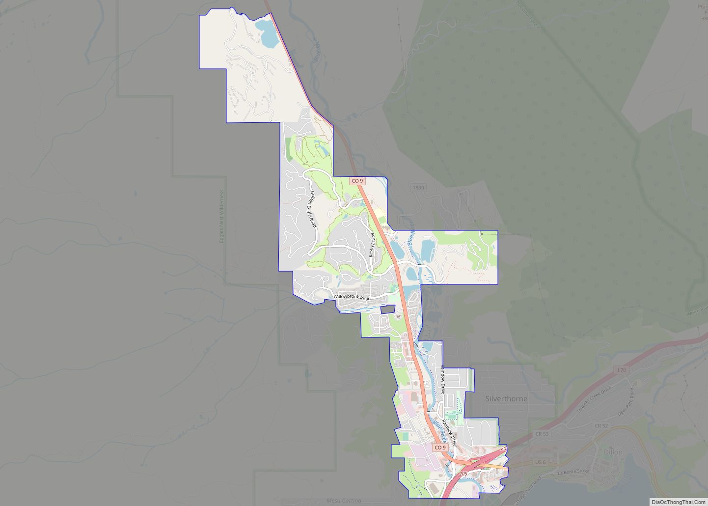
Frisco is a home rule municipality located in Summit County, Colorado, United States. The town population was 2,913 at the 2020 United States Census. Frisco is a part of the Breckenridge, CO Micropolitan Statistical Area. It is a popular town among skiers from around the world. Four major ski resorts are located in close proximity to Frisco: Copper Mountain, Breckenridge, Keystone, and Arapahoe Basin.
| Name: | Frisco town |
|---|---|
| LSAD Code: | 43 |
| LSAD Description: | town (suffix) |
| State: | Colorado |
| County: | Summit County |
| Incorporated: | December 3, 1880< |
| Elevation: | 9,097 ft (2,766 m) |
| Total Area: | 1.780 sq mi (4.609 km²) |
| Land Area: | 1.672 sq mi (4.331 km²) |
| Water Area: | 0.107 sq mi (0.278 km²) |
| Total Population: | 2,913 |
| Population Density: | 1,742/sq mi (673/km²) |
| ZIP code: | 80443 (PO Box) |
| Area code: | 970 |
| FIPS code: | 0828690 |
Online Interactive Map
Click on ![]() to view map in "full screen" mode.
to view map in "full screen" mode.
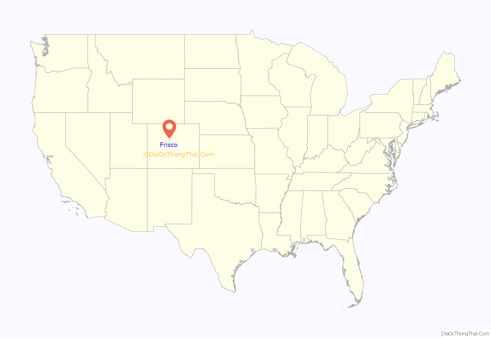
Frisco location map. Where is Frisco town?
History
Founded in 1873 (officially chartered in 1879) by Henry Recen, Frisco was built because of the Colorado Silver Boom, which began in 1879. Frisco was incorporated in 1880. The town’s name does not come from the popular nickname for the city of San Francisco, California, but is rather named after the popular Frisco Lines Railroad in hopes of it bringing the rail line to the town.
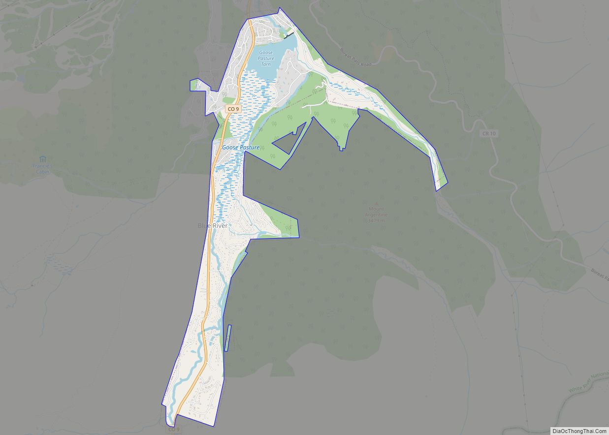
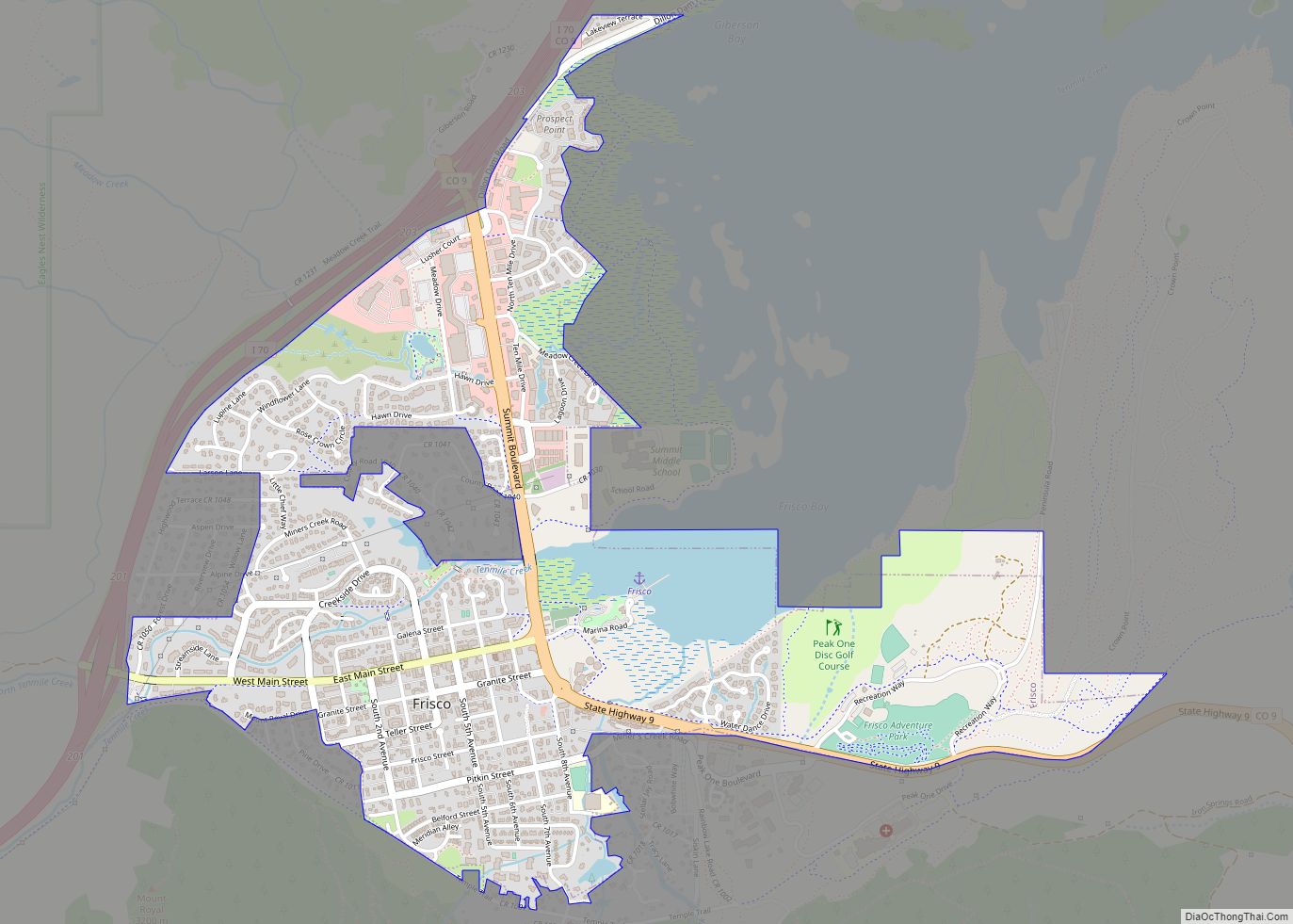
Frisco Road Map
Frisco city Satellite Map
Geography
At the 2020 United States Census, the town had a total area of 1,139 acres (4.609 km) including 69 acres (0.278 km) of water. Frisco is located along the coast Lake Dillon, a reservoir constructed between 1961 and 1963 that now covers the original town of Dillon. Across the water to the east are the new town of Dillon, Silverthorne, and Keystone. To the southeast is Breckenridge.
See also
Map of Colorado State and its subdivision:- Adams
- Alamosa
- Arapahoe
- Archuleta
- Baca
- Bent
- Boulder
- Broomfield
- Chaffee
- Cheyenne
- Clear Creek
- Conejos
- Costilla
- Crowley
- Custer
- Delta
- Denver
- Dolores
- Douglas
- Eagle
- El Paso
- Elbert
- Fremont
- Garfield
- Gilpin
- Grand
- Gunnison
- Hinsdale
- Huerfano
- Jackson
- Jefferson
- Kiowa
- Kit Carson
- La Plata
- Lake
- Larimer
- Las Animas
- Lincoln
- Logan
- Mesa
- Mineral
- Moffat
- Montezuma
- Montrose
- Morgan
- Otero
- Ouray
- Park
- Phillips
- Pitkin
- Prowers
- Pueblo
- Rio Blanco
- Rio Grande
- Routt
- Saguache
- San Juan
- San Miguel
- Sedgwick
- Summit
- Teller
- Washington
- Weld
- Yuma
- Alabama
- Alaska
- Arizona
- Arkansas
- California
- Colorado
- Connecticut
- Delaware
- District of Columbia
- Florida
- Georgia
- Hawaii
- Idaho
- Illinois
- Indiana
- Iowa
- Kansas
- Kentucky
- Louisiana
- Maine
- Maryland
- Massachusetts
- Michigan
- Minnesota
- Mississippi
- Missouri
- Montana
- Nebraska
- Nevada
- New Hampshire
- New Jersey
- New Mexico
- New York
- North Carolina
- North Dakota
- Ohio
- Oklahoma
- Oregon
- Pennsylvania
- Rhode Island
- South Carolina
- South Dakota
- Tennessee
- Texas
- Utah
- Vermont
- Virginia
- Washington
- West Virginia
- Wisconsin
- Wyoming
