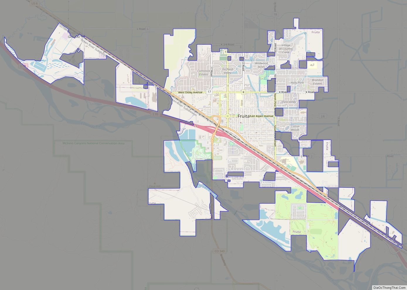
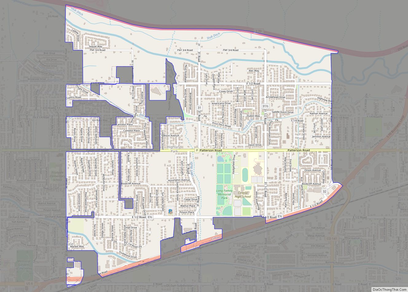
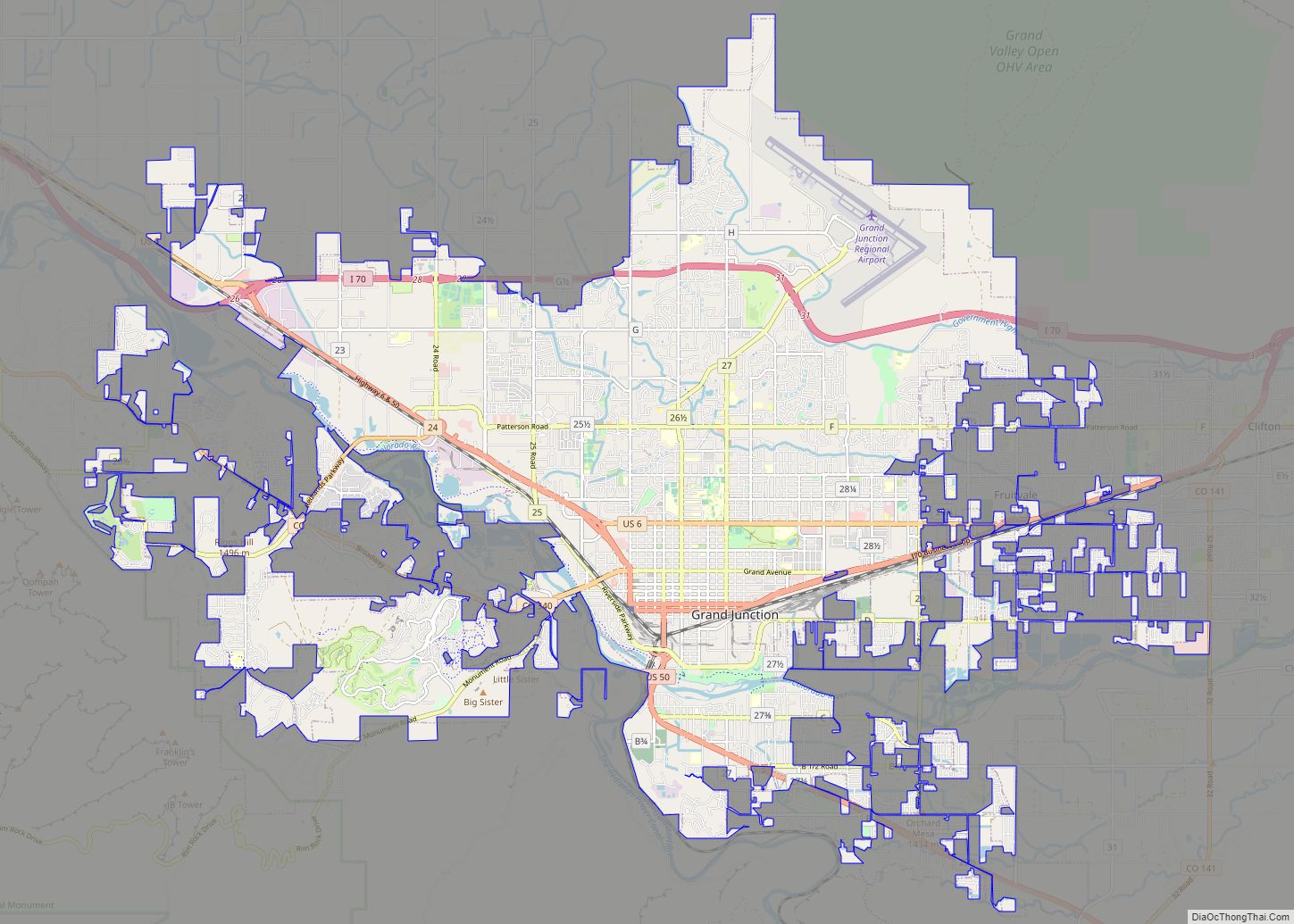
Fruitvale is a census-designated place (CDP) in and governed by Mesa County, Colorado, United States. It is part of the Grand Junction, CO Metropolitan Statistical Area. The population was 8,271 at the 2020 census, up from 7,675 in 2010. The Grand Junction post office (Zip Code 81504) serves Fruitvale postal addresses.
| Name: | Fruitvale CDP |
|---|---|
| LSAD Code: | 57 |
| LSAD Description: | CDP (suffix) |
| State: | Colorado |
| County: | Mesa County |
| Elevation: | 4,721 ft (1,439 m) |
| Total Area: | 2.895 sq mi (7.50 km²) |
| Land Area: | 2.895 sq mi (7.50 km²) |
| Water Area: | 0.0 sq mi (0 km²) |
| Total Population: | 8,271 |
| Population Density: | 2,857.0/sq mi (1,103.1/km²) |
| ZIP code: | 81504 |
| Area code: | 970 |
| FIPS code: | 0828800 |
Online Interactive Map
Click on ![]() to view map in "full screen" mode.
to view map in "full screen" mode.
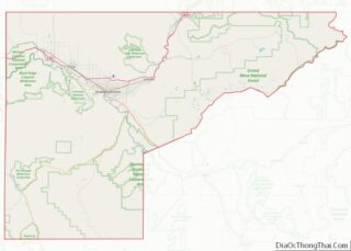
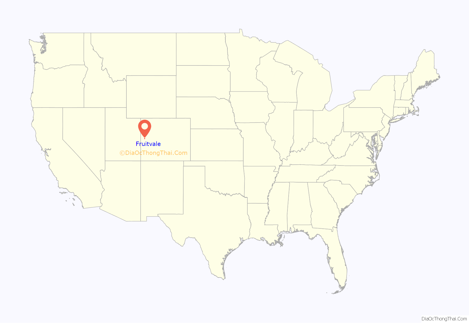
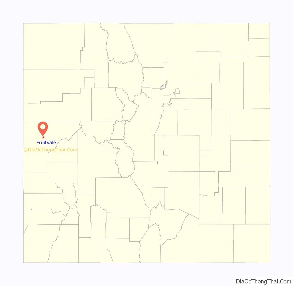
Fruitvale location map. Where is Fruitvale CDP?
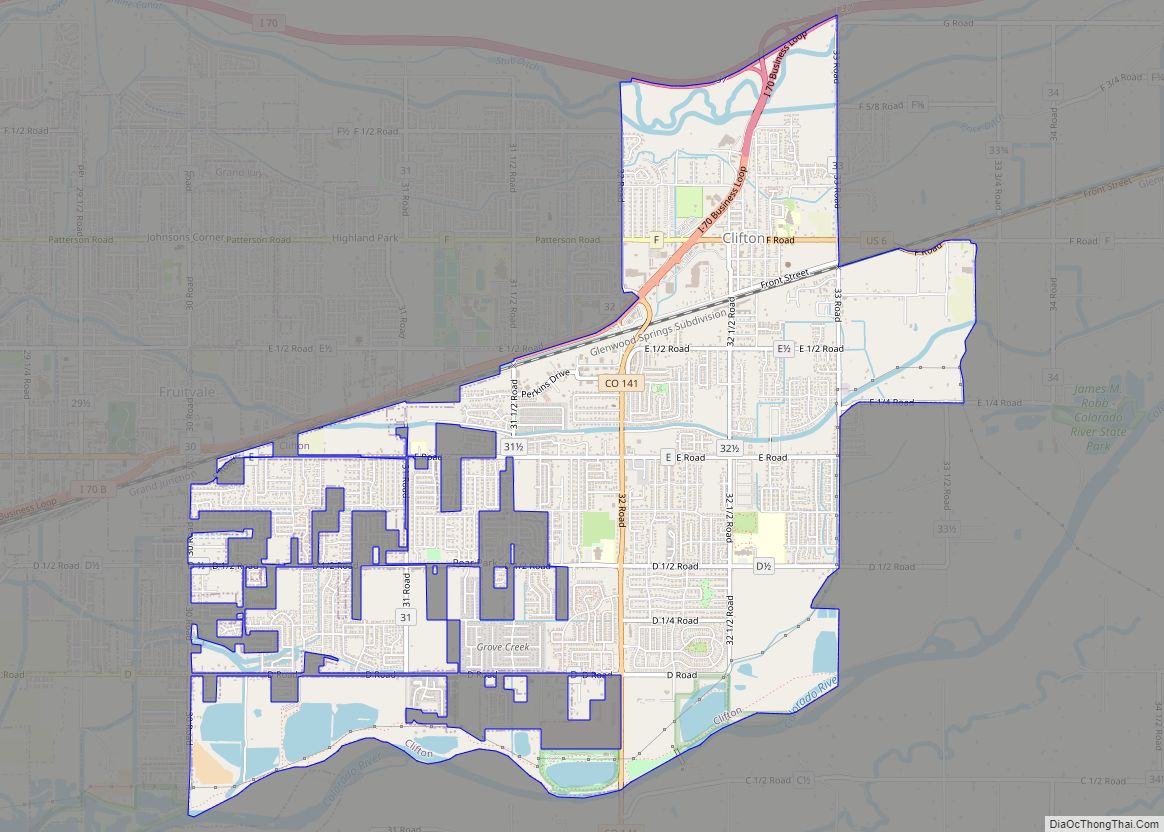
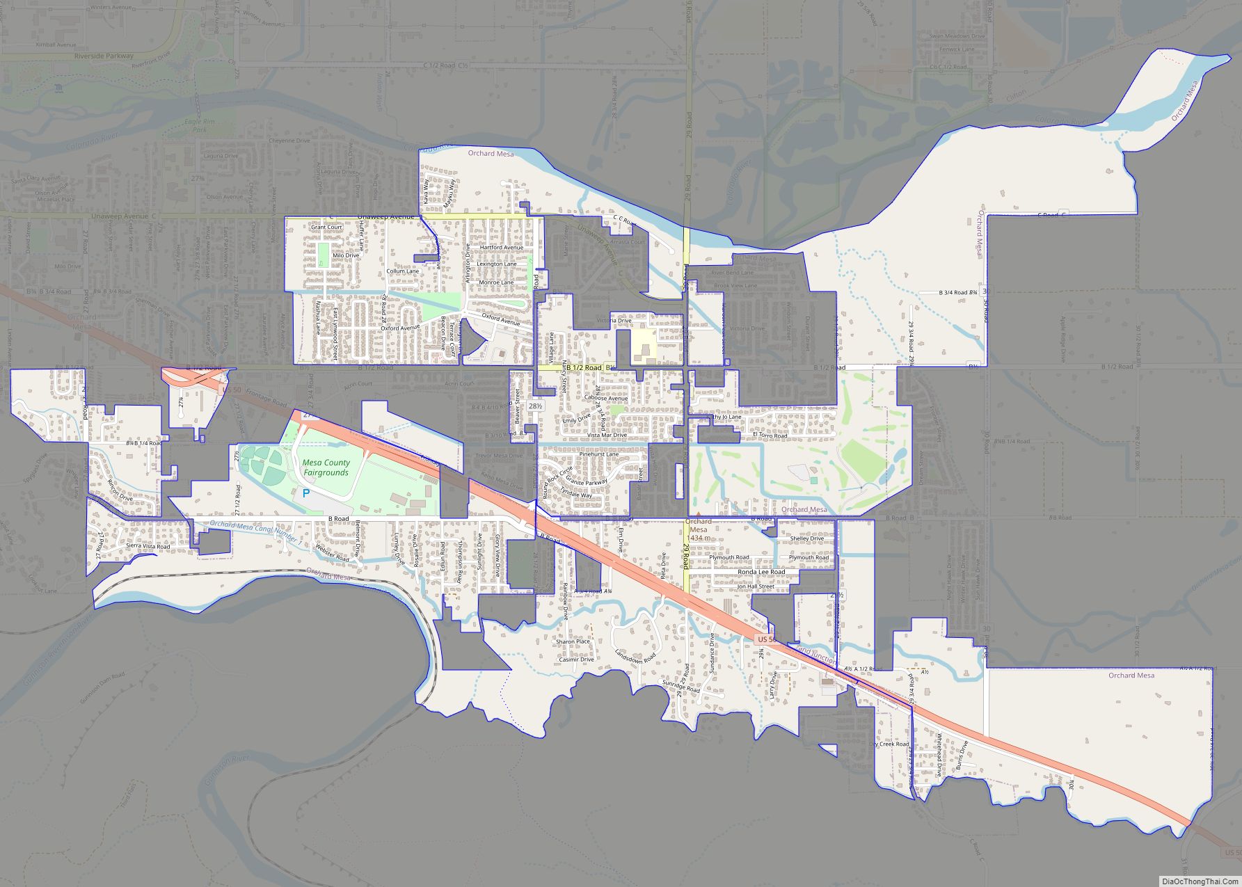
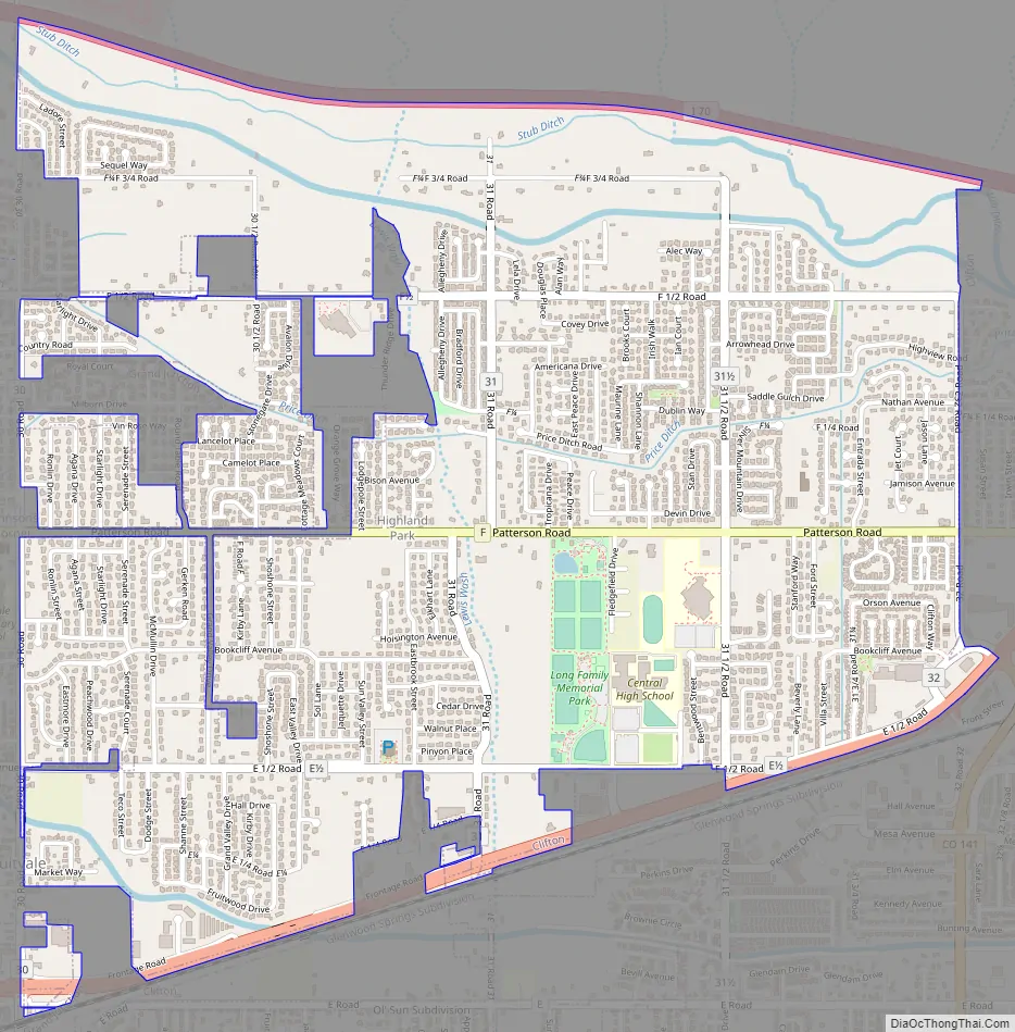
Fruitvale Road Map
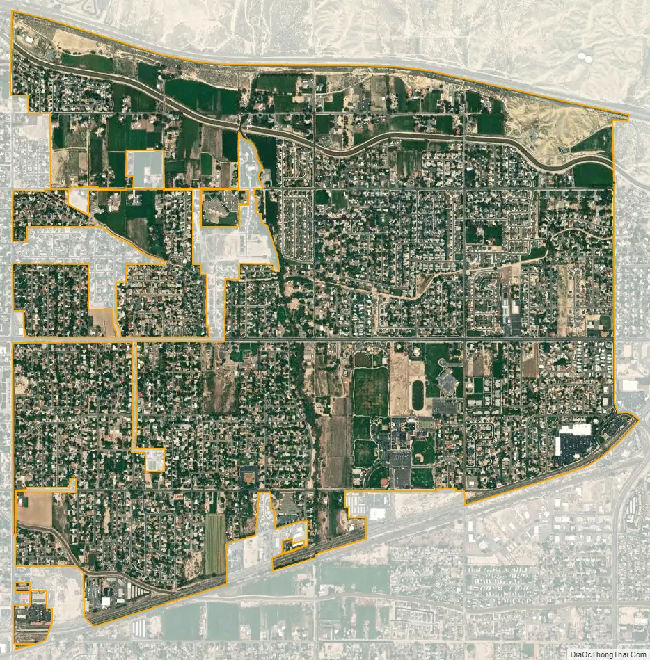
Fruitvale city Satellite Map
Geography
Fruitvale is in central Mesa County, bordered to the west by the city of Grand Junction and to the east and south by unincorporated Clifton. Interstate 70 forms the northern edge of the Fruitvale CDP, and U.S. Route 6 forms the southern edge. The CDP has an area of 2.9 square miles (7.5 km), all land.
Climate
See also
Map of Colorado State and its subdivision:- Adams
- Alamosa
- Arapahoe
- Archuleta
- Baca
- Bent
- Boulder
- Broomfield
- Chaffee
- Cheyenne
- Clear Creek
- Conejos
- Costilla
- Crowley
- Custer
- Delta
- Denver
- Dolores
- Douglas
- Eagle
- El Paso
- Elbert
- Fremont
- Garfield
- Gilpin
- Grand
- Gunnison
- Hinsdale
- Huerfano
- Jackson
- Jefferson
- Kiowa
- Kit Carson
- La Plata
- Lake
- Larimer
- Las Animas
- Lincoln
- Logan
- Mesa
- Mineral
- Moffat
- Montezuma
- Montrose
- Morgan
- Otero
- Ouray
- Park
- Phillips
- Pitkin
- Prowers
- Pueblo
- Rio Blanco
- Rio Grande
- Routt
- Saguache
- San Juan
- San Miguel
- Sedgwick
- Summit
- Teller
- Washington
- Weld
- Yuma
- Alabama
- Alaska
- Arizona
- Arkansas
- California
- Colorado
- Connecticut
- Delaware
- District of Columbia
- Florida
- Georgia
- Hawaii
- Idaho
- Illinois
- Indiana
- Iowa
- Kansas
- Kentucky
- Louisiana
- Maine
- Maryland
- Massachusetts
- Michigan
- Minnesota
- Mississippi
- Missouri
- Montana
- Nebraska
- Nevada
- New Hampshire
- New Jersey
- New Mexico
- New York
- North Carolina
- North Dakota
- Ohio
- Oklahoma
- Oregon
- Pennsylvania
- Rhode Island
- South Carolina
- South Dakota
- Tennessee
- Texas
- Utah
- Vermont
- Virginia
- Washington
- West Virginia
- Wisconsin
- Wyoming