The Town of Gypsum is the home rule municipality that is the most populous municipality in Eagle County, Colorado, United States. The town population was 8,040 at the 2020 United States Census, a +24.13% increase since the 2010 United States Census. Gypsum is a part of the Edwards, CO Micropolitan Statistical Area. Gypsum is the home of an American Gypsum drywall plant and mine.
| Name: | Gypsum town |
|---|---|
| LSAD Code: | 43 |
| LSAD Description: | town (suffix) |
| State: | Colorado |
| County: | Eagle County |
| Elevation: | 6,312 ft (1,924 m) |
| Total Area: | 8.966 sq mi (23.222 km²) |
| Land Area: | 8.851 sq mi (22.924 km²) |
| Water Area: | 0.115 sq mi (0.298 km²) |
| Total Population: | 8,040 |
| Population Density: | 908/sq mi (351/km²) |
| ZIP code: | 81637 |
| Area code: | 970 |
| FIPS code: | 0833695 |
| GNISfeature ID: | 0175853 |
| Website: | www.townofgypsum.com |
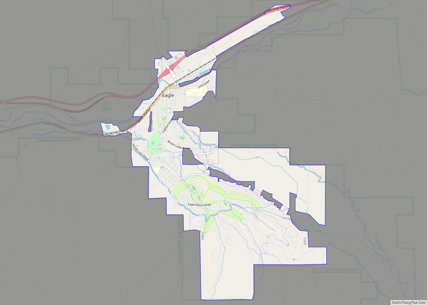
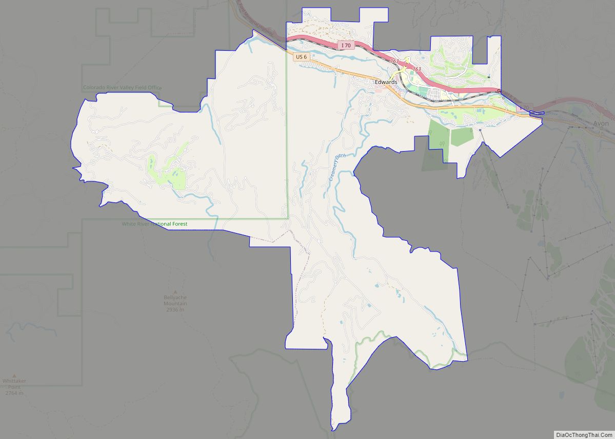
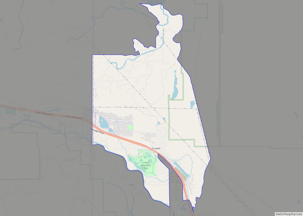
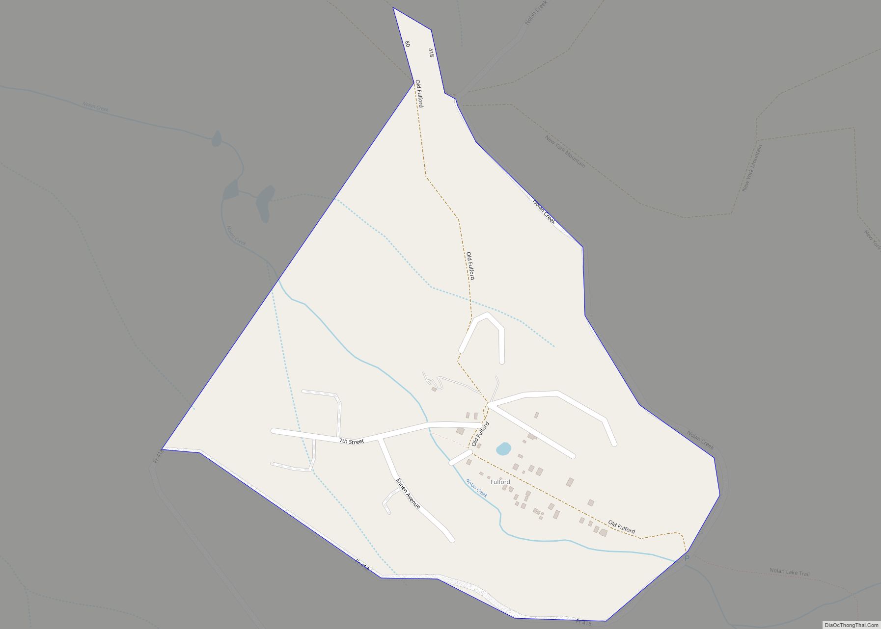
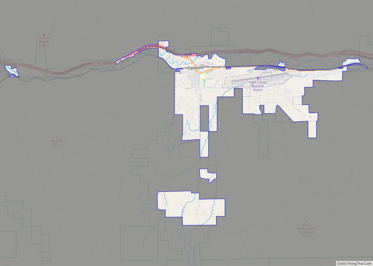
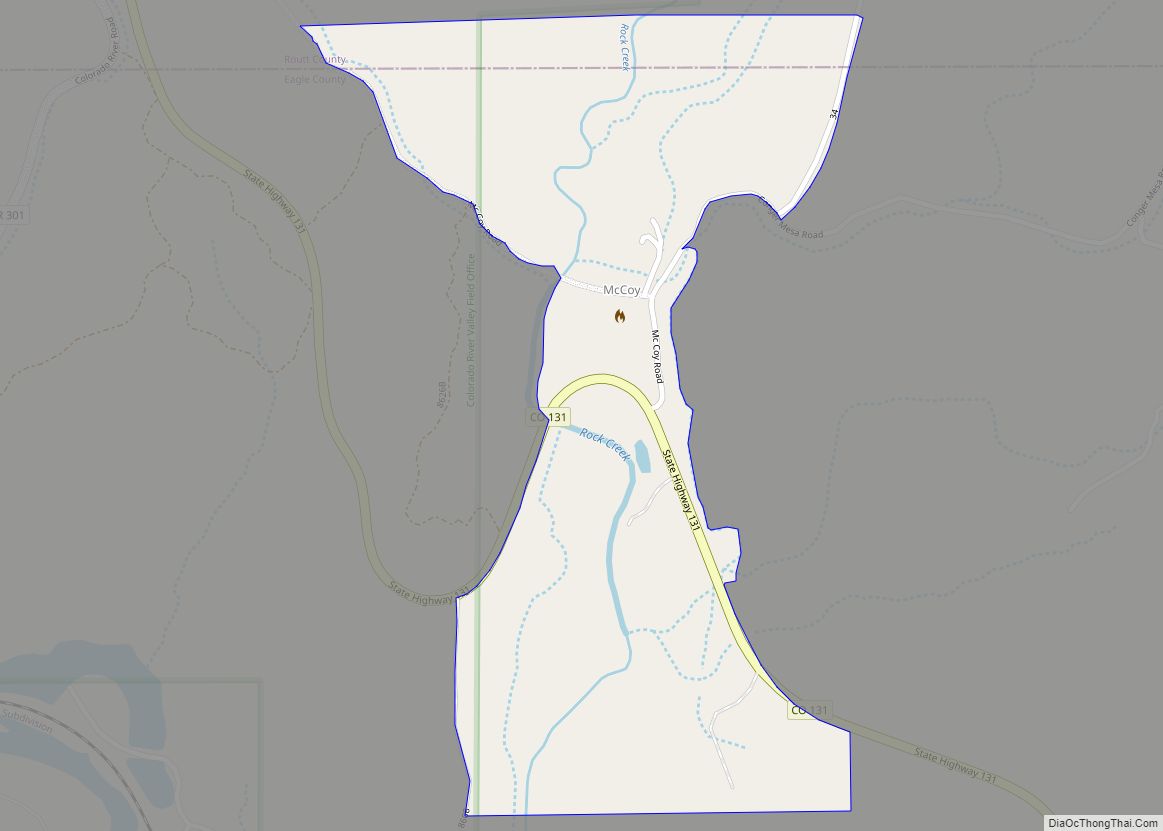
Online Interactive Map
Click on ![]() to view map in "full screen" mode.
to view map in "full screen" mode.
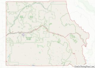
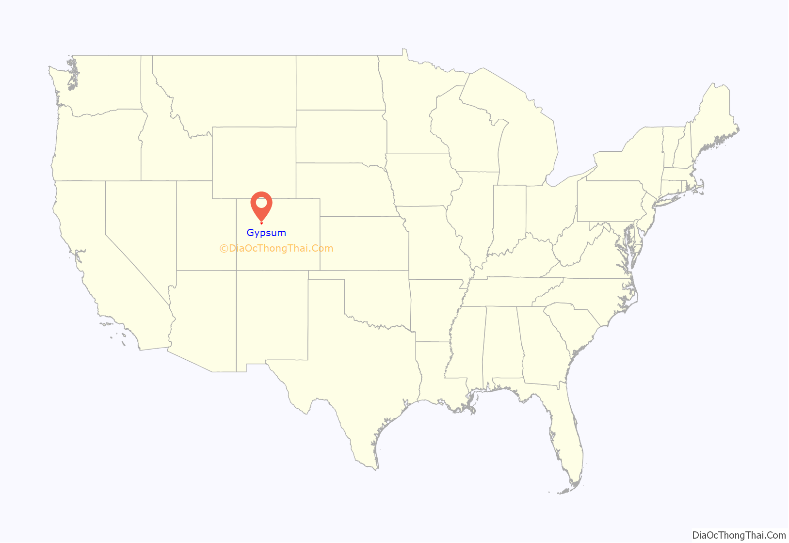
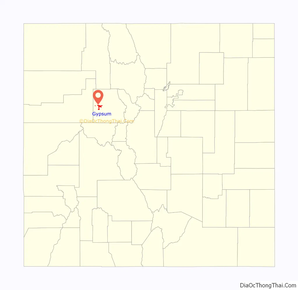
Gypsum location map. Where is Gypsum town?
History
The town was named for nearby gypsum deposits, and was incorporated in 1911.
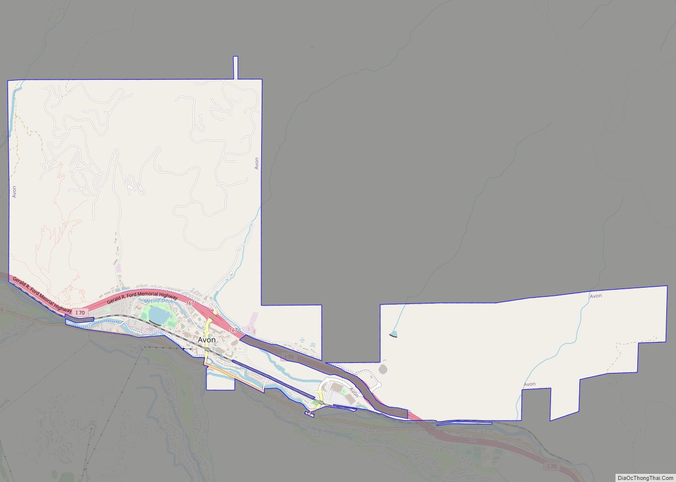
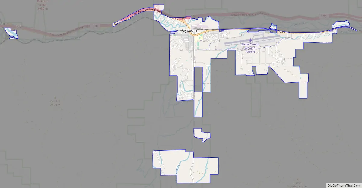
Gypsum Road Map
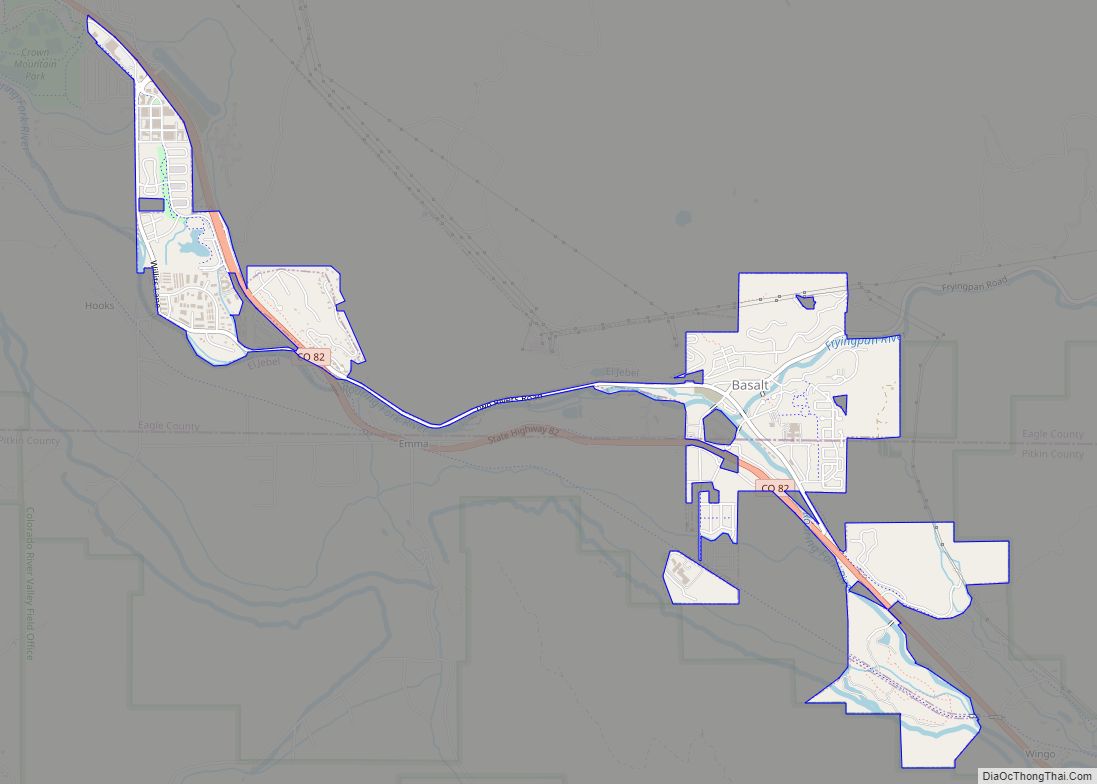
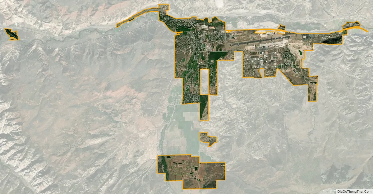
Gypsum city Satellite Map
Geography
Gypsum is located in western Eagle County at 39°38′40″N 106°56′25″W / 39.64444°N 106.94028°W / 39.64444; -106.94028 (39.644499, -106.940232), in the valley of the Eagle River, a west-flowing tributary of the Colorado River. U.S. Route 6 passes through the center of town, leading east (upriver) 7 miles (11 km) to Eagle, the county seat. Interstate 70 runs along the northern edge of Gypsum, with access from Exit 140. I-70 leads east 133 miles (214 km) to Denver and west 110 miles (180 km) to Grand Junction.
At the 2020 United States Census, the town had a total area of 5,738 acres (23.222 km) including 74 acres (0.298 km) of water.
See also
Map of Colorado State and its subdivision:- Adams
- Alamosa
- Arapahoe
- Archuleta
- Baca
- Bent
- Boulder
- Broomfield
- Chaffee
- Cheyenne
- Clear Creek
- Conejos
- Costilla
- Crowley
- Custer
- Delta
- Denver
- Dolores
- Douglas
- Eagle
- El Paso
- Elbert
- Fremont
- Garfield
- Gilpin
- Grand
- Gunnison
- Hinsdale
- Huerfano
- Jackson
- Jefferson
- Kiowa
- Kit Carson
- La Plata
- Lake
- Larimer
- Las Animas
- Lincoln
- Logan
- Mesa
- Mineral
- Moffat
- Montezuma
- Montrose
- Morgan
- Otero
- Ouray
- Park
- Phillips
- Pitkin
- Prowers
- Pueblo
- Rio Blanco
- Rio Grande
- Routt
- Saguache
- San Juan
- San Miguel
- Sedgwick
- Summit
- Teller
- Washington
- Weld
- Yuma
- Alabama
- Alaska
- Arizona
- Arkansas
- California
- Colorado
- Connecticut
- Delaware
- District of Columbia
- Florida
- Georgia
- Hawaii
- Idaho
- Illinois
- Indiana
- Iowa
- Kansas
- Kentucky
- Louisiana
- Maine
- Maryland
- Massachusetts
- Michigan
- Minnesota
- Mississippi
- Missouri
- Montana
- Nebraska
- Nevada
- New Hampshire
- New Jersey
- New Mexico
- New York
- North Carolina
- North Dakota
- Ohio
- Oklahoma
- Oregon
- Pennsylvania
- Rhode Island
- South Carolina
- South Dakota
- Tennessee
- Texas
- Utah
- Vermont
- Virginia
- Washington
- West Virginia
- Wisconsin
- Wyoming