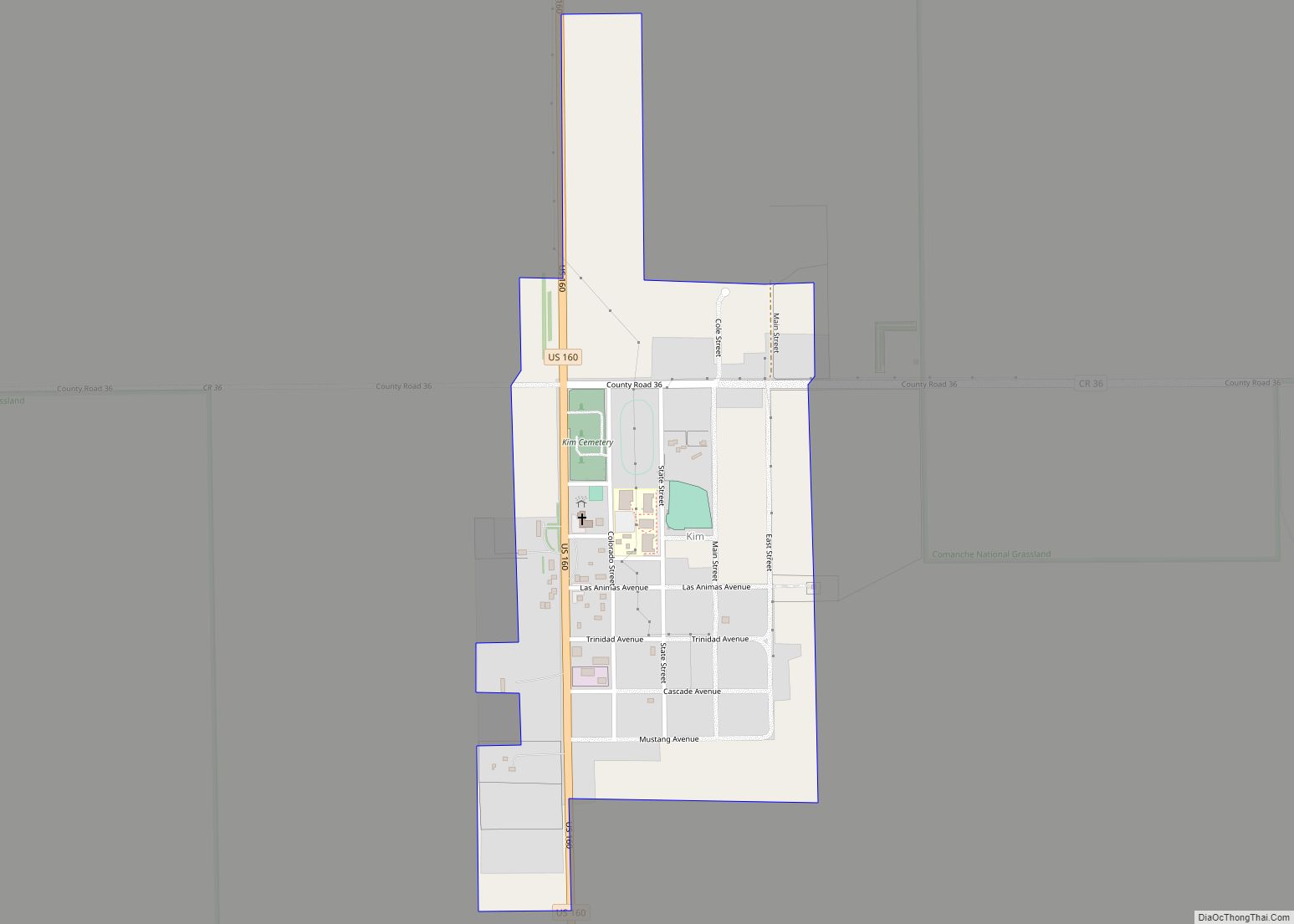
The Town of Kim is a Statutory Town in Las Animas County, Colorado, United States. The population was 63 at the time of the 2020 United States Census. As of 2014, the town included a complete school system (grades K-12), a post office, and a general store.
A post office called Kim has been in operation since 1917. The town was named after the novel Kim by Rudyard Kipling.
| Name: | Kim town |
|---|---|
| LSAD Code: | 43 |
| LSAD Description: | town (suffix) |
| State: | Colorado |
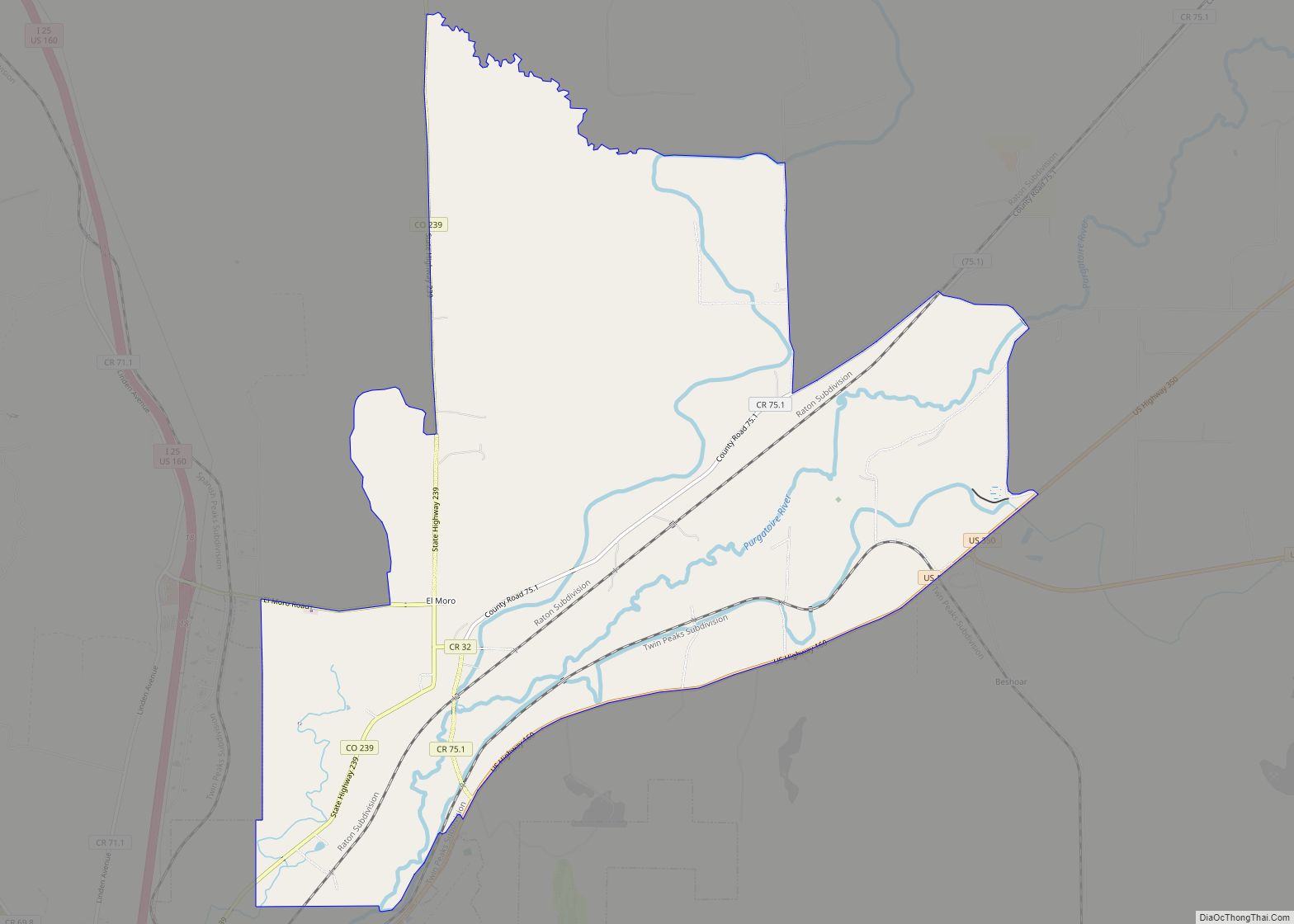
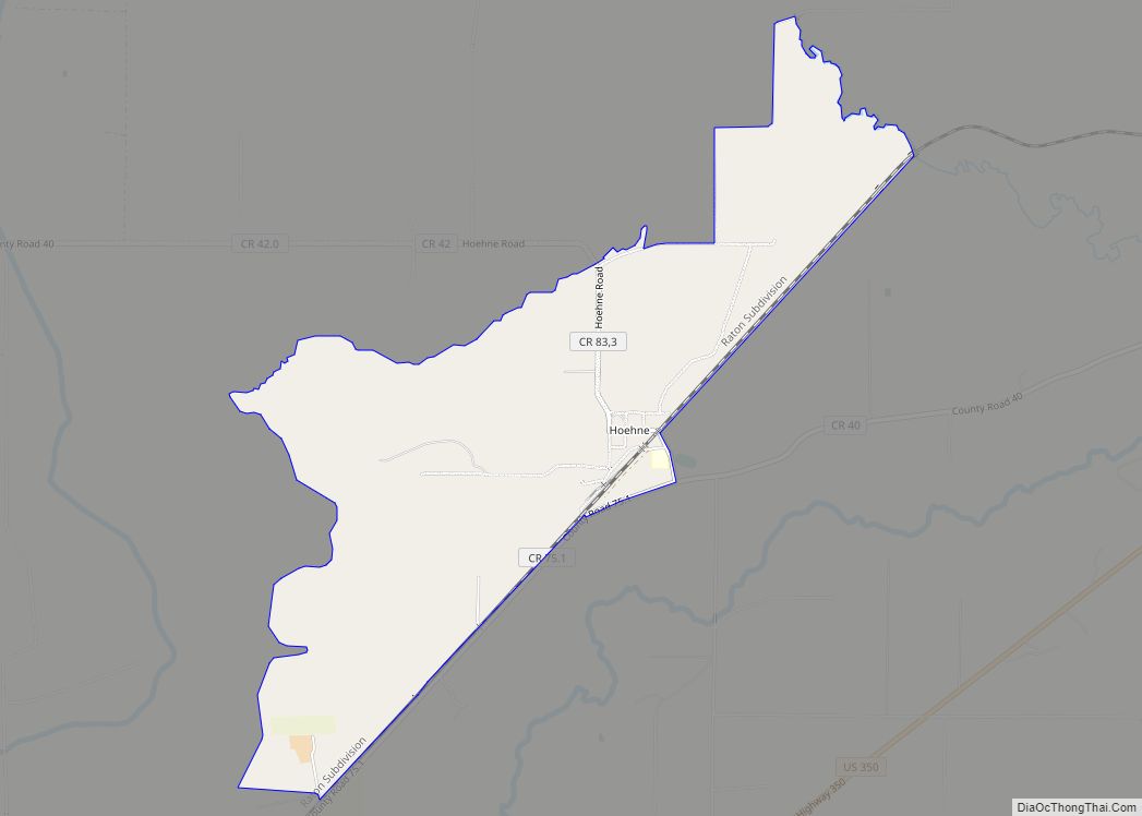
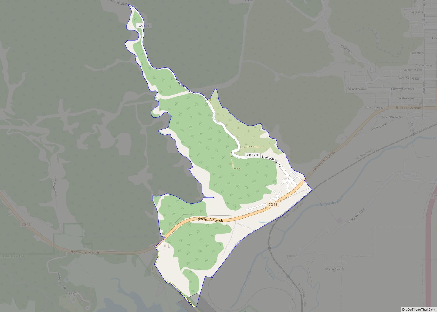
| County: | Las Animas County |
| Elevation: | 5,690 ft (1,734 m) |
| Total Area: | 0.38 sq mi (0.98 km²) |
| Land Area: | 0.38 sq mi (0.98 km²) |
| Water Area: | 0.00 sq mi (0.00 km²) |
| Total Population: | 63 |
| Population Density: | 170/sq mi (64/km²) |
| ZIP code: | 81049 |
| Area code: | 719 |
| FIPS code: | 0840570 |
| GNISfeature ID: | 0203870 |
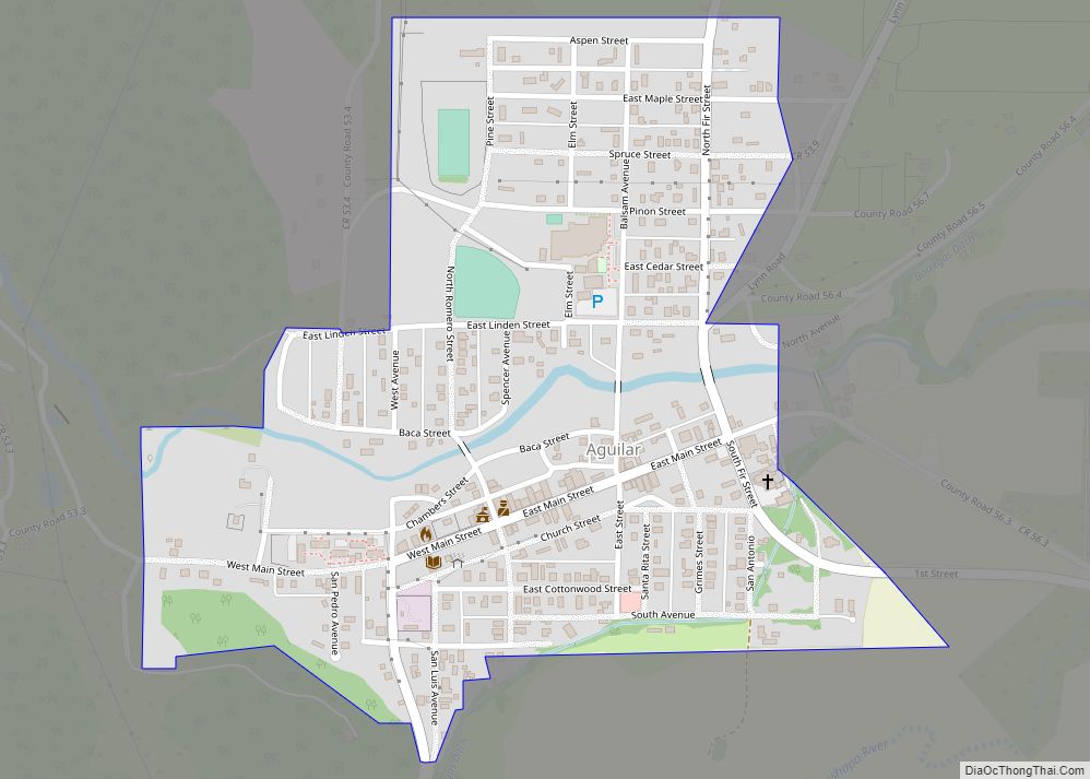
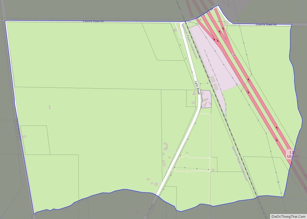
Online Interactive Map
Click on ![]() to view map in "full screen" mode.
to view map in "full screen" mode.
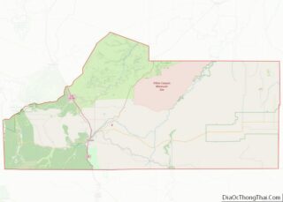
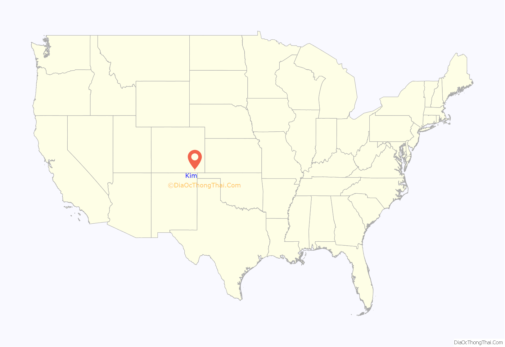
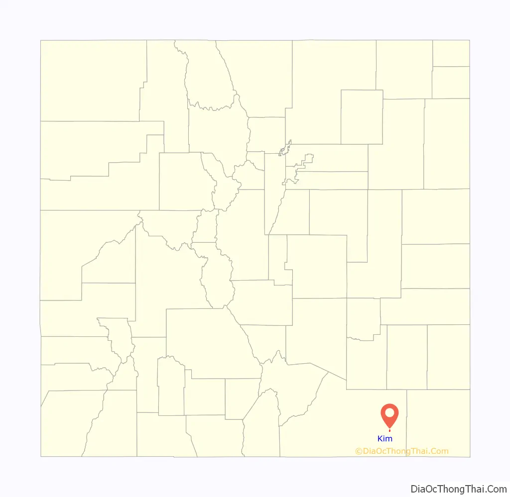
Kim location map. Where is Kim town?
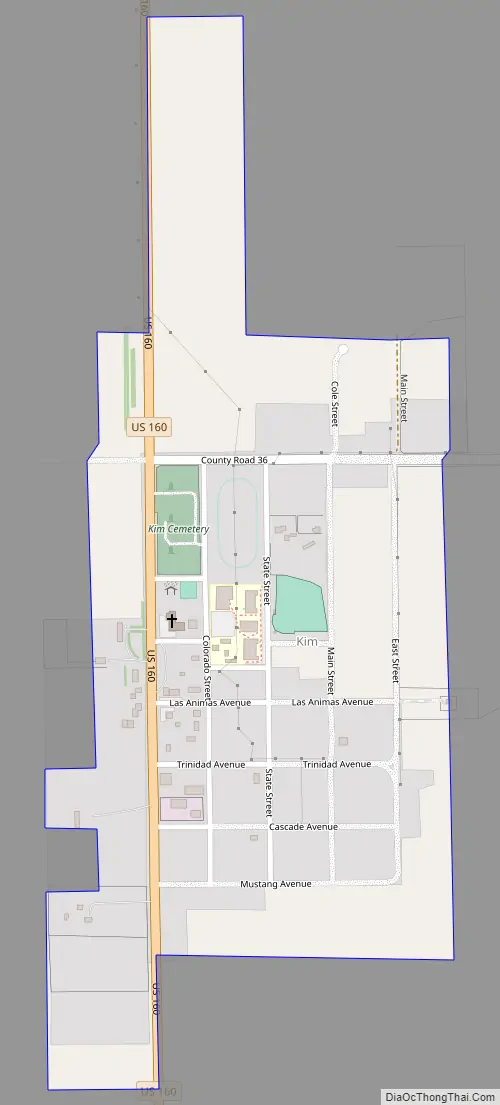
Kim Road Map
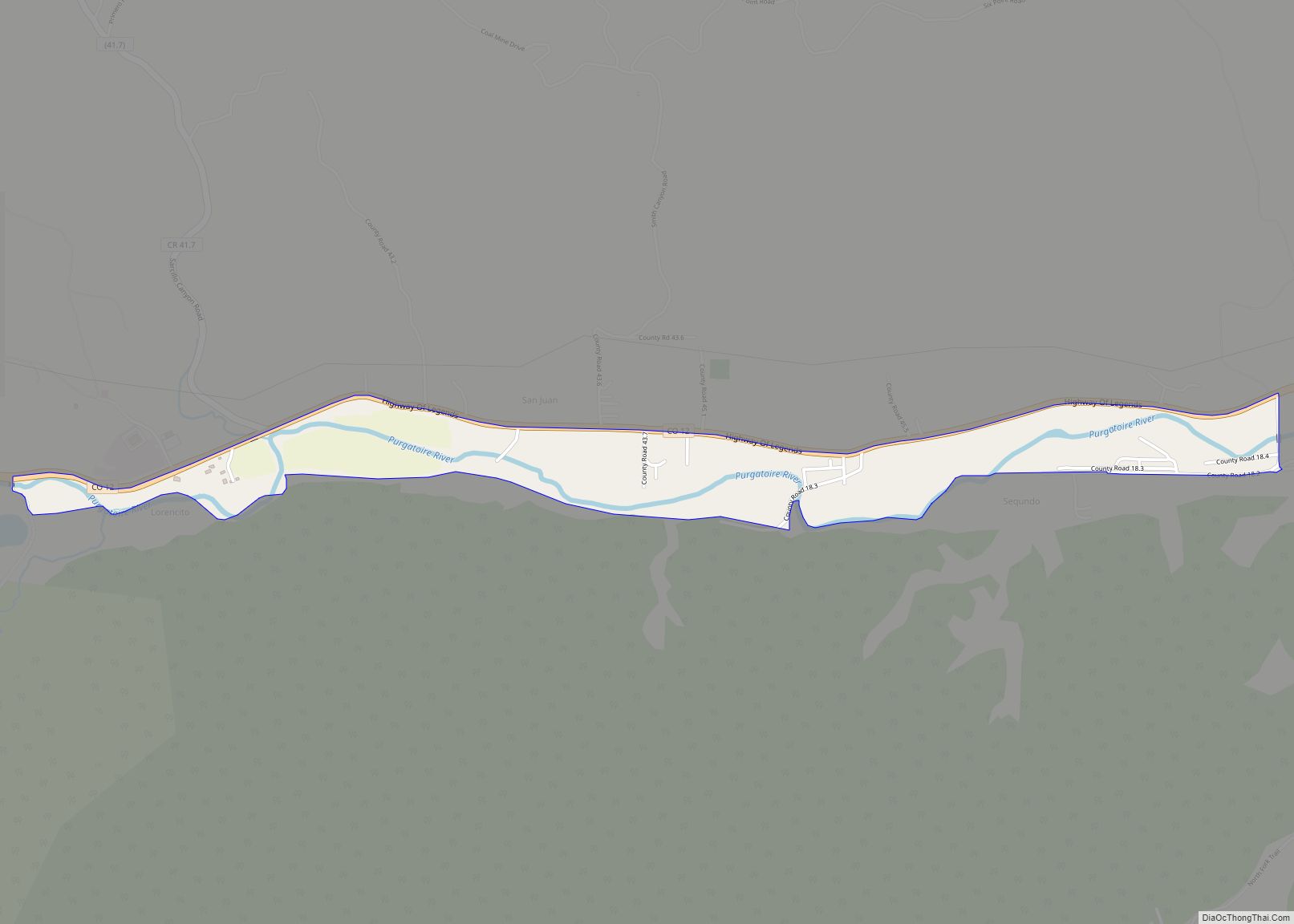
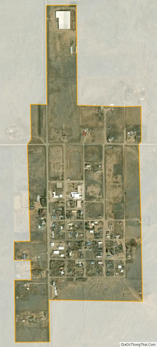
Kim city Satellite Map
Geography
Kim is located at 37°14′46″N 103°21′13″W / 37.24611°N 103.35361°W / 37.24611; -103.35361 (37.246129, -103.353643).
According to the United States Census Bureau, the town has a total area of 0.3 square miles (0.78 km), all of it land.
Kim is located on the plains of southeastern Colorado and the elevation is 5690 ft (1734 m).
See also
Map of Colorado State and its subdivision:- Adams
- Alamosa
- Arapahoe
- Archuleta
- Baca
- Bent
- Boulder
- Broomfield
- Chaffee
- Cheyenne
- Clear Creek
- Conejos
- Costilla
- Crowley
- Custer
- Delta
- Denver
- Dolores
- Douglas
- Eagle
- El Paso
- Elbert
- Fremont
- Garfield
- Gilpin
- Grand
- Gunnison
- Hinsdale
- Huerfano
- Jackson
- Jefferson
- Kiowa
- Kit Carson
- La Plata
- Lake
- Larimer
- Las Animas
- Lincoln
- Logan
- Mesa
- Mineral
- Moffat
- Montezuma
- Montrose
- Morgan
- Otero
- Ouray
- Park
- Phillips
- Pitkin
- Prowers
- Pueblo
- Rio Blanco
- Rio Grande
- Routt
- Saguache
- San Juan
- San Miguel
- Sedgwick
- Summit
- Teller
- Washington
- Weld
- Yuma
- Alabama
- Alaska
- Arizona
- Arkansas
- California
- Colorado
- Connecticut
- Delaware
- District of Columbia
- Florida
- Georgia
- Hawaii
- Idaho
- Illinois
- Indiana
- Iowa
- Kansas
- Kentucky
- Louisiana
- Maine
- Maryland
- Massachusetts
- Michigan
- Minnesota
- Mississippi
- Missouri
- Montana
- Nebraska
- Nevada
- New Hampshire
- New Jersey
- New Mexico
- New York
- North Carolina
- North Dakota
- Ohio
- Oklahoma
- Oregon
- Pennsylvania
- Rhode Island
- South Carolina
- South Dakota
- Tennessee
- Texas
- Utah
- Vermont
- Virginia
- Washington
- West Virginia
- Wisconsin
- Wyoming