La Veta (/ləˈvitə/ lə-VEE-tə, Spanish for “the vein”) is a statutory town in Huerfano County, Colorado, United States. The town population was 862 as of the 2020 United States Census.
| Name: | La Veta town |
|---|---|
| LSAD Code: | 43 |
| LSAD Description: | town (suffix) |
| State: | Colorado |
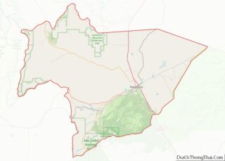
| County: | Huerfano County |
| Elevation: | 7,037 ft (2,145 m) |
| Total Area: | 1.37 sq mi (3.54 km²) |
| Land Area: | 1.37 sq mi (3.54 km²) |
| Water Area: | 0.00 sq mi (0.00 km²) |
| Total Population: | 862 |
| Population Density: | 630/sq mi (240/km²) |
| ZIP code: | 81055 |
| Area code: | 719 |
| FIPS code: | 0844100 |
| GNISfeature ID: | 0204782 |
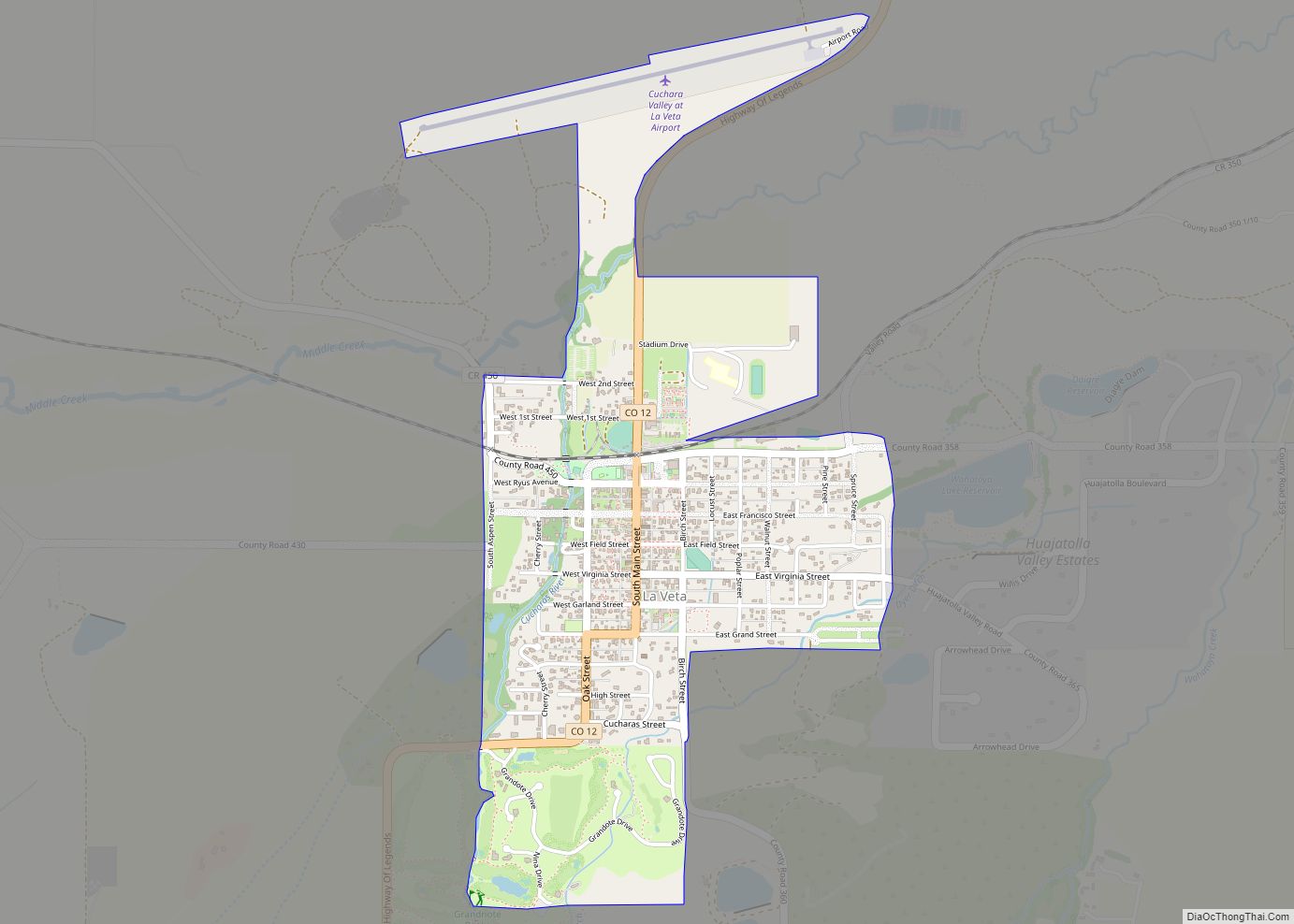
Online Interactive Map
Click on ![]() to view map in "full screen" mode.
to view map in "full screen" mode.
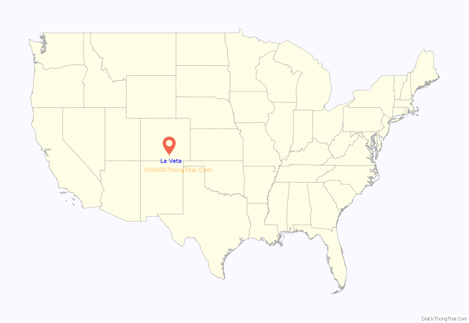
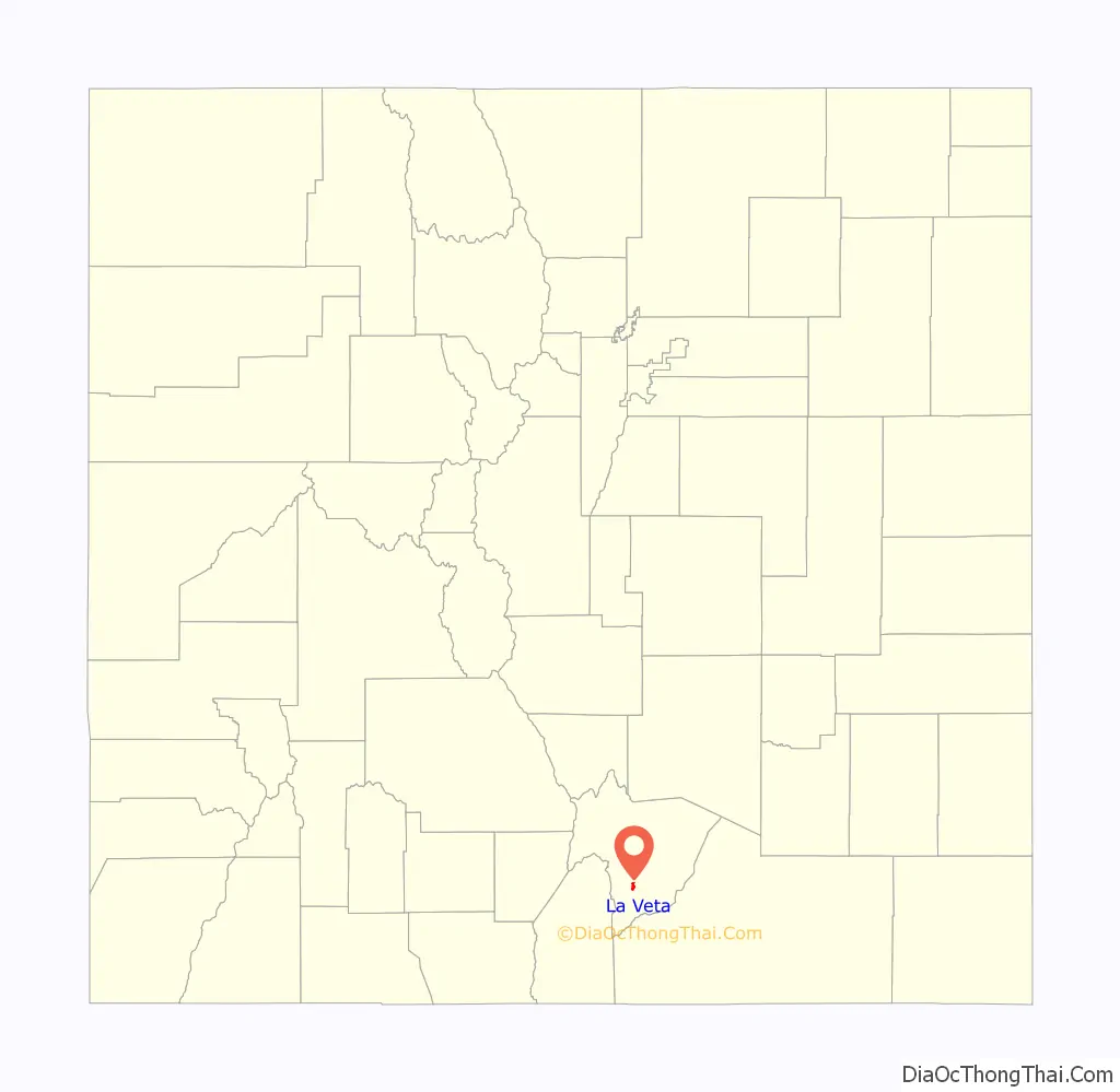
La Veta location map. Where is La Veta town?
History
Col. John M. Francisco, the sutler at Fort Garland, and his business partner, Henry Daigre, purchased 48,000 acres of land in Cuchara Valley in 1862. The land was part of the Vigil land grant. They established a settlement for farmers and ranchers, with Francisco Fort as the commercial center. The 100-foot-square building was constructed with 2-foot thick adobe walls, interior rooms, that opened up to a central plaza. It was built with a flat roof with gun ports along the parapets. In 1863, the fort was attacked by a band of Ute Indians. Men got on the roof to defend the fort, and a volunteer rode to Fort Lyon. The Utes departed before the troops arrived.
In 1871, the settlement was named Spanish Peak and a post office was established. New settlers came to the area with the arrival of the Denver & Rio Grande Railroad. The narrow gauge railroad, which crossed La Veta Pass, was the highest U.S. railroad pass at the time. A depot, the La Veta Pass Narrow Gauge Railroad Depot, was built one block north of the fort and the town was platted by the railroad in 1876. The fort is now operated by the Huerfano Historical Society. A post office called La Veta has been in operation since 1876. The community was named for a mineral deposit near the original town site, La Veta meaning “mineral vein” in Spanish.
On the morning of 8 November 1913, William Gambling, a miner who had refused to join the 1913-1914 United Mine Workers of America strike against the Colorado Fuel and Iron company, was intercepted and accosted by pro-strikers as he was traveling to the dentist in La Veta. He left the dentist’s office later and was picked up by a car carrying three mine guards and a driver. A volley of gunfire was aimed at the car, killing all but Gambling. At least five men were arrested by the Colorado National Guard in relation to this incident, part of the early stages of the Colorado Coalfield War. Gambling, who managed to escape to a nearby dairy farm on Middle Creek, was attended to and aided back to the Oakview Mine the next day by the dairy farmer who routinely delivered milk to the mining camp.
La Veta Road Map

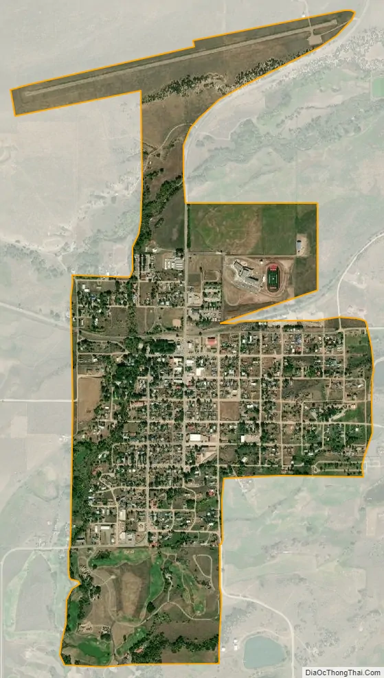
La Veta city Satellite Map
Geography
La Veta is located at 37°30′28″N 105°0′29″W / 37.50778°N 105.00806°W / 37.50778; -105.00806 (37.507681, -105.008038).
According to the United States Census Bureau, the town has a total area of 1.37 square miles (3.5 km), all of it land. At one time (1919) there were sulfur springs in La Veta owned by Dr. Acker. They were last managed by W J Pierce of Colorado Springs.
See also
Map of Colorado State and its subdivision:- Adams
- Alamosa
- Arapahoe
- Archuleta
- Baca
- Bent
- Boulder
- Broomfield
- Chaffee
- Cheyenne
- Clear Creek
- Conejos
- Costilla
- Crowley
- Custer
- Delta
- Denver
- Dolores
- Douglas
- Eagle
- El Paso
- Elbert
- Fremont
- Garfield
- Gilpin
- Grand
- Gunnison
- Hinsdale
- Huerfano
- Jackson
- Jefferson
- Kiowa
- Kit Carson
- La Plata
- Lake
- Larimer
- Las Animas
- Lincoln
- Logan
- Mesa
- Mineral
- Moffat
- Montezuma
- Montrose
- Morgan
- Otero
- Ouray
- Park
- Phillips
- Pitkin
- Prowers
- Pueblo
- Rio Blanco
- Rio Grande
- Routt
- Saguache
- San Juan
- San Miguel
- Sedgwick
- Summit
- Teller
- Washington
- Weld
- Yuma
- Alabama
- Alaska
- Arizona
- Arkansas
- California
- Colorado
- Connecticut
- Delaware
- District of Columbia
- Florida
- Georgia
- Hawaii
- Idaho
- Illinois
- Indiana
- Iowa
- Kansas
- Kentucky
- Louisiana
- Maine
- Maryland
- Massachusetts
- Michigan
- Minnesota
- Mississippi
- Missouri
- Montana
- Nebraska
- Nevada
- New Hampshire
- New Jersey
- New Mexico
- New York
- North Carolina
- North Dakota
- Ohio
- Oklahoma
- Oregon
- Pennsylvania
- Rhode Island
- South Carolina
- South Dakota
- Tennessee
- Texas
- Utah
- Vermont
- Virginia
- Washington
- West Virginia
- Wisconsin
- Wyoming