Walsenburg is the Statutory City that is the county seat and the most populous municipality of Huerfano County, Colorado, United States. The city population was 3,049 at the 2020 census, down from 3,068 in 2010.
| Name: | Walsenburg city |
|---|---|
| LSAD Code: | 25 |
| LSAD Description: | city (suffix) |
| State: | Colorado |
| County: | Huerfano County |
| Incorporated: | June 16, 1873 |
| Elevation: | 6,171 ft (1,881 m) |
| Total Area: | 2.99 sq mi (7.74 km²) |
| Land Area: | 2.99 sq mi (7.74 km²) |
| Water Area: | 0.00 sq mi (0.00 km²) |
| Total Population: | 3,049 |
| Population Density: | 1,000/sq mi (390/km²) |
| ZIP code: | 81089 |
| Area code: | 719 |
| FIPS code: | 0882350 |
| GNISfeature ID: | 0204806 |
| Website: | www.colorado.gov/walsenburg |
Online Interactive Map
Click on ![]() to view map in "full screen" mode.
to view map in "full screen" mode.
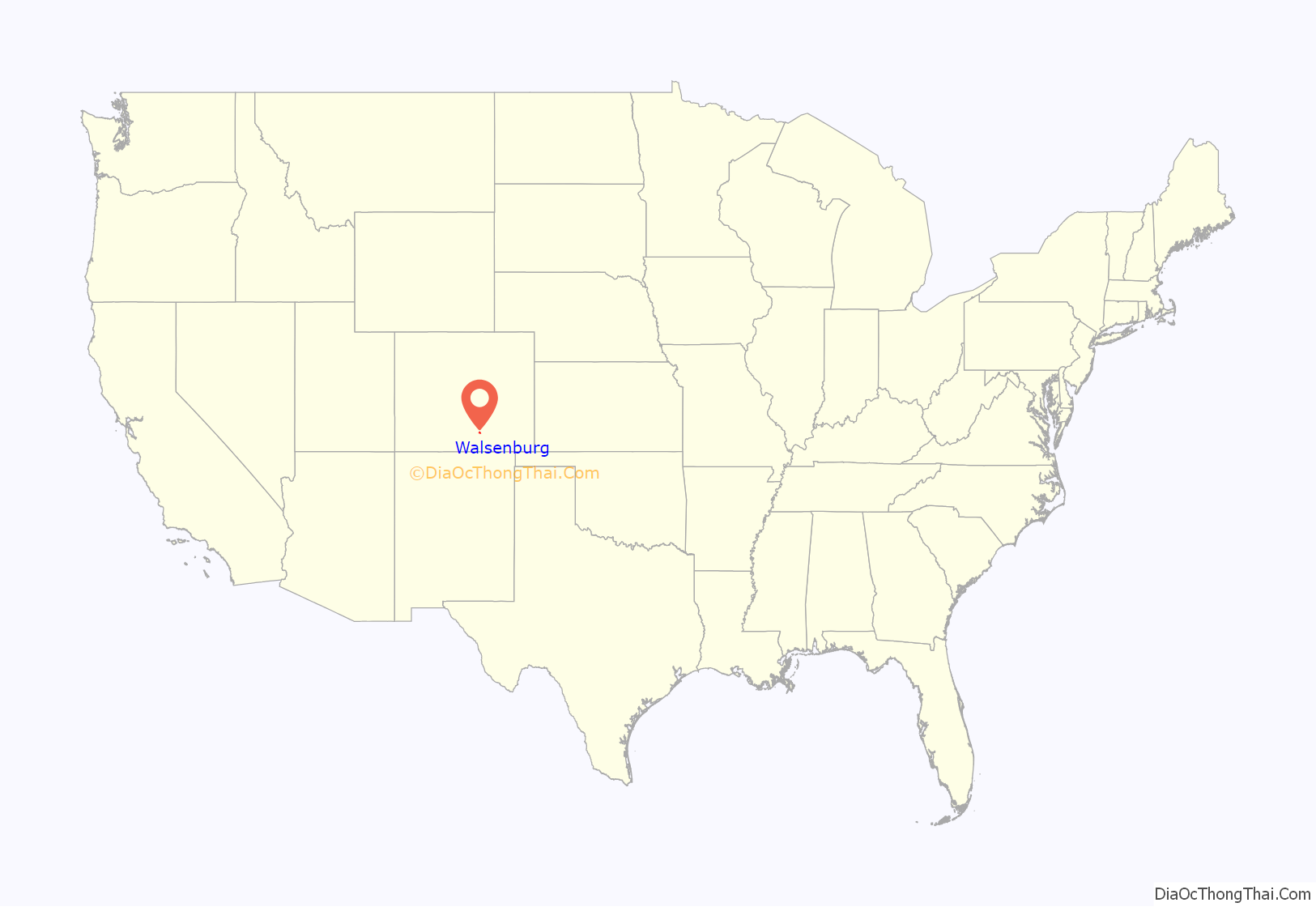
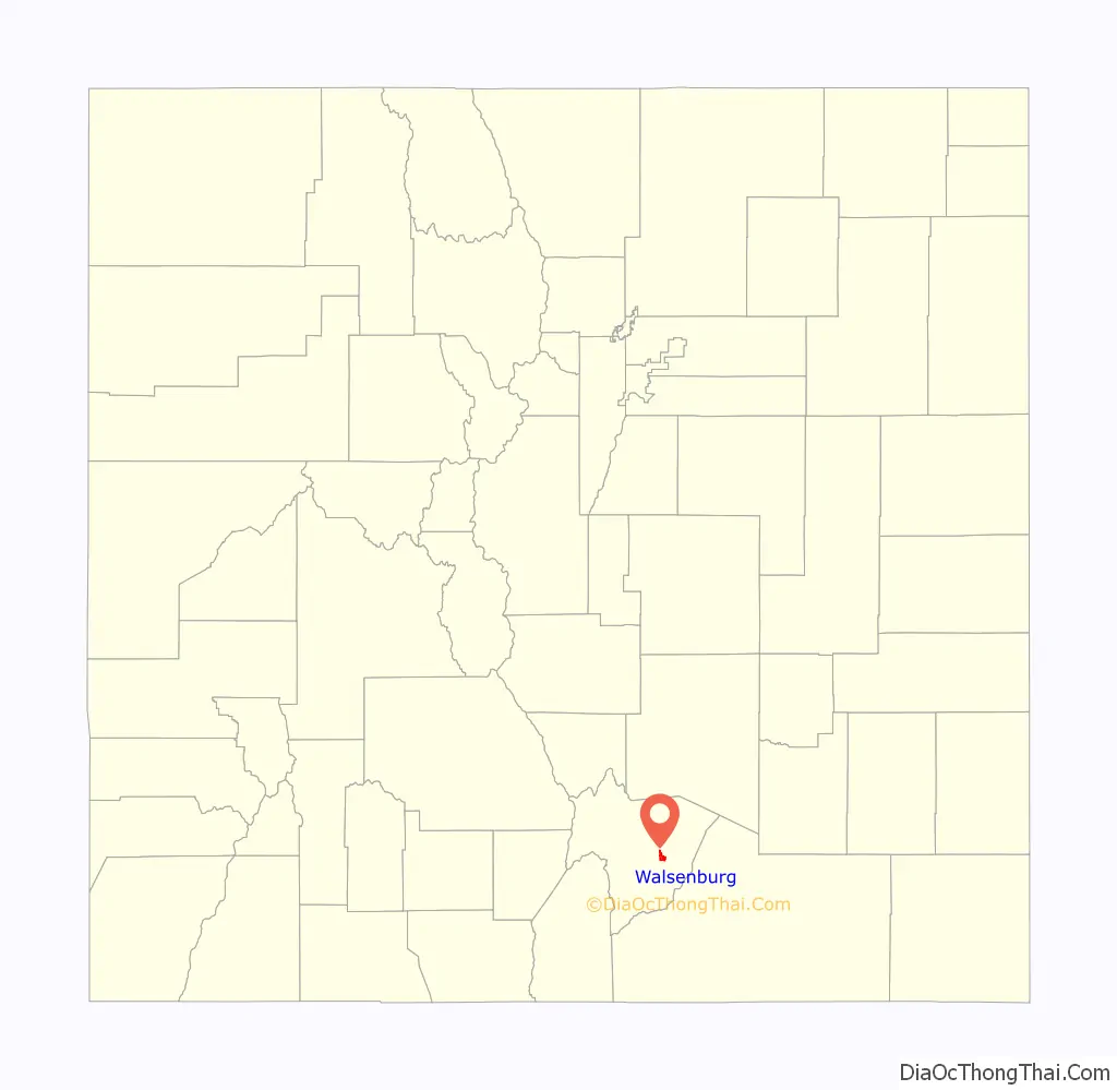
Walsenburg location map. Where is Walsenburg city?
History
Walsenburg was originally settled under the name of La Plaza de los Leones in 1859. The settlement was named after settler Don Miguel Antonio de Leon, who came along with others from New Mexico. A post office called Walsenburg has been in operation since 1870. The community was named after Fred Walsen, an early settler. Robert Ford, the assassin of outlaw Jesse James, operated a combination saloon and gambling house in Walsenburg; his home at 320 West 7th Street still stands. The town is also remembered in sports history due to a famous newspaper gaffe (“Will Overhead”) after the 1933 Indianapolis 500.
Colorado Coalfield War
Walsenburg played a central role in the 1913-1914 Strike of the United Mine Workers of America against the Rockefeller-owned Colorado Fuel and Iron, an event better known as the Colorado Coalfield War. The town was the site of a Colorado and Southern Railway stop and location of several gun-battles before and after the 20 April 1914 Ludlow Massacre that killed over a dozen women and children when Colorado National Guard opened fire on a striker encampment at Ludlow, 22 miles south of Walsenburg. Among the first instances of violence in Walsenburg during the coal strikes is known as the Seventh Street Massacre, which saw three miners died in a shooting perpetrated by newly minted Walsenburg deputies.
The Battle of Walsenburg (28-29 April 1914) was the penultimate engagement of National Guard and militia against pro-strikers during the 10-Day War stage of the conflict. Several men on both sides, as well as at least one uninvolved civilian, were killed before strikers withdrew.
Walsenburg is mentioned in the Woody Guthrie song “Ludlow Massacre”.
21st Century
On 19 June 2013, Boy Scouts at Spanish Peaks Scout Ranch noticed an uncontrolled fire near East Spanish Peak which rapidly grew over the next few days, growing into the East Peak Fire. The entirety of Walsenburg was placed under a pre-evacuation notice. The fire burned 13,572 acres (54.92 km) and was contained on July 9th.
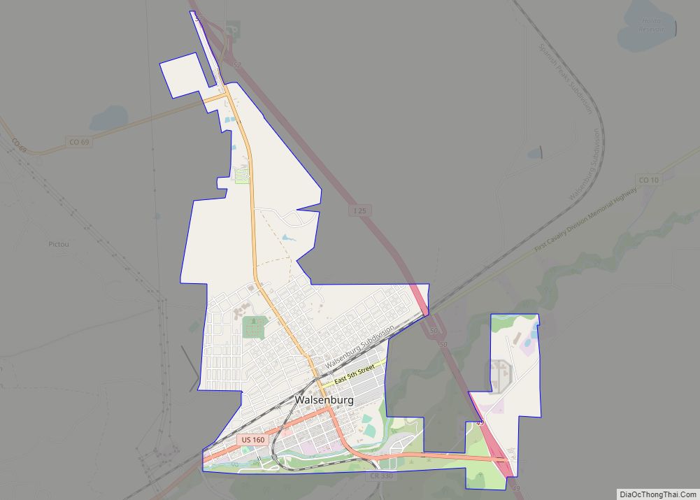
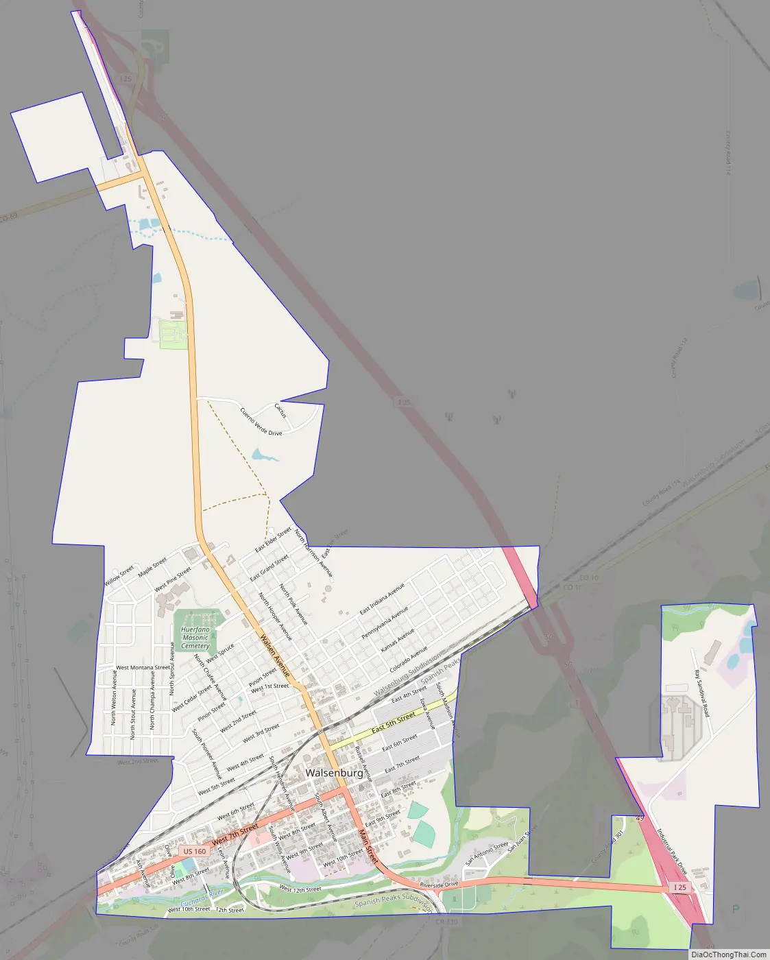
Walsenburg Road Map
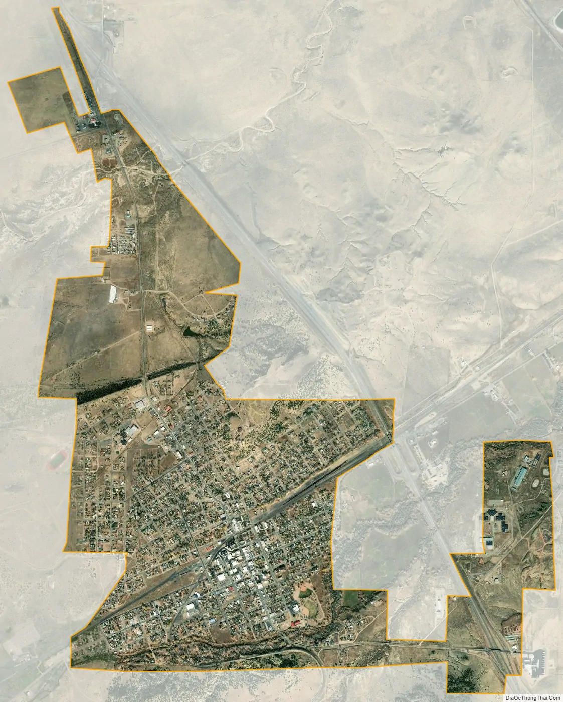
Walsenburg city Satellite Map
Geography
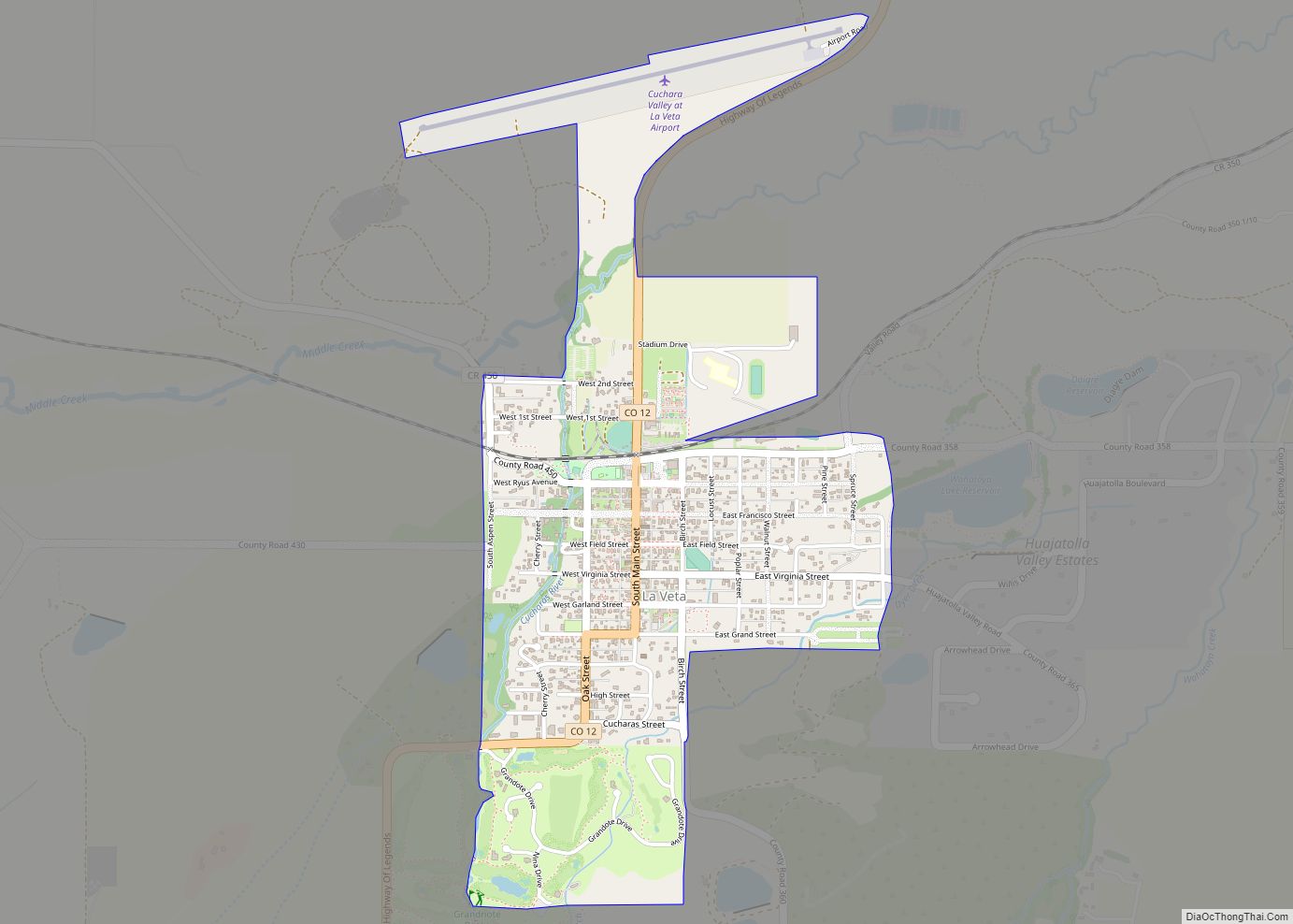
Walsenburg is located in east-central Huerfano County, on the north side of the Cucharas River, at the eastern edge of the foothills of the Sangre de Cristo Mountains. Interstate 25 runs along the eastern edge of the city, with access from Exits 49, 50, and 52. I-25 leads north 48 miles (77 km) to Pueblo and south 36 miles (58 km) to Trinidad. U.S. Route 160 passes through the center of Walsenburg, leading west across North La Veta Pass 72 miles (116 km) to Alamosa and south with I-25 to Trinidad. Colorado State Highway 10 leads northeast from Walsenburg 73 miles (117 km) to La Junta.
According to the United States Census Bureau, Walsenburg has a total area of 3.2 square miles (8.2 km), all of it land.
The Spanish Peaks Regional Health Center is located 2 miles (3 km) west of Walsenburg on US 160, opposite the entrance to Lathrop State Park. The building houses a state-operated veterans’ retirement home and a community hospital that serves the area.
Walsenburg has a humid subtropical climate (Cfa) with hot, rainy summers with cool nights and cool snowy winters with chilly nights.
See also
Map of Colorado State and its subdivision:- Adams
- Alamosa
- Arapahoe
- Archuleta
- Baca
- Bent
- Boulder
- Broomfield
- Chaffee
- Cheyenne
- Clear Creek
- Conejos
- Costilla
- Crowley
- Custer
- Delta
- Denver
- Dolores
- Douglas
- Eagle
- El Paso
- Elbert
- Fremont
- Garfield
- Gilpin
- Grand
- Gunnison
- Hinsdale
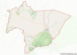
- Huerfano
- Jackson
- Jefferson
- Kiowa
- Kit Carson
- La Plata
- Lake
- Larimer
- Las Animas
- Lincoln
- Logan
- Mesa
- Mineral
- Moffat
- Montezuma
- Montrose
- Morgan
- Otero
- Ouray
- Park
- Phillips
- Pitkin
- Prowers
- Pueblo
- Rio Blanco
- Rio Grande
- Routt
- Saguache
- San Juan
- San Miguel
- Sedgwick
- Summit
- Teller
- Washington
- Weld
- Yuma
- Alabama
- Alaska
- Arizona
- Arkansas
- California
- Colorado
- Connecticut
- Delaware
- District of Columbia
- Florida
- Georgia
- Hawaii
- Idaho
- Illinois
- Indiana
- Iowa
- Kansas
- Kentucky
- Louisiana
- Maine
- Maryland
- Massachusetts
- Michigan
- Minnesota
- Mississippi
- Missouri
- Montana
- Nebraska
- Nevada
- New Hampshire
- New Jersey
- New Mexico
- New York
- North Carolina
- North Dakota
- Ohio
- Oklahoma
- Oregon
- Pennsylvania
- Rhode Island
- South Carolina
- South Dakota
- Tennessee
- Texas
- Utah
- Vermont
- Virginia
- Washington
- West Virginia
- Wisconsin
- Wyoming