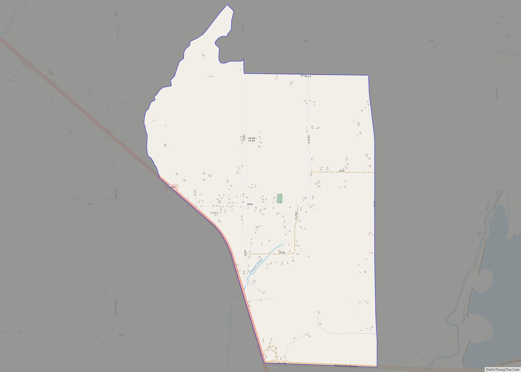
Lewis is an unincorporated town, a post office, and a census-designated place (CDP) located in and governed by Montezuma County, Colorado, United States. The Lewis post office has the ZIP Code 81327. At the 2020 census, the population of the Lewis CDP was 257, down from 302 in 2010.
| Name: | Lewis CDP |
|---|---|
| LSAD Code: | 57 |
| LSAD Description: | CDP (suffix) |
| State: | Colorado |
| County: | Montezuma County |
| Elevation: | 6,729 ft (2,051 m) |
| Total Area: | 3.110 sq mi (8.056 km²) |
| Land Area: | 3.110 sq mi (8.056 km²) |
| Water Area: | 0.000 sq mi (0.000 km²) |
| Total Population: | 257 |
| Population Density: | 83/sq mi (31.9/km²) |
| ZIP code: | 81327 |
| Area code: | 970 |
| FIPS code: | 0844595 |
Online Interactive Map
Click on ![]() to view map in "full screen" mode.
to view map in "full screen" mode.
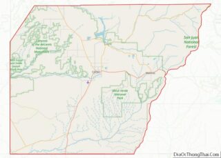
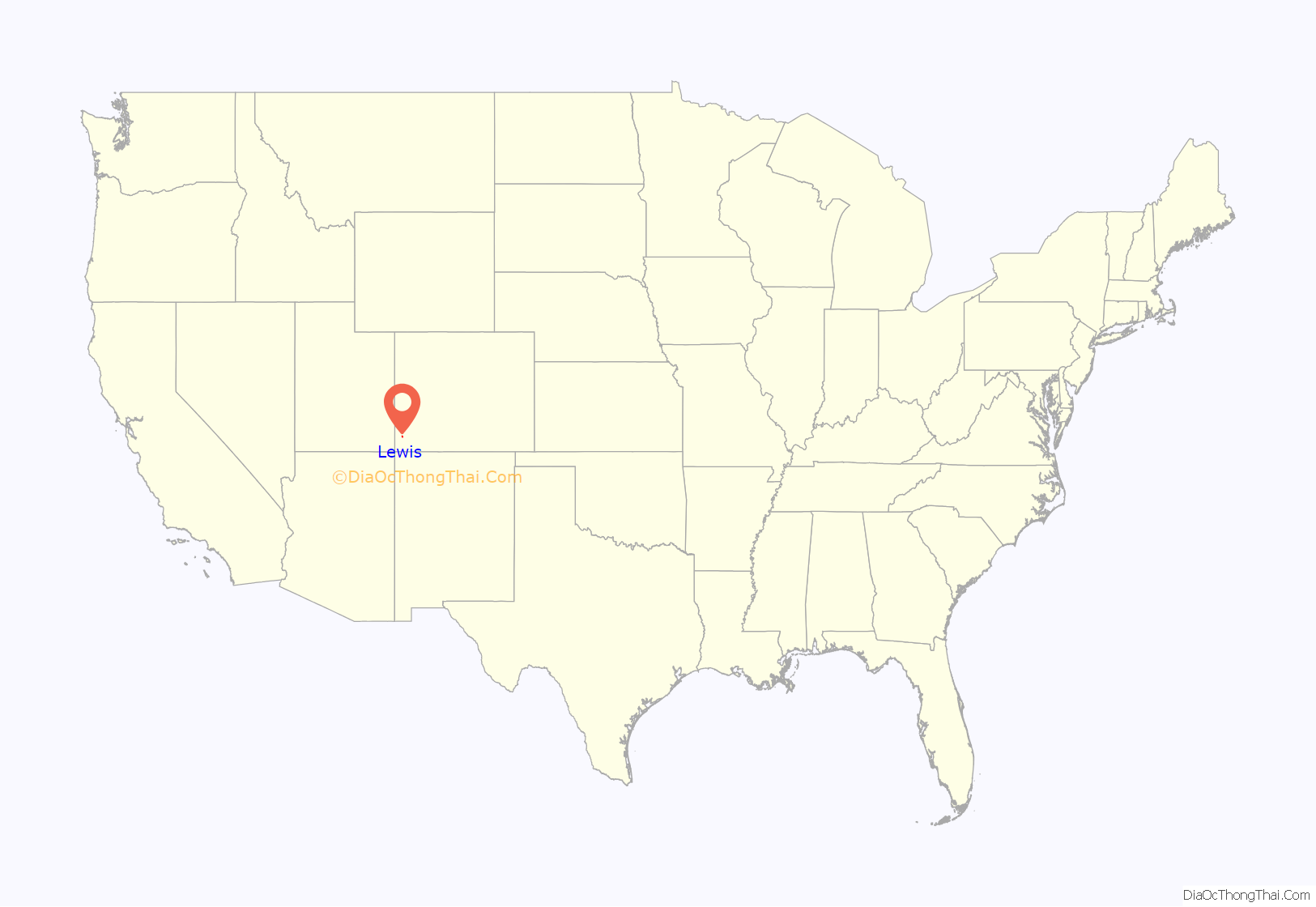
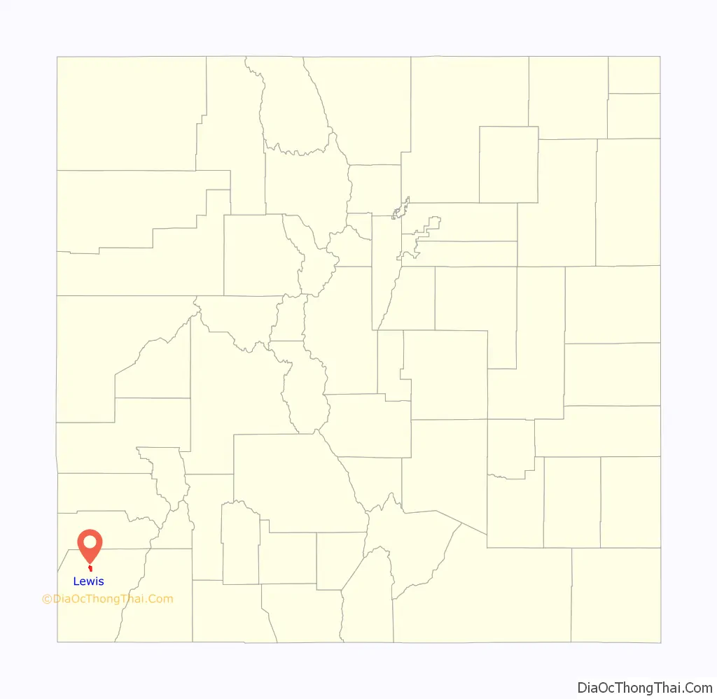
Lewis location map. Where is Lewis CDP?
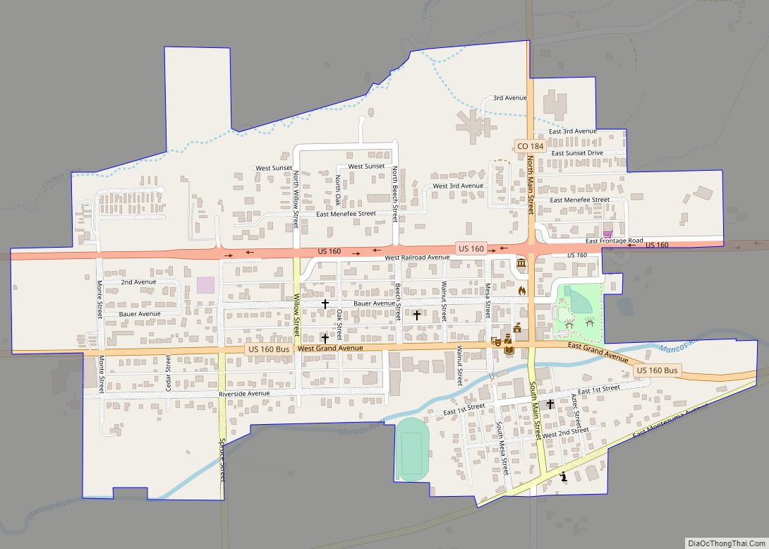
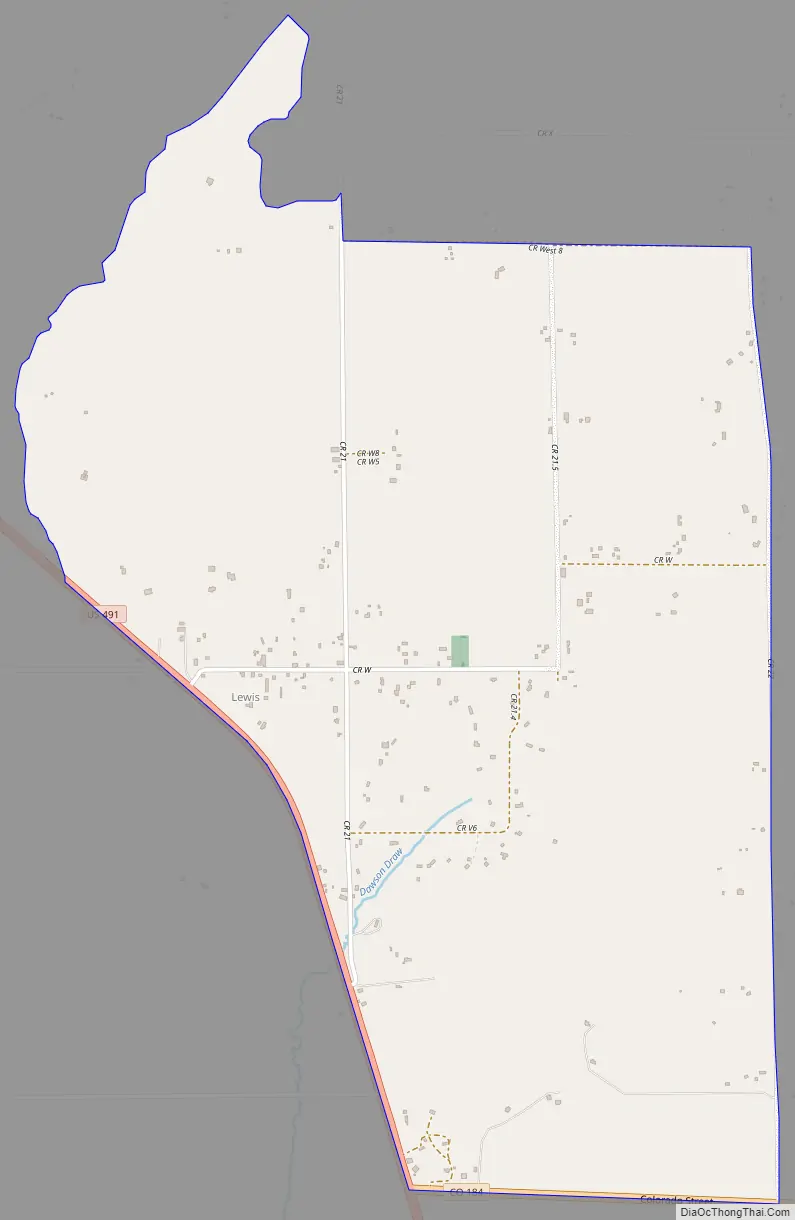
Lewis Road Map
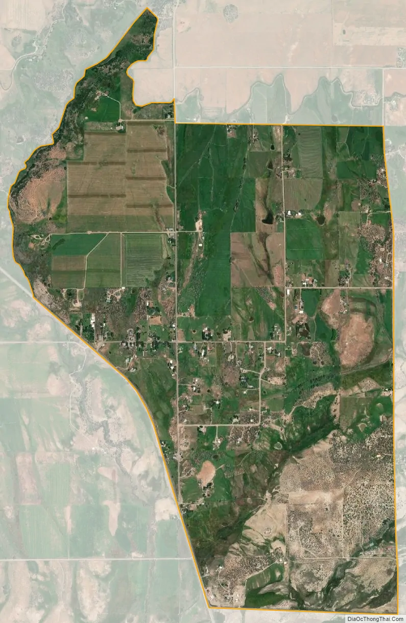
Lewis city Satellite Map
Geography
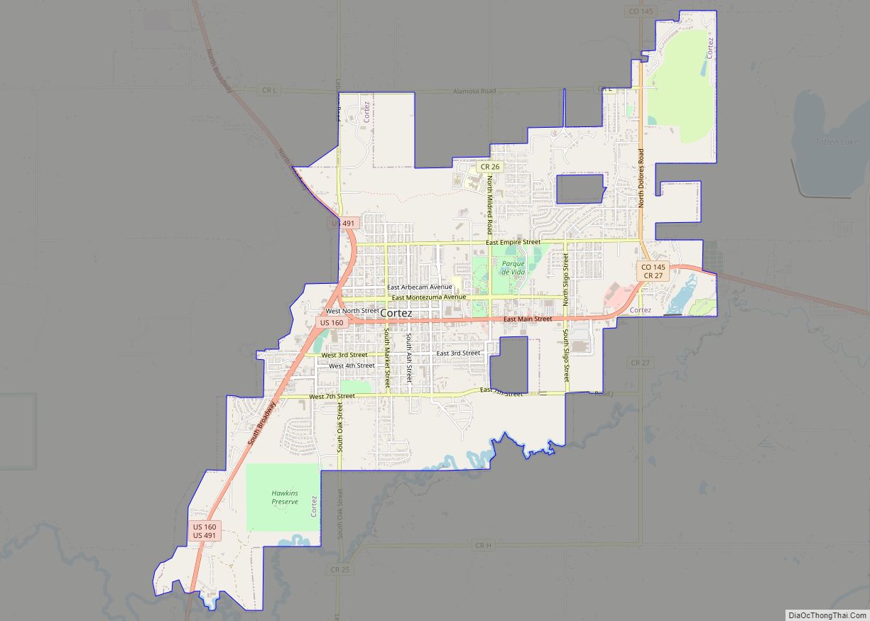
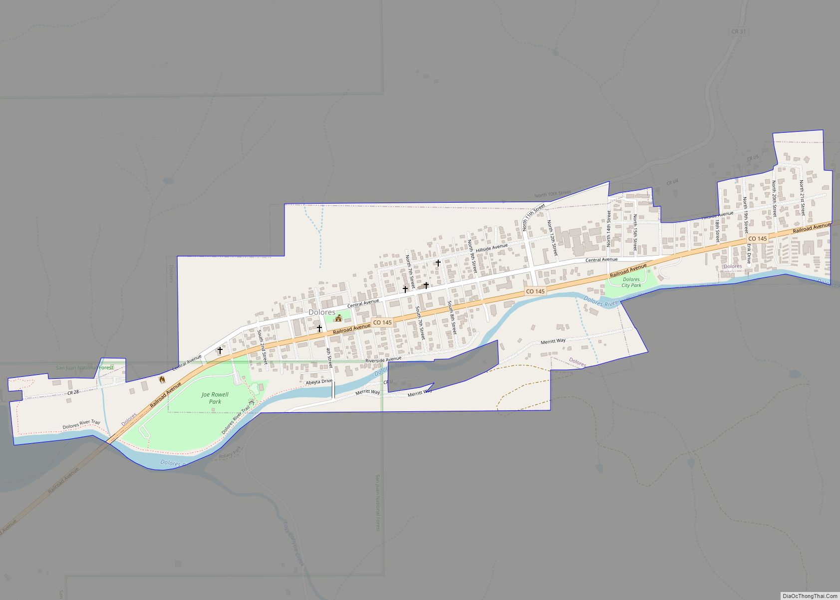
Lewis is in northern Montezuma County, on the northeast side of U.S. Route 491, which leads south 11 miles (18 km) to Cortez, the county seat, and northwest 48 miles (77 km) to Monticello, Utah. Colorado State Highway 184 leaves US 491 at the southern edge of the community and leads east 10 miles (16 km) to Dolores.
The Lewis CDP has an area of 1,990.7 acres (8.056 km), all land.
See also
Map of Colorado State and its subdivision:- Adams
- Alamosa
- Arapahoe
- Archuleta
- Baca
- Bent
- Boulder
- Broomfield
- Chaffee
- Cheyenne
- Clear Creek
- Conejos
- Costilla
- Crowley
- Custer
- Delta
- Denver
- Dolores
- Douglas
- Eagle
- El Paso
- Elbert
- Fremont
- Garfield
- Gilpin
- Grand
- Gunnison
- Hinsdale
- Huerfano
- Jackson
- Jefferson
- Kiowa
- Kit Carson
- La Plata
- Lake
- Larimer
- Las Animas
- Lincoln
- Logan
- Mesa
- Mineral
- Moffat
- Montezuma
- Montrose
- Morgan
- Otero
- Ouray
- Park
- Phillips
- Pitkin
- Prowers
- Pueblo
- Rio Blanco
- Rio Grande
- Routt
- Saguache
- San Juan
- San Miguel
- Sedgwick
- Summit
- Teller
- Washington
- Weld
- Yuma
- Alabama
- Alaska
- Arizona
- Arkansas
- California
- Colorado
- Connecticut
- Delaware
- District of Columbia
- Florida
- Georgia
- Hawaii
- Idaho
- Illinois
- Indiana
- Iowa
- Kansas
- Kentucky
- Louisiana
- Maine
- Maryland
- Massachusetts
- Michigan
- Minnesota
- Mississippi
- Missouri
- Montana
- Nebraska
- Nevada
- New Hampshire
- New Jersey
- New Mexico
- New York
- North Carolina
- North Dakota
- Ohio
- Oklahoma
- Oregon
- Pennsylvania
- Rhode Island
- South Carolina
- South Dakota
- Tennessee
- Texas
- Utah
- Vermont
- Virginia
- Washington
- West Virginia
- Wisconsin
- Wyoming