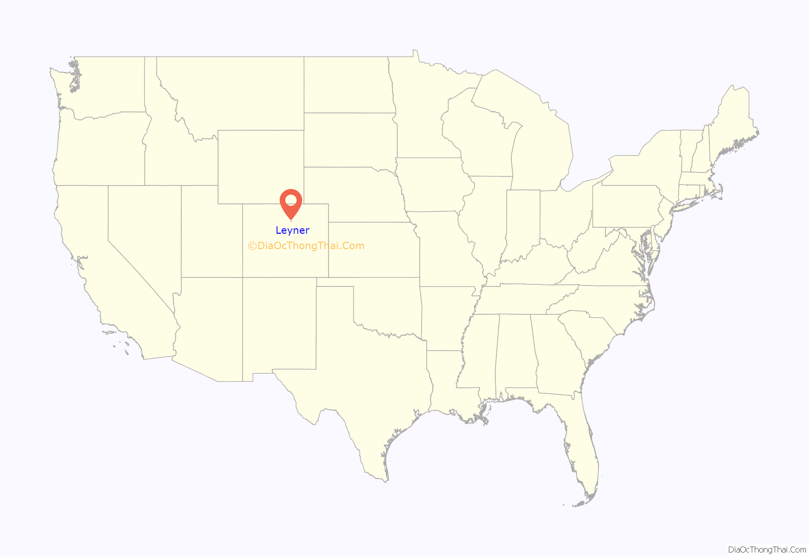
Leyner is an unincorporated community and a census-designated place (CDP) located in and governed by Boulder County, Colorado, United States. The CDP is a part of the Boulder, CO Metropolitan Statistical Area. The population of the Leyner CDP was 40 at the United States Census 2020. The Lafayette post office (Zip Code 80026) serves the area.
| Name: | Leyner CDP |
|---|---|
| LSAD Code: | 57 |
| LSAD Description: | CDP (suffix) |
| State: | Colorado |
| County: | Boulder County |
| Elevation: | 5,033 ft (1,534 m) |
| Total Area: | 0.236 sq mi (0.612 km²) |
| Land Area: | 0.195 sq mi (0.506 km²) |
| Water Area: | 0.041 sq mi (0.106 km²) |
| Total Population: | 40 |
| Population Density: | 170/sq mi (65/km²) |
| ZIP code: | Lafayette 80026 |
| FIPS code: | 0844695 |
Online Interactive Map
Click on ![]() to view map in "full screen" mode.
to view map in "full screen" mode.
Leyner location map. Where is Leyner CDP?
History
A rail line was built through the Leyner area in the early 1870s by the Denver & Boulder Valley Railroad, connecting Boulder and Brighton. The D&BV was acquired by the Union Pacific Railroad in 1898. Leyner does not appear on topographic maps until 1951, and it was adjacent to a siding, indicating that it was probably a railway station at some point in history.
The rail line has been owned since 2009 by the Regional Transportation District.
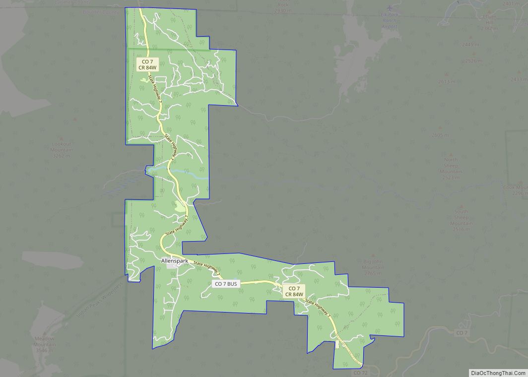
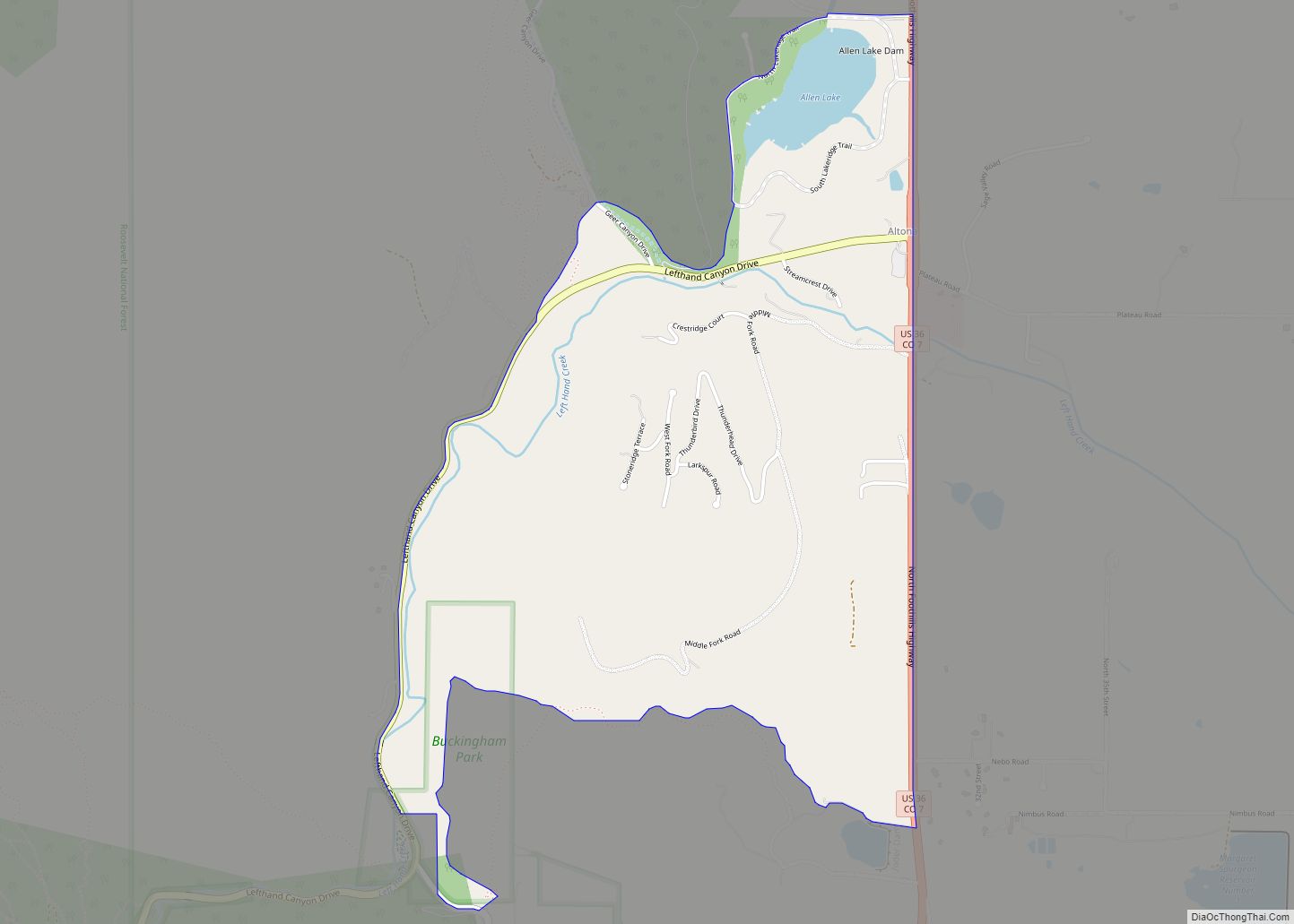
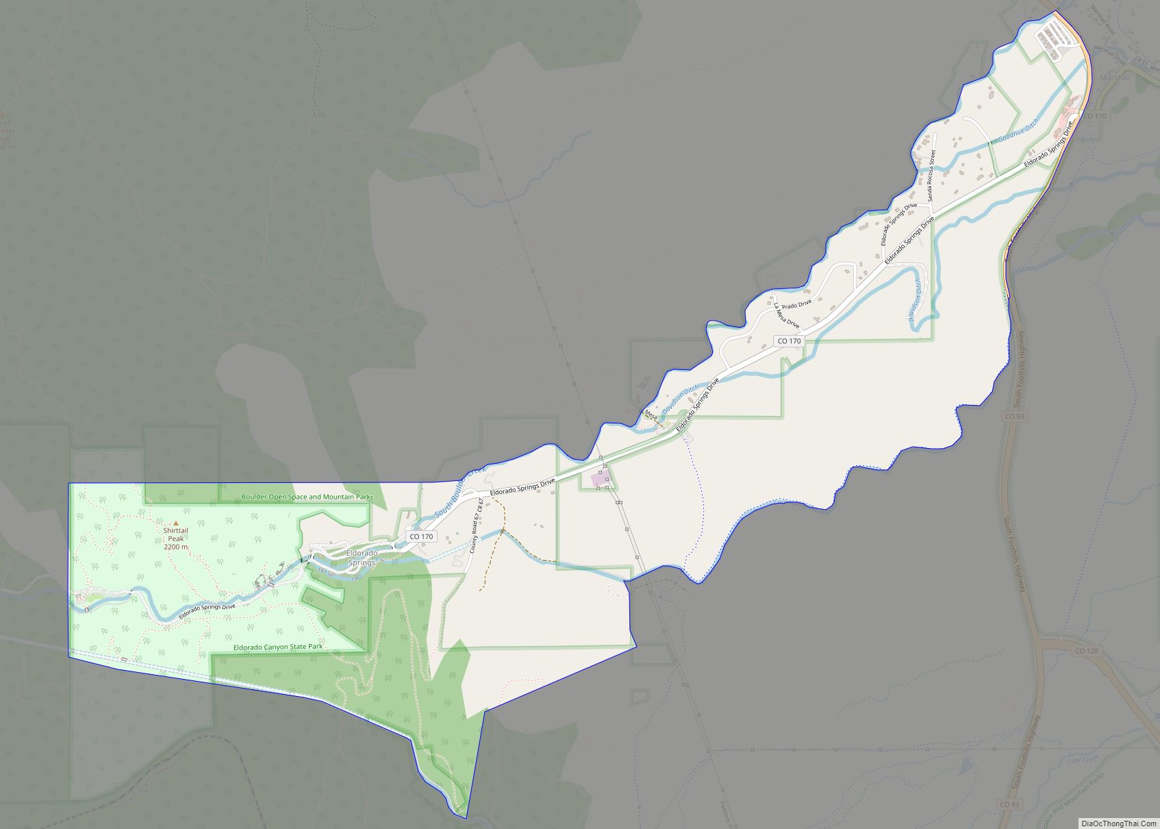
Leyner Road Map
Leyner city Satellite Map
Geography
Leyner is located in eastern Boulder County along the west side of U.S. Route 287, 4 miles (6 km) north of Lafayette. Boulder Creek forms the northern edge of the CDP.
The Leyner CDP has an area of 151 acres (0.612 km), including 26 acres (0.106 km) of water.
See also
Map of Colorado State and its subdivision:- Adams
- Alamosa
- Arapahoe
- Archuleta
- Baca
- Bent
- Boulder
- Broomfield
- Chaffee
- Cheyenne
- Clear Creek
- Conejos
- Costilla
- Crowley
- Custer
- Delta
- Denver
- Dolores
- Douglas
- Eagle
- El Paso
- Elbert
- Fremont
- Garfield
- Gilpin
- Grand
- Gunnison
- Hinsdale
- Huerfano
- Jackson
- Jefferson
- Kiowa
- Kit Carson
- La Plata
- Lake
- Larimer
- Las Animas
- Lincoln
- Logan
- Mesa
- Mineral
- Moffat
- Montezuma
- Montrose
- Morgan
- Otero
- Ouray
- Park
- Phillips
- Pitkin
- Prowers
- Pueblo
- Rio Blanco
- Rio Grande
- Routt
- Saguache
- San Juan
- San Miguel
- Sedgwick
- Summit
- Teller
- Washington
- Weld
- Yuma
- Alabama
- Alaska
- Arizona
- Arkansas
- California
- Colorado
- Connecticut
- Delaware
- District of Columbia
- Florida
- Georgia
- Hawaii
- Idaho
- Illinois
- Indiana
- Iowa
- Kansas
- Kentucky
- Louisiana
- Maine
- Maryland
- Massachusetts
- Michigan
- Minnesota
- Mississippi
- Missouri
- Montana
- Nebraska
- Nevada
- New Hampshire
- New Jersey
- New Mexico
- New York
- North Carolina
- North Dakota
- Ohio
- Oklahoma
- Oregon
- Pennsylvania
- Rhode Island
- South Carolina
- South Dakota
- Tennessee
- Texas
- Utah
- Vermont
- Virginia
- Washington
- West Virginia
- Wisconsin
- Wyoming
