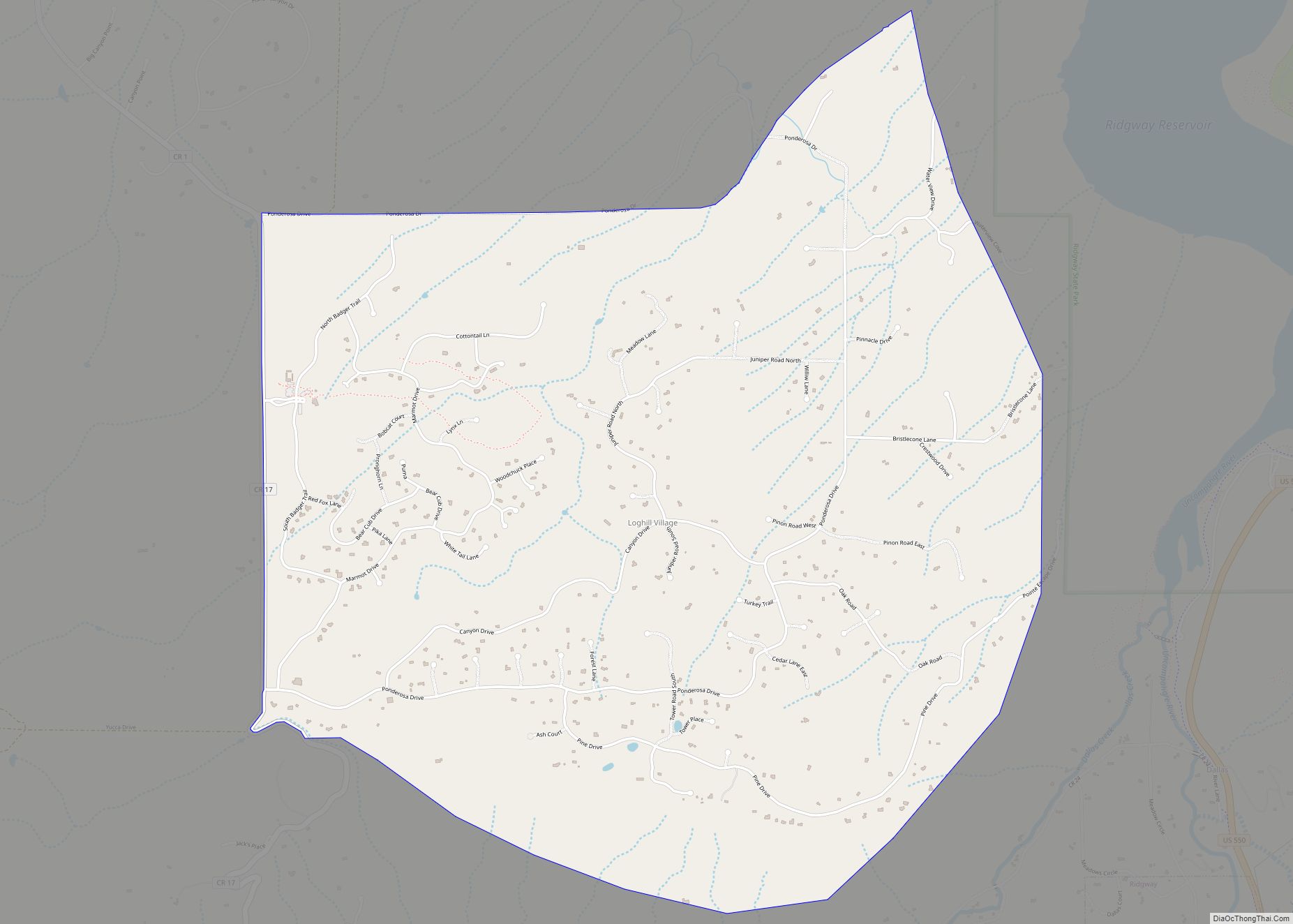
Loghill Village is a Census-designated place (CDP) in and governed by Ouray County, Colorado, United States. The CDP is a part of the Montrose, CO Micropolitan Statistical Area. The population of the Loghill Village CDP was 617 at the United States Census 2020. The Ridgway post office (Zip Code 81432) serves Loghill Village postal addresses.
| Name: | Loghill Village CDP |
|---|---|
| LSAD Code: | 57 |
| LSAD Description: | CDP (suffix) |
| State: | Colorado |
| County: | Ouray County |
| Elevation: | 7,874 ft (2,400 m) |
| Total Area: | 6.129 sq mi (15.874 km²) |
| Land Area: | 6.129 sq mi (15.874 km²) |
| Water Area: | 0.000 sq mi (0.000 km²) |
| Total Population: | 617 |
| Population Density: | 100/sq mi (39/km²) |
| ZIP code: | 81432 |
| Area code: | 970 |
| FIPS code: | 0845680 |
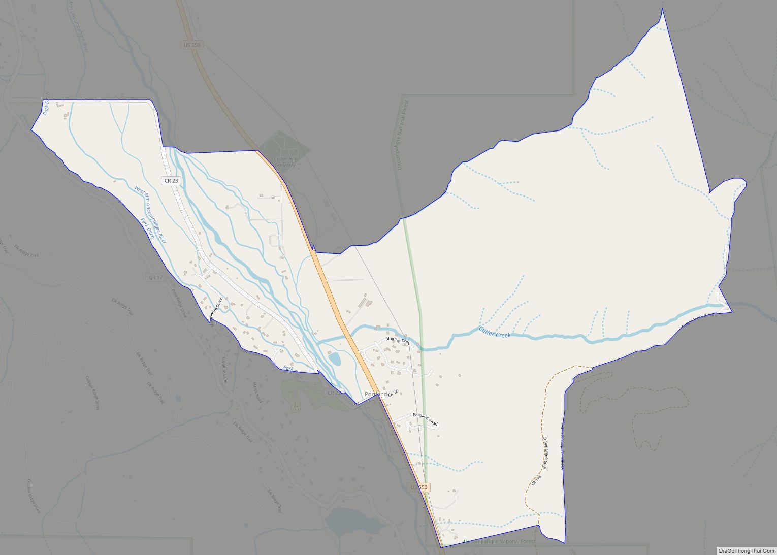
Online Interactive Map
Click on ![]() to view map in "full screen" mode.
to view map in "full screen" mode.
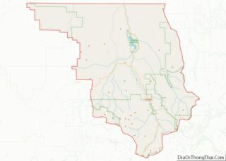
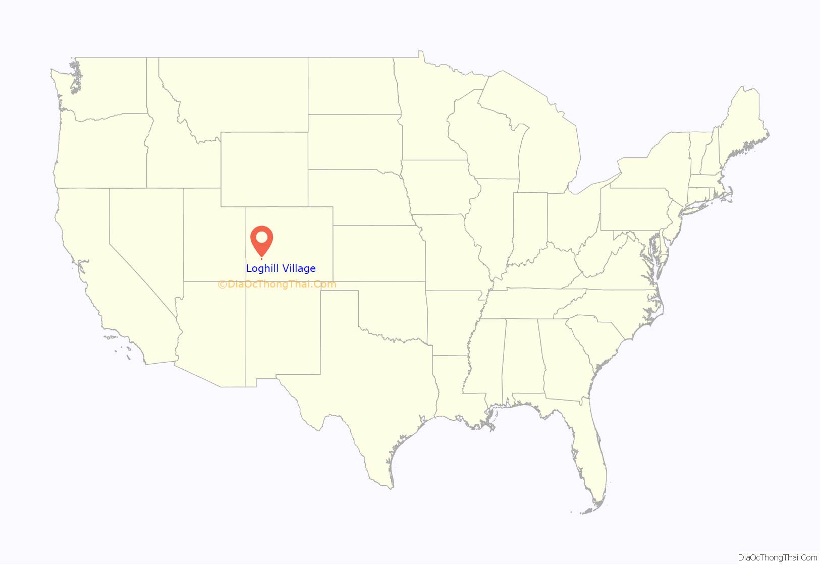
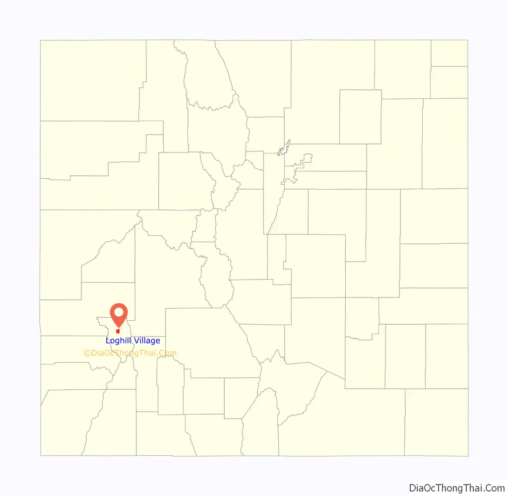
Loghill Village location map. Where is Loghill Village CDP?
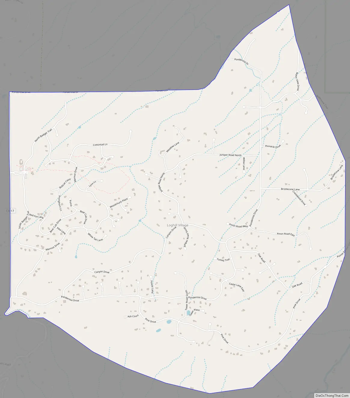
Loghill Village Road Map
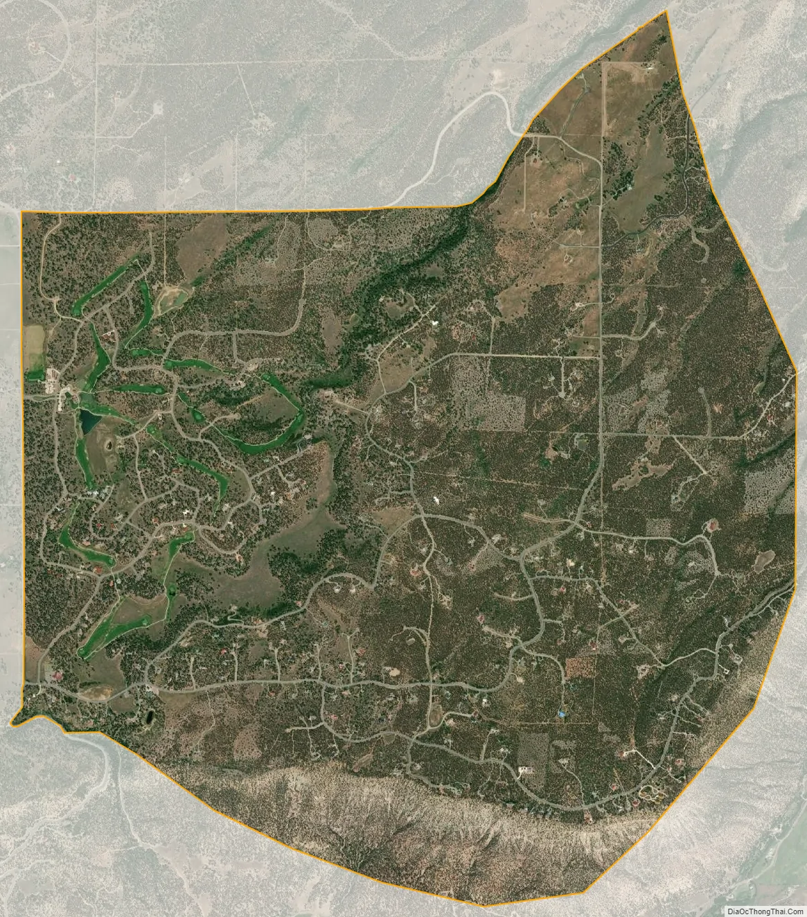
Loghill Village city Satellite Map
Geography
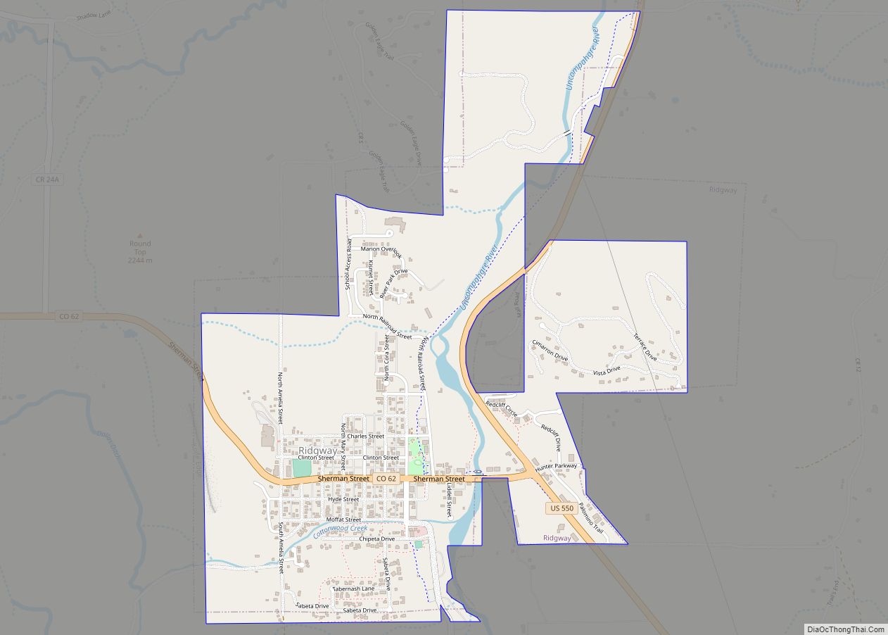
Loghill Village is located on Log Hill Mesa north of the town of Ridgway and northeast of Pleasant Valley. Loghill Village borders Ridgway State Park and Eldredge, though there is no direct road access between the two. Via road, Loghill Village is nearest to the town of Ridgway which can be seen from its position on the mesa.
Loghill is primarily covered in large Ponderosa Pine trees, piñons and junipers. Wildlife is abundant on the Mesa with a fairly large population of Mule Deer, Elk, Bobcats, Lynxes, Black Bears (of various colors), wild turkeys and an occasional sighting of mountain lions. Almost 1,000 feet higher than Ridgway, the types and sizes of flora vary greatly. For example, Aspen trees are seen here and there on the mesa, as opposed to the lower Ridgway valley where they are scarce. Aspens can be seen more abundantly in the foothills and mid mountain areas of the San Juan Mountains and Cimarrons.
The Loghill Village CDP has an area of 3,923 acres (15.874 km), all land.
See also
Map of Colorado State and its subdivision:- Adams
- Alamosa
- Arapahoe
- Archuleta
- Baca
- Bent
- Boulder
- Broomfield
- Chaffee
- Cheyenne
- Clear Creek
- Conejos
- Costilla
- Crowley
- Custer
- Delta
- Denver
- Dolores
- Douglas
- Eagle
- El Paso
- Elbert
- Fremont
- Garfield
- Gilpin
- Grand
- Gunnison
- Hinsdale
- Huerfano
- Jackson
- Jefferson
- Kiowa
- Kit Carson
- La Plata
- Lake
- Larimer
- Las Animas
- Lincoln
- Logan
- Mesa
- Mineral
- Moffat
- Montezuma
- Montrose
- Morgan
- Otero
- Ouray
- Park
- Phillips
- Pitkin
- Prowers
- Pueblo
- Rio Blanco
- Rio Grande
- Routt
- Saguache
- San Juan
- San Miguel
- Sedgwick
- Summit
- Teller
- Washington
- Weld
- Yuma
- Alabama
- Alaska
- Arizona
- Arkansas
- California
- Colorado
- Connecticut
- Delaware
- District of Columbia
- Florida
- Georgia
- Hawaii
- Idaho
- Illinois
- Indiana
- Iowa
- Kansas
- Kentucky
- Louisiana
- Maine
- Maryland
- Massachusetts
- Michigan
- Minnesota
- Mississippi
- Missouri
- Montana
- Nebraska
- Nevada
- New Hampshire
- New Jersey
- New Mexico
- New York
- North Carolina
- North Dakota
- Ohio
- Oklahoma
- Oregon
- Pennsylvania
- Rhode Island
- South Carolina
- South Dakota
- Tennessee
- Texas
- Utah
- Vermont
- Virginia
- Washington
- West Virginia
- Wisconsin
- Wyoming