The City of Louisville (/ˈluːɪsvɪl/) is a home rule municipality located in southeastern Boulder County, Colorado, United States. The city population was 21,226 at the 2020 United States Census. Louisville began as a mining community in 1877, experienced a period of labor violence early in the 20th century, and transitioned to a suburban residential community when the mines closed in the 1950s.
| Name: | Louisville city |
|---|---|
| LSAD Code: | 25 |
| LSAD Description: | city (suffix) |
| State: | Colorado |
| County: | Boulder County |
| Incorporated: | June 3, 1882 |
| Elevation: | 5,338 ft (1,627 m) |
| Total Area: | 8.06 sq mi (20.89 km²) |
| Land Area: | 7.95 sq mi (20.60 km²) |
| Water Area: | 0.11 sq mi (0.29 km²) |
| Total Population: | 21,226 |
| Population Density: | 2,600/sq mi (1,000/km²) |
| ZIP code: | 80027-80028 |
| Area code: | 303, 720 |
| FIPS code: | 0846355 |
| GNISfeature ID: | 0181261 |
| Website: | www.louisvilleco.gov |
Online Interactive Map
Click on ![]() to view map in "full screen" mode.
to view map in "full screen" mode.
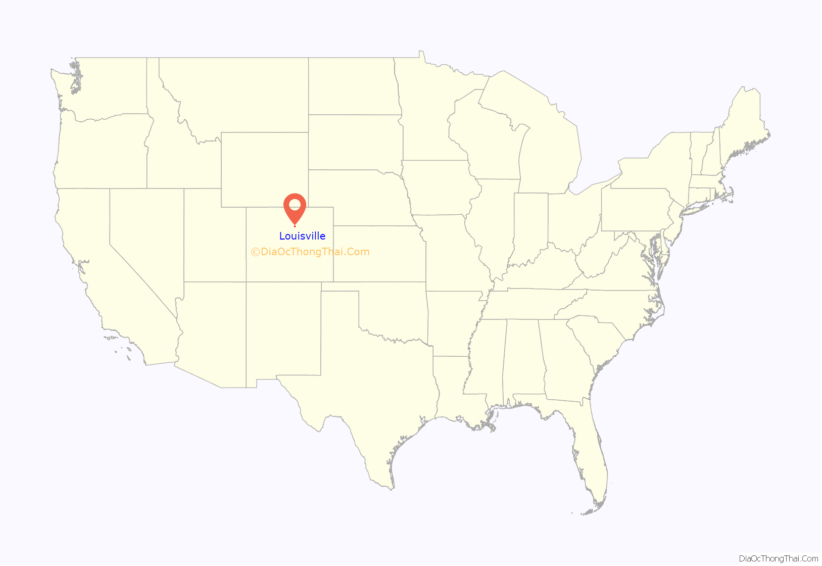
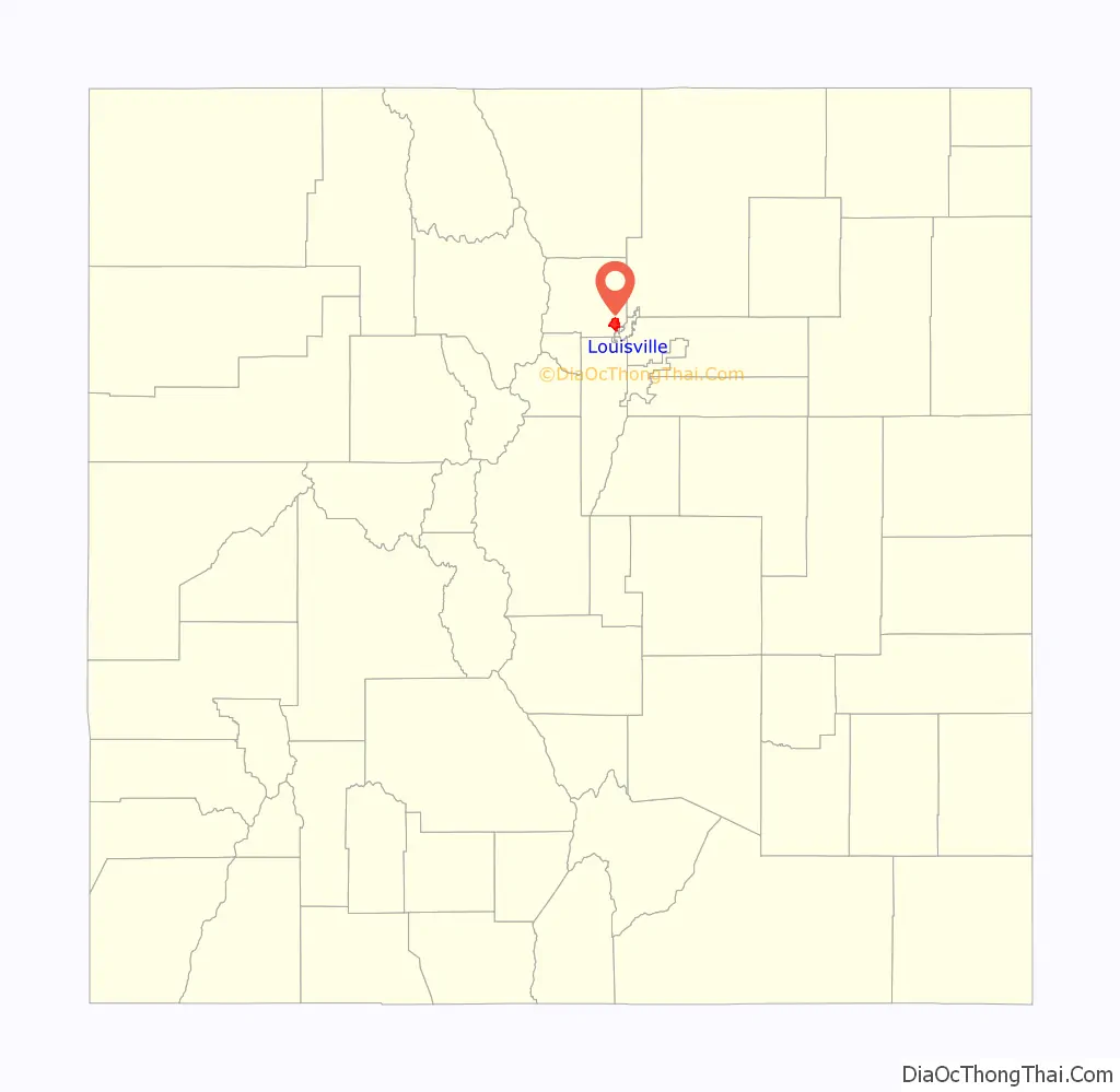
Louisville location map. Where is Louisville city?
History
The town of Louisville dates back to the start of the Welch Mine in 1877, the first coal mine in an area of Boulder and Weld counties known as the Northern Coalfield. The town was named for Louis Nawatny, a local landowner who platted his land and named it for himself. Incorporation came several years later in 1882.
The Northern Coalfield proved to be highly productive, and eventually, some 30 different mines operated within the current boundaries of Louisville, though not all at the same time. During the years of peak production (1907–09), 12 mines were in operation in Louisville, including the Acme Mine whose two million tons of coal came from directly beneath the center of town. The presence of many independent mining companies in Louisville saved the town from becoming a “company town”, wholly owned and dominated by a single mining company.
Coal from the Northern Coalfield was sub-bituminous (low grade) and could not be transported long distances because of problems with self-combustion. Mining generally took place in the winter months since that was the period that demanded fuel for heating. During the summers, the miners played in local baseball leagues, with the home field named “Miners Field”.
A great deal of mythology has arisen around the stories of tunnels that connected saloons throughout the city, but these have proven to be unfounded and undocumented. Instead, during labor conflicts, many citizens found refuge in dirt basements to avoid errant bullets being fired from mine compounds into the city. From 1910 to 1914, the Northern Colorado Coalfields were in the midst of a strike by the United Mine Workers and the Rocky Mountain Fuel Company based on working conditions, pay, and working hours. When miners walked out on the Hecla Mine northeast of Louisville, the company hired the Baldwin–Felts Detective Agency to guard the mine compound. A machine gun and spotlight were placed in a tower on the Hecla property, and when miners took out their frustration by shooting their guns at the compound, the detectives responded by returning their fire by randomly firing at the town. The northernmost engagement of the Colorado Coalfield War occurred in Louisville between a small contingent of Colorado National Guard and Baldwin-Felts, led by Captain Hildreth Frost against strikers following the Ludlow Massacre in April 1914.
Eventually, the coal remaining in the Northern Coalfield became increasingly uneconomical to mine, and the last coal mines operating in Louisville closed in the 1950s.
In 2001, the city changed from a statutory city and became a home rule city. The home rule debate came about when Xcel Energy announced plans to replace old power line poles with much larger steel towers. While the city wanted the power lines to be buried, it discovered it lacked the authority to force Xcel to do this or even to create a taxing district to fund such.
Marshall Fire
In late December 2021, the Marshall Fire raged through the parched lands near Boulder, Colorado. Marshall Fire is the most destructive in Colorado’s history. The fire impacted City of Louisville, City of Superior and unincorporated Boulder County areas. Within Louisville, 553 homes were destroyed with an additional 45 damaged. Over 21,000 people in Louisville and 13,000 in Superior were ultimately evacuated while the fire was spreading due to unusual 100-mile-per-hour winds. Additionally, one person died and another is missing and presumed dead. The cause of the fire has not been officially announced, pending an investigation. However, an incident report filed by a ranger with Boulder Open Space and Mountain Parks identified two ignition points for the fire. The first ignition point was a shed that began to burn at approximately 11:30AM MST, 30 December 2021. The second ignition point was upwind from the first, and started around noon of the same day on “western side of the Marshall Mesa trailhead.”
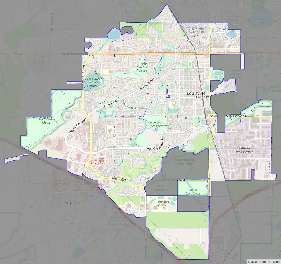
Louisville Road Map
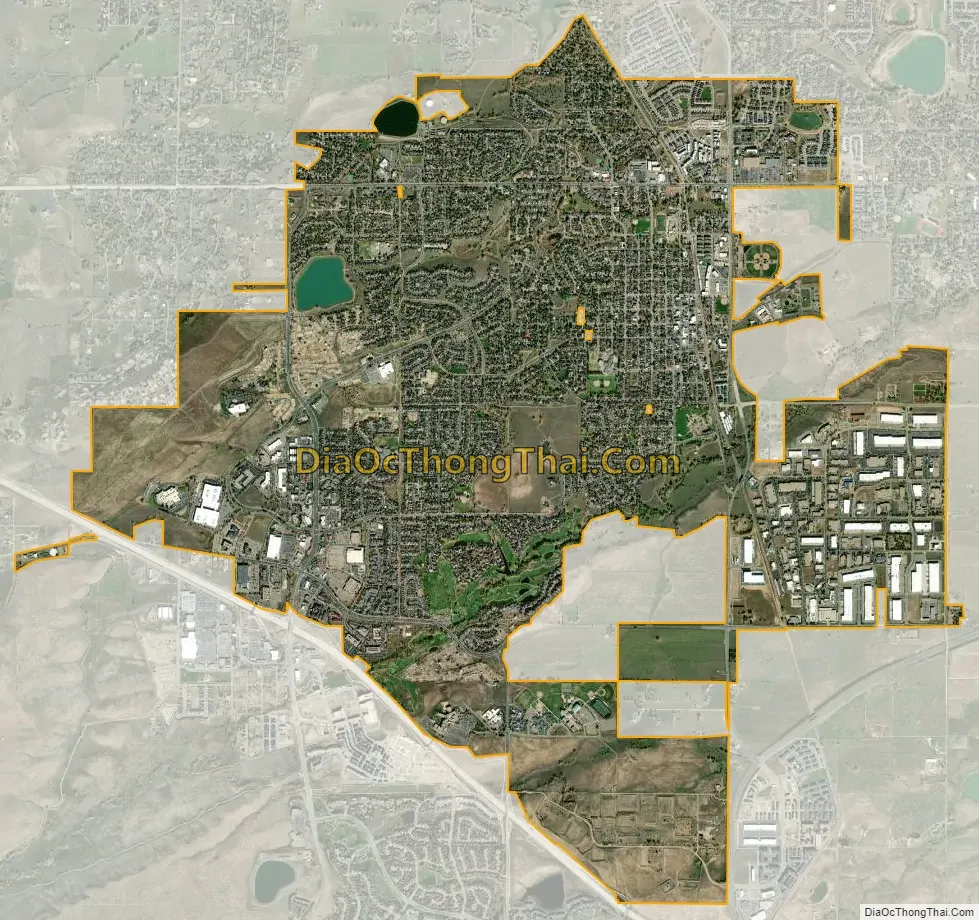
Louisville city Satellite Map
Geography
Louisville is located in southeastern Boulder County. U.S. Highway 36 (the Denver-Boulder Turnpike) forms the southwest border of the city.
According to the United States Census Bureau, the city has a total area of 8.0 square miles (20.7 km), of which 7.9 square miles (20.4 km) is land and 0.12 square miles (0.3 km), or 1.35%, is water.
See also
Map of Colorado State and its subdivision:- Adams
- Alamosa
- Arapahoe
- Archuleta
- Baca
- Bent
- Boulder
- Broomfield
- Chaffee
- Cheyenne
- Clear Creek
- Conejos
- Costilla
- Crowley
- Custer
- Delta
- Denver
- Dolores
- Douglas
- Eagle
- El Paso
- Elbert
- Fremont
- Garfield
- Gilpin
- Grand
- Gunnison
- Hinsdale
- Huerfano
- Jackson
- Jefferson
- Kiowa
- Kit Carson
- La Plata
- Lake
- Larimer
- Las Animas
- Lincoln
- Logan
- Mesa
- Mineral
- Moffat
- Montezuma
- Montrose
- Morgan
- Otero
- Ouray
- Park
- Phillips
- Pitkin
- Prowers
- Pueblo
- Rio Blanco
- Rio Grande
- Routt
- Saguache
- San Juan
- San Miguel
- Sedgwick
- Summit
- Teller
- Washington
- Weld
- Yuma
- Alabama
- Alaska
- Arizona
- Arkansas
- California
- Colorado
- Connecticut
- Delaware
- District of Columbia
- Florida
- Georgia
- Hawaii
- Idaho
- Illinois
- Indiana
- Iowa
- Kansas
- Kentucky
- Louisiana
- Maine
- Maryland
- Massachusetts
- Michigan
- Minnesota
- Mississippi
- Missouri
- Montana
- Nebraska
- Nevada
- New Hampshire
- New Jersey
- New Mexico
- New York
- North Carolina
- North Dakota
- Ohio
- Oklahoma
- Oregon
- Pennsylvania
- Rhode Island
- South Carolina
- South Dakota
- Tennessee
- Texas
- Utah
- Vermont
- Virginia
- Washington
- West Virginia
- Wisconsin
- Wyoming


