The Town of Lyons is a Statutory Town in Boulder County, Colorado, United States. The town population was 2033 at the 2010 United States Census, up from 1585 at the 2000 United States Census. Lyons is located at the confluence of North St. Vrain Creek and South St. Vrain Creek, 20 miles (32 km) east of Rocky Mountain National Park. Due to its location at the intersection of State Highway 7 and U.S. Highway 36 which lead to Rocky Mountain National Park, it is sometimes referred to as “The Double Gateway to the Rockies”.
| Name: | Lyons town |
|---|---|
| LSAD Code: | 43 |
| LSAD Description: | town (suffix) |
| State: | Colorado |
| County: | Boulder County |
| Founded: | 1880 |
| Elevation: | 5,364 ft (1,635 m) |
| Total Area: | 1.36 sq mi (3.53 km²) |
| Land Area: | 1.35 sq mi (3.49 km²) |
| Water Area: | 0.01 sq mi (0.04 km²) |
| Total Population: | 2,033 |
| Population Density: | 1,626.30/sq mi (627.78/km²) |
| ZIP code: | 80540 |
| Area code: | 303 & 720 |
| FIPS code: | 0847070 |
| GNISfeature ID: | 0178311 |
| Website: | www.townoflyons.com |
Online Interactive Map
Click on ![]() to view map in "full screen" mode.
to view map in "full screen" mode.
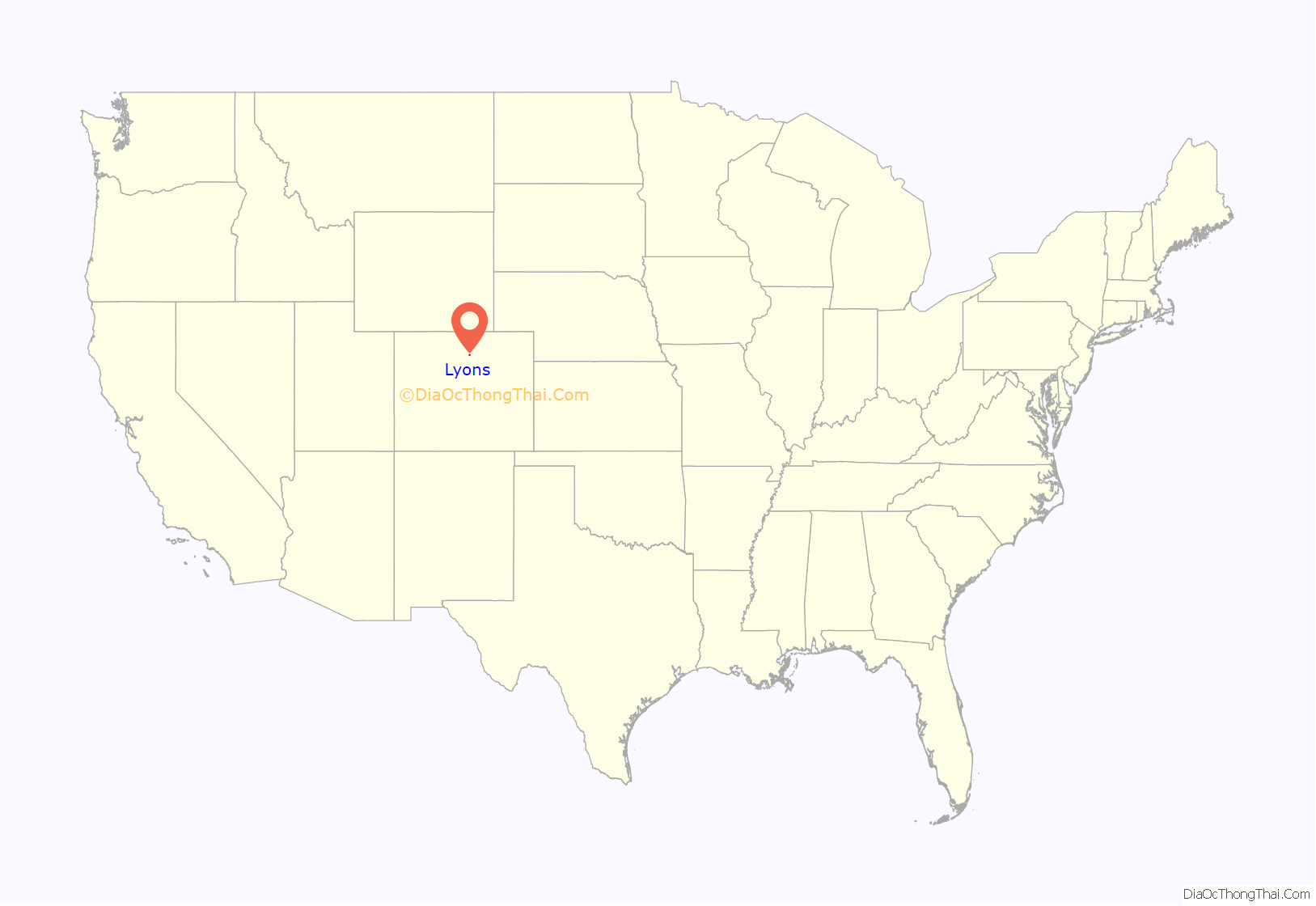
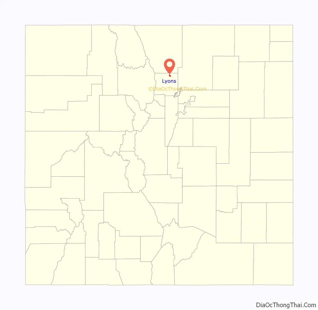
Lyons location map. Where is Lyons town?
History
In the 17th century, the Ute Nation came to Colorado. The largest tribes that followed were the Cheyenne, Arapaho, and Comanche, along with the Pawnee occasionally. The Utes were the last tribe to be forced into Indian reservations after the Colorado Gold Rush. The Utes were the only tribe that extensively explored the mountains and Lyons area. The Plains Indians were attracted to the vast grasslands where it was ideal for hunting bison.
In the 1860s, families came from the eastern United States and settled the foothills with their ranches and farms. The town of Lyons was founded in 1880 by Edward S. Lyon. He purchased 160 acres (0.6 km) from H.F. and Isabelle Sawyer, noticing the potential to quarry out the red sandstone outcroppings which offered easy quarrying access in the region. Lyon platted the town in 1881; it was incorporated in 1891. No record survives to account for the added “s” at the end of the town’s name.
The first main building to be built was the red sandstone schoolhouse in 1881. The booming population resulted in the town adding a second floor a few years later. It was also used for church and town meetings until 1894 when the Old Stone Church was built. In 1979, it was saved from demolition and converted into the town’s history museum by the Lyons Historical Society.
The town has large red sandstone mountains on three sides. Its rock, from the Permian period, about 260 million years ago, is considered the hardest sandstone in the world, and has a unique red or salmon color. While E. S. Lyon established the quarrying business in the town, his business was not a big success, and he left for California. Numerous owners succeeded him and developed various successful quarries over time. Murphy, Brodie, Ohline, Loukonen and Vasquez are among the most noteworthy owners. The Denver, Utah and Pacific Railroad laid narrow gauge tracks into Lyons in 1884 to serve the quarries.
In 1910-12 the cement industry killed the sandstone industry, and rock production stopped. The only sandstone construction that went on during this period was the University of Colorado’s new unified campus. The sandstone business was revived in the 1930s when the red sandstone started to be used more as a decorative rock than for commercial purposes. Today it is a booming industry, with sandstone shipped worldwide.
On September 12, 2013, the town of Lyons was severely affected by flooding. All access routes to the town were blocked, and sewer and fresh water service was disrupted. The National Guard began evacuating the entire town of Lyons on September 12 at daybreak. While many mountain residents had to be evacuated by Chinook helicopter, the town’s residents were able to drive out in their own vehicles, as the main road through town, Highway 36, was not completely washed out.
Historic buildings
The town is active in history preservation. The Lyons Historical Society, formed in 1976, helped preserve the 1881 schoolhouse (now the Lyons Redstone Museum) and the train depot (now municipal offices). It has recorded video interviews of its pioneer families and published four books on the town’s history and five books on pioneer family histories. Lyons has a Designated Historic District, with fifteen sandstone structures which are listed in the National Register of Historic Places. These were all constructed of native stone by master craftsmen between the early 1870s and 1917. They include commercial, residential and public buildings:
- Griff Evans Homestead (1870) – Now the site of Rocky Grass and Folks Festivals
- 480 Seward St. (1890) – Chisholm/Truebood Home
- 413 Seward St. (1890) – Cunningham/Weese Home
- 409 Seward St. (1890) – Montgomery Home
- 426 High St. (1884) – Lyons General Store, now Ralston Bros. Antiques
- NW Corner 4th and High Streets (1894) – Old Stone Congregational Church
- NE Corner 4th & High Streets (1881) – Lyons School. Now Redstone Museum
- 427 High St. (1890s) – Dynamite storage building
- 450 Main St. (1881) – McAllister Saloon/Frank Market, now Lyons Fork
- 415 Main St. (1890) – General Store/Kandy Kitchen, now South Creek Ltd.
- 401 Main St.(1917) – Turner Stevens Building, now Art Bank
- 5th & Broadway (1881) – Train Depot, Horse Water Tank (1897)
- S. St. Vrain (1870) – Bradford Homestead, 330 Bradford Street, privately owned
- 1/2 Mi. E. on Hwy. 66 (1885) – Sites Milkhouse, now C. Shepard Gallery
- 3 Mi. E on Hwy. 66 (1917) – Montgomery School, now M. Weston home
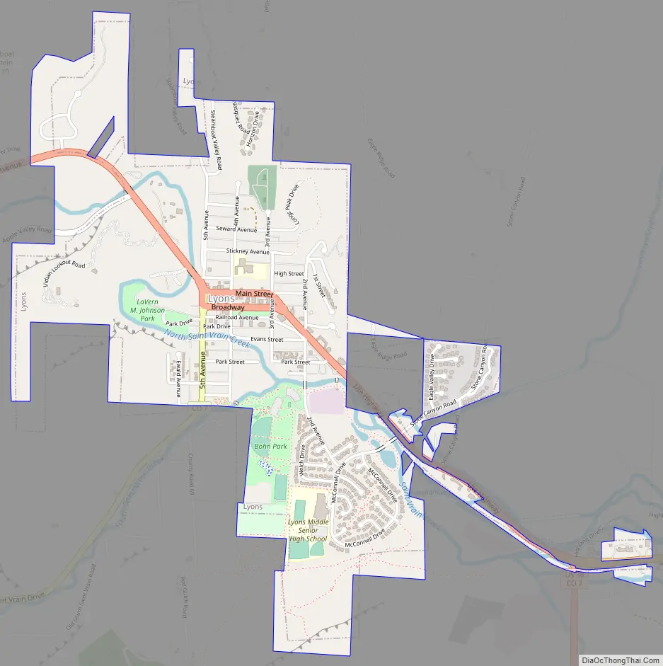
Lyons Road Map
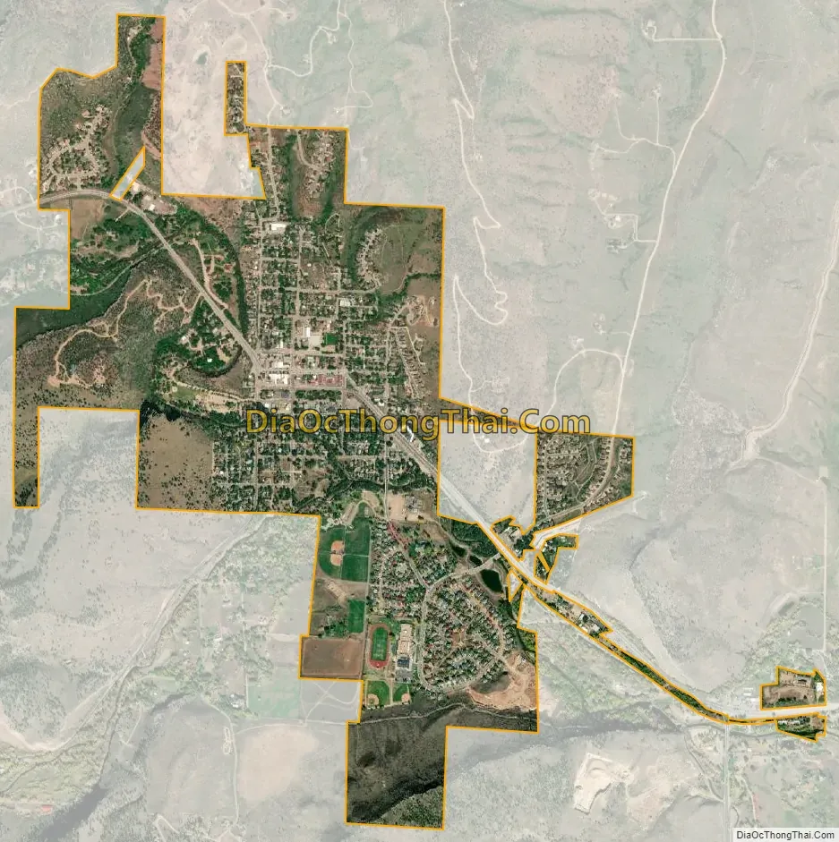
Lyons city Satellite Map
Geography
Lyons is located in northern Boulder County at 40°13′26″N 105°16′8″W / 40.22389°N 105.26889°W / 40.22389; -105.26889 (40.223935, -105.269013).
According to the United States Census Bureau, the town has a total area of 1.2 square miles (3.2 km), of which 0.015 square miles (0.04 km), or 1.30%, is water, consisting of St. Vrain Creek and its branches.
See also
Map of Colorado State and its subdivision:- Adams
- Alamosa
- Arapahoe
- Archuleta
- Baca
- Bent
- Boulder
- Broomfield
- Chaffee
- Cheyenne
- Clear Creek
- Conejos
- Costilla
- Crowley
- Custer
- Delta
- Denver
- Dolores
- Douglas
- Eagle
- El Paso
- Elbert
- Fremont
- Garfield
- Gilpin
- Grand
- Gunnison
- Hinsdale
- Huerfano
- Jackson
- Jefferson
- Kiowa
- Kit Carson
- La Plata
- Lake
- Larimer
- Las Animas
- Lincoln
- Logan
- Mesa
- Mineral
- Moffat
- Montezuma
- Montrose
- Morgan
- Otero
- Ouray
- Park
- Phillips
- Pitkin
- Prowers
- Pueblo
- Rio Blanco
- Rio Grande
- Routt
- Saguache
- San Juan
- San Miguel
- Sedgwick
- Summit
- Teller
- Washington
- Weld
- Yuma
- Alabama
- Alaska
- Arizona
- Arkansas
- California
- Colorado
- Connecticut
- Delaware
- District of Columbia
- Florida
- Georgia
- Hawaii
- Idaho
- Illinois
- Indiana
- Iowa
- Kansas
- Kentucky
- Louisiana
- Maine
- Maryland
- Massachusetts
- Michigan
- Minnesota
- Mississippi
- Missouri
- Montana
- Nebraska
- Nevada
- New Hampshire
- New Jersey
- New Mexico
- New York
- North Carolina
- North Dakota
- Ohio
- Oklahoma
- Oregon
- Pennsylvania
- Rhode Island
- South Carolina
- South Dakota
- Tennessee
- Texas
- Utah
- Vermont
- Virginia
- Washington
- West Virginia
- Wisconsin
- Wyoming


