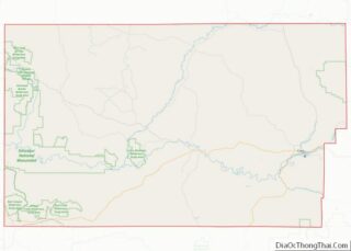
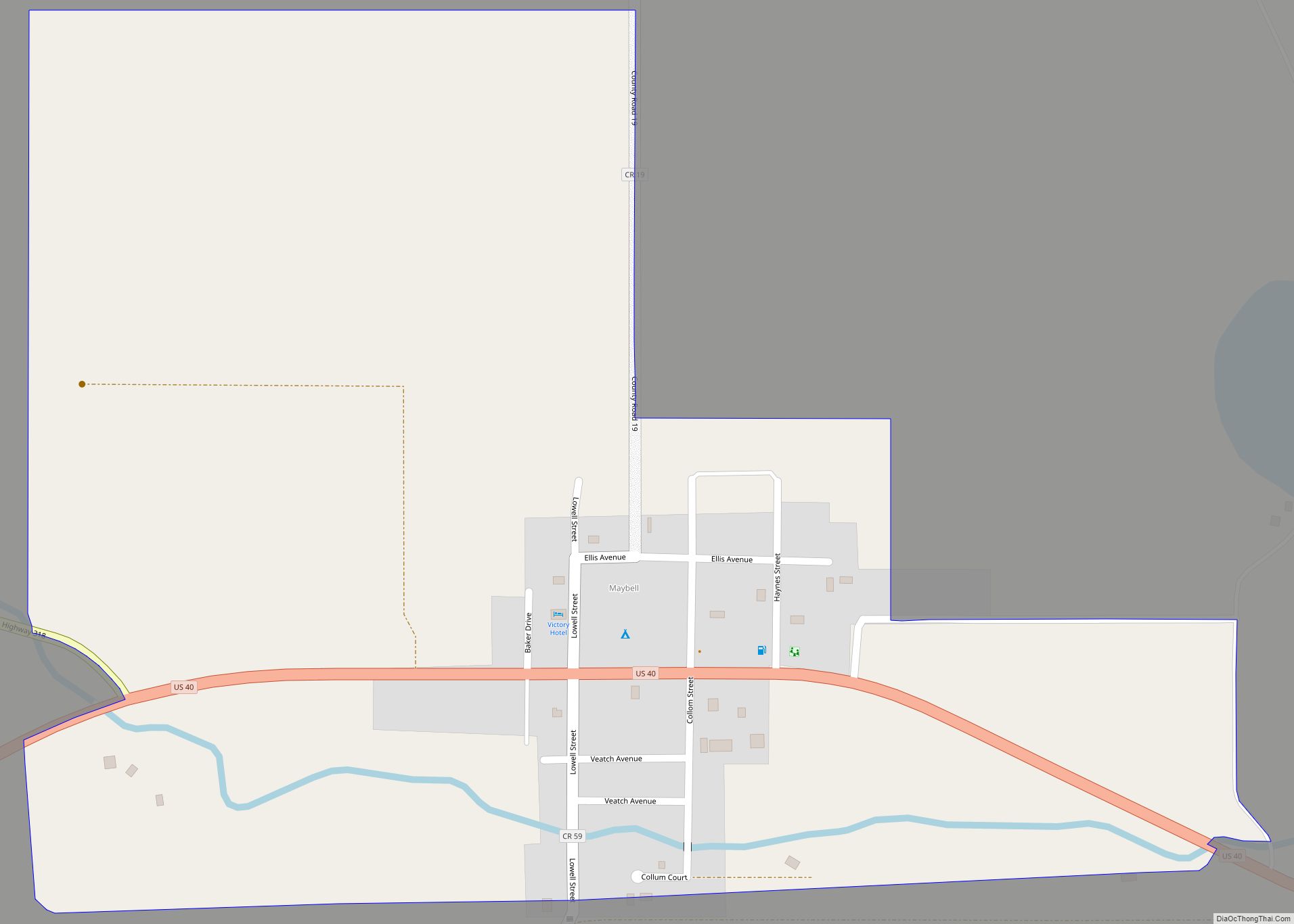
Maybell is an unincorporated community and census-designated place (CDP) in and governed by Moffat County, Colorado, United States. The CDP is a part of the Craig, CO Micropolitan Statistical Area.
The Maybell post office has the ZIP Code 81640. At the 2020 census, the population of the Maybell CDP was 76. The coldest ambient air temperature ever recorded in the state of Colorado was −61 °F (−52 °C) at Maybell on February 1, 1985.
| Name: | Maybell CDP |
|---|---|
| LSAD Code: | 57 |
| LSAD Description: | CDP (suffix) |
| State: | Colorado |
| County: | Moffat County |
| Elevation: | 5,922 ft (1,805 m) |
| Total Area: | 0.525 sq mi (1.36 km²) |
| Land Area: | 0.525 sq mi (1.36 km²) |
| Water Area: | 0.0 sq mi (0 km²) |
| Total Population: | 76 |
| Population Density: | 144.8/sq mi (55.9/km²) |
| ZIP code: | 81640 |
| Area code: | 970 |
| FIPS code: | 0849325 |
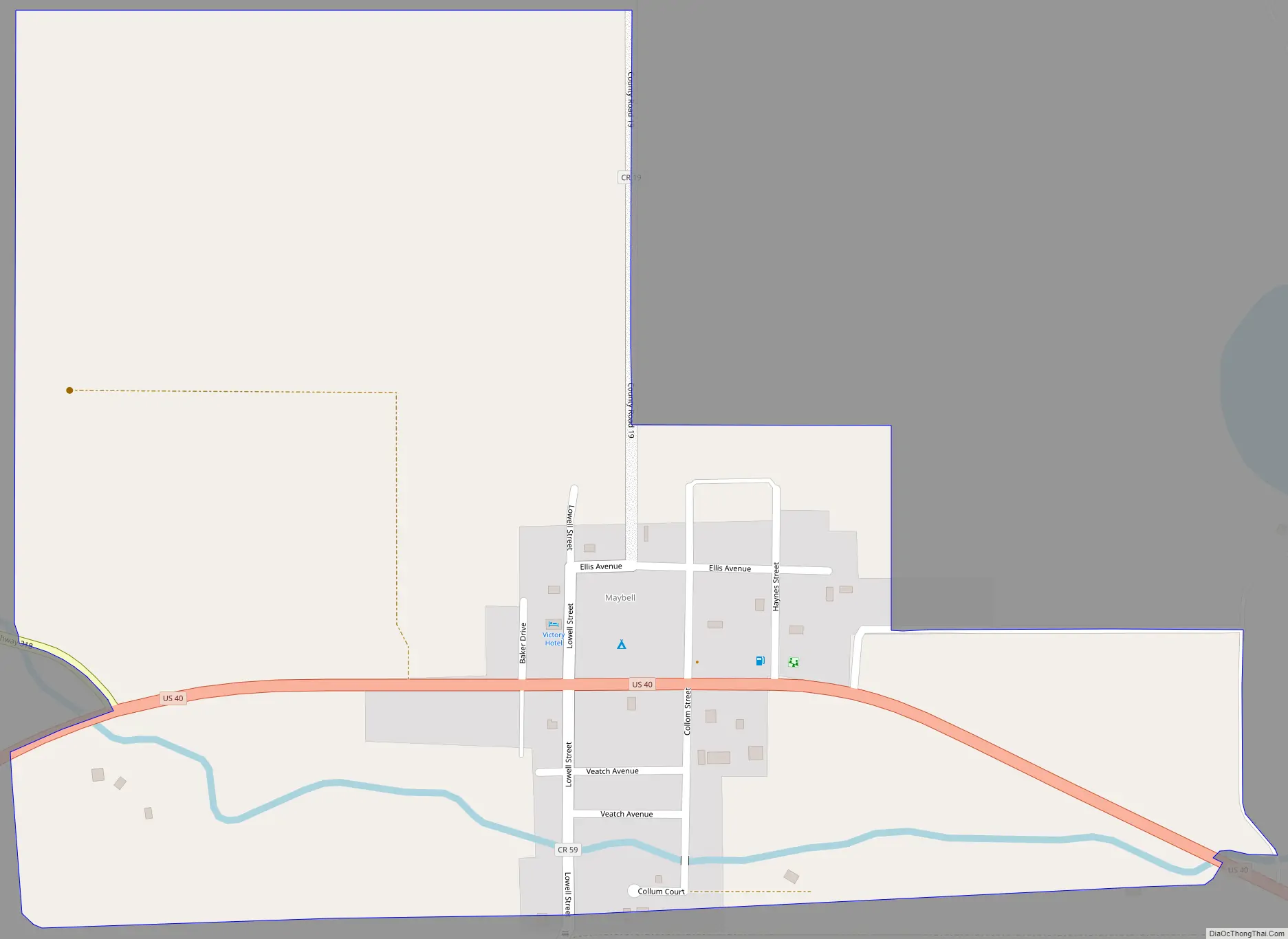
Online Interactive Map
Click on ![]() to view map in "full screen" mode.
to view map in "full screen" mode.
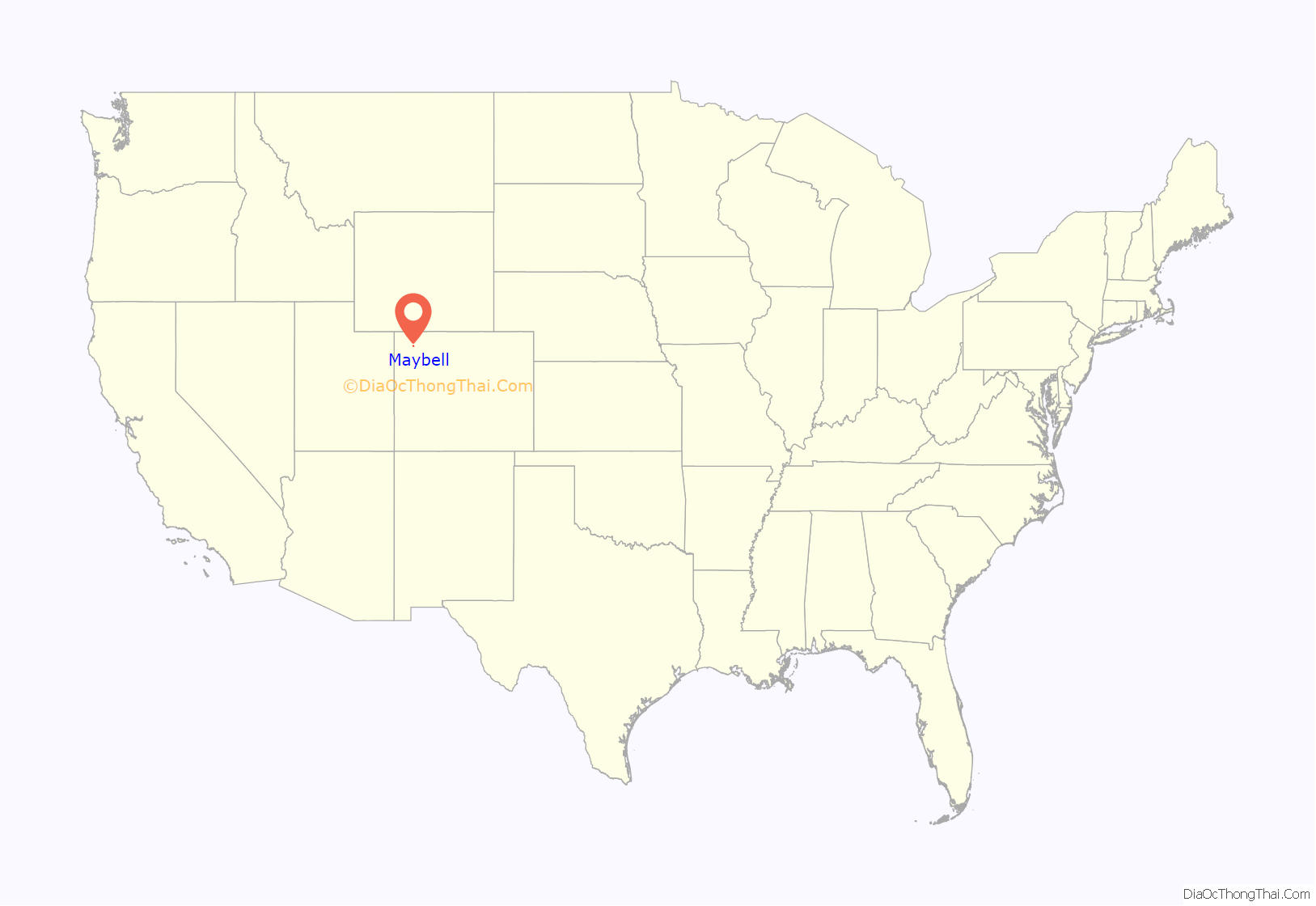
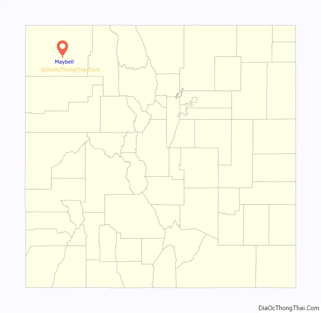
Maybell location map. Where is Maybell CDP?
History
The village, founded in the 1880s, was named after May Bell, the wife of a local cattleman. It currently consists of a meat processing plant, general store with gas pumps, a garage, an elementary school, a residential hotel, a restaurant, a post office, and housing. The post office, in operation since 1884, serves the ZIP code 81640.
Maybell Road Map
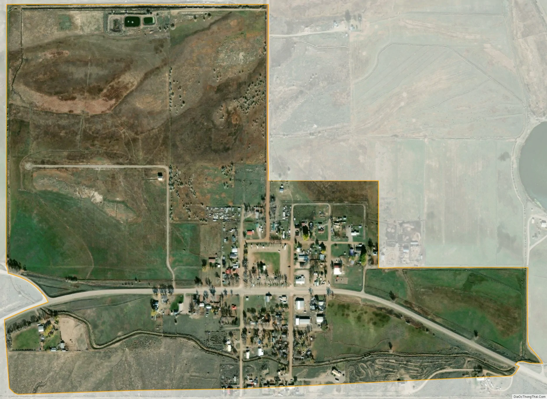
Maybell city Satellite Map
Geography
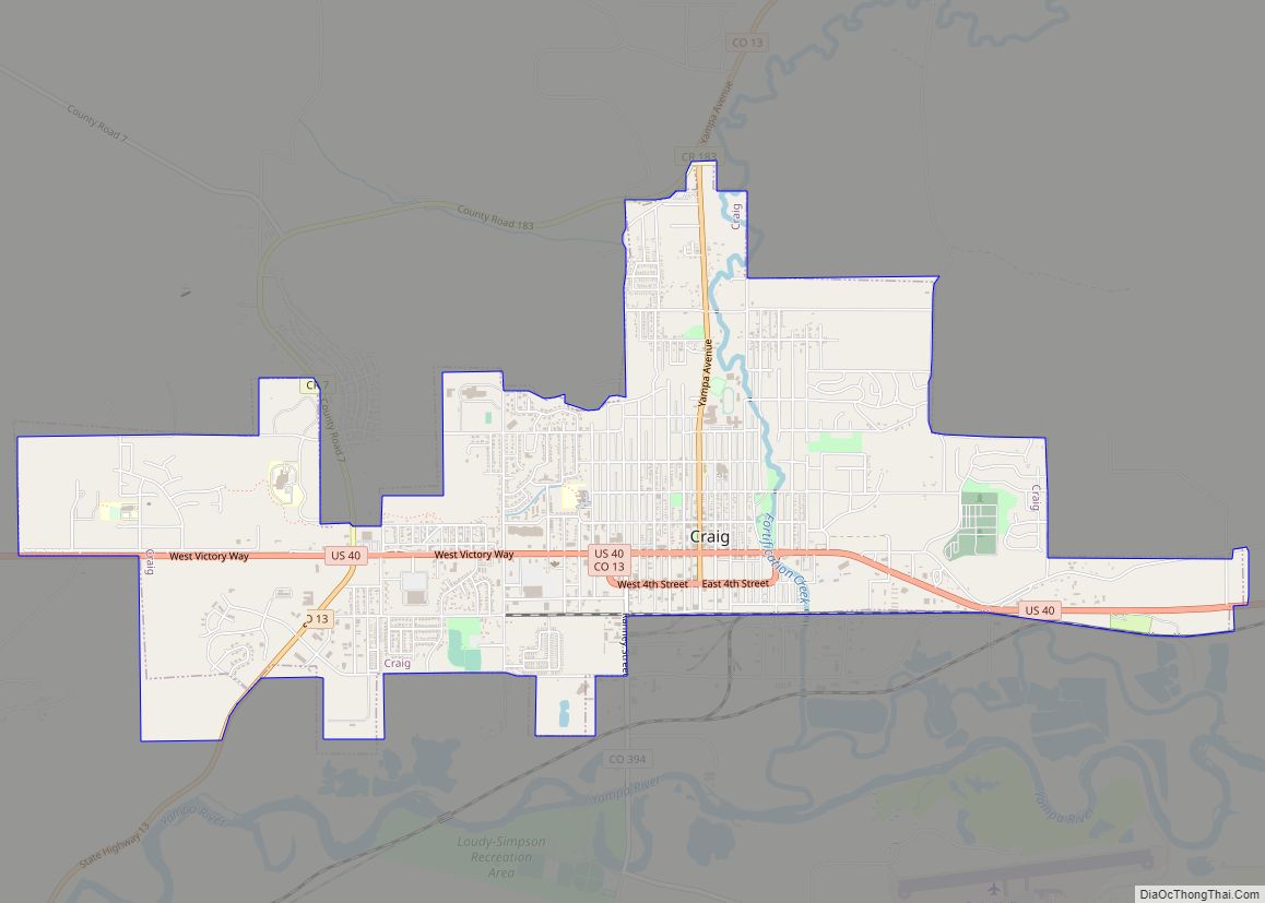
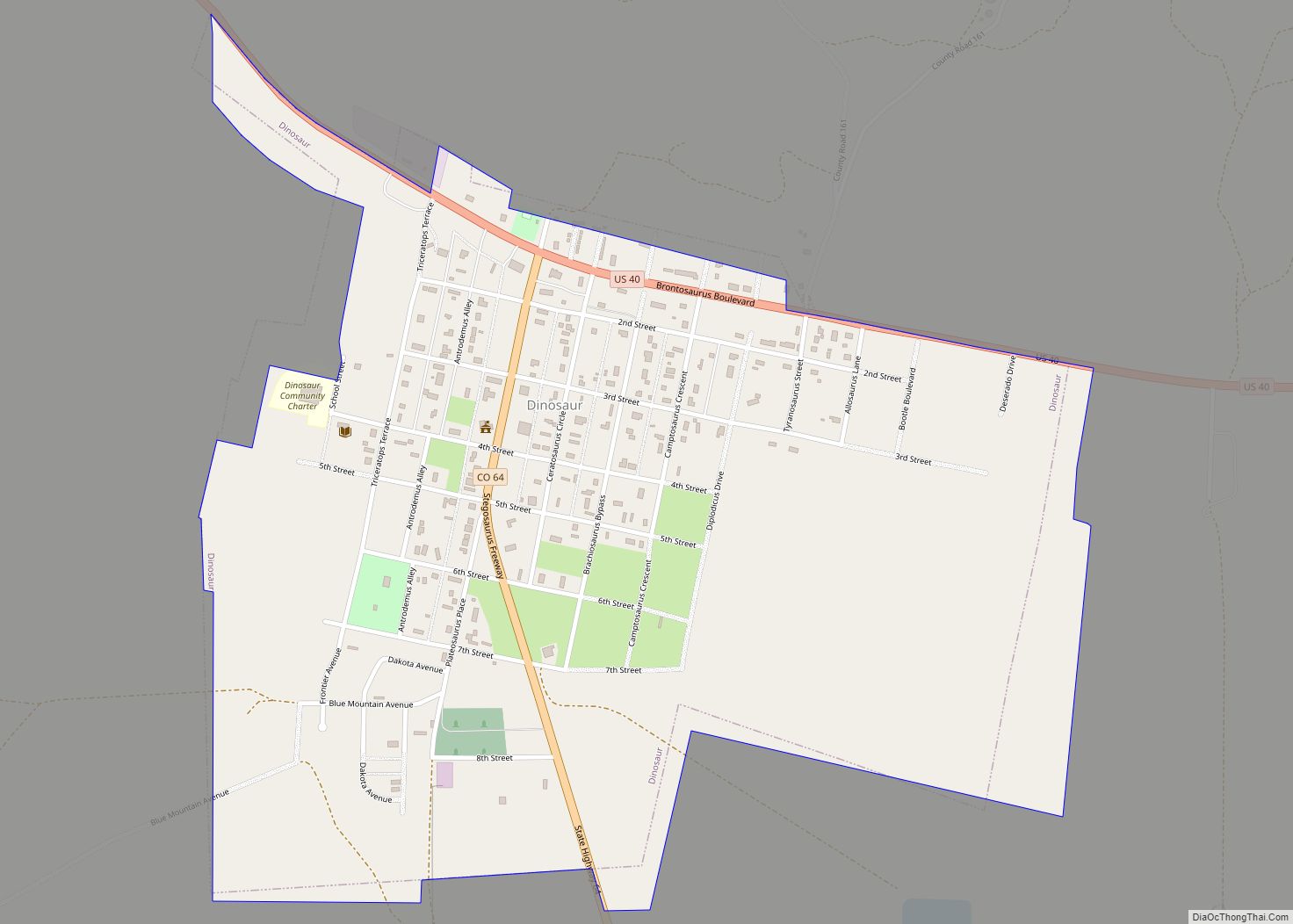
Maybell is located in central Moffat County, in the valley of the Yampa River along U.S. Highway 40. Craig is 30 miles (48 km) east along US 40, and Dinosaur is 57 miles (92 km) to the west. State Highway 318 leads northwest from Maybell 61 miles (98 km) to the Utah border, passing Browns Park National Wildlife Refuge.
The Maybell CDP has an area of 0.525 square miles (1.360 km), all land.
Climate
This climatic region is typified by large seasonal temperature differences, with warm to hot (and often humid) summers and cold (sometimes severely cold) winters. The climate of Maybell is a humid continental climate (Dfb).
The coldest ambient air temperature ever recorded in the State of Colorado was −61 °F (−52 °C) at Maybell on February 1, 1985.
See also
Map of Colorado State and its subdivision:- Adams
- Alamosa
- Arapahoe
- Archuleta
- Baca
- Bent
- Boulder
- Broomfield
- Chaffee
- Cheyenne
- Clear Creek
- Conejos
- Costilla
- Crowley
- Custer
- Delta
- Denver
- Dolores
- Douglas
- Eagle
- El Paso
- Elbert
- Fremont
- Garfield
- Gilpin
- Grand
- Gunnison
- Hinsdale
- Huerfano
- Jackson
- Jefferson
- Kiowa
- Kit Carson
- La Plata
- Lake
- Larimer
- Las Animas
- Lincoln
- Logan
- Mesa
- Mineral
- Moffat
- Montezuma
- Montrose
- Morgan
- Otero
- Ouray
- Park
- Phillips
- Pitkin
- Prowers
- Pueblo
- Rio Blanco
- Rio Grande
- Routt
- Saguache
- San Juan
- San Miguel
- Sedgwick
- Summit
- Teller
- Washington
- Weld
- Yuma
- Alabama
- Alaska
- Arizona
- Arkansas
- California
- Colorado
- Connecticut
- Delaware
- District of Columbia
- Florida
- Georgia
- Hawaii
- Idaho
- Illinois
- Indiana
- Iowa
- Kansas
- Kentucky
- Louisiana
- Maine
- Maryland
- Massachusetts
- Michigan
- Minnesota
- Mississippi
- Missouri
- Montana
- Nebraska
- Nevada
- New Hampshire
- New Jersey
- New Mexico
- New York
- North Carolina
- North Dakota
- Ohio
- Oklahoma
- Oregon
- Pennsylvania
- Rhode Island
- South Carolina
- South Dakota
- Tennessee
- Texas
- Utah
- Vermont
- Virginia
- Washington
- West Virginia
- Wisconsin
- Wyoming