McCoy is an unincorporated town, a census-designated place (CDP), and a post office located in and governed by Eagle County, Colorado, United States. The CDP is a part of the Edwards, CO Micropolitan Statistical Area. The McCoy post office has the ZIP Code 80463. At the United States Census 2020, the population of the McCoy CDP was 30.
| Name: | McCoy CDP |
|---|---|
| LSAD Code: | 57 |
| LSAD Description: | CDP (suffix) |
| State: | Colorado |
| County: | Eagle County |
| Elevation: | 6,699 ft (2,042 m) |
| Total Area: | 0.294 sq mi (0.761 km²) |
| Land Area: | 0.294 sq mi (0.761 km²) |
| Water Area: | 0.000 sq mi (0.000 km²) |
| Total Population: | 30 |
| Population Density: | 100/sq mi (39/km²) |
| ZIP code: | 80463 |
| Area code: | 970 |
| FIPS code: | 0847345 |
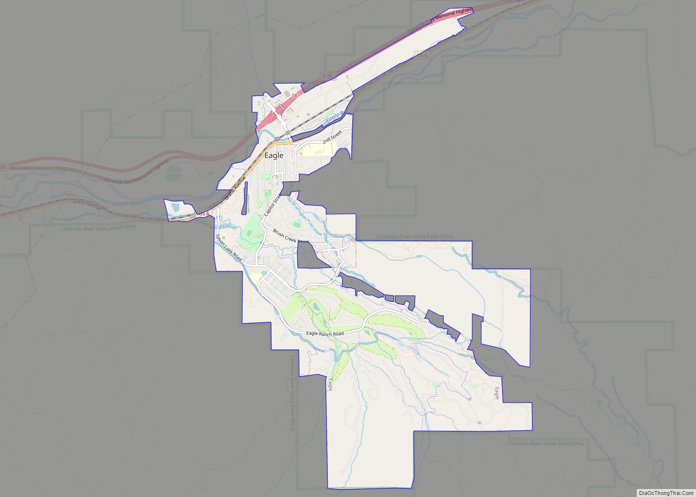
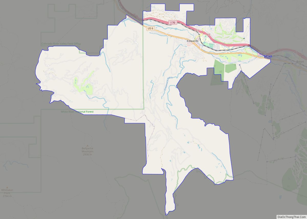
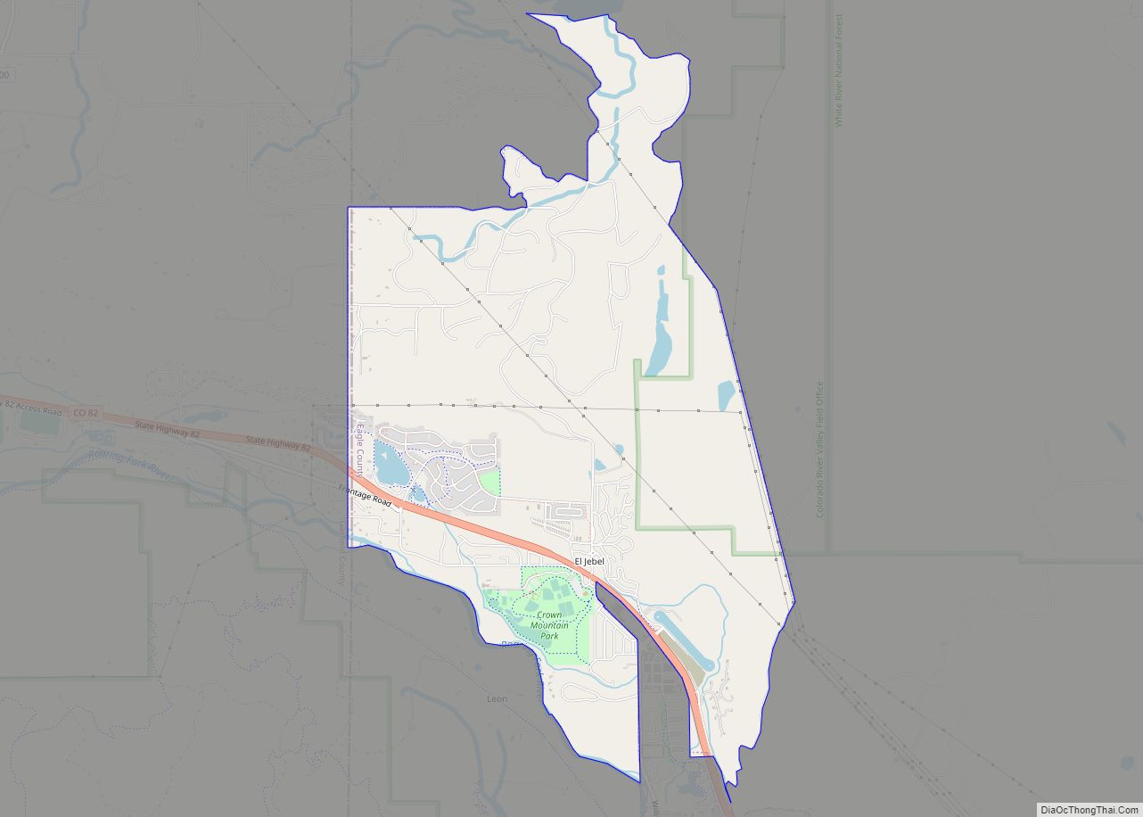
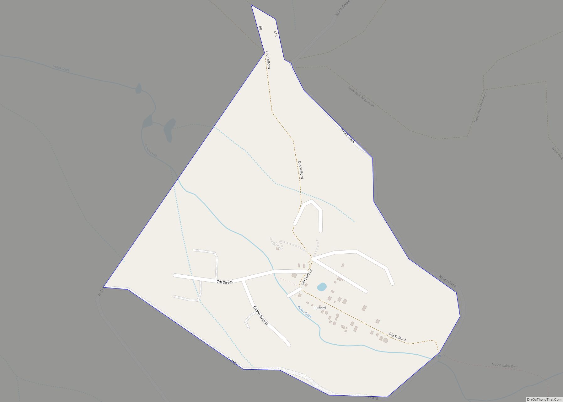
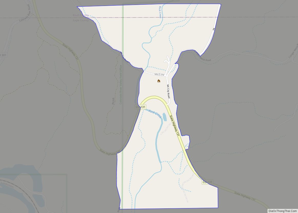
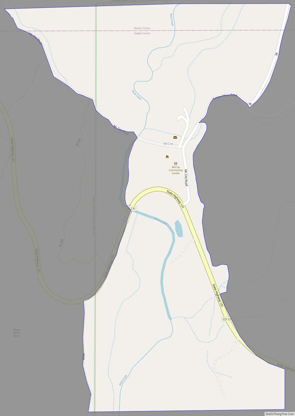
Online Interactive Map
Click on ![]() to view map in "full screen" mode.
to view map in "full screen" mode.
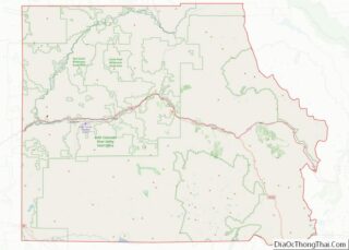
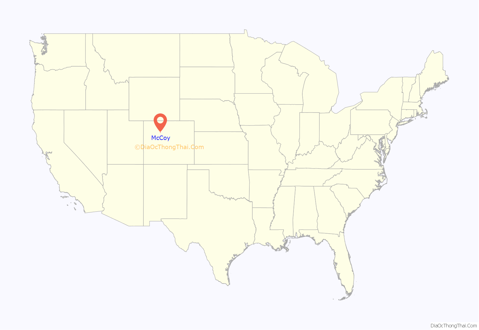
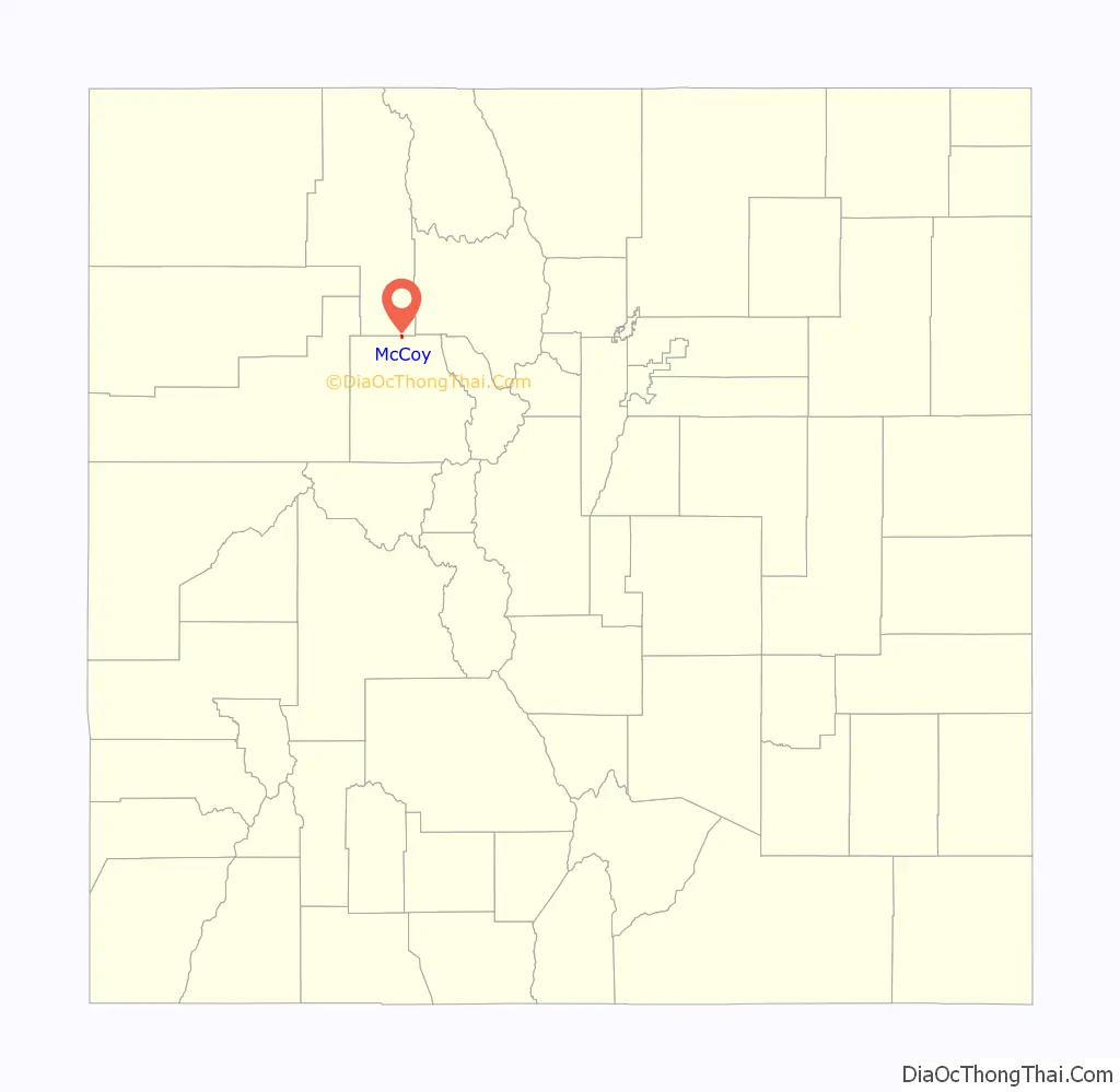
McCoy location map. Where is McCoy CDP?
History
The McCoy Post Office has been in operation since 1891. The community was named after Charles H. McCoy, a cattleman.
McCoy Road Map
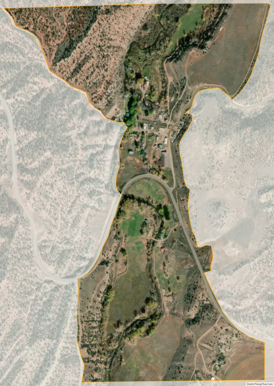
McCoy city Satellite Map
Geography
McCoy is located along the northern border of Eagle County in the valley of Rock Creek, less than one mile north of its mouth at the Colorado River. Colorado State Highway 131 passes through the community, leading south 20 miles (32 km) to Interstate 70 at Wolcott and north 52 miles (84 km) to Steamboat Springs.
The McCoy CDP has an area of 188 acres (0.761 km), all land.
See also
Map of Colorado State and its subdivision:- Adams
- Alamosa
- Arapahoe
- Archuleta
- Baca
- Bent
- Boulder
- Broomfield
- Chaffee
- Cheyenne
- Clear Creek
- Conejos
- Costilla
- Crowley
- Custer
- Delta
- Denver
- Dolores
- Douglas
- Eagle
- El Paso
- Elbert
- Fremont
- Garfield
- Gilpin
- Grand
- Gunnison
- Hinsdale
- Huerfano
- Jackson
- Jefferson
- Kiowa
- Kit Carson
- La Plata
- Lake
- Larimer
- Las Animas
- Lincoln
- Logan
- Mesa
- Mineral
- Moffat
- Montezuma
- Montrose
- Morgan
- Otero
- Ouray
- Park
- Phillips
- Pitkin
- Prowers
- Pueblo
- Rio Blanco
- Rio Grande
- Routt
- Saguache
- San Juan
- San Miguel
- Sedgwick
- Summit
- Teller
- Washington
- Weld
- Yuma
- Alabama
- Alaska
- Arizona
- Arkansas
- California
- Colorado
- Connecticut
- Delaware
- District of Columbia
- Florida
- Georgia
- Hawaii
- Idaho
- Illinois
- Indiana
- Iowa
- Kansas
- Kentucky
- Louisiana
- Maine
- Maryland
- Massachusetts
- Michigan
- Minnesota
- Mississippi
- Missouri
- Montana
- Nebraska
- Nevada
- New Hampshire
- New Jersey
- New Mexico
- New York
- North Carolina
- North Dakota
- Ohio
- Oklahoma
- Oregon
- Pennsylvania
- Rhode Island
- South Carolina
- South Dakota
- Tennessee
- Texas
- Utah
- Vermont
- Virginia
- Washington
- West Virginia
- Wisconsin
- Wyoming