The Town of Montezuma is a statutory town located in eastern Summit County, Colorado, United States. The town population was 74 at 2020 United States Census. The town is a former mining camp that sits at an elevation of 10,200 feet (3,110 m), just west of the Continental Divide, nestled among mountains that reach an elevation of 12,000-13,000 feet (3,700-4,000 m) around it. It is situated in the upper valley of the Snake River above the ski resort of Keystone in the Rocky Mountains.
| Name: | Montezuma town |
|---|---|
| LSAD Code: | 43 |
| LSAD Description: | town (suffix) |
| State: | Colorado |
| County: | Summit County |
| Founded: | 1865 |
| Incorporated: | 1882 |
| Elevation: | 10,312 ft (3,143 m) |
| Total Area: | 0.08 sq mi (0.21 km²) |
| Land Area: | 0.08 sq mi (0.21 km²) |
| Water Area: | 0.00 sq mi (0.00 km²) |
| Total Population: | 74 |
| Population Density: | 930/sq mi (350/km²) |
| ZIP code: | 80435 |
| Area code: | 970 |
| FIPS code: | 0851690 |
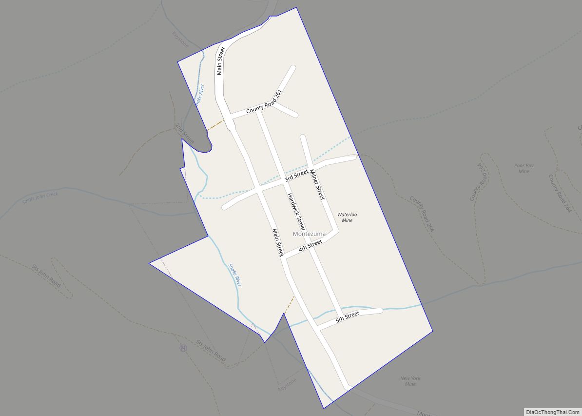
Online Interactive Map
Click on ![]() to view map in "full screen" mode.
to view map in "full screen" mode.
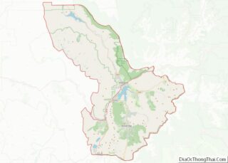
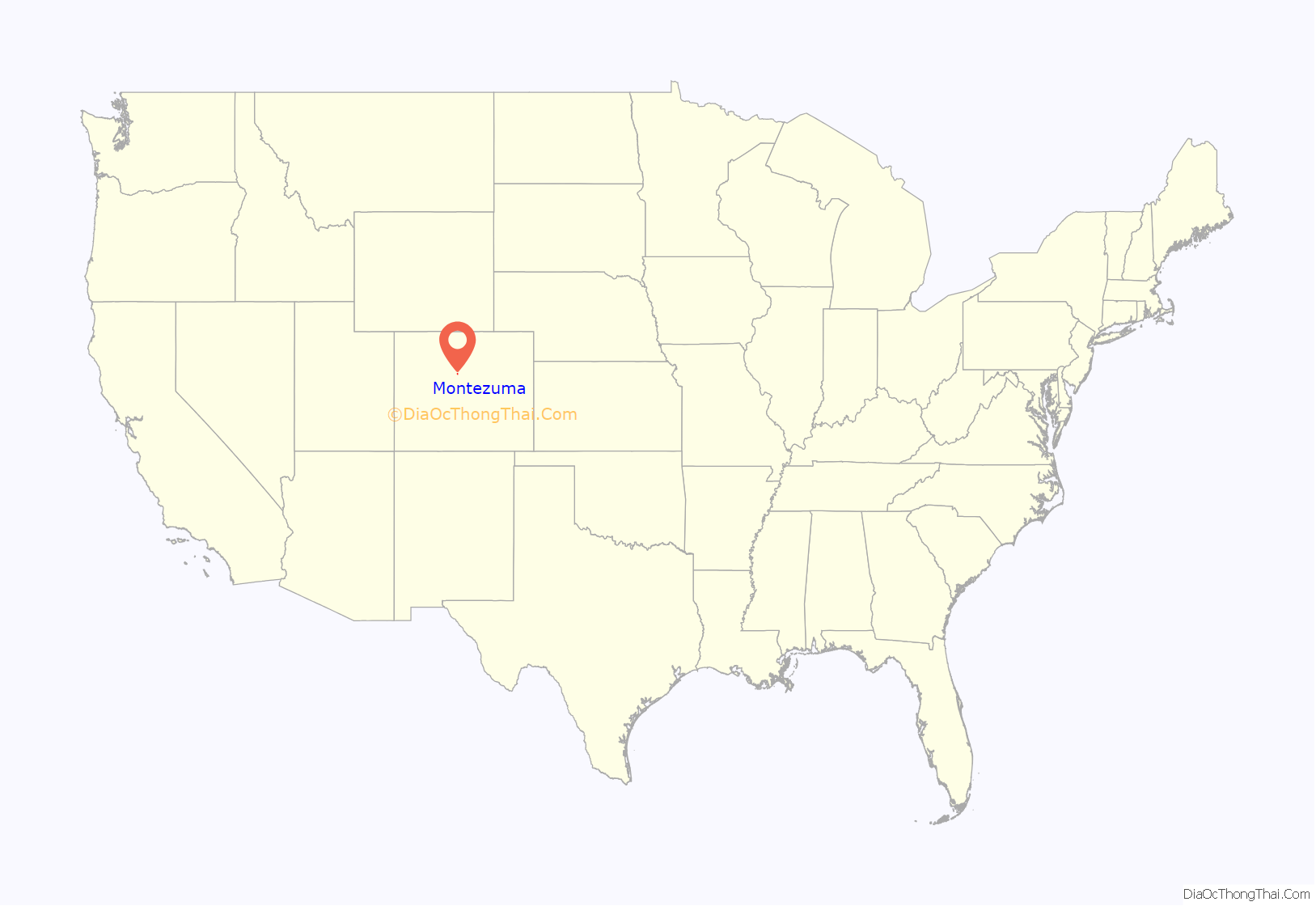
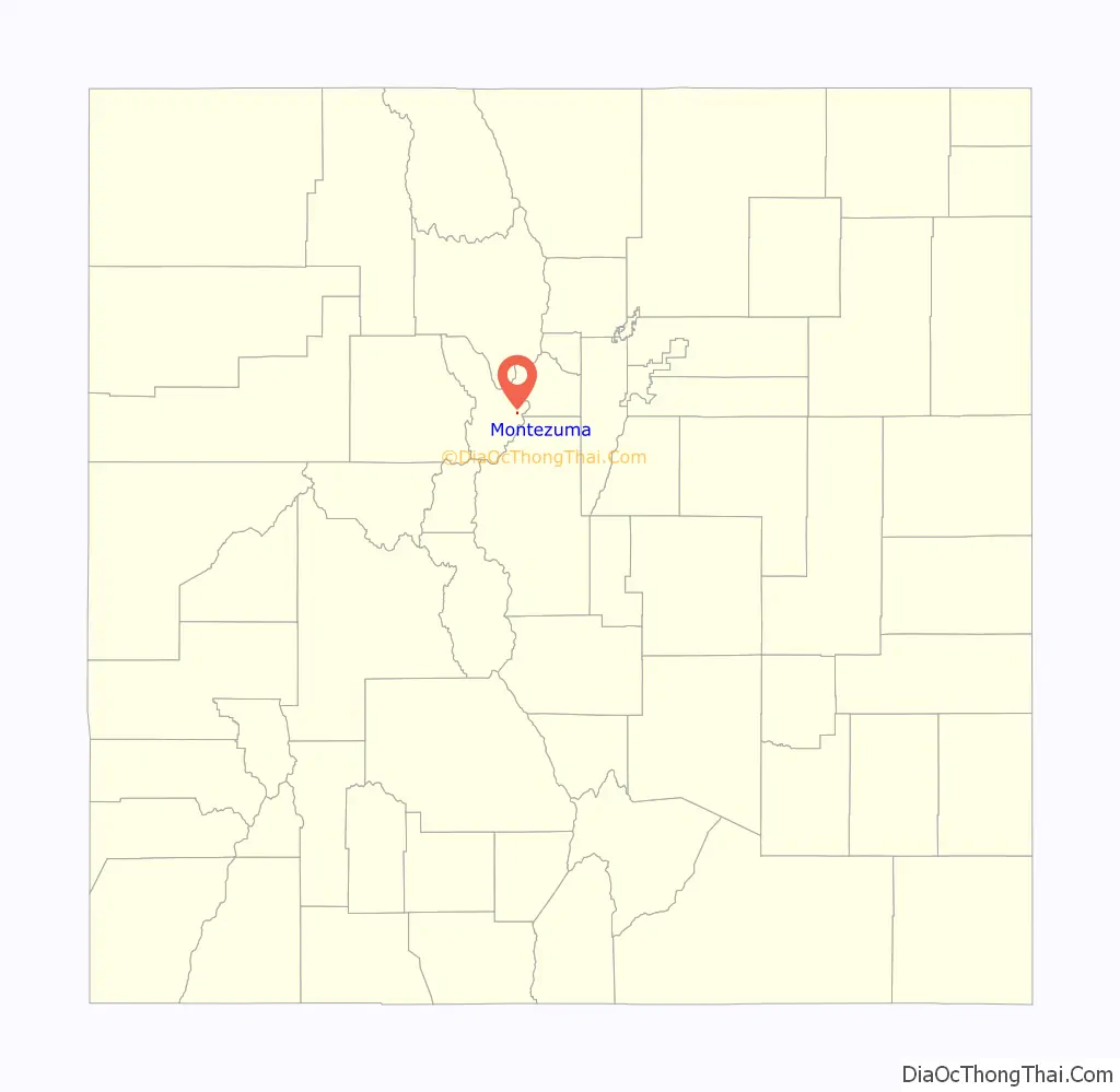
Montezuma location map. Where is Montezuma town?
History
The town founded in 1865 following the discovery of silver in the vicinity of nearby Argentine Pass. It was populated by prospectors coming over the passes from nearby Georgetown. The town was incorporated in 1881. A local newspaper, the Montezuma Mill Run, began publishing in 1882. In its inaugural issue, the Mill Run described the town as having two hotels, three stores, three saloons, two blacksmiths, one shoemaker, and a number of restaurants and boarding houses.
In 1890, at the height of the Colorado Silver Boom, the population reached nearly 10,000. At the time, the town had two stores, a post office, two hotels (the Summit House and the Rocky Mountain House), and a sawmill. It eventually had a smelter, as well, which allowed local separation of the silver and lead ores, which are typically found together in the region. At the town’s peak, the mountainside around the town was location of numerous mines on the Belle and Blance lodes, operated by the Sts. John Mining Company, after which the nearby ghost town of Saints John is named. Saints John now consists of three cabins near timberline, at 10,764 feet.[1]
The town experienced a steep decline after the Silver Bust in 1893. It experienced a slight revival in mining interest in 1940, but has remained fairly quiet since World War II. The town has experienced five major fires throughout its history, including ones in 1949 and 1958 which destroyed many of the historic structures, including the Summit House, which burned in the fire of Christmas 1958. Other fires in the 1970s and 1980s destroyed additional historic buildings and businesses, leaving the town with little current economic base. Presently, the town is experiencing a high surge of interest as the value of real estate in proximity to ski areas and with access to wilderness increases substantially.
In 2008, the Town Board of Montezuma and the Summit County Sheriff’s Office began vigorously enforcing the county’s prohibition of parking on county roads and private property within the town by ticketing and towing illegally parked vehicles. The increased use of the nearby trails by recreational users had created a huge parking problem within the town, causing both safety and quality of life issues for the town residents. It was not uncommon for Montezuma Road to be literally a one-lane road, impeding any emergency vehicles that needed to get through Montezuma. Signs in town now direct recreational users to park their vehicles at the only legal trailhead for the area at Peru Creek, a USFS trailhead 0.75-mile (1.21 km) north of Montezuma. In addition, the Sheriff’s Department has begun to crack down on speeders who do not obey the 10 mph speed limit.
In 2014, after a controversial election, the town sued all registered voters to force them to appear in court.
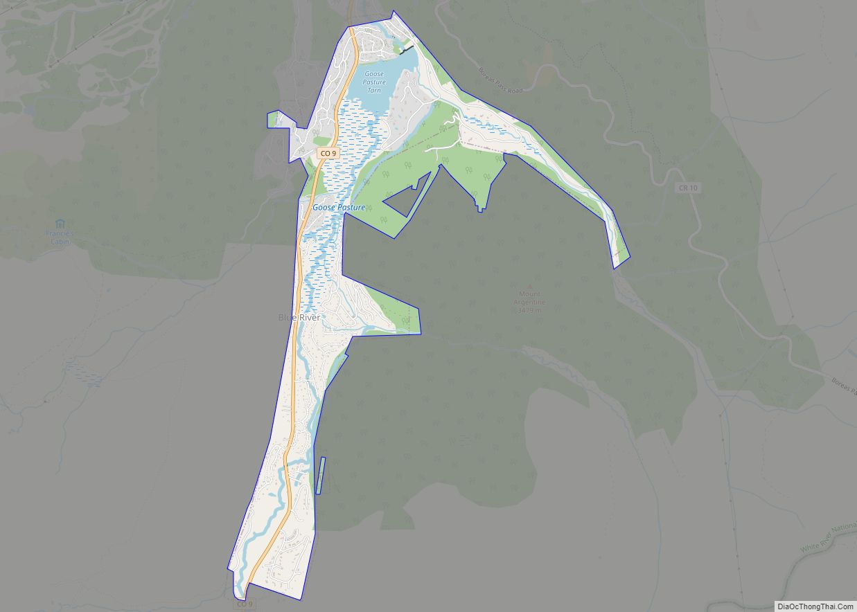
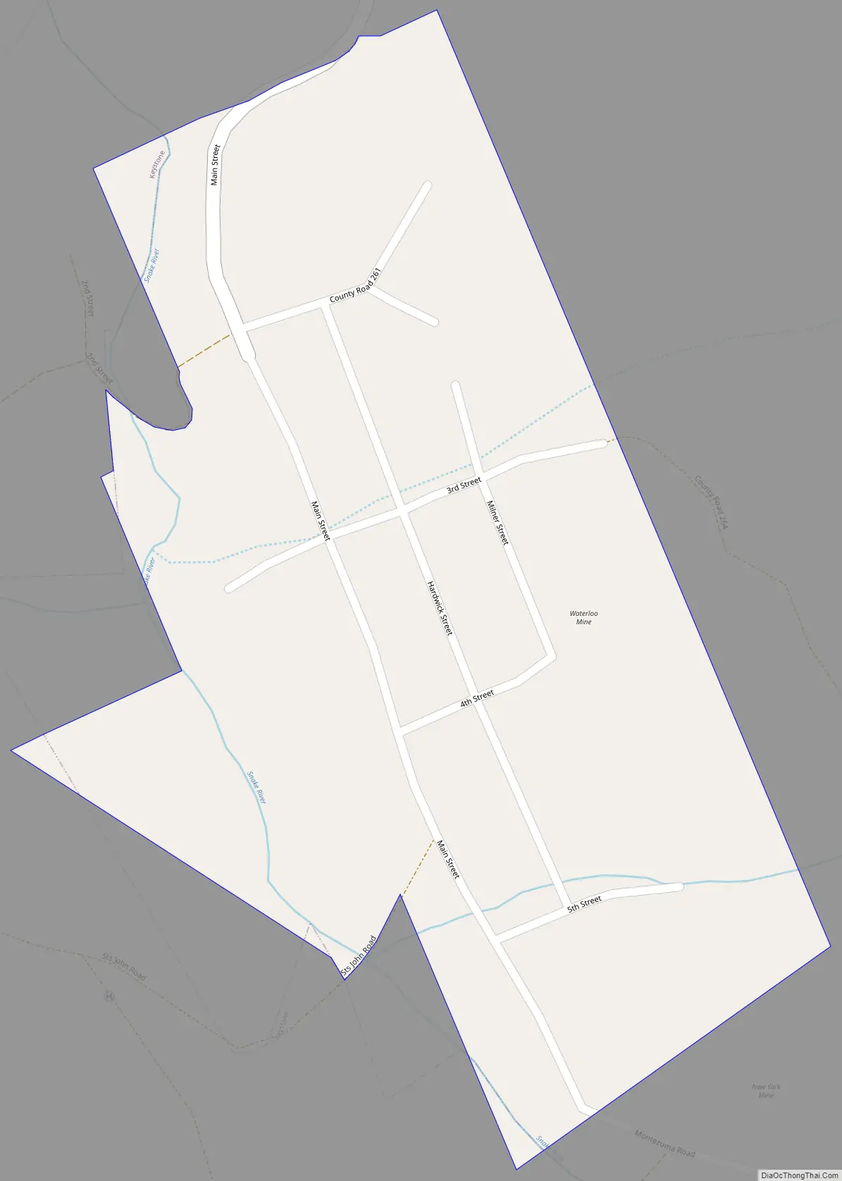
Montezuma Road Map
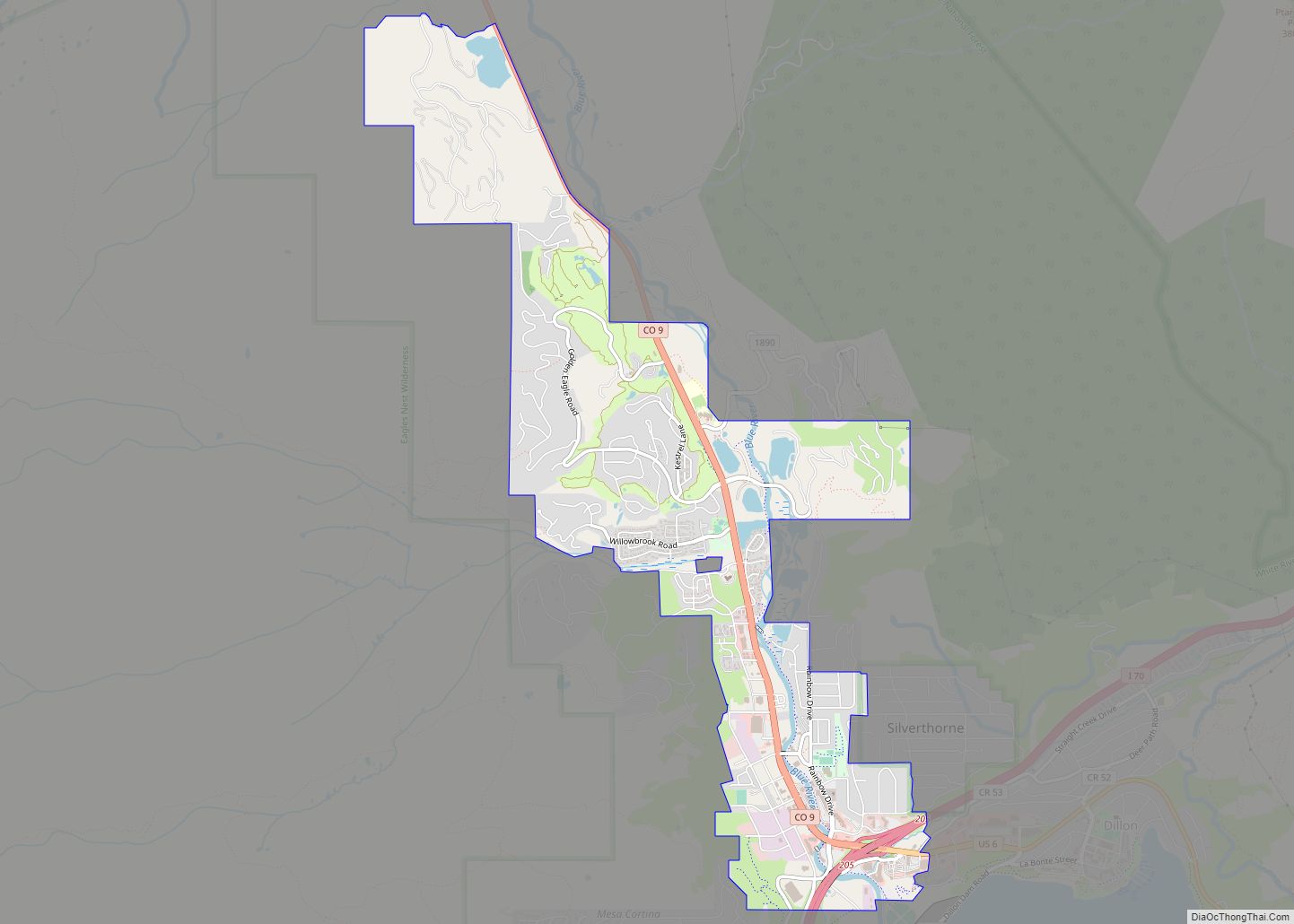
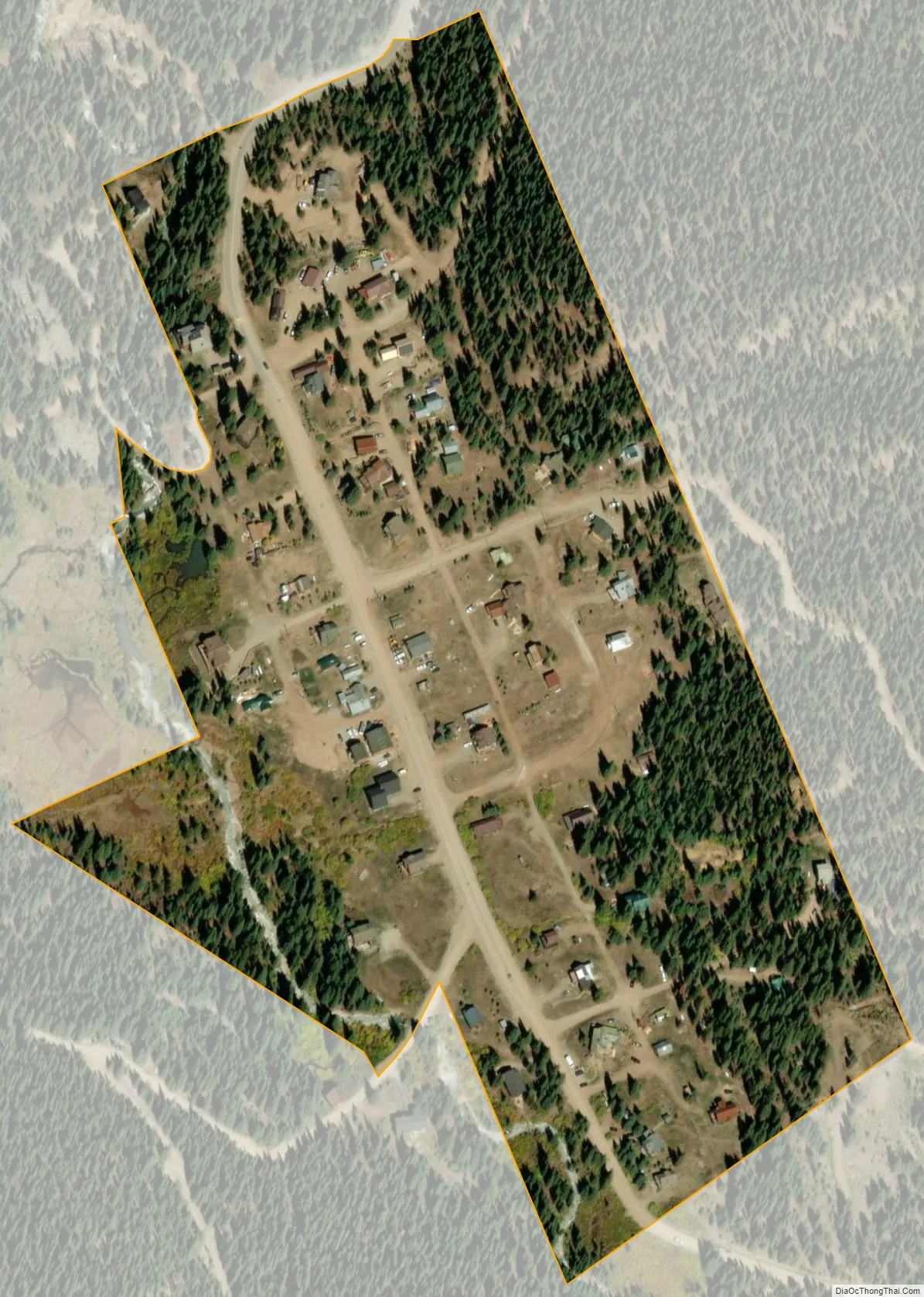
Montezuma city Satellite Map
Geography
At 10,200 feet (3,100 m) elevation, the town is among the few (perhaps just four) incorporated towns or cities in the United States at elevation higher than 10,000 feet (3,000 m).
Montezuma is located at 39°34′53″N 105°52′4″W / 39.58139°N 105.86778°W / 39.58139; -105.86778 (39.581389, -105.867778).
According to the United States Census Bureau, the town has a total area of 0.1 square miles (0.26 km), all of it land.
Climate
Montezuma has a subarctic climate (Dfc) with short, mild summers and long, cold winters.
See also
Map of Colorado State and its subdivision:- Adams
- Alamosa
- Arapahoe
- Archuleta
- Baca
- Bent
- Boulder
- Broomfield
- Chaffee
- Cheyenne
- Clear Creek
- Conejos
- Costilla
- Crowley
- Custer
- Delta
- Denver
- Dolores
- Douglas
- Eagle
- El Paso
- Elbert
- Fremont
- Garfield
- Gilpin
- Grand
- Gunnison
- Hinsdale
- Huerfano
- Jackson
- Jefferson
- Kiowa
- Kit Carson
- La Plata
- Lake
- Larimer
- Las Animas
- Lincoln
- Logan
- Mesa
- Mineral
- Moffat
- Montezuma
- Montrose
- Morgan
- Otero
- Ouray
- Park
- Phillips
- Pitkin
- Prowers
- Pueblo
- Rio Blanco
- Rio Grande
- Routt
- Saguache
- San Juan
- San Miguel
- Sedgwick
- Summit
- Teller
- Washington
- Weld
- Yuma
- Alabama
- Alaska
- Arizona
- Arkansas
- California
- Colorado
- Connecticut
- Delaware
- District of Columbia
- Florida
- Georgia
- Hawaii
- Idaho
- Illinois
- Indiana
- Iowa
- Kansas
- Kentucky
- Louisiana
- Maine
- Maryland
- Massachusetts
- Michigan
- Minnesota
- Mississippi
- Missouri
- Montana
- Nebraska
- Nevada
- New Hampshire
- New Jersey
- New Mexico
- New York
- North Carolina
- North Dakota
- Ohio
- Oklahoma
- Oregon
- Pennsylvania
- Rhode Island
- South Carolina
- South Dakota
- Tennessee
- Texas
- Utah
- Vermont
- Virginia
- Washington
- West Virginia
- Wisconsin
- Wyoming