Naturita is a statutory town in Montrose County, Colorado, United States. The population was 485 at the 2020 census, down from 546 in 2010.
A post office called Naturita has been in operation since 1882. Naturita is a name derived from Spanish meaning “little nature”.
| Name: | Naturita town |
|---|---|
| LSAD Code: | 43 |
| LSAD Description: | town (suffix) |
| State: | Colorado |
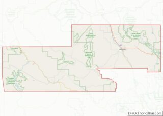
| County: | Montrose County |
| Elevation: | 5,417 ft (1,651 m) |
| Total Area: | 0.615 sq mi (1.594 km²) |
| Land Area: | 0.615 sq mi (1.594 km²) |
| Water Area: | 0.00 sq mi (0.00 km²) |
| Total Population: | 485 |
| Population Density: | 788.6/sq mi (304.5/km²) |
| ZIP code: | 81422 |
| Area code: | 970 |
| FIPS code: | 0853120 |
| GNISfeature ID: | 2413035 |
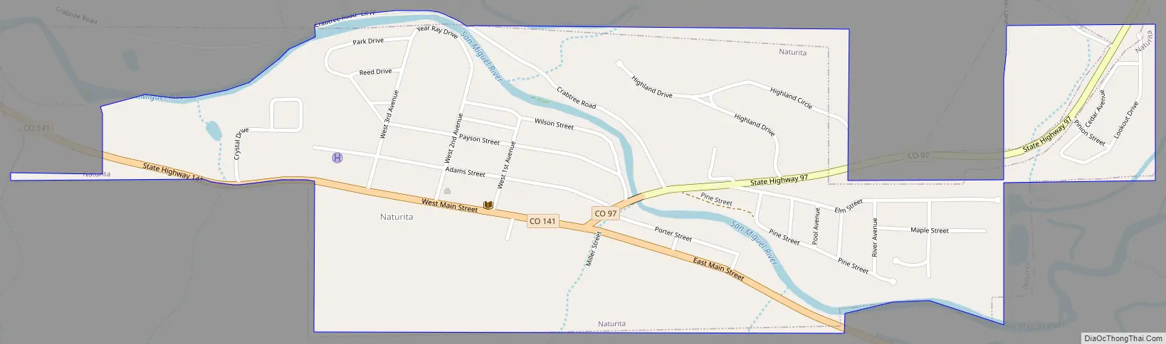
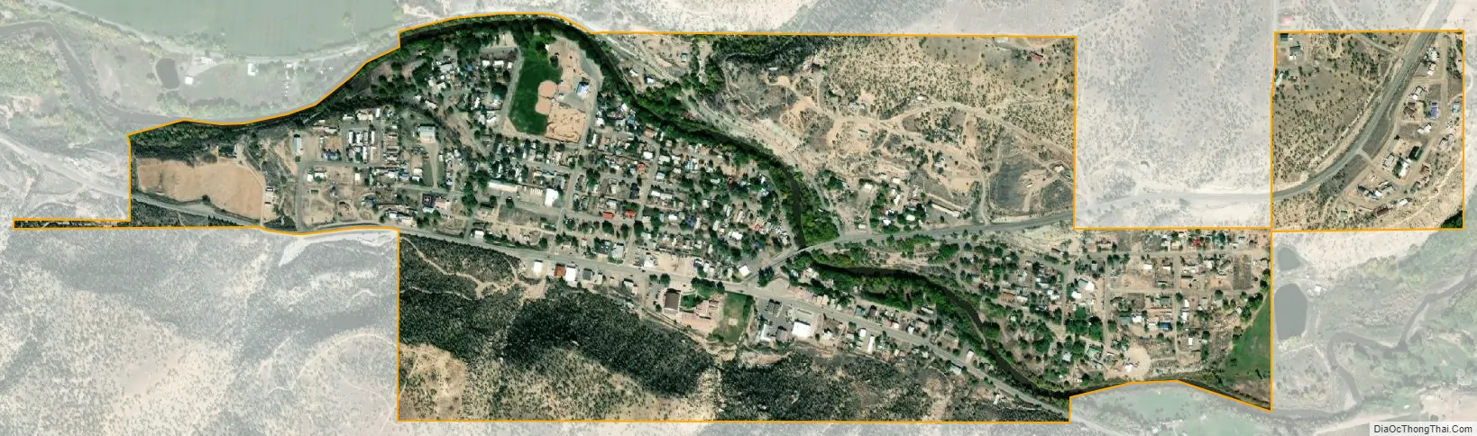
Online Interactive Map
Click on ![]() to view map in "full screen" mode.
to view map in "full screen" mode.
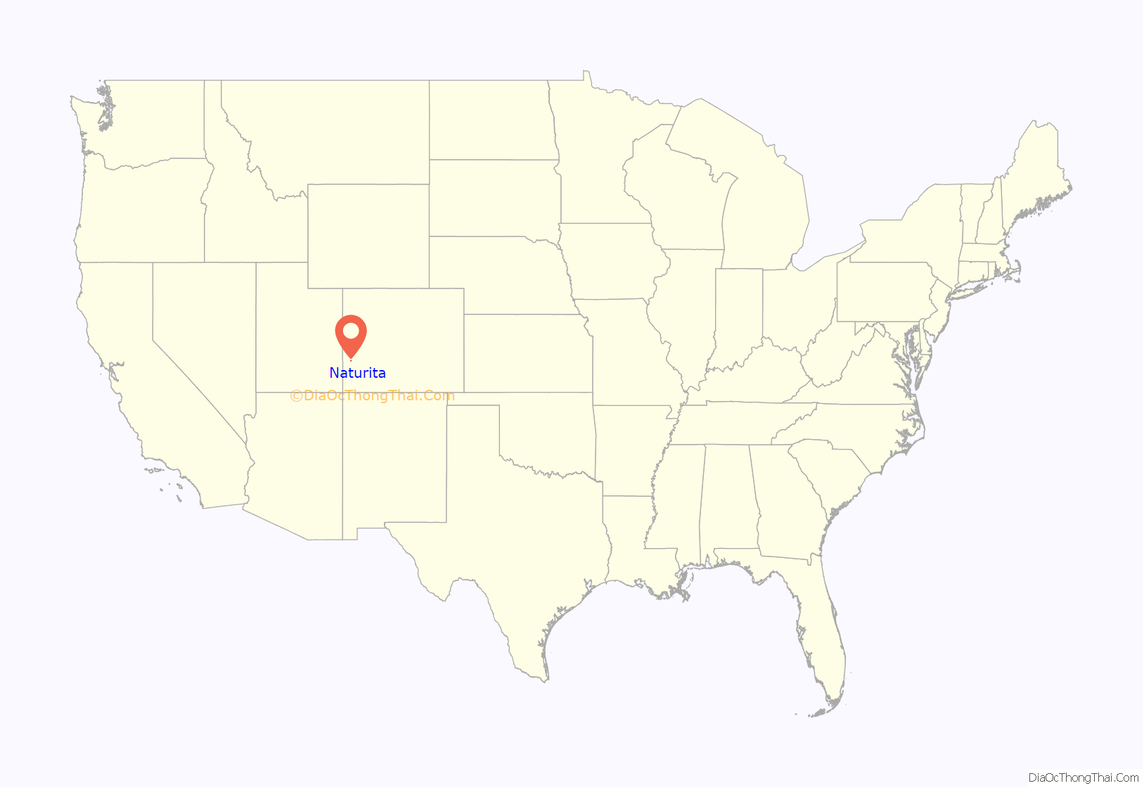
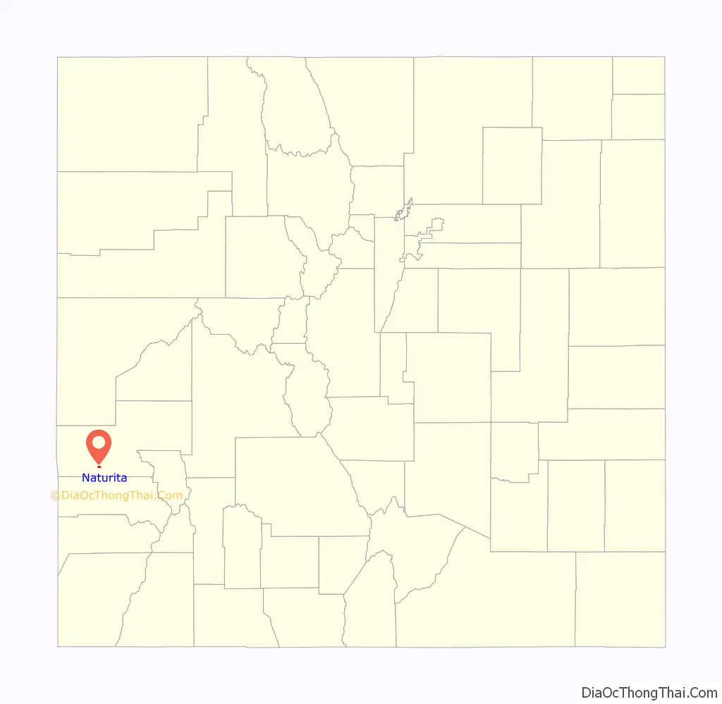
Naturita location map. Where is Naturita town?
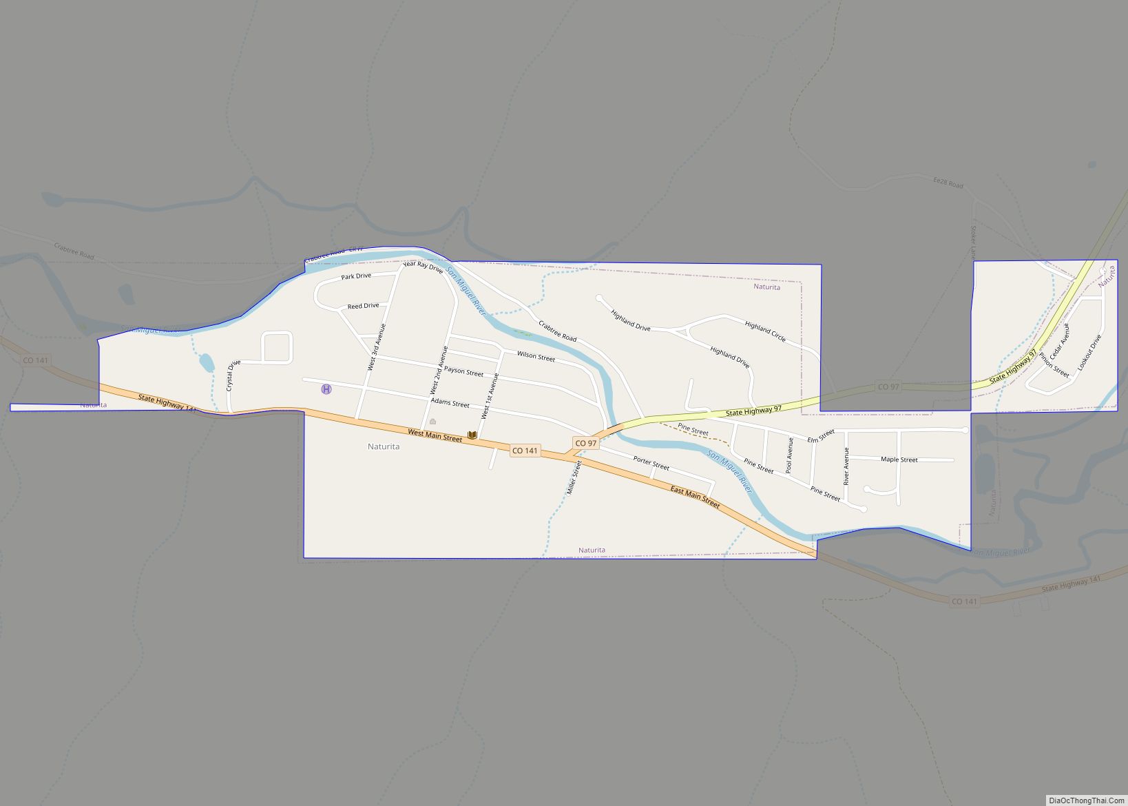
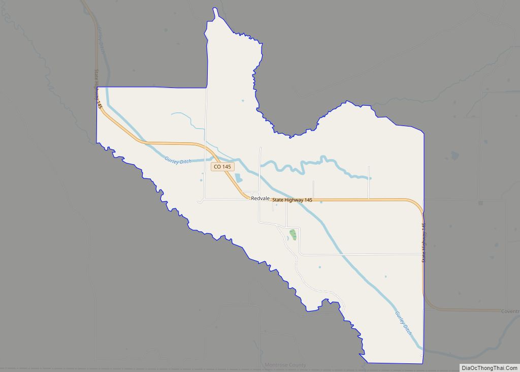
Naturita Road Map
Naturita city Satellite Map
Geography
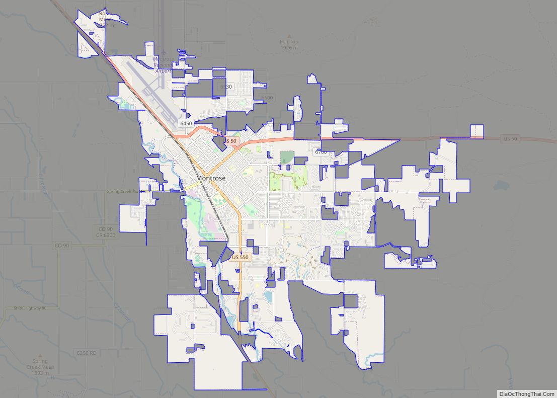
The community is located in southwest Montrose County within the San Miguel River valley. The community is served by Colorado State Highways 97 and 141. Telluride is 52 miles (84 km) to the southeast via Highways 141 and 145. Montrose, the Montrose county seat, is 41 miles (66 km) to the northeast in air distance across the Uncompahgre Plateau but 86 miles (138 km) by paved roads.
According to the United States Census Bureau, the town has a total area of 0.6 square miles (1.6 km), all of it land. The San Miguel River flows northwest from Naturita to the Dolores River, which continues northwest to the Colorado River in Utah.
See also
Map of Colorado State and its subdivision:- Adams
- Alamosa
- Arapahoe
- Archuleta
- Baca
- Bent
- Boulder
- Broomfield
- Chaffee
- Cheyenne
- Clear Creek
- Conejos
- Costilla
- Crowley
- Custer
- Delta
- Denver
- Dolores
- Douglas
- Eagle
- El Paso
- Elbert
- Fremont
- Garfield
- Gilpin
- Grand
- Gunnison
- Hinsdale
- Huerfano
- Jackson
- Jefferson
- Kiowa
- Kit Carson
- La Plata
- Lake
- Larimer
- Las Animas
- Lincoln
- Logan
- Mesa
- Mineral
- Moffat
- Montezuma
- Montrose
- Morgan
- Otero
- Ouray
- Park
- Phillips
- Pitkin
- Prowers
- Pueblo
- Rio Blanco
- Rio Grande
- Routt
- Saguache
- San Juan
- San Miguel
- Sedgwick
- Summit
- Teller
- Washington
- Weld
- Yuma
- Alabama
- Alaska
- Arizona
- Arkansas
- California
- Colorado
- Connecticut
- Delaware
- District of Columbia
- Florida
- Georgia
- Hawaii
- Idaho
- Illinois
- Indiana
- Iowa
- Kansas
- Kentucky
- Louisiana
- Maine
- Maryland
- Massachusetts
- Michigan
- Minnesota
- Mississippi
- Missouri
- Montana
- Nebraska
- Nevada
- New Hampshire
- New Jersey
- New Mexico
- New York
- North Carolina
- North Dakota
- Ohio
- Oklahoma
- Oregon
- Pennsylvania
- Rhode Island
- South Carolina
- South Dakota
- Tennessee
- Texas
- Utah
- Vermont
- Virginia
- Washington
- West Virginia
- Wisconsin
- Wyoming