Nucla is a statutory town in Montrose County, Colorado, United States. The population was 585 as of the 2020 census, down from 711 in 2010. Its name comes from the town founders’ intent that it serve as a “nucleus” for the surrounding farms and mines, although it has since come to be associated with the growth of uranium mining in the region.
| Name: | Nucla town |
|---|---|
| LSAD Code: | 43 |
| LSAD Description: | town (suffix) |
| State: | Colorado |
| County: | Montrose County |
| Elevation: | 5,787 ft (1,764 m) |
| Total Area: | 0.69 sq mi (1.80 km²) |
| Land Area: | 0.69 sq mi (1.80 km²) |
| Water Area: | 0.00 sq mi (0.00 km²) |
| Total Population: | 585 |
| Population Density: | 842.9/sq mi (325.4/km²) |
| ZIP code: | 81424 |
| Area code: | 970 |
| FIPS code: | 0854935 |
| GNISfeature ID: | 0185887 |
| Website: | www.colorado.gov/nucla |
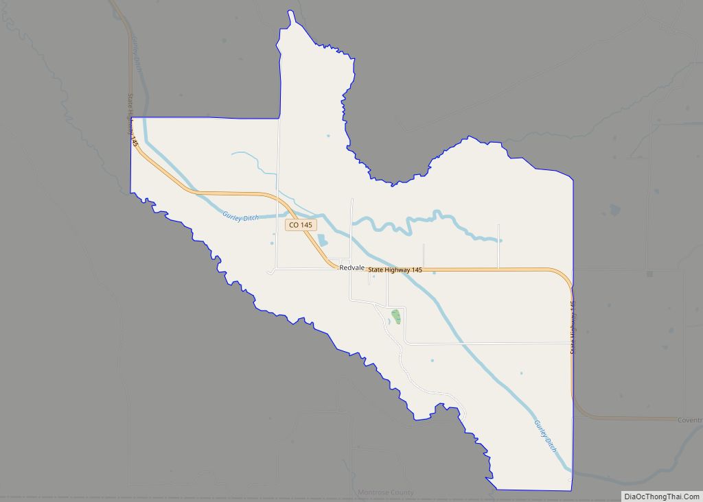
Online Interactive Map
Click on ![]() to view map in "full screen" mode.
to view map in "full screen" mode.
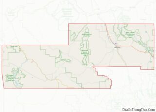
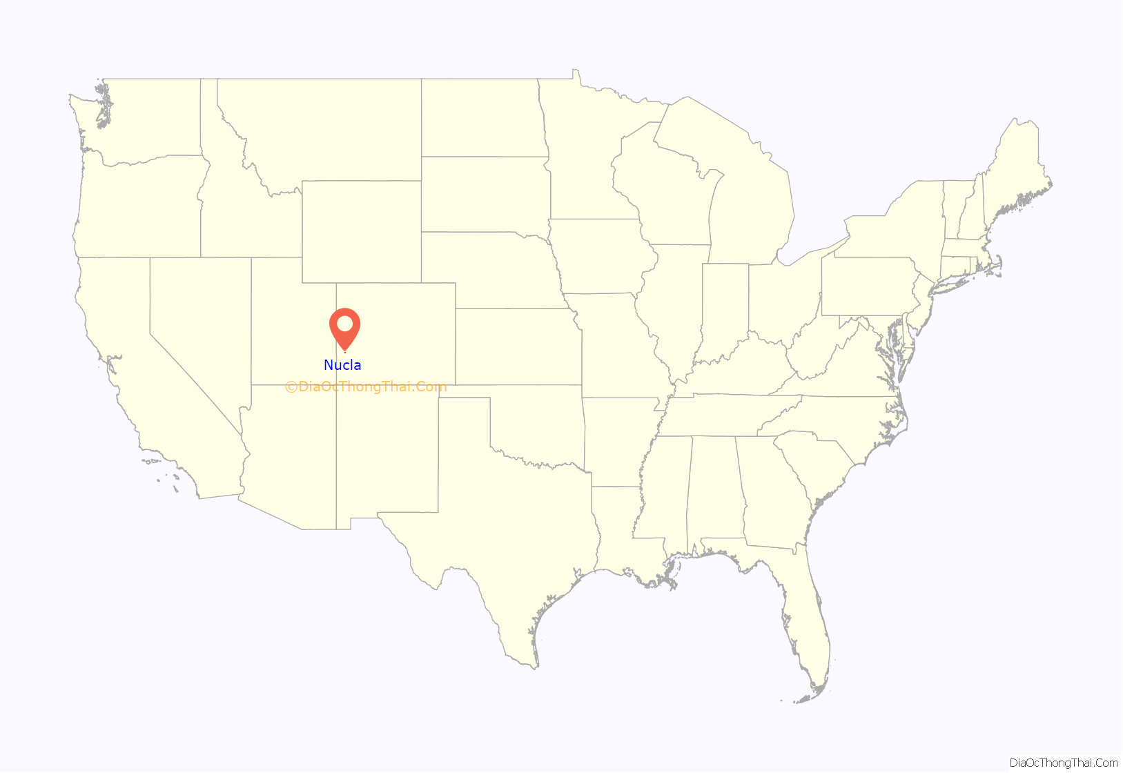
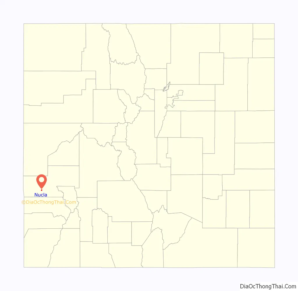
Nucla location map. Where is Nucla town?
History
There are several prehistoric sites near Nucla on the Colorado State Register of Historic Properties:
- Cottonwood Cave is a large rock shelter inhabited by 270 BC and the earliest date at which corn was found in the state of Colorado.
- Tabeguache Cave is another prehistoric rock shelter.
- Tabeguache Pueblo is an example of an early, dispersed Ancient Pueblo settlement, inhabited about AD 1100 and later abandoned.
The town was established by socialists, who emphasized the sharing of things. The name of the town comes from the word nucleus.
In 1990, residents of Nucla hosted the first Top Dog World Championship Prairie Dog Shoot competition which resulted in killing nearly 3,000 prairie dogs.
In May 2013, the Nucla Town Board passed an ordinance that required every non-exempted head of household in the town to own a firearm.
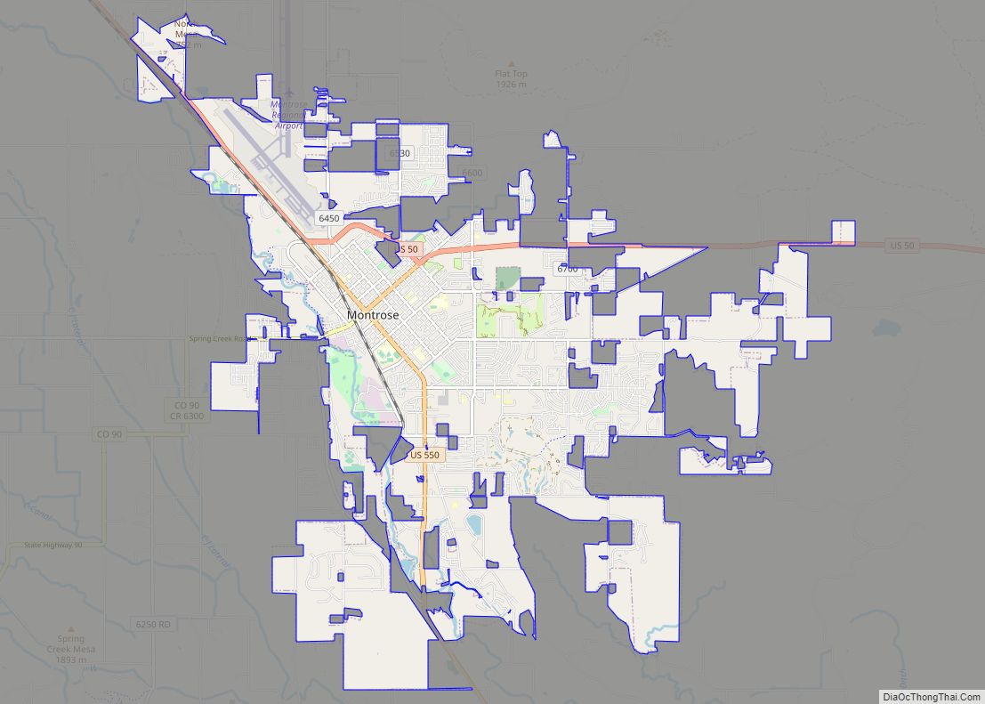
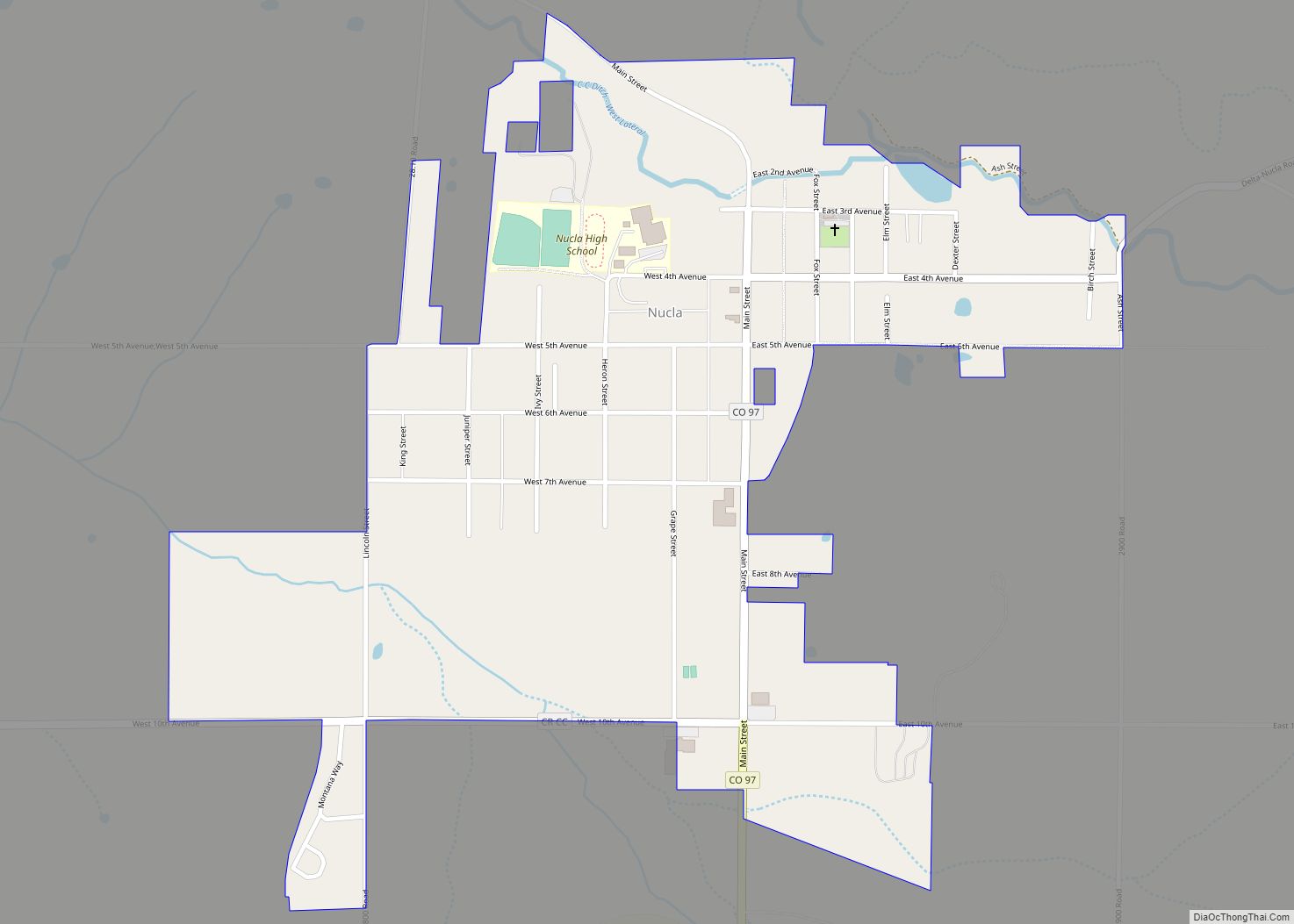
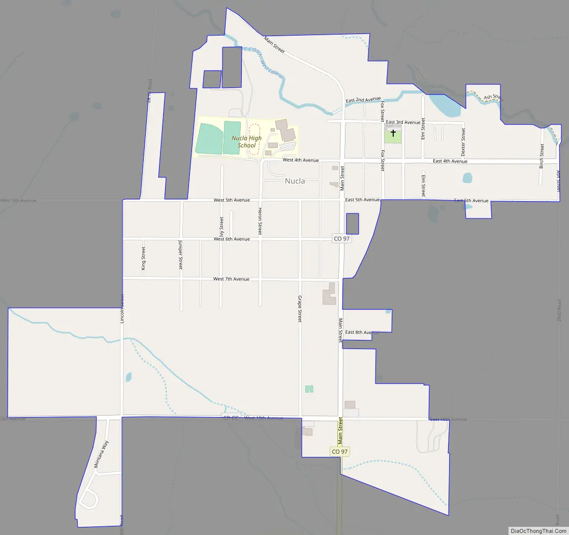
Nucla Road Map
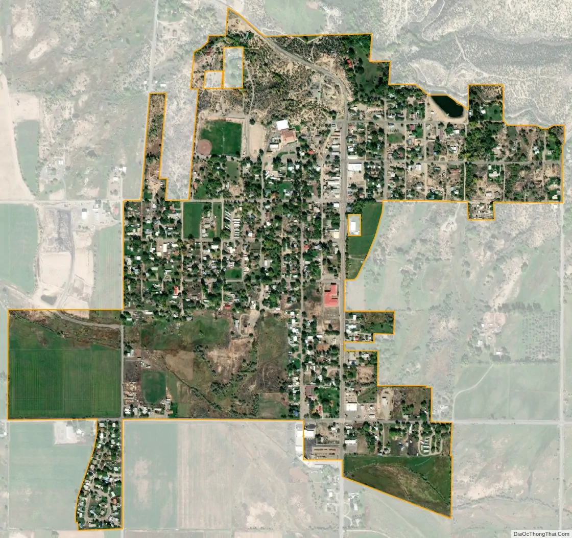
Nucla city Satellite Map
Geography
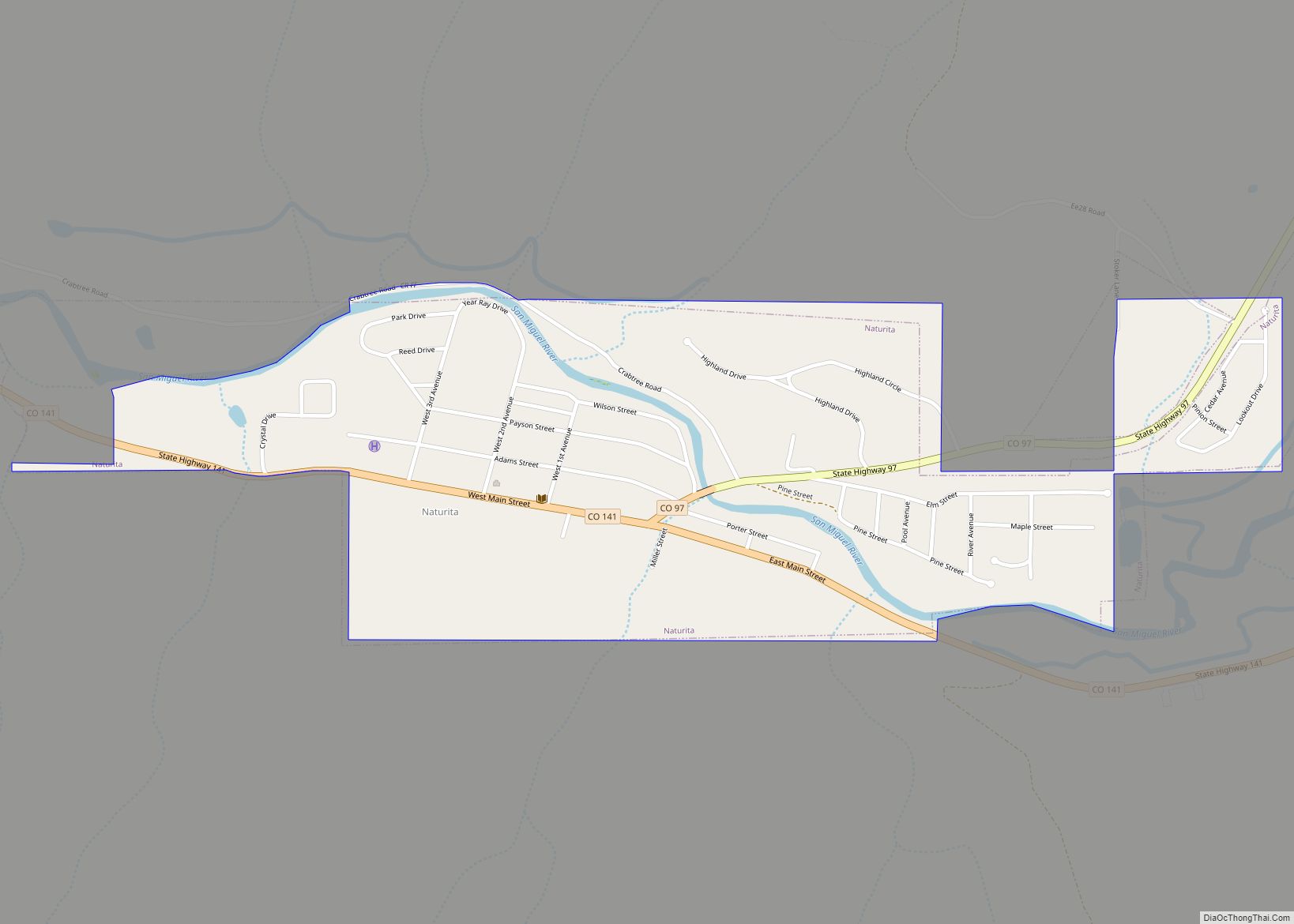
Nucla is located in southwestern Montrose County at 38°16′0″N 108°32′50″W / 38.26667°N 108.54722°W / 38.26667; -108.54722 (38.266775, -108.547146). It is at the northern terminus of Colorado State Highway 97, which leads south 4 miles (6 km) to Naturita, the only other incorporated place in the area. The Uncompahgre Plateau rises to the northeast.
According to the United States Census Bureau, the town has a total area of 0.6 square miles (1.6 km), all of it land.
See also
Map of Colorado State and its subdivision:- Adams
- Alamosa
- Arapahoe
- Archuleta
- Baca
- Bent
- Boulder
- Broomfield
- Chaffee
- Cheyenne
- Clear Creek
- Conejos
- Costilla
- Crowley
- Custer
- Delta
- Denver
- Dolores
- Douglas
- Eagle
- El Paso
- Elbert
- Fremont
- Garfield
- Gilpin
- Grand
- Gunnison
- Hinsdale
- Huerfano
- Jackson
- Jefferson
- Kiowa
- Kit Carson
- La Plata
- Lake
- Larimer
- Las Animas
- Lincoln
- Logan
- Mesa
- Mineral
- Moffat
- Montezuma
- Montrose
- Morgan
- Otero
- Ouray
- Park
- Phillips
- Pitkin
- Prowers
- Pueblo
- Rio Blanco
- Rio Grande
- Routt
- Saguache
- San Juan
- San Miguel
- Sedgwick
- Summit
- Teller
- Washington
- Weld
- Yuma
- Alabama
- Alaska
- Arizona
- Arkansas
- California
- Colorado
- Connecticut
- Delaware
- District of Columbia
- Florida
- Georgia
- Hawaii
- Idaho
- Illinois
- Indiana
- Iowa
- Kansas
- Kentucky
- Louisiana
- Maine
- Maryland
- Massachusetts
- Michigan
- Minnesota
- Mississippi
- Missouri
- Montana
- Nebraska
- Nevada
- New Hampshire
- New Jersey
- New Mexico
- New York
- North Carolina
- North Dakota
- Ohio
- Oklahoma
- Oregon
- Pennsylvania
- Rhode Island
- South Carolina
- South Dakota
- Tennessee
- Texas
- Utah
- Vermont
- Virginia
- Washington
- West Virginia
- Wisconsin
- Wyoming