Piedra is an unincorporated community and a census-designated place (CDP) located in and governed by Hinsdale County, Colorado, United States. The population of the Piedra CDP was 31 at the United States Census 2020. The Pagosa Springs post office (Zip Code 81147) serves the area.
| Name: | Piedra CDP |
|---|---|
| LSAD Code: | 57 |
| LSAD Description: | CDP (suffix) |
| State: | Colorado |
| County: | Hinsdale County |
| Elevation: | 7,844 ft (2,391 m) |
| Total Area: | 11.6 sq mi (30.098 km²) |
| Land Area: | 11.6 sq mi (30.098 km²) |
| Water Area: | 0.000 sq mi (0.000 km²) |
| Total Population: | 31 |
| Population Density: | 2.67/sq mi (1.03/km²) |
| ZIP code: | Pagosa Springs 81147 |
| Area code: | 970 |
| FIPS code: | 0858960 |
Online Interactive Map
Click on ![]() to view map in "full screen" mode.
to view map in "full screen" mode.
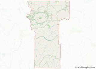
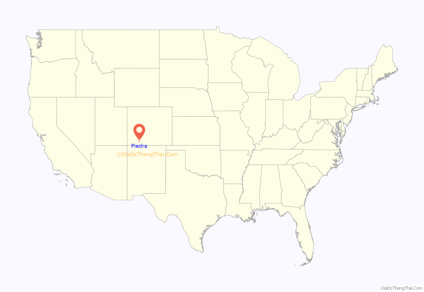
Piedra location map. Where is Piedra CDP?
History
The Piedra Post Office was established in 1879, and remained in operation until 1927. Piedra is a name derived from Spanish meaning “stone”.
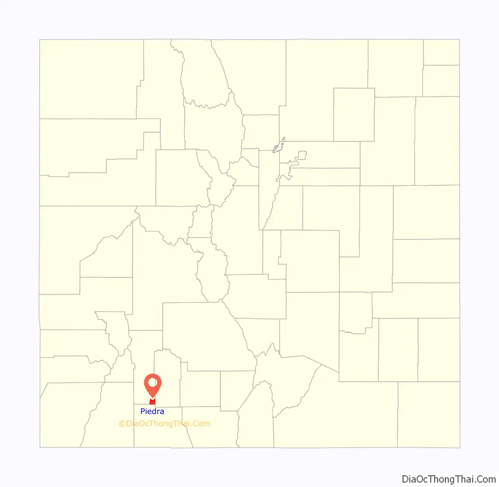
Piedra Road Map
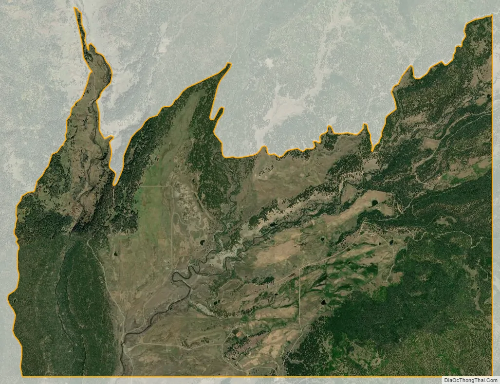
Piedra city Satellite Map
Geography
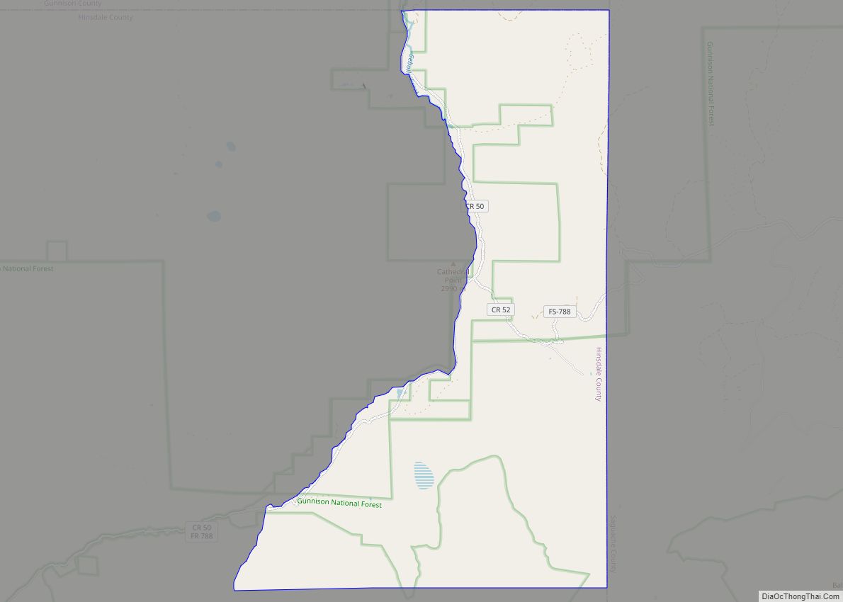
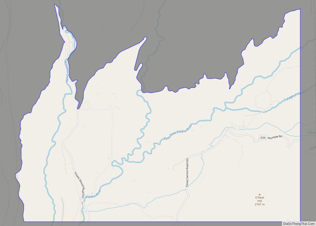
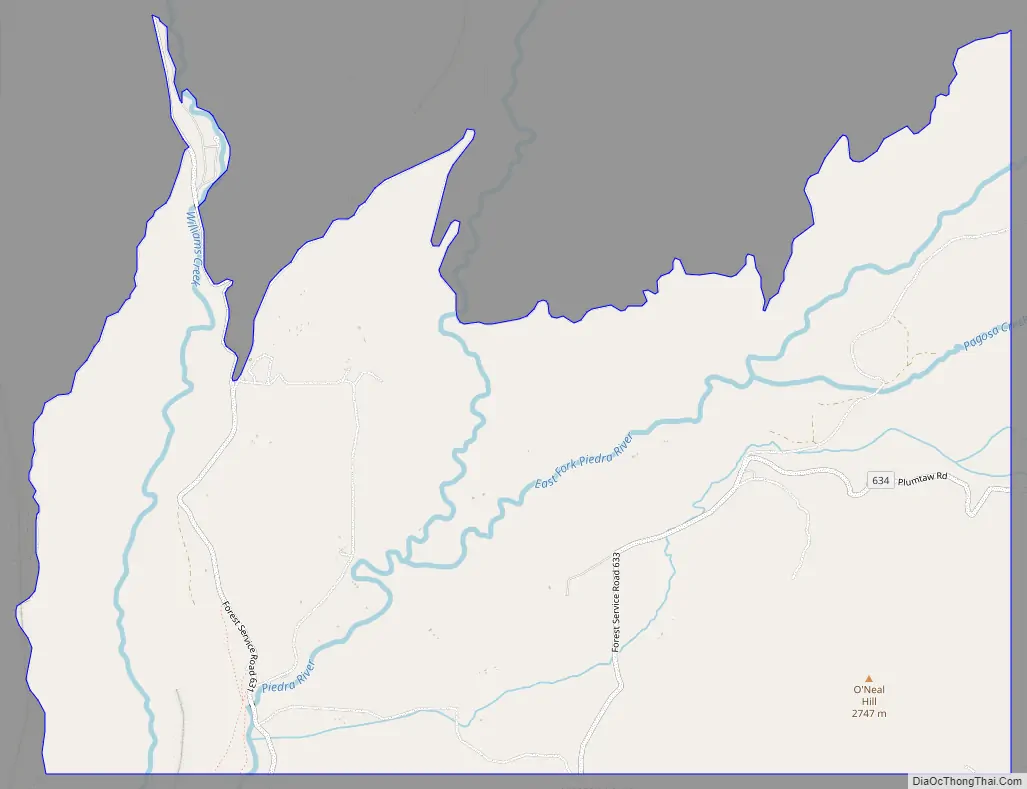
The Piedra CDP occupies the southeast corner of Hinsdale County in the valley of the Piedra River within San Juan National Forest. It is at the southern edge of the San Juan Mountains. The CDP is 18 miles (29 km) west of Pagosa Springs.
The Piedra CDP has an area of 7,437 acres (30.098 km), all land.
See also
Map of Colorado State and its subdivision:- Adams
- Alamosa
- Arapahoe
- Archuleta
- Baca
- Bent
- Boulder
- Broomfield
- Chaffee
- Cheyenne
- Clear Creek
- Conejos
- Costilla
- Crowley
- Custer
- Delta
- Denver
- Dolores
- Douglas
- Eagle
- El Paso
- Elbert
- Fremont
- Garfield
- Gilpin
- Grand
- Gunnison
- Hinsdale
- Huerfano
- Jackson
- Jefferson
- Kiowa
- Kit Carson
- La Plata
- Lake
- Larimer
- Las Animas
- Lincoln
- Logan
- Mesa
- Mineral
- Moffat
- Montezuma
- Montrose
- Morgan
- Otero
- Ouray
- Park
- Phillips
- Pitkin
- Prowers
- Pueblo
- Rio Blanco
- Rio Grande
- Routt
- Saguache
- San Juan
- San Miguel
- Sedgwick
- Summit
- Teller
- Washington
- Weld
- Yuma
- Alabama
- Alaska
- Arizona
- Arkansas
- California
- Colorado
- Connecticut
- Delaware
- District of Columbia
- Florida
- Georgia
- Hawaii
- Idaho
- Illinois
- Indiana
- Iowa
- Kansas
- Kentucky
- Louisiana
- Maine
- Maryland
- Massachusetts
- Michigan
- Minnesota
- Mississippi
- Missouri
- Montana
- Nebraska
- Nevada
- New Hampshire
- New Jersey
- New Mexico
- New York
- North Carolina
- North Dakota
- Ohio
- Oklahoma
- Oregon
- Pennsylvania
- Rhode Island
- South Carolina
- South Dakota
- Tennessee
- Texas
- Utah
- Vermont
- Virginia
- Washington
- West Virginia
- Wisconsin
- Wyoming