Pine Brook Hill is an unincorporated community and a census-designated place (CDP) located in and governed by Boulder County, Colorado, United States. The CDP is a part of the Boulder, CO Metropolitan Statistical Area. The population of the Pine Brook Hill CDP was 975 at the United States Census 2020. The Boulder post office (Zip Code 80304) serves the area.
| Name: | Pine Brook Hill CDP |
|---|---|
| LSAD Code: | 57 |
| LSAD Description: | CDP (suffix) |
| State: | Colorado |
| County: | Boulder County |
| Elevation: | 6,512 ft (1,985 m) |
| Total Area: | 2.867 sq mi (7.426 km²) |
| Land Area: | 2.860 sq mi (7.408 km²) |
| Water Area: | 0.007 sq mi (0.018 km²) |
| Total Population: | 975 |
| Population Density: | 340/sq mi (130/km²) |
| ZIP code: | Boulder 80304 |
| FIPS code: | 0859240 |
Online Interactive Map
Click on ![]() to view map in "full screen" mode.
to view map in "full screen" mode.
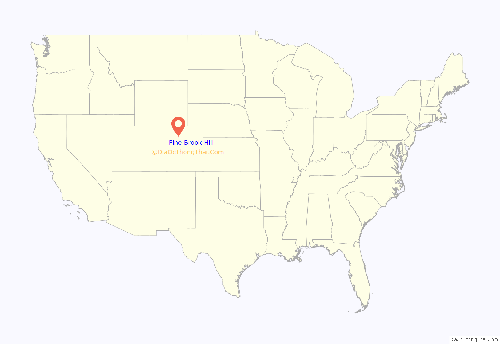
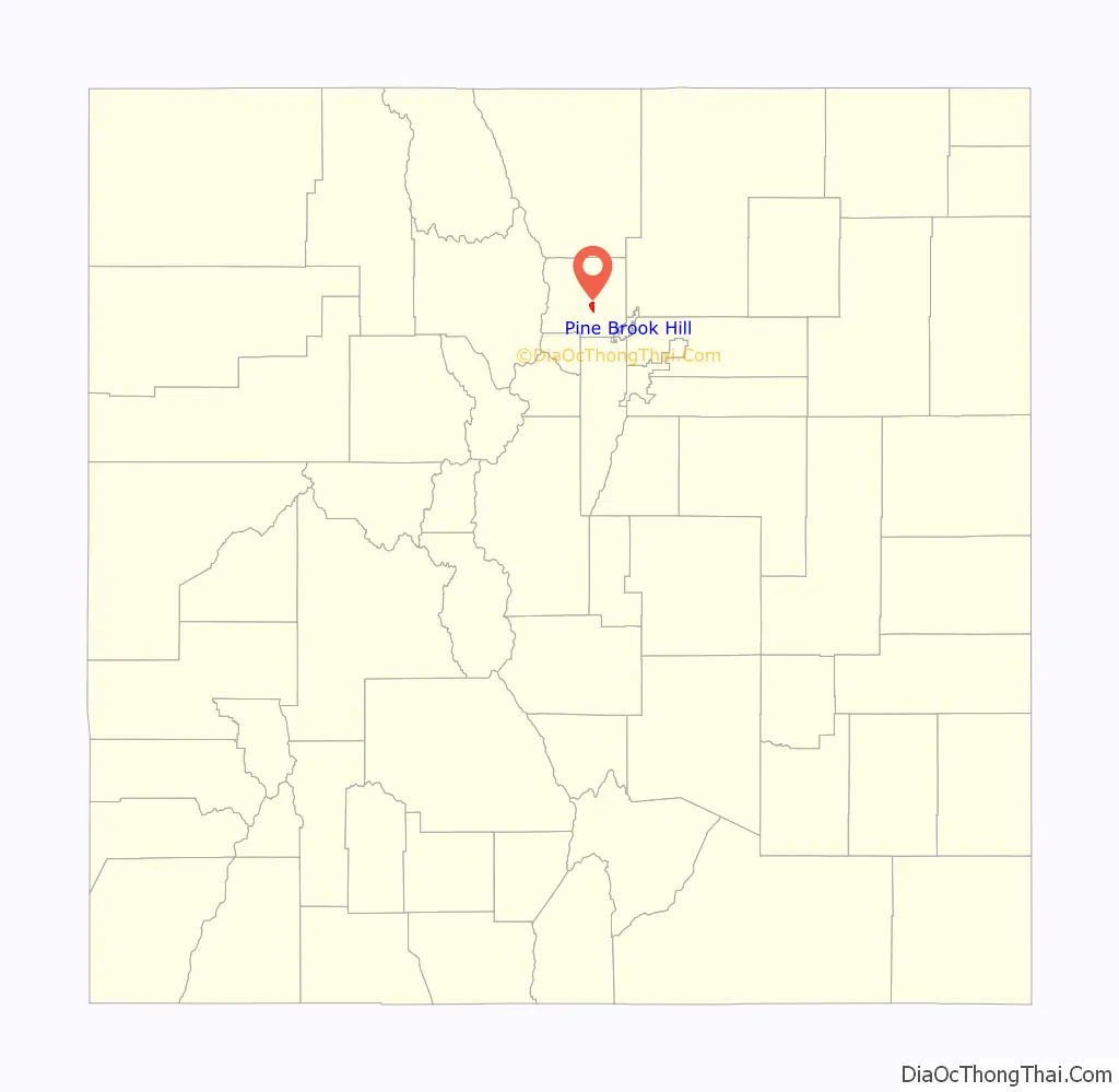
Pine Brook Hill location map. Where is Pine Brook Hill CDP?
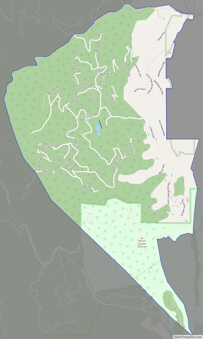
Pine Brook Hill Road Map
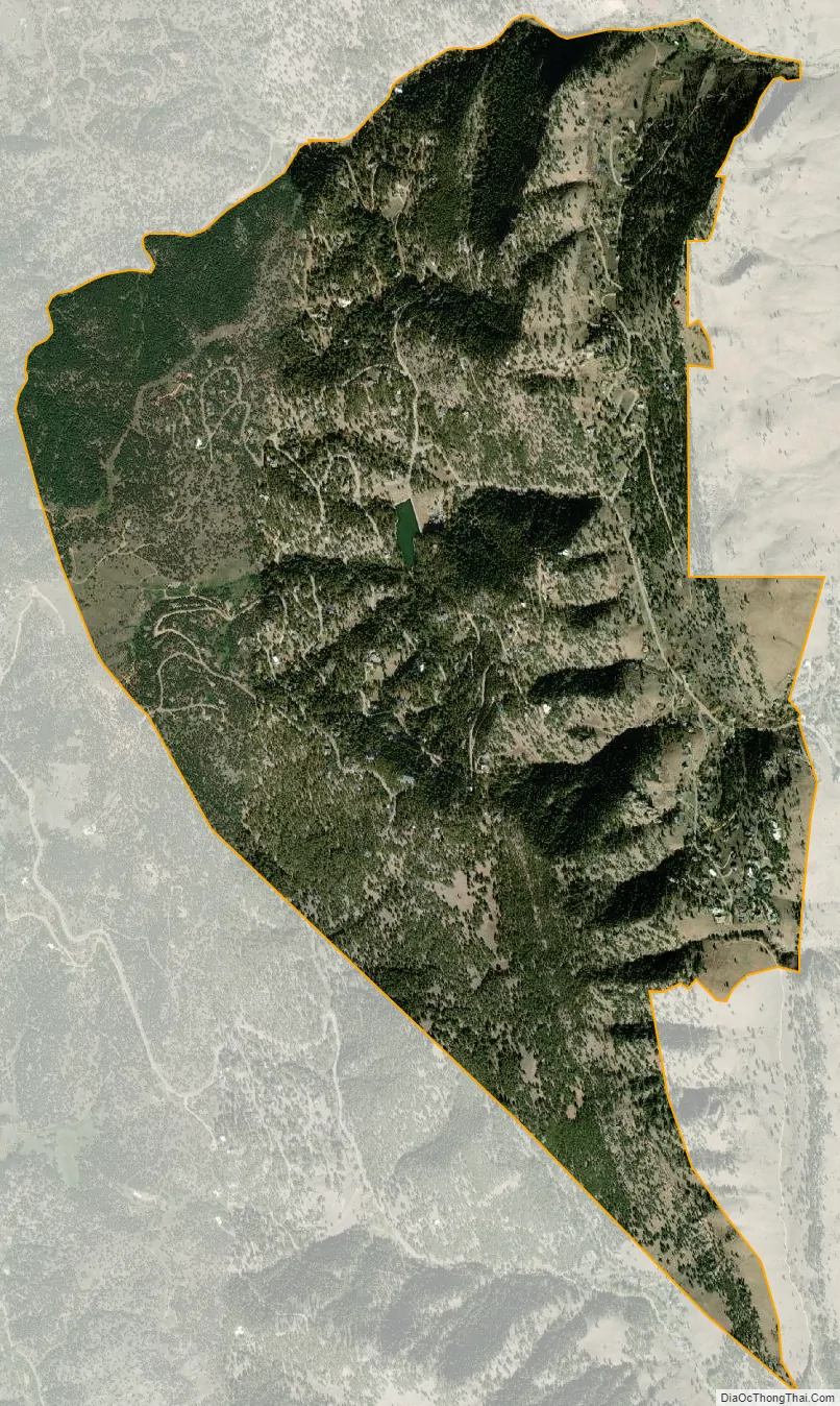
Pine Brook Hill city Satellite Map
Geography
Pine Brook Hill is located in central Boulder County on the northwest edge of the city of Boulder. It is located in the hills directly overlooking Boulder, with elevations ranging from 5,800 feet (1,800 m) at the eastern base of the hills to 6,953 feet (2,119 m) on a hilltop near the western edge of the CDP.
The Pine Brook Hill CDP has an area of 1,835 acres (7.426 km), including 4.4 acres (0.018 km) of water.
See also
Map of Colorado State and its subdivision:- Adams
- Alamosa
- Arapahoe
- Archuleta
- Baca
- Bent
- Boulder
- Broomfield
- Chaffee
- Cheyenne
- Clear Creek
- Conejos
- Costilla
- Crowley
- Custer
- Delta
- Denver
- Dolores
- Douglas
- Eagle
- El Paso
- Elbert
- Fremont
- Garfield
- Gilpin
- Grand
- Gunnison
- Hinsdale
- Huerfano
- Jackson
- Jefferson
- Kiowa
- Kit Carson
- La Plata
- Lake
- Larimer
- Las Animas
- Lincoln
- Logan
- Mesa
- Mineral
- Moffat
- Montezuma
- Montrose
- Morgan
- Otero
- Ouray
- Park
- Phillips
- Pitkin
- Prowers
- Pueblo
- Rio Blanco
- Rio Grande
- Routt
- Saguache
- San Juan
- San Miguel
- Sedgwick
- Summit
- Teller
- Washington
- Weld
- Yuma
- Alabama
- Alaska
- Arizona
- Arkansas
- California
- Colorado
- Connecticut
- Delaware
- District of Columbia
- Florida
- Georgia
- Hawaii
- Idaho
- Illinois
- Indiana
- Iowa
- Kansas
- Kentucky
- Louisiana
- Maine
- Maryland
- Massachusetts
- Michigan
- Minnesota
- Mississippi
- Missouri
- Montana
- Nebraska
- Nevada
- New Hampshire
- New Jersey
- New Mexico
- New York
- North Carolina
- North Dakota
- Ohio
- Oklahoma
- Oregon
- Pennsylvania
- Rhode Island
- South Carolina
- South Dakota
- Tennessee
- Texas
- Utah
- Vermont
- Virginia
- Washington
- West Virginia
- Wisconsin
- Wyoming


