Sedgwick is a statutory town in Sedgwick County, Colorado, United States. The population was 172 at the 2020 census.
| Name: | Sedgwick town |
|---|---|
| LSAD Code: | 43 |
| LSAD Description: | town (suffix) |
| State: | Colorado |
| County: | Sedgwick County |
| Incorporated: | January 28, 1918 |
| Elevation: | 3,586 ft (1,093 m) |
| Total Area: | 0.35 sq mi (0.90 km²) |
| Land Area: | 0.35 sq mi (0.90 km²) |
| Water Area: | 0.00 sq mi (0.00 km²) |
| Total Population: | 172 |
| Population Density: | 490/sq mi (190/km²) |
| ZIP code: | 80749 |
| Area code: | 970 |
| FIPS code: | 0868930 |
| GNISfeature ID: | 0182694 |
| Website: | www.sedgwickcolorado.com |
Online Interactive Map
Click on ![]() to view map in "full screen" mode.
to view map in "full screen" mode.
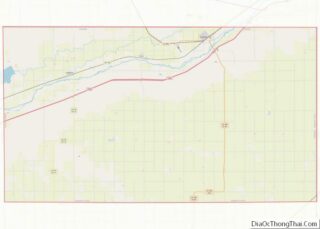
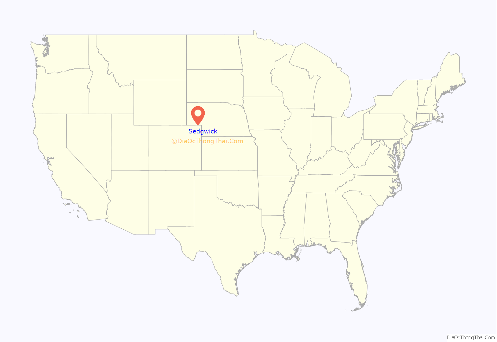
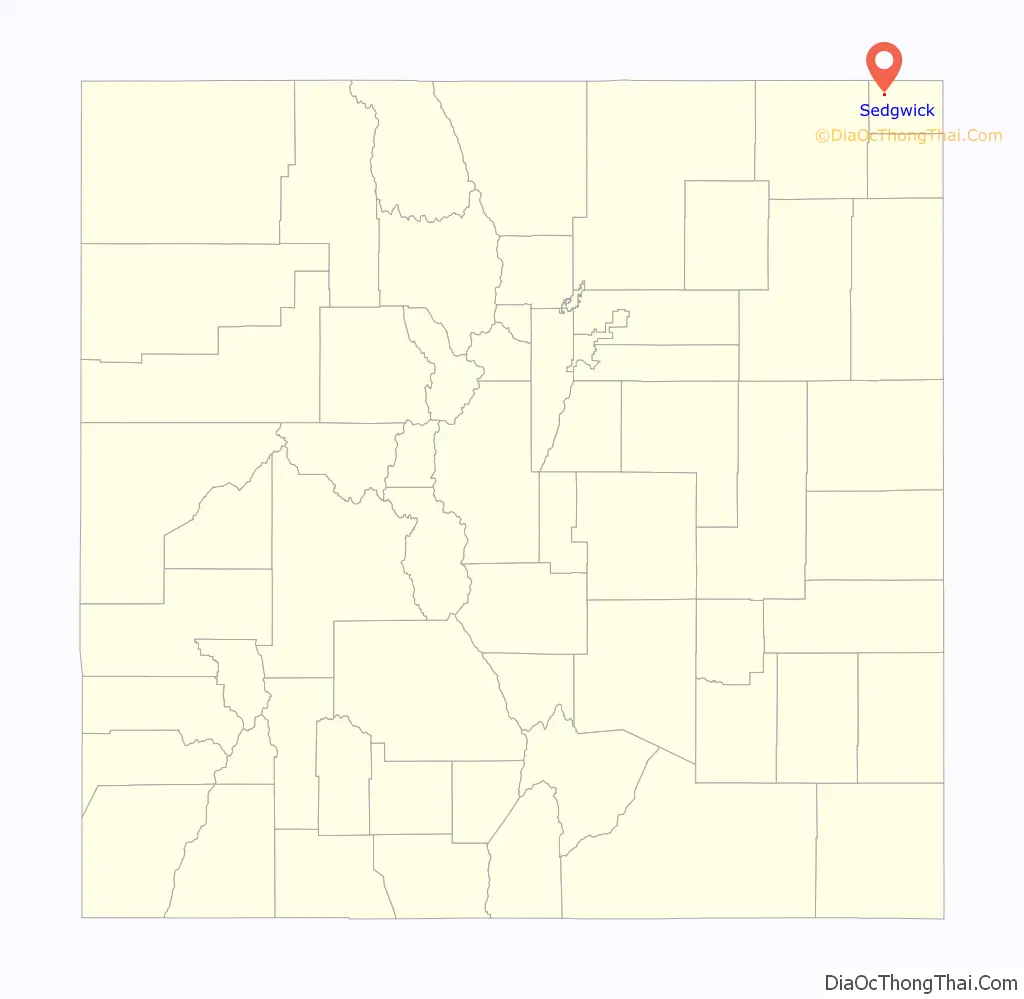
Sedgwick location map. Where is Sedgwick town?
History
The town was named for Fort Sedgwick, which was named after John Sedgwick, who was a major general in the Union Army during the American Civil War.
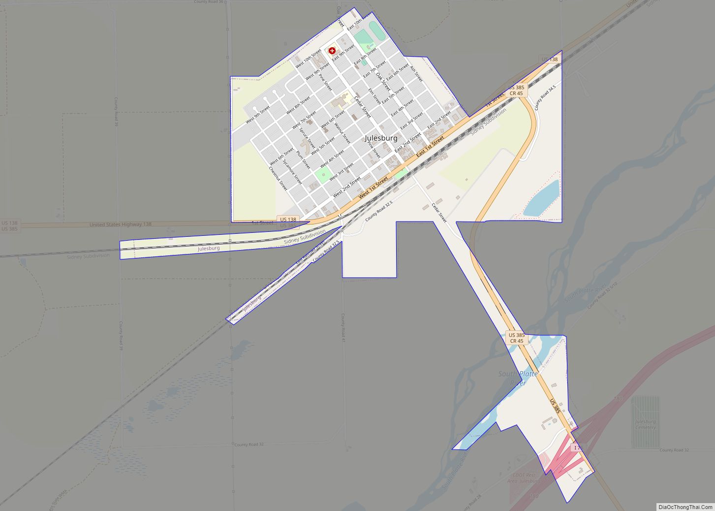
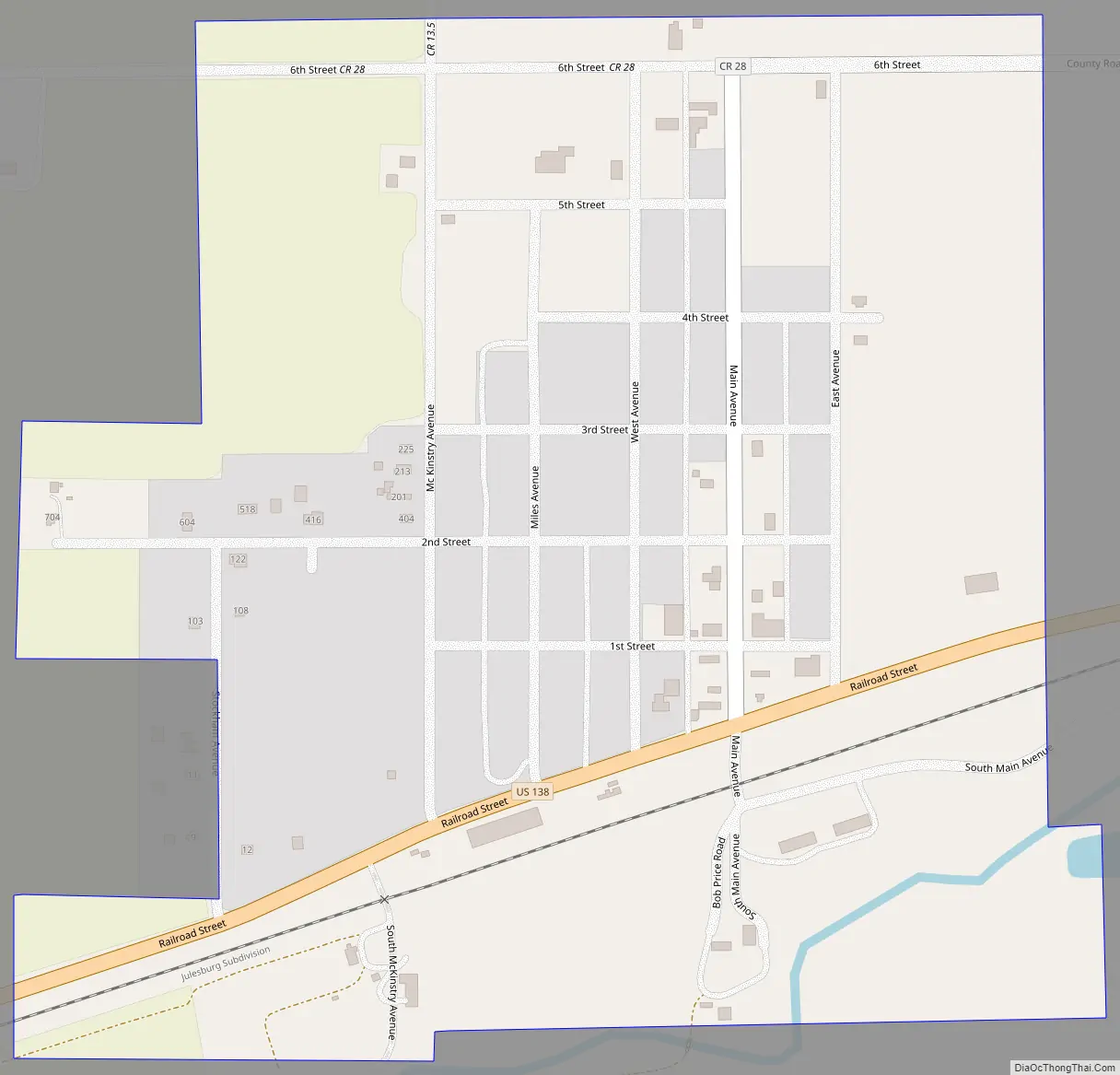
Sedgwick Road Map
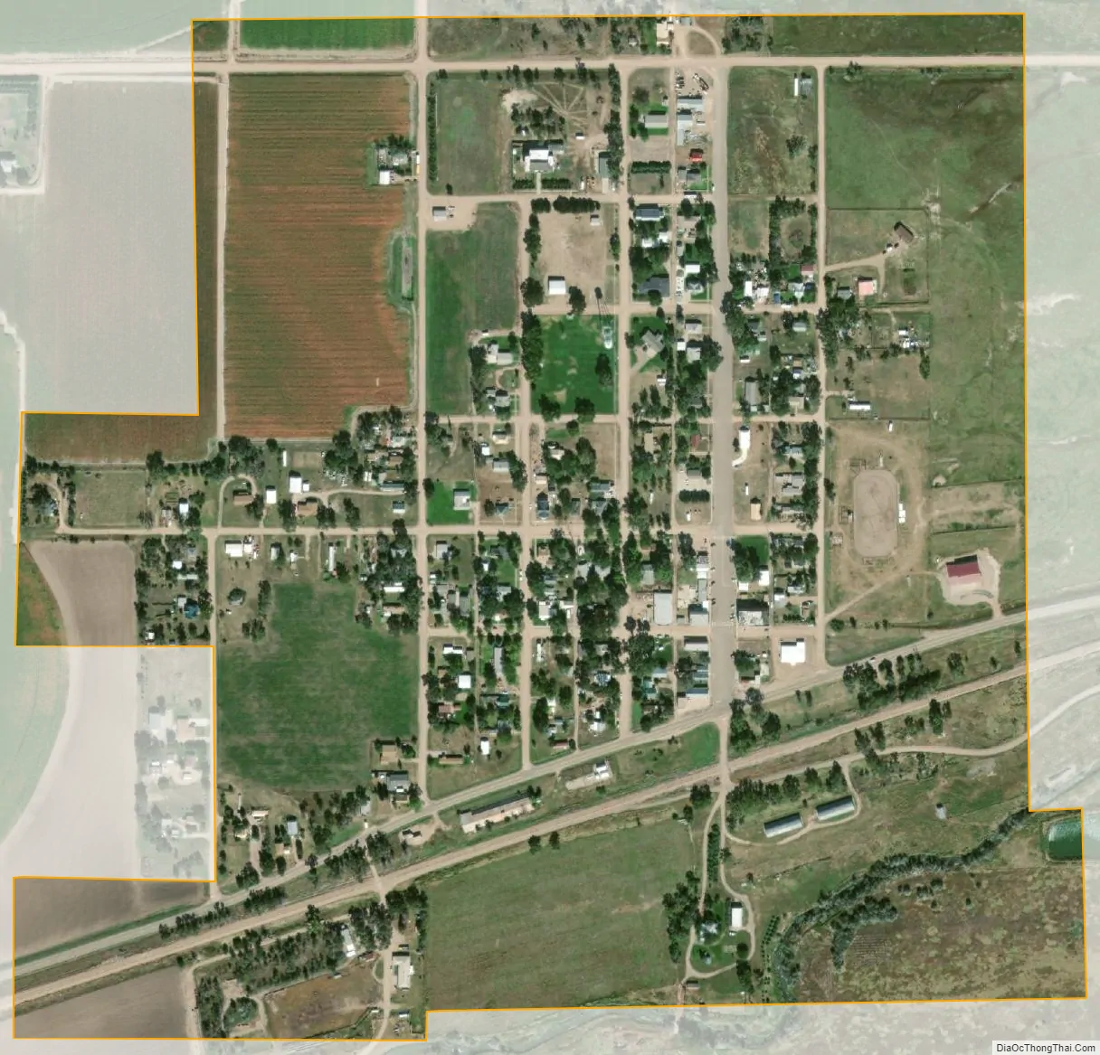
Sedgwick city Satellite Map
Geography
Sedgwick is located at 40°56′9″N 102°31′31″W / 40.93583°N 102.52528°W / 40.93583; -102.52528 (40.935706, -102.525272). According to the United States Census Bureau, the town has a total area of 0.3 square miles (0.78 km), all of it land.
Climate
According to the Köppen Climate Classification system, Sedgwick has a semi-arid climate, abbreviated “BSk” on climate maps. July 1954 was one of Sedgwick’s warmest months to date. The town had 16 days of temperatures at or above 100 °F (37.8 °C) and on July 11, 1954, Sedgwick saw its temperature rise to 114 °F (46 °C).
See also
Map of Colorado State and its subdivision:- Adams
- Alamosa
- Arapahoe
- Archuleta
- Baca
- Bent
- Boulder
- Broomfield
- Chaffee
- Cheyenne
- Clear Creek
- Conejos
- Costilla
- Crowley
- Custer
- Delta
- Denver
- Dolores
- Douglas
- Eagle
- El Paso
- Elbert
- Fremont
- Garfield
- Gilpin
- Grand
- Gunnison
- Hinsdale
- Huerfano
- Jackson
- Jefferson
- Kiowa
- Kit Carson
- La Plata
- Lake
- Larimer
- Las Animas
- Lincoln
- Logan
- Mesa
- Mineral
- Moffat
- Montezuma
- Montrose
- Morgan
- Otero
- Ouray
- Park
- Phillips
- Pitkin
- Prowers
- Pueblo
- Rio Blanco
- Rio Grande
- Routt
- Saguache
- San Juan
- San Miguel
- Sedgwick
- Summit
- Teller
- Washington
- Weld
- Yuma
- Alabama
- Alaska
- Arizona
- Arkansas
- California
- Colorado
- Connecticut
- Delaware
- District of Columbia
- Florida
- Georgia
- Hawaii
- Idaho
- Illinois
- Indiana
- Iowa
- Kansas
- Kentucky
- Louisiana
- Maine
- Maryland
- Massachusetts
- Michigan
- Minnesota
- Mississippi
- Missouri
- Montana
- Nebraska
- Nevada
- New Hampshire
- New Jersey
- New Mexico
- New York
- North Carolina
- North Dakota
- Ohio
- Oklahoma
- Oregon
- Pennsylvania
- Rhode Island
- South Carolina
- South Dakota
- Tennessee
- Texas
- Utah
- Vermont
- Virginia
- Washington
- West Virginia
- Wisconsin
- Wyoming