The Town of Silverthorne is a home rule municipality in Summit County, Colorado. According to the 2020 Census, the population of the city is 4,402.
| Name: | Silverthorne town |
|---|---|
| LSAD Code: | 43 |
| LSAD Description: | town (suffix) |
| State: | Colorado |
| County: | Summit County |
| Incorporated: | September 5, 1967 |
| Elevation: | 9,035 ft (2,754 m) |
| Total Area: | 4.07 sq mi (10.54 km²) |
| Land Area: | 4.00 sq mi (10.37 km²) |
| Water Area: | 0.07 sq mi (0.17 km²) |
| Total Population: | 4,402 |
| Population Density: | 1,100/sq mi (420/km²) |
| ZIP code: | 80497 (Post-office box), 80498 |
| Area code: | 970 |
| FIPS code: | 0870525 |
| GNISfeature ID: | 0204668 |
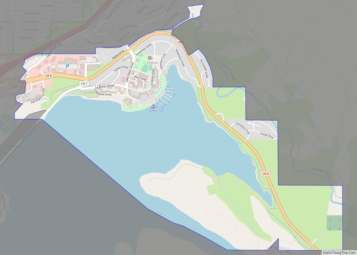
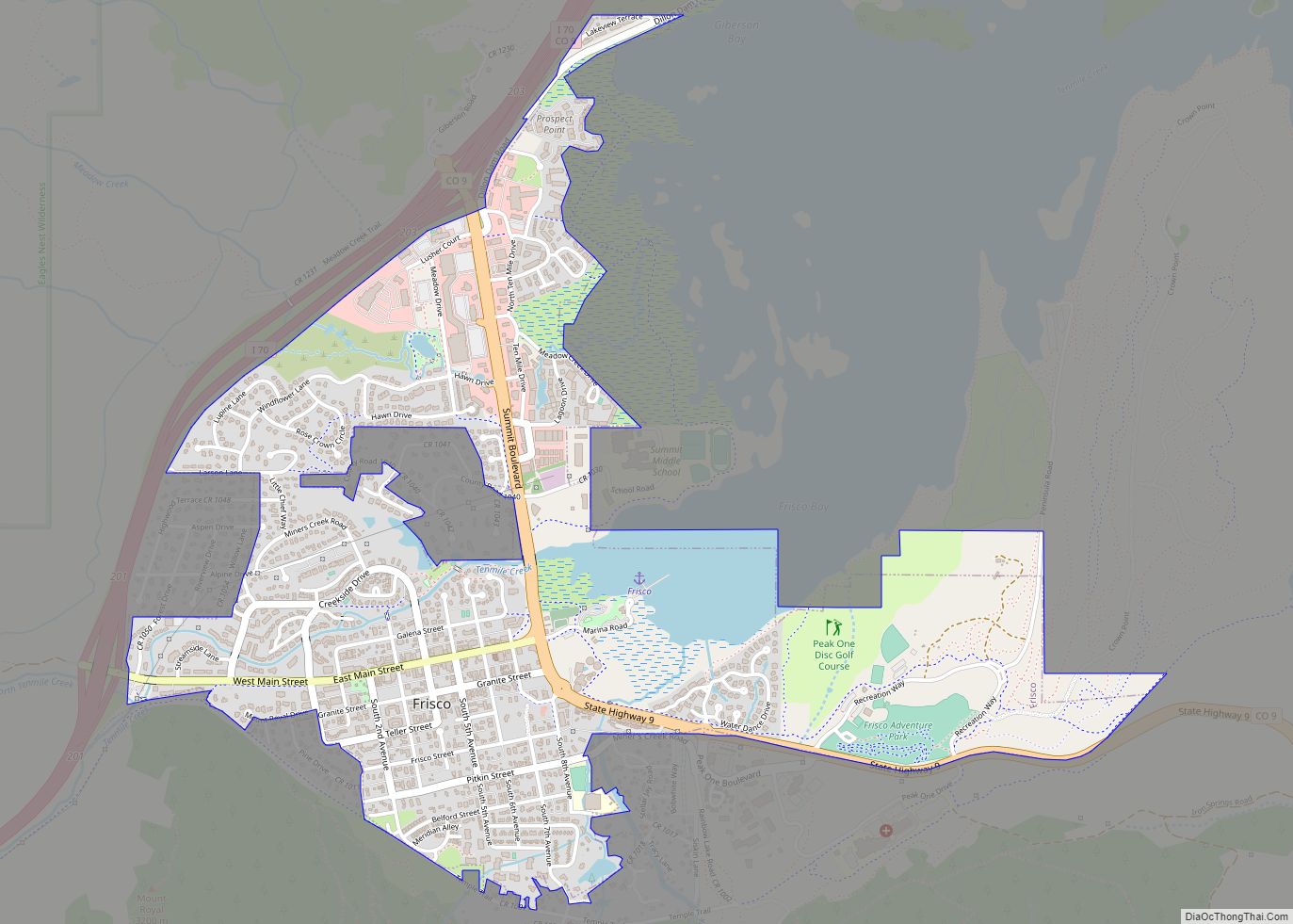
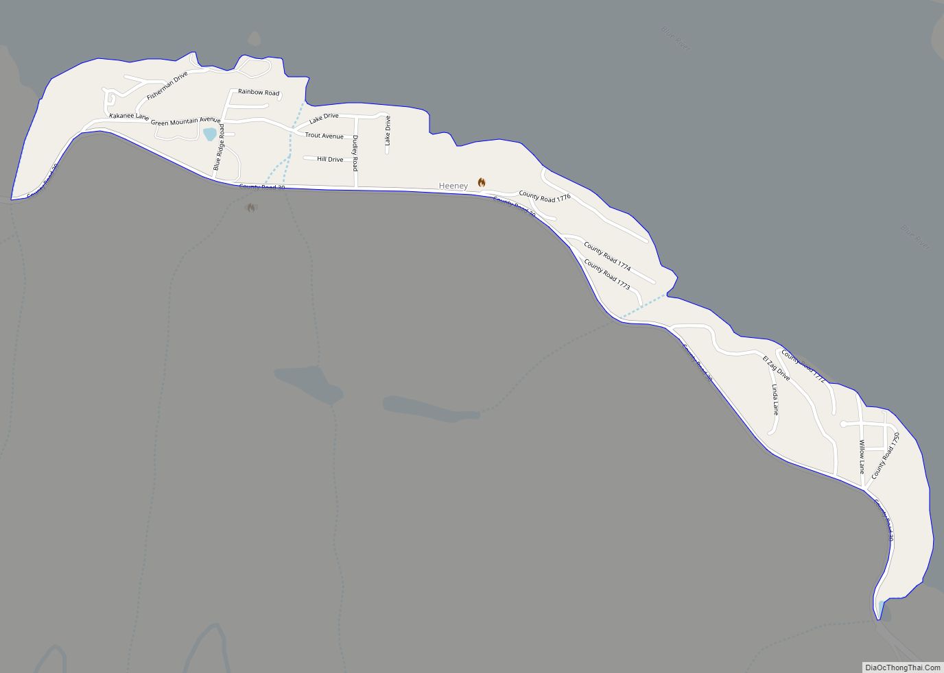
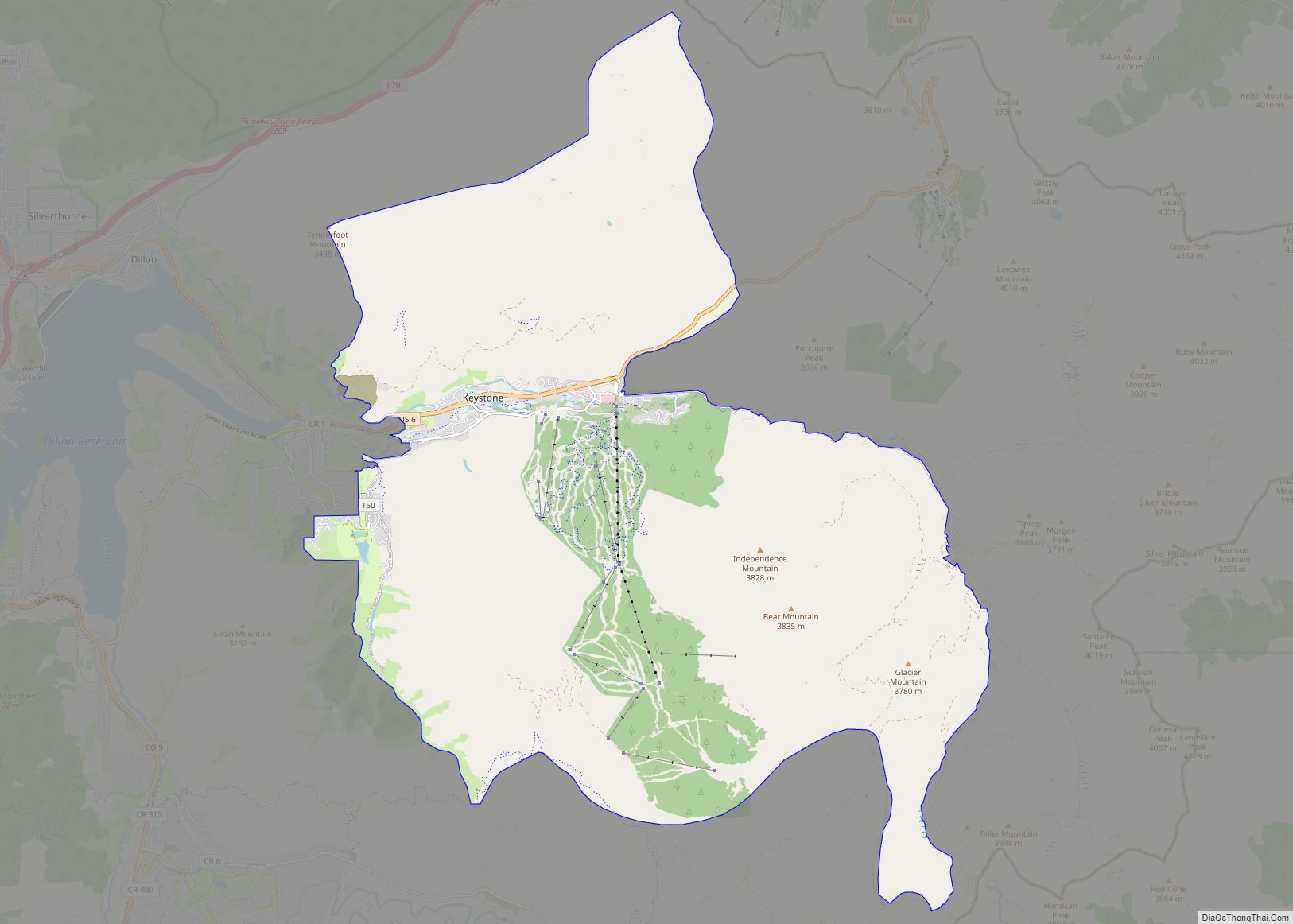
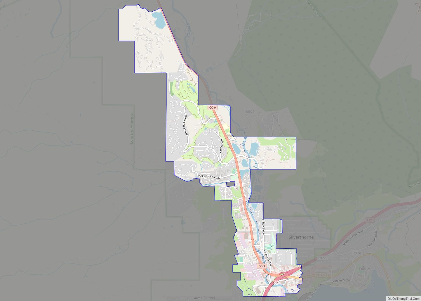
Online Interactive Map
Click on ![]() to view map in "full screen" mode.
to view map in "full screen" mode.
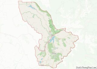
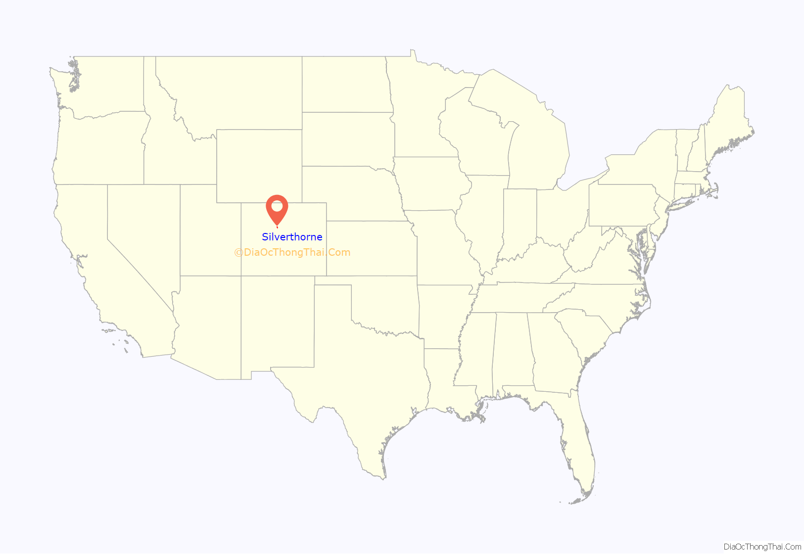
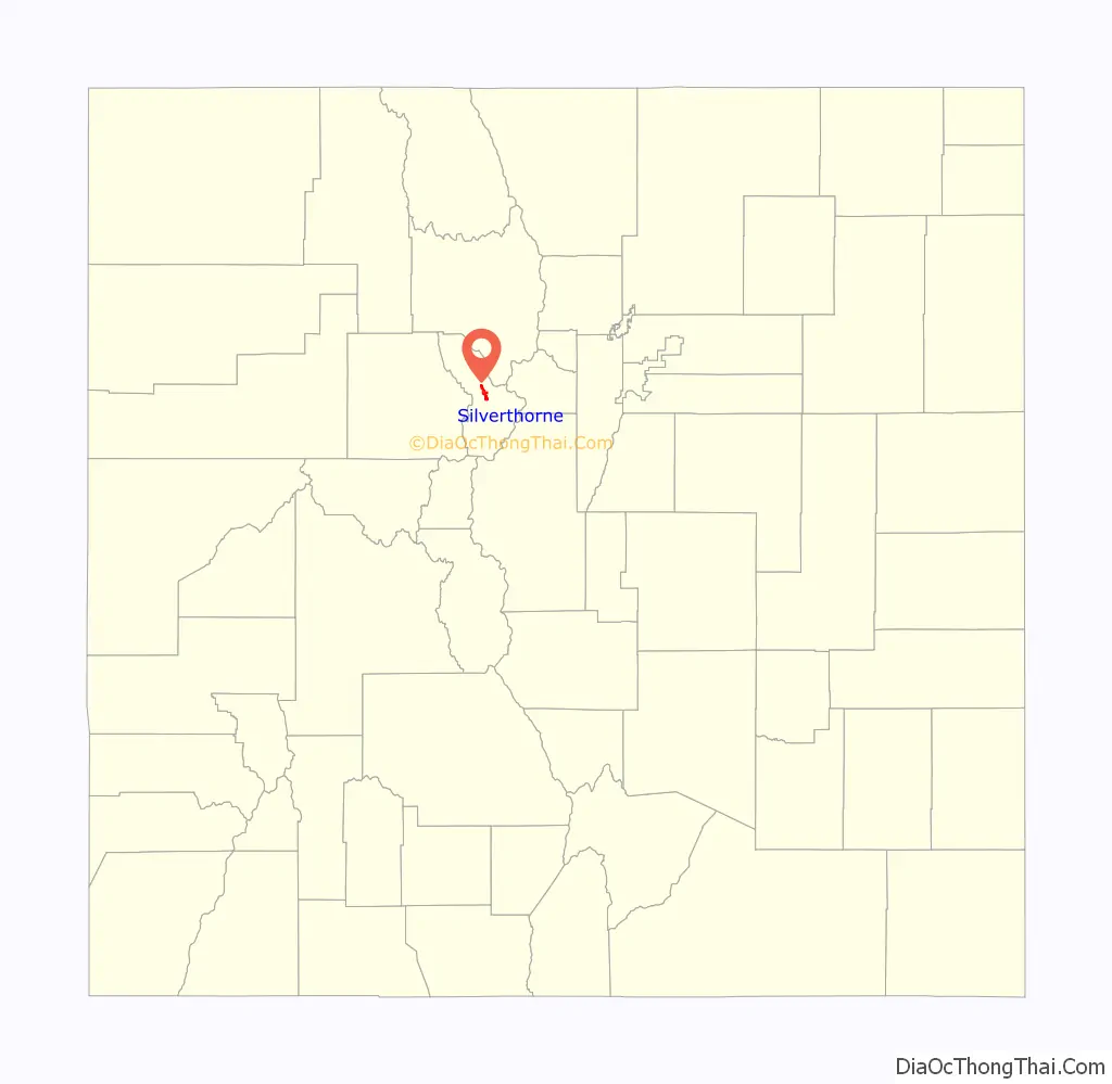
Silverthorne location map. Where is Silverthorne town?
History
The town was named for Judge Marshall Silverthorn who served as the judge of the miners’ court in Breckenridge. The judge first came to town as a prospector and claimed a section of the Blue River in 1881. After patenting his claim in April 1882, he was disappointed to find the gold to be sparse and the claim a poor bet. The land passed to his daughters on his death in 1887 and was then sold several times to various mining companies. In 1953 Clayton Hill bought the property and subdivided it for homes and stores.
Silverthorne served as a makeshift camp for workers during the construction of the Dillon Reservoir from 1961–1963, and later as a stop along Interstate 70. It was eventually incorporated on April 5, 1967.
The city has expanded several times since incorporation by annexation.
Since 2016, the town of Silverthorne has hosted the Silverthon Games, an annual competition featuring a seasonally-based slate of individual and team events, culminating with the heavily-spectated Hummingbird Circle race.
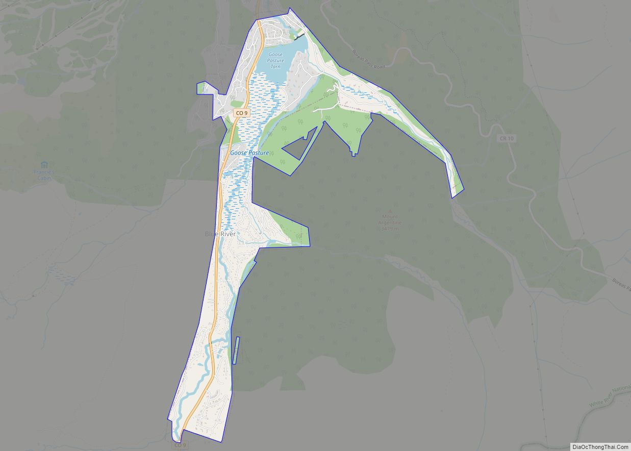
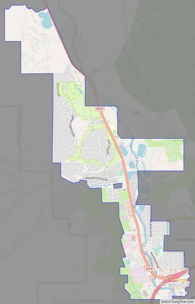
Silverthorne Road Map
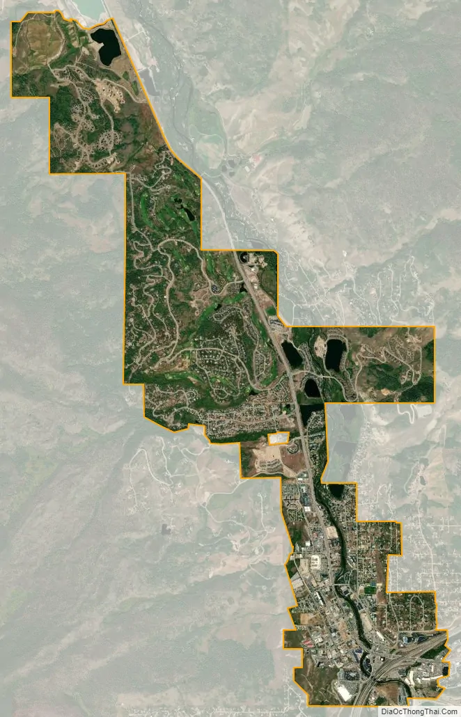
Silverthorne city Satellite Map
Geography
Silverthorne is located at 39°38′18″N 106°04′35″W / 39.638391°N 106.076505°W / 39.638391; -106.076505, at 8,730 feet above sea level (2661 meters). The town is situated between the Gore Range to the west and the Continental Divide to the east. The two most visible mountains are Buffalo and Red Mountains. Also surrounding the valley are Ptarmigan, Tenderfoot, and Ten Mile Peaks.
According to the United States Census Bureau, the town has a total area of 3.2 square miles (8.3 km), of which, 3.2 square miles (8.3 km) of it is land and 0.04 square miles (0.10 km) of it (0.94%) is water.
See also
Map of Colorado State and its subdivision:- Adams
- Alamosa
- Arapahoe
- Archuleta
- Baca
- Bent
- Boulder
- Broomfield
- Chaffee
- Cheyenne
- Clear Creek
- Conejos
- Costilla
- Crowley
- Custer
- Delta
- Denver
- Dolores
- Douglas
- Eagle
- El Paso
- Elbert
- Fremont
- Garfield
- Gilpin
- Grand
- Gunnison
- Hinsdale
- Huerfano
- Jackson
- Jefferson
- Kiowa
- Kit Carson
- La Plata
- Lake
- Larimer
- Las Animas
- Lincoln
- Logan
- Mesa
- Mineral
- Moffat
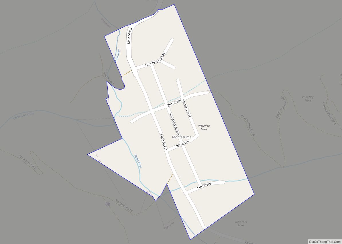
- Montezuma
- Montrose
- Morgan
- Otero
- Ouray
- Park
- Phillips
- Pitkin
- Prowers
- Pueblo
- Rio Blanco
- Rio Grande
- Routt
- Saguache
- San Juan
- San Miguel
- Sedgwick
- Summit
- Teller
- Washington
- Weld
- Yuma
- Alabama
- Alaska
- Arizona
- Arkansas
- California
- Colorado
- Connecticut
- Delaware
- District of Columbia
- Florida
- Georgia
- Hawaii
- Idaho
- Illinois
- Indiana
- Iowa
- Kansas
- Kentucky
- Louisiana
- Maine
- Maryland
- Massachusetts
- Michigan
- Minnesota
- Mississippi
- Missouri
- Montana
- Nebraska
- Nevada
- New Hampshire
- New Jersey
- New Mexico
- New York
- North Carolina
- North Dakota
- Ohio
- Oklahoma
- Oregon
- Pennsylvania
- Rhode Island
- South Carolina
- South Dakota
- Tennessee
- Texas
- Utah
- Vermont
- Virginia
- Washington
- West Virginia
- Wisconsin
- Wyoming