Vail is a home rule municipality in Eagle County, Colorado, United States. The population of the town was 4,835 in 2020. Home to Vail Ski Resort, the largest ski mountain in Colorado, the town is known for its hotels, dining, and for the numerous events the city hosts annually, such as the Vail Film Festival, Vail Resorts Snow Days, and Bravo! Vail.
| Name: | Vail town |
|---|---|
| LSAD Code: | 43 |
| LSAD Description: | town (suffix) |
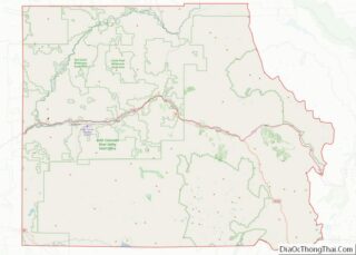
| State: | Colorado |
| County: | Eagle County |
| Incorporated: | 1966 |
| Elevation: | 8,150 ft (2,484 m) |
| Total Area: | 4.72 sq mi (12.23 km²) |
| Land Area: | 4.71 sq mi (12.19 km²) |
| Water Area: | 0.01 sq mi (0.04 km²) |
| Total Population: | 4,835 |
| ZIP code: | 81657 |
| Area code: | 970 |
| FIPS code: | 0880040 |
| GNISfeature ID: | 0202339 |
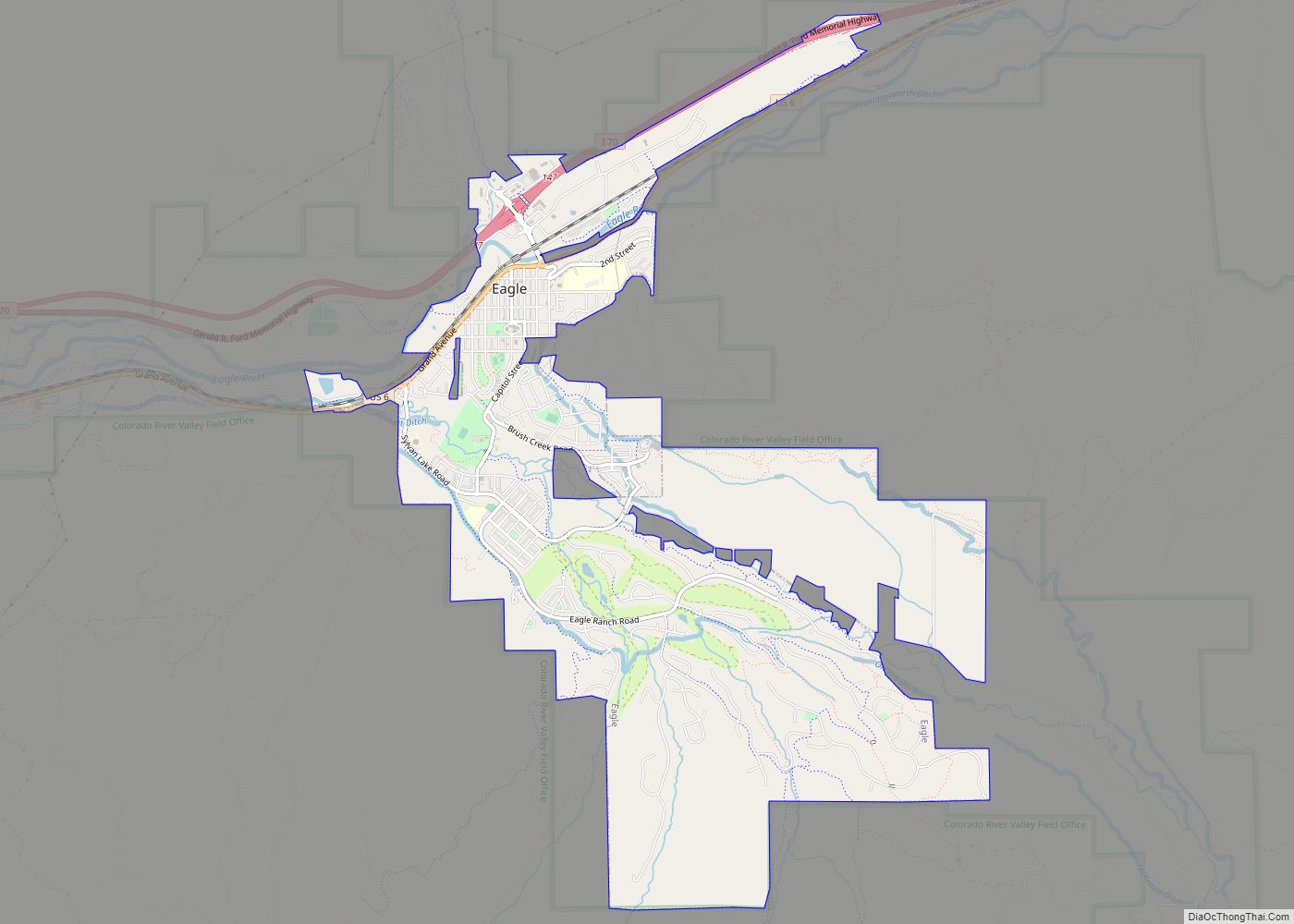
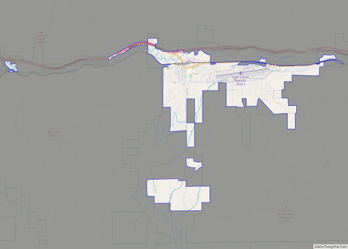
Online Interactive Map
Click on ![]() to view map in "full screen" mode.
to view map in "full screen" mode.
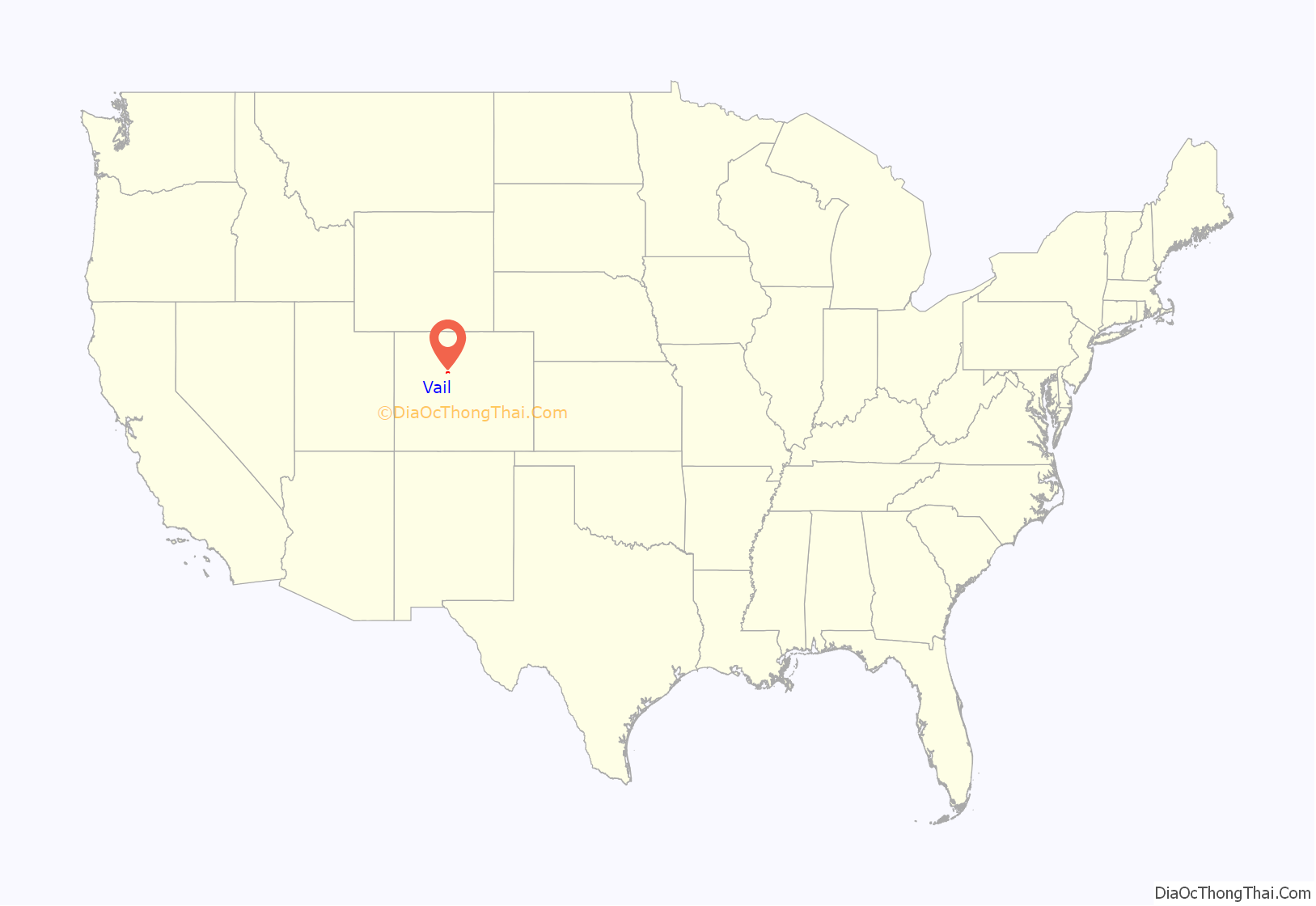
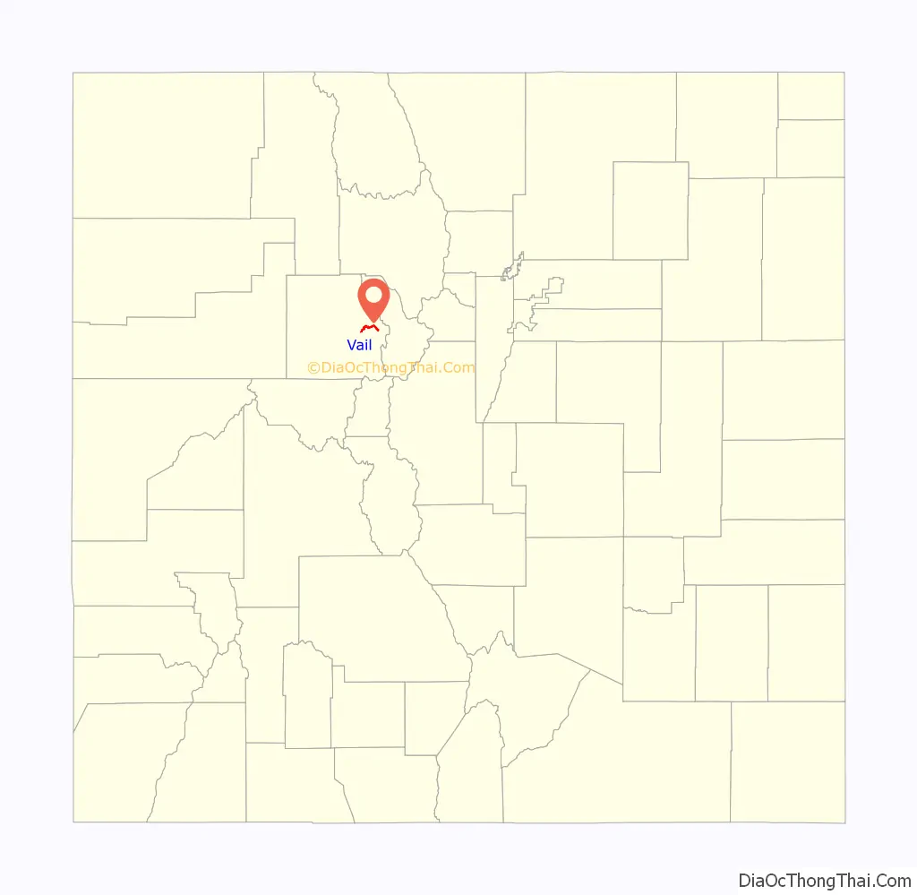
Vail location map. Where is Vail town?
History
Vail was incorporated in 1966, four years after the opening of Vail Ski Resort. The ski area was founded by Pete Seibert and local rancher Earl Eaton in 1962, at the base of Vail Pass. The pass was named after Charles Vail, the highway engineer who routed U.S. Highway 6 through the Eagle Valley in 1940, which eventually became Interstate 70. Seibert, a New England native, served in the U.S. Army’s 10th Mountain Division during World War II, which trained at Camp Hale, 14 miles south of Vail between Red Cliff and Leadville. He was wounded in Italy at the Battle of Riva Ridge but went on to become a professional skier after he recovered.
Seibert, with other former members of the 10th Mountain Division, returned to Colorado after World War II with the intention of opening a ski resort. During training for ski troopers at Camp Hale, he bivouacked on Vail Mountain and identified it as an ideal ski mountain. In the early 1960s, Seibert got funds from a group of Colorado investors, including Jack Tweedy, and with Earl Eaton bought a ranch at the base of the mountain and eventually incorporated as Vail Associates. As plans continued for a new ski resort, Seibert hired Morrie Shepard as Vail’s first ski school director. Shortly after, Shepard recruited Rod Slifer from Aspen to be the assistant ski school director. Slifer also became the only real estate broker in the early years of Vail and would later be the broker in the transaction that allowed Vail to buy a ranch, now known as the world-famous Beaver Creek.
In December 1962, Vail officially opened for its first season. It operated a gondola lift and two ski lifts on the mountain owned by the United States Forest Service. The village was established at the base of the mountain for local residents and offered lodging for visitors. It quickly grew throughout the valley, with housing added first in East Vail and then West Vail, and additional lodging added in Lionshead in the late 1960s.
Within the first year, the village had a ski shop operated by Dick Hauserman and Joe Langmaid, a ski boutique operated by Blanche Hauserman and Bunny Langmaid, a hotel and restaurant operated by Pepi Gramshammer, and the mountain had a manager. By 1969, Vail was the most popular ski resort in the state. In 1988 Vail opened China Bowl, making Vail the third largest ski area in North America.
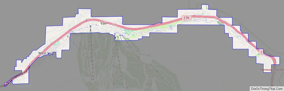
Vail Road Map
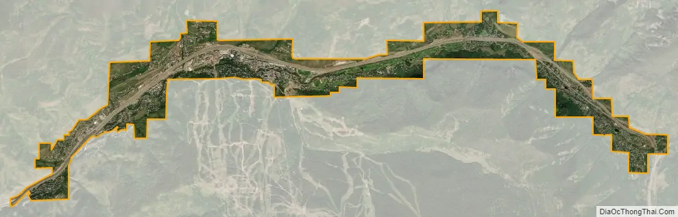
Vail city Satellite Map
Geography
Vail’s average elevation is 8,150 feet (2,480 m) above sea level. The town has a total area of 4.5 square miles (12 km), with no lakes (there is, however, at least one pond). Gore Creek flows from east to west through the center of town.
The town is surrounded by the White River National Forest and the Vail Ski Resort is leased from the United States Forest Service. Mount of the Holy Cross is visible from Vail Mountain.
Vail Mountain
Vail Mountain rises from 8,120 feet (2,470 m) to 11,570 feet (3,530 m), giving a vertical rise of 3,450 feet (1,050 m). It has a 5,289 acres (2,140 ha) skiable area, 33 ski lifts, 193 marked skiing trails on three faces: the front side, the back bowls, and Blue Sky Basin. The seven back bowls are Sun Down Bowl, Sun Up Bowl, Teacup Bowl, China Bowl, Siberia Bowl, Inner Mongolia Bowl, and Outer Mongolia Bowl. Blue Sky Basin includes Pete’s Bowl and Earl’s Bowl—to commemorate Pete Seibert and Earl Eaton. The mountain resort also includes 17 miles of recreation paths, botanical gardens, and an outdoor amphitheater.
Climate
Vail has warm summers and cold winters because of its elevation. Depending on the classification used, it is either an alpine or subarctic climate transitional with humid continental due to the mild daytime temperatures in September bringing the daily mean to around 50 °F (10 °C). Minimum temperatures mostly remain below the freezing point from late September to late May. The town receives an average of 200 inches (5.1 m) of snowfall per season, with even more in the surrounding mountains. Roads may close occasionally during heavy snowfall. Summer temperatures can reach the 80s, but are more often in the mid to high 70s. Combined with mountain breezes, this makes summers refreshing and cool. For being a borderline subarctic climate daytime temperatures are very mild, indicating high diurnal temperature variation due to the altitude.
See also
Map of Colorado State and its subdivision:- Adams
- Alamosa
- Arapahoe
- Archuleta
- Baca
- Bent
- Boulder
- Broomfield
- Chaffee
- Cheyenne
- Clear Creek
- Conejos
- Costilla
- Crowley
- Custer
- Delta
- Denver
- Dolores
- Douglas
- Eagle
- El Paso
- Elbert
- Fremont
- Garfield
- Gilpin
- Grand
- Gunnison
- Hinsdale
- Huerfano
- Jackson
- Jefferson
- Kiowa
- Kit Carson
- La Plata
- Lake
- Larimer
- Las Animas
- Lincoln
- Logan
- Mesa
- Mineral
- Moffat
- Montezuma
- Montrose
- Morgan
- Otero
- Ouray
- Park
- Phillips
- Pitkin
- Prowers
- Pueblo
- Rio Blanco
- Rio Grande
- Routt
- Saguache
- San Juan
- San Miguel
- Sedgwick
- Summit
- Teller
- Washington
- Weld
- Yuma
- Alabama
- Alaska
- Arizona
- Arkansas
- California
- Colorado
- Connecticut
- Delaware
- District of Columbia
- Florida
- Georgia
- Hawaii
- Idaho
- Illinois
- Indiana
- Iowa
- Kansas
- Kentucky
- Louisiana
- Maine
- Maryland
- Massachusetts
- Michigan
- Minnesota
- Mississippi
- Missouri
- Montana
- Nebraska
- Nevada
- New Hampshire
- New Jersey
- New Mexico
- New York
- North Carolina
- North Dakota
- Ohio
- Oklahoma
- Oregon
- Pennsylvania
- Rhode Island
- South Carolina
- South Dakota
- Tennessee
- Texas
- Utah
- Vermont
- Virginia
- Washington
- West Virginia
- Wisconsin
- Wyoming