Valmont is an unincorporated community and a census-designated place (CDP) located in and governed by Boulder County, Colorado, United States. The CDP is a part of the Boulder, CO Metropolitan Statistical Area. The population of the Valmont CDP was 64 at the United States Census 2020. The Boulder post office (Zip Code 80301) serves the area.
| Name: | Valmont CDP |
|---|---|
| LSAD Code: | 57 |
| LSAD Description: | CDP (suffix) |
| State: | Colorado |
| County: | Boulder County |
| Total Area: | 0.352 sq mi (0.912 km²) |
| Land Area: | 0.269 sq mi (0.698 km²) |
| Water Area: | 0.083 sq mi (0.214 km²) |
| Total Population: | 64 |
| Population Density: | 180/sq mi (70/km²) |
| ZIP code: | Boulder 80301 |
| FIPS code: | 0880370 |
Online Interactive Map
Click on ![]() to view map in "full screen" mode.
to view map in "full screen" mode.
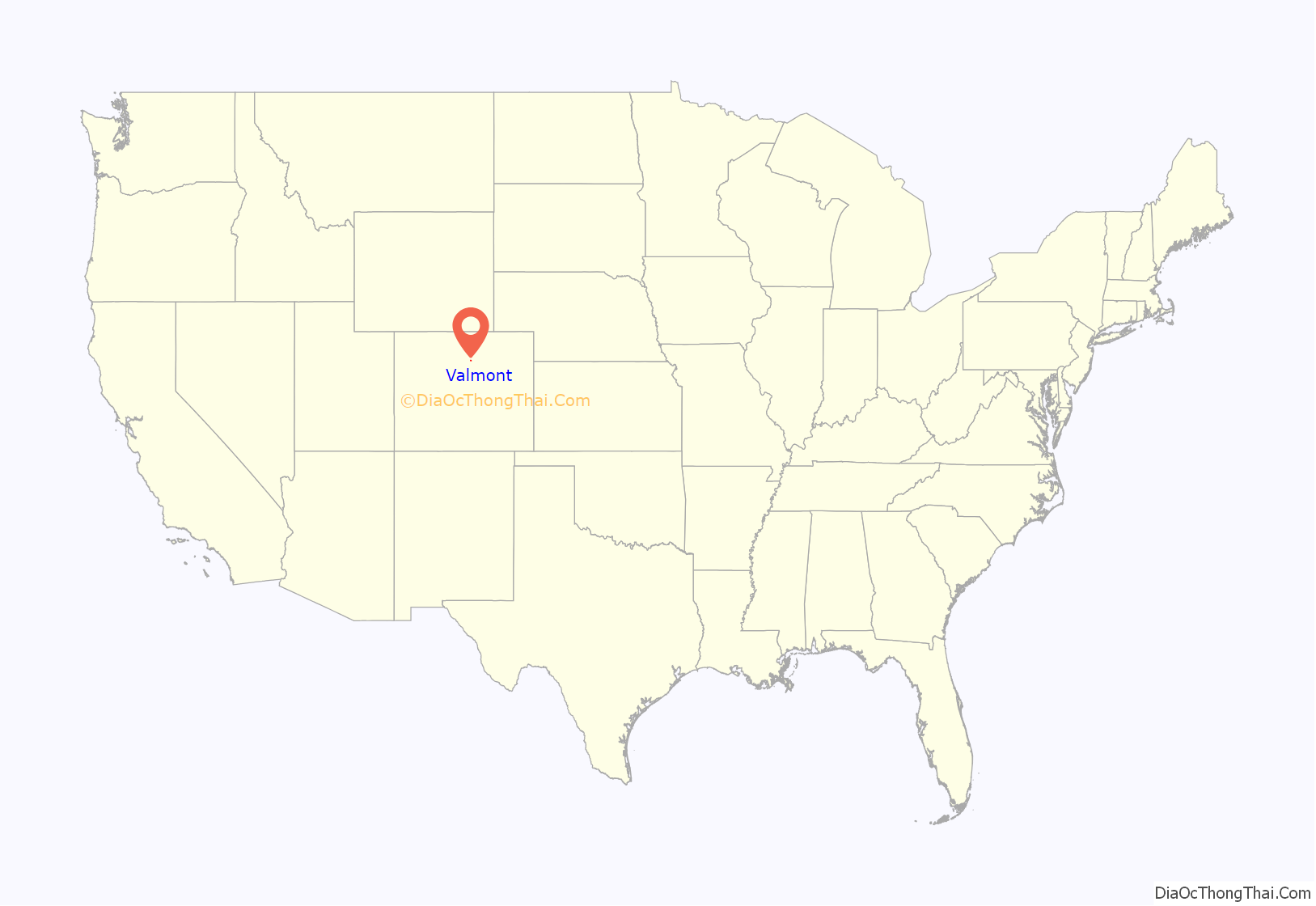
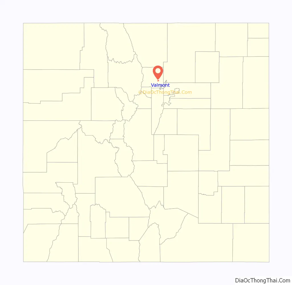
Valmont location map. Where is Valmont CDP?
History
Valmont was platted in 1865, and named for the valleys and peaks near the town site. A post office called Valmont was established in 1865, and remained in operation until 1901.
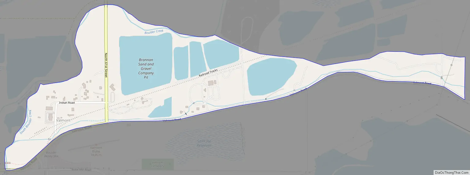
Valmont Road Map
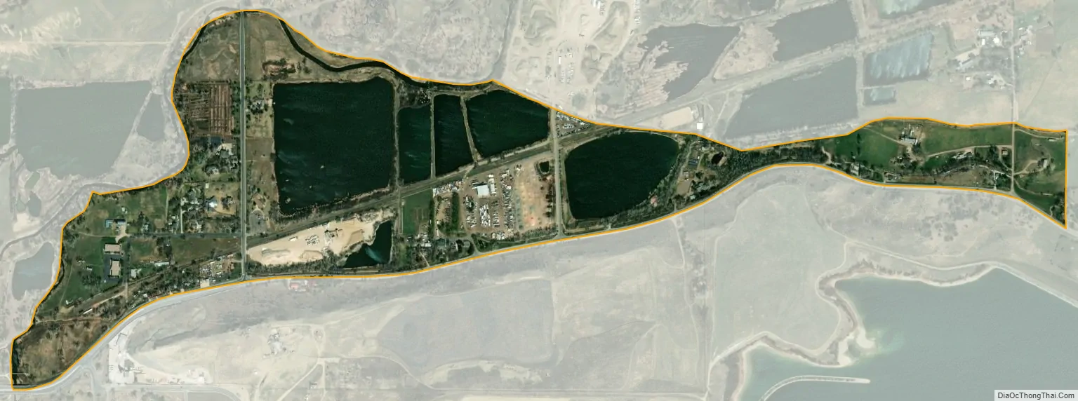
Valmont city Satellite Map
Geography
Valmont is located in southeastern Boulder County, east of the city of Boulder, between Boulder Creek to the north and 200-foot-tall (60 m) Valmont Butte to the south. Valmont Road runs through the center of the community.
The Valmont CDP has an area of 225 acres (0.912 km), including 53 acres (0.214 km) of water.
See also
Map of Colorado State and its subdivision:- Adams
- Alamosa
- Arapahoe
- Archuleta
- Baca
- Bent
- Boulder
- Broomfield
- Chaffee
- Cheyenne
- Clear Creek
- Conejos
- Costilla
- Crowley
- Custer
- Delta
- Denver
- Dolores
- Douglas
- Eagle
- El Paso
- Elbert
- Fremont
- Garfield
- Gilpin
- Grand
- Gunnison
- Hinsdale
- Huerfano
- Jackson
- Jefferson
- Kiowa
- Kit Carson
- La Plata
- Lake
- Larimer
- Las Animas
- Lincoln
- Logan
- Mesa
- Mineral
- Moffat
- Montezuma
- Montrose
- Morgan
- Otero
- Ouray
- Park
- Phillips
- Pitkin
- Prowers
- Pueblo
- Rio Blanco
- Rio Grande
- Routt
- Saguache
- San Juan
- San Miguel
- Sedgwick
- Summit
- Teller
- Washington
- Weld
- Yuma
- Alabama
- Alaska
- Arizona
- Arkansas
- California
- Colorado
- Connecticut
- Delaware
- District of Columbia
- Florida
- Georgia
- Hawaii
- Idaho
- Illinois
- Indiana
- Iowa
- Kansas
- Kentucky
- Louisiana
- Maine
- Maryland
- Massachusetts
- Michigan
- Minnesota
- Mississippi
- Missouri
- Montana
- Nebraska
- Nevada
- New Hampshire
- New Jersey
- New Mexico
- New York
- North Carolina
- North Dakota
- Ohio
- Oklahoma
- Oregon
- Pennsylvania
- Rhode Island
- South Carolina
- South Dakota
- Tennessee
- Texas
- Utah
- Vermont
- Virginia
- Washington
- West Virginia
- Wisconsin
- Wyoming


