The City of Victor is a Statutory City in Teller County, Colorado, United States. Gold was discovered in Victor in the late 19th century, an omen of the future of the town. With Cripple Creek, the mining district became the second largest gold mining district in the country and realized approximately $10 billion of mined gold in 2010 dollars. It reached its peak around the turn of the century when there were about 18,000 residents in the town. Depleted ore in mines, labor strife and the exodus of miners during World War I caused a steep decline in the city’s economy, from which it has never recovered. The population was 379 at the 2020 census. There is a resumed mining effort on Battle Mountain.
| Name: | Victor city |
|---|---|
| LSAD Code: | 25 |
| LSAD Description: | city (suffix) |
| State: | Colorado |
| County: | Teller County |
| Founded: | 1891 |
| Incorporated: | July 16, 1894 |
| Elevation: | 9,708 ft (2,959 m) |
| Total Area: | 0.29 sq mi (0.74 km²) |
| Land Area: | 0.29 sq mi (0.74 km²) |
| Water Area: | 0.00 sq mi (0.00 km²) |
| Total Population: | 379 |
| Population Density: | 1,300/sq mi (510/km²) |
| ZIP code: | 80860 |
| Area code: | 719 |
| FIPS code: | 0880865 |
| GNISfeature ID: | 0204771 |
Online Interactive Map
Click on ![]() to view map in "full screen" mode.
to view map in "full screen" mode.
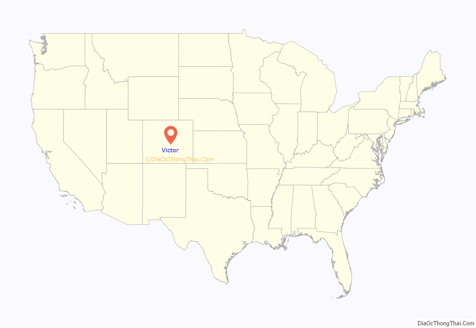
Victor location map. Where is Victor city?
History
Gold discovery
Victor was founded in 1891, shortly after Winfield Scott Stratton discovered gold nearby. The town was named after the Victor Mine, which may have been named for an early settler, Victor Adams. In 1892, Harry, Frank and Warren Woods founded the Mt. Rosa Mining, Milling and Land Company. Battle Mountain, located just above Victor, had the largest, most prolific mines in the mining district and the town became known as the “City of Mines.” Victor officially became a city on July 16, 1894. In 1894, the Woods brothers discovered gold when they began digging the foundation for a building, which resulted in the creation of the Gold Coin Mine. At that time, 8,000 people lived in Victor.
The town boomed as the surrounding Cripple Creek mining district quickly became the most productive gold mining district in Colorado. Mines in Victor and Cripple Creek provided 21 million ounces of gold. In 2010, the value of the gold would have been more than $10 billion. The mining district, which hit its peak in 1900, became the 2nd largest gold district in the country’s history.
Although Victor’s fame was overshadowed by that of its neighbor, Cripple Creek, many of the best gold mines of the Cripple Creek district were located at Victor, including Stratton’s Independence Mine and Mill and the Portland Mine. Half of Battle Mountain’s gold was extracted by the Portland Mine, which was called the “Queen of the District”. Heavyweight boxing champion William Harrison “Jack” Dempsey was a mucker in the Portland Mine.
Mine owners and investors lived in Cripple Creek, while most of the miners for the districts’ 500 mines lived in Victor.
Fire of 1899
In August 1899, the business district was destroyed in a five-hour fire. The town had about 18,000 residents at the time. As a result, many of the historic buildings date to 1899, including the St. Victor Roman Catholic church, the First Baptist Church of Victor, and the Victor Hotel.
Unionized workforce
The Western Federation of Miners (WFM) began to organize workers in a fight for shorter work days and standard wages. The workforce became heavily unionized after the Western Federation of Miners conducted a significant strike in 1894. A subsequent strike in 1903 had such an impact that it came to be called the Colorado Labor Wars. At this point, the amount of available ore to mine had declined significantly and mining in the district was further impacted by slow production as the result of violent strikes.
The WFM’s union hall in Victor still stands, with telltale bullet holes left intact. The building has structural problems and needs renovation.
Mining decline
The town declined steadily in the 20th century, as the gold mines became worked out, and the cost of mining rose relative to the price of gold (fixed at $20.67/troy ounce). Area miners enlisted during World War I, and the loss of workers created a steep decline in mining activity from which the area has not recovered.
Gold mining increased in 1934 when the federal government raised the price of gold to $34/ounce, but gold mining was shut down during World War II as nonessential to the war effort. Some mines opened after the war, but all mines in the district closed by 1962.
Resumed mining activity
The Cripple Creek & Victor Gold Mining Company formed in 1976 as a joint venture to restart mining in the district. From 1976 to 1989, the company produced 150,000 troy ounces (4,600 kg) of gold by reprocessing tailings and mining two small surface deposits. The Cripple Creek & Victor Gold Mining Company began the first large-scale open pit mining in the district in 1994. In 1995, an open pit gold mining operation, which taps into “legendary” mines, began on Battle Mountain. The Cresson mine open pits are located a few miles north of Victor. Mining continues at the Cripple Creek & Victor Gold Mine, under the ownership of AngloGold Ashanti, producing about 250,000 troy ounces of gold in 2012, in addition to several locally owned mines, all of which provide employment and revenue for the community. Ownership has recently changed from Anglo Gold to Newmont mining.
The Victor City Hall is one of several historic buildings that have been restored in downtown Victor.
Gold mine in Victor, Colorado, around 1900
Western Federation of Miners union hall
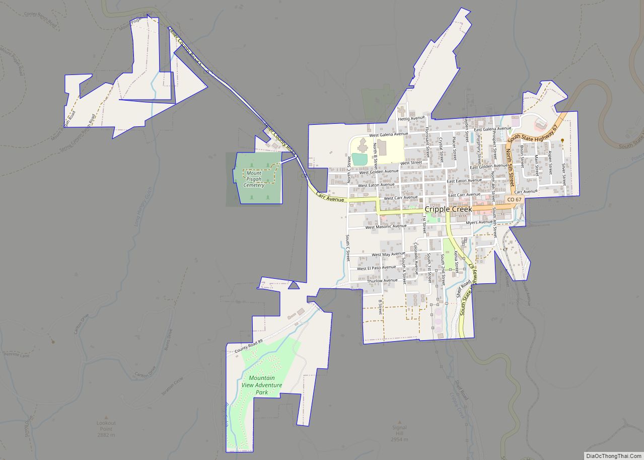
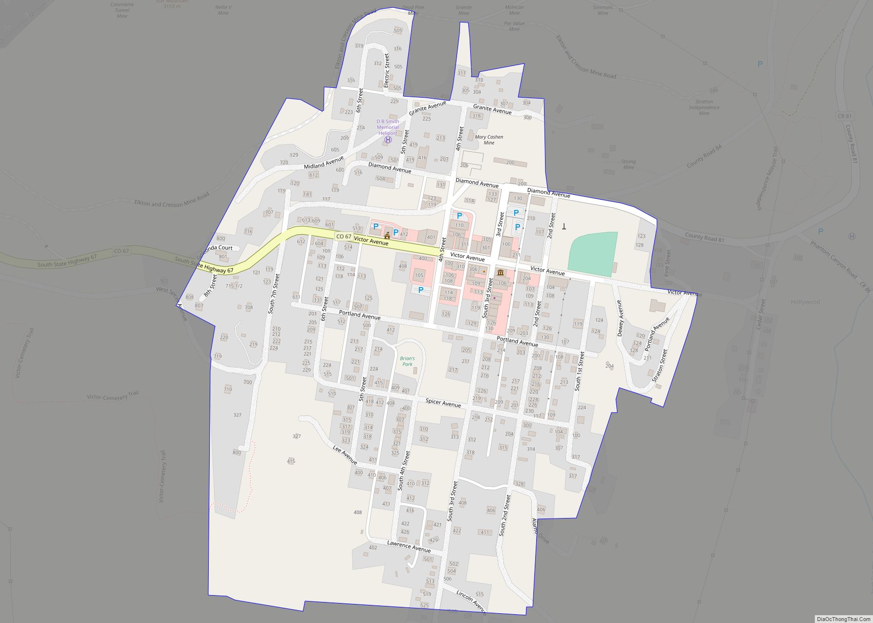
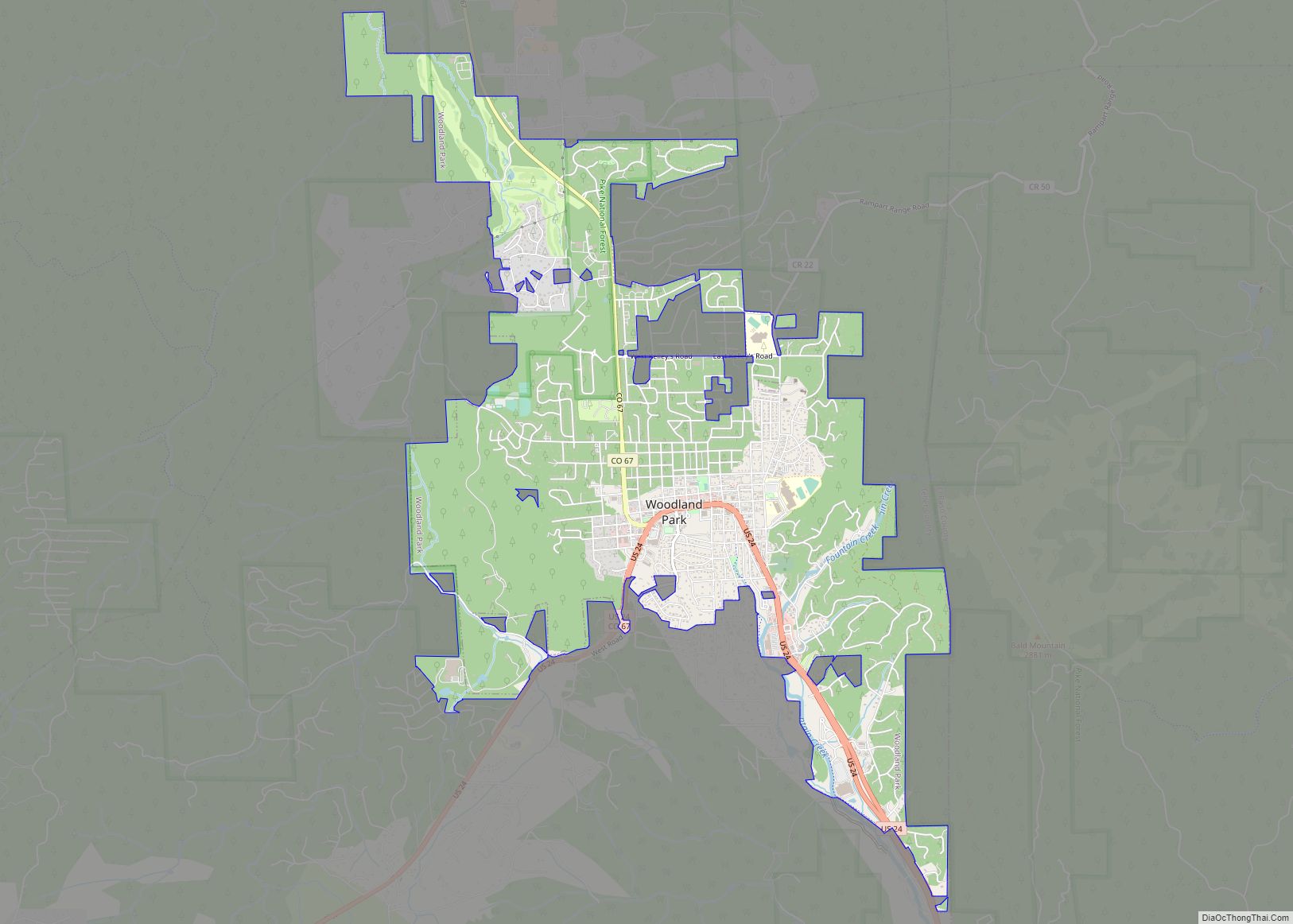
Victor Road Map
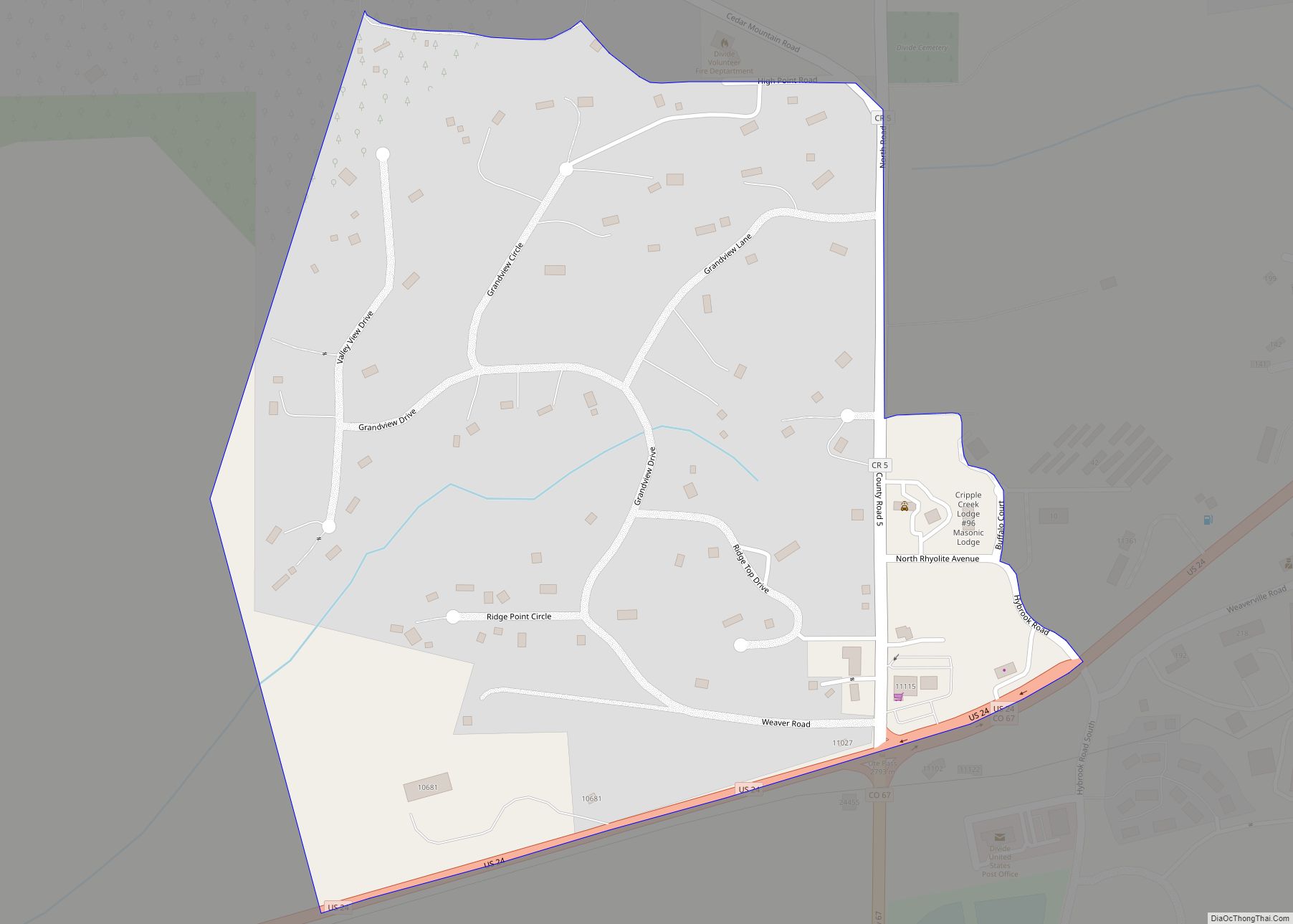
Victor city Satellite Map
Geography
Victor is located at 38°42′35″N 105°8′27″W / 38.70972°N 105.14083°W / 38.70972; -105.14083 (38.709609, -105.140859). According to the United States Census Bureau for 2010, the city has a total area of 0.27 square miles (0.70 km), all of it land.
See also
Map of Colorado State and its subdivision:- Adams
- Alamosa
- Arapahoe
- Archuleta
- Baca
- Bent
- Boulder
- Broomfield
- Chaffee
- Cheyenne
- Clear Creek
- Conejos
- Costilla
- Crowley
- Custer
- Delta
- Denver
- Dolores
- Douglas
- Eagle
- El Paso
- Elbert
- Fremont
- Garfield
- Gilpin
- Grand
- Gunnison
- Hinsdale
- Huerfano
- Jackson
- Jefferson
- Kiowa
- Kit Carson
- La Plata
- Lake
- Larimer
- Las Animas
- Lincoln
- Logan
- Mesa
- Mineral
- Moffat
- Montezuma
- Montrose
- Morgan
- Otero
- Ouray
- Park
- Phillips
- Pitkin
- Prowers
- Pueblo
- Rio Blanco
- Rio Grande
- Routt
- Saguache
- San Juan
- San Miguel
- Sedgwick
- Summit
- Teller
- Washington
- Weld
- Yuma
- Alabama
- Alaska
- Arizona
- Arkansas
- California
- Colorado
- Connecticut
- Delaware
- District of Columbia
- Florida
- Georgia
- Hawaii
- Idaho
- Illinois
- Indiana
- Iowa
- Kansas
- Kentucky
- Louisiana
- Maine
- Maryland
- Massachusetts
- Michigan
- Minnesota
- Mississippi
- Missouri
- Montana
- Nebraska
- Nevada
- New Hampshire
- New Jersey
- New Mexico
- New York
- North Carolina
- North Dakota
- Ohio
- Oklahoma
- Oregon
- Pennsylvania
- Rhode Island
- South Carolina
- South Dakota
- Tennessee
- Texas
- Utah
- Vermont
- Virginia
- Washington
- West Virginia
- Wisconsin
- Wyoming
