Westcliffe is a statutory town that is the county seat of Custer County, Colorado, United States. At the 2020 U.S. Census, the population was 435.
| Name: | Westcliffe town |
|---|---|
| LSAD Code: | 43 |
| LSAD Description: | town (suffix) |
| State: | Colorado |
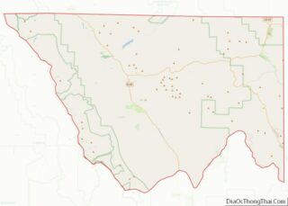
| County: | Custer County |
| Incorporated: | November 21, 1887 |
| Elevation: | 7,867 ft (2,398 m) |
| Total Area: | 1.24 sq mi (3.20 km²) |
| Land Area: | 1.24 sq mi (3.20 km²) |
| Water Area: | 0.00 sq mi (0.00 km²) |
| Total Population: | 435 |
| Population Density: | 350/sq mi (140/km²) |
| ZIP code: | 81252 |
| Area code: | 719 |
| FIPS code: | 0883450 |
| GNISfeature ID: | 0192151 |
| Website: | townofwestcliffe.com |
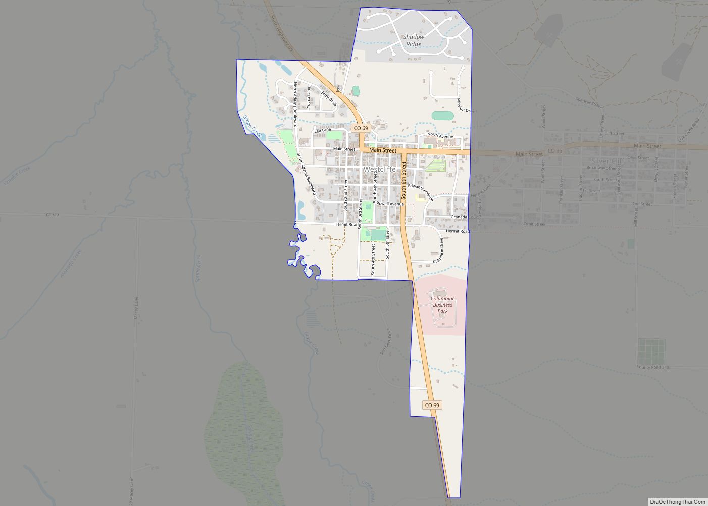
Online Interactive Map
Click on ![]() to view map in "full screen" mode.
to view map in "full screen" mode.
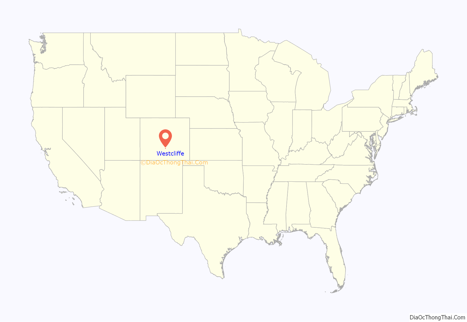
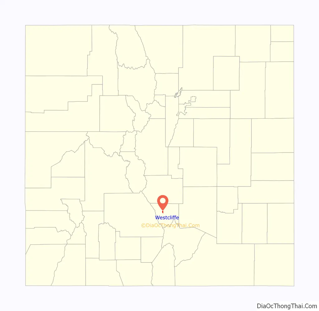
Westcliffe location map. Where is Westcliffe town?
History
Westcliffe had its start in 1881 when the Denver and Rio Grande Western Railroad was extended to that point.
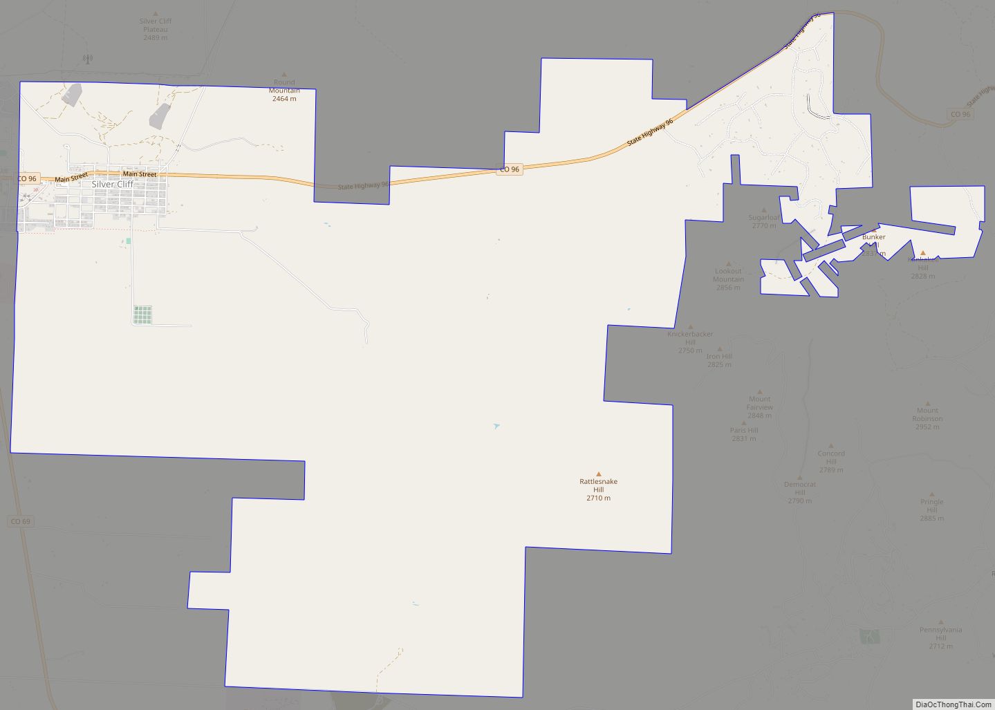
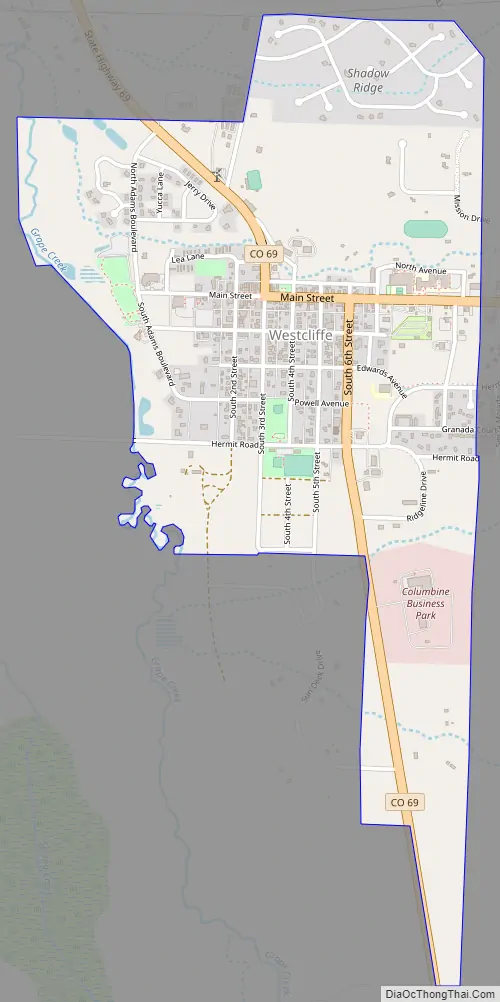
Westcliffe Road Map
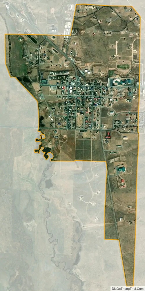
Westcliffe city Satellite Map
Geography
Westcliffe is located west of the geographic center of Custer County at 38°7′58″N 105°27′57″W / 38.13278°N 105.46583°W / 38.13278; -105.46583 (38.132874, -105.465920). It lies in the Wet Mountain Valley, between the Wet Mountains to the east and the Sangre de Cristo Range to the west. The town of Silver Cliff is immediately to the east of Westcliffe.
According to the United States Census Bureau, the town has a total area of 1.2 square miles (3.2 km), all of it land.
Climate
Dark skies
Westcliffe, and neighboring Silver Cliff, Colorado, are recognized as IDA International Dark Sky Communities by The International Dark-Sky Association. Gentle persuasion has resulted in residents and business in the towns and surrounding ranch land reducing the amount of light pollution.
Locals have set up a free observatory in an old period building with a “roll-off” roof to open up the 14-inch Schmidt-Cassegrain telescope with computer-guided pointing and tracking to the skies overhead. Named the Smokey Jack Observatory, it was built in 2015.
See also
Map of Colorado State and its subdivision:- Adams
- Alamosa
- Arapahoe
- Archuleta
- Baca
- Bent
- Boulder
- Broomfield
- Chaffee
- Cheyenne
- Clear Creek
- Conejos
- Costilla
- Crowley
- Custer
- Delta
- Denver
- Dolores
- Douglas
- Eagle
- El Paso
- Elbert
- Fremont
- Garfield
- Gilpin
- Grand
- Gunnison
- Hinsdale
- Huerfano
- Jackson
- Jefferson
- Kiowa
- Kit Carson
- La Plata
- Lake
- Larimer
- Las Animas
- Lincoln
- Logan
- Mesa
- Mineral
- Moffat
- Montezuma
- Montrose
- Morgan
- Otero
- Ouray
- Park
- Phillips
- Pitkin
- Prowers
- Pueblo
- Rio Blanco
- Rio Grande
- Routt
- Saguache
- San Juan
- San Miguel
- Sedgwick
- Summit
- Teller
- Washington
- Weld
- Yuma
- Alabama
- Alaska
- Arizona
- Arkansas
- California
- Colorado
- Connecticut
- Delaware
- District of Columbia
- Florida
- Georgia
- Hawaii
- Idaho
- Illinois
- Indiana
- Iowa
- Kansas
- Kentucky
- Louisiana
- Maine
- Maryland
- Massachusetts
- Michigan
- Minnesota
- Mississippi
- Missouri
- Montana
- Nebraska
- Nevada
- New Hampshire
- New Jersey
- New Mexico
- New York
- North Carolina
- North Dakota
- Ohio
- Oklahoma
- Oregon
- Pennsylvania
- Rhode Island
- South Carolina
- South Dakota
- Tennessee
- Texas
- Utah
- Vermont
- Virginia
- Washington
- West Virginia
- Wisconsin
- Wyoming