The Town of Silver Cliff is the Statutory Town that is the most populous municipality in Custer County, Colorado, United States. The population was 609 at the 2020 census, up from 587 in 2010.
| Name: | Silver Cliff town |
|---|---|
| LSAD Code: | 43 |
| LSAD Description: | town (suffix) |
| State: | Colorado |
| County: | Custer County |
| Incorporated: | February 10, 1879 |
| Elevation: | 7,986 ft (2,434 m) |
| Total Area: | 15.46 sq mi (40.04 km²) |
| Land Area: | 15.46 sq mi (40.03 km²) |
| Water Area: | 0.00 sq mi (0.00 km²) |
| Total Population: | 609 |
| Population Density: | 43.15/sq mi (16.66/km²) |
| ZIP code: | 81252 |
| Area code: | 719 |
| FIPS code: | 0870250 |
| GNISfeature ID: | 0192157 |
| Website: | silvercliffco.com |
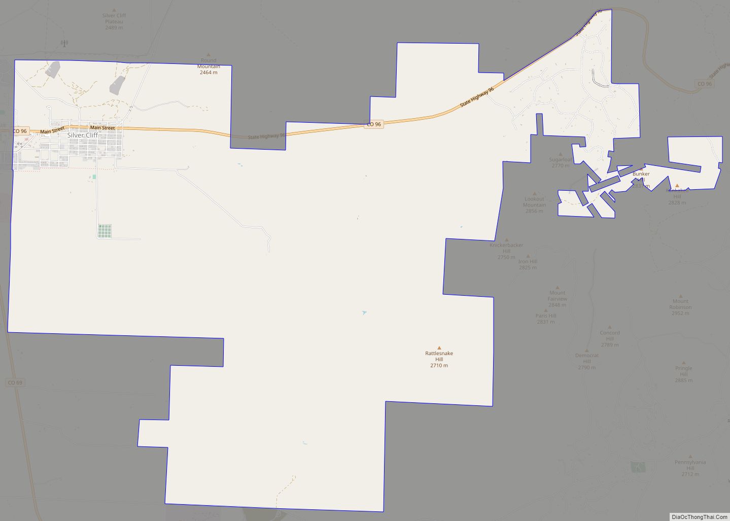
Online Interactive Map
Click on ![]() to view map in "full screen" mode.
to view map in "full screen" mode.
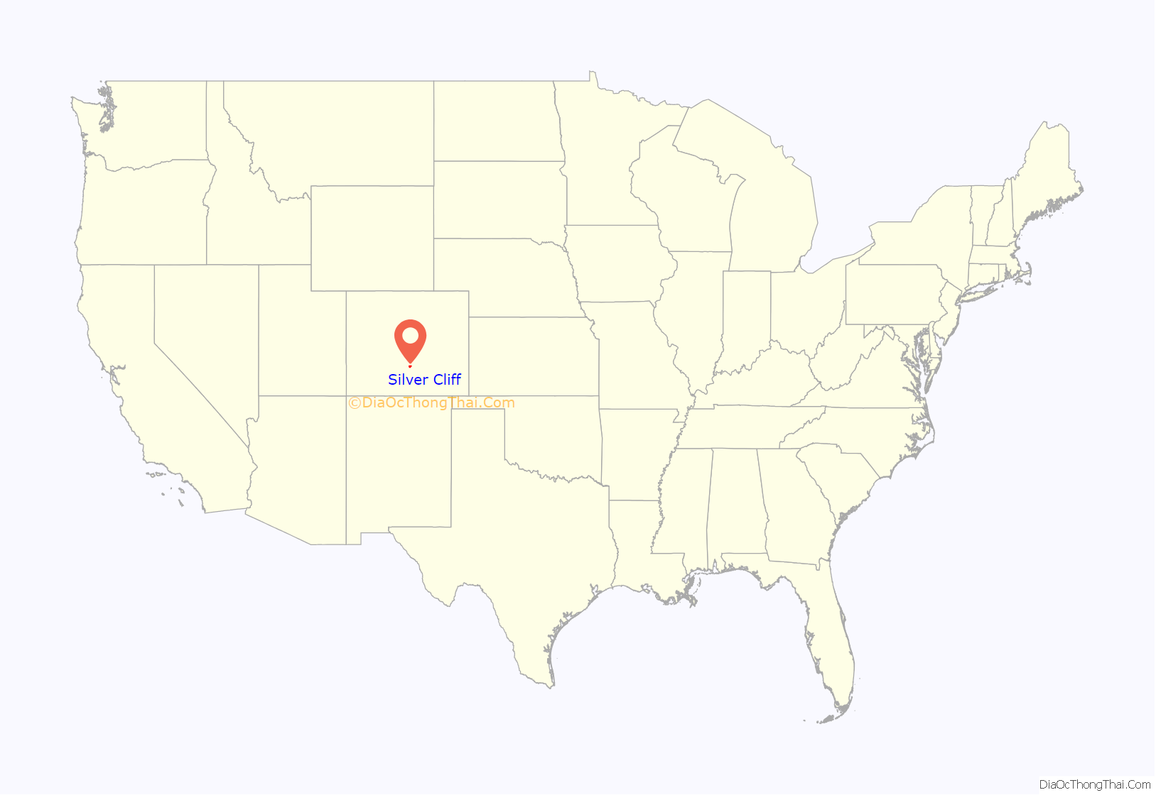
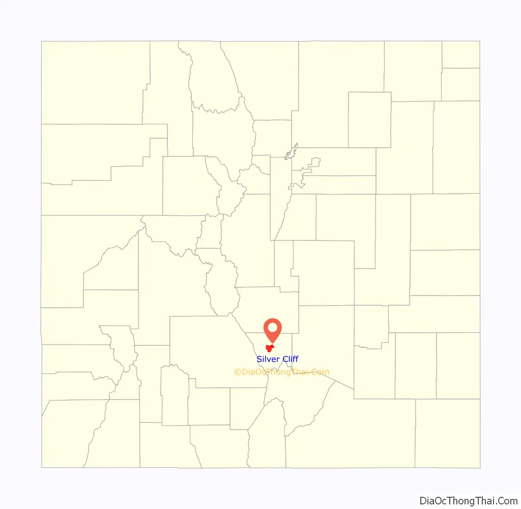
Silver Cliff location map. Where is Silver Cliff town?
History
Silver Cliff was formed in the late 1870s to house the miners of its namesake, the Silver Cliff mine, and other silver mines in the neighborhood, such as the Bull-Domingo. The town, incorporated in 1879, had 5,040 residents by the 1880 census, making it the third most populous town in Colorado, after Denver and Leadville.
Silver Cliff was the county seat from 1886 (when the town won the seat from Rosita) to 1928 (when the seat moved to nearby Westcliffe).
The Silver Cliff mine, also known as the Geyser mine, is on the hill immediately north of the town. Although a large operation that employed many residents of Silver Cliff, the mine was the unfortunate object of eastern stock manipulators. Shares in the Silver Cliff mine were promoted in 1879 by James R. Keene, a famous New York stock operator. The company went bankrupt within a few years, and was sold to the Julianna Mining Company, which was run by an even more unscrupulous stock promoter, Dr. Richard C. Flower of Boston. The Julianna company went bankrupt in 1888. The shareholders rescued the company and renamed it the Geyser Mining Company. Although Flower withdrew from the management, the Geyser Mining Company continued to be run by some of Flower’s cronies, so it should not be a surprise that the mine never made a profit. At one time the Geyser mine was the deepest mine in Colorado.
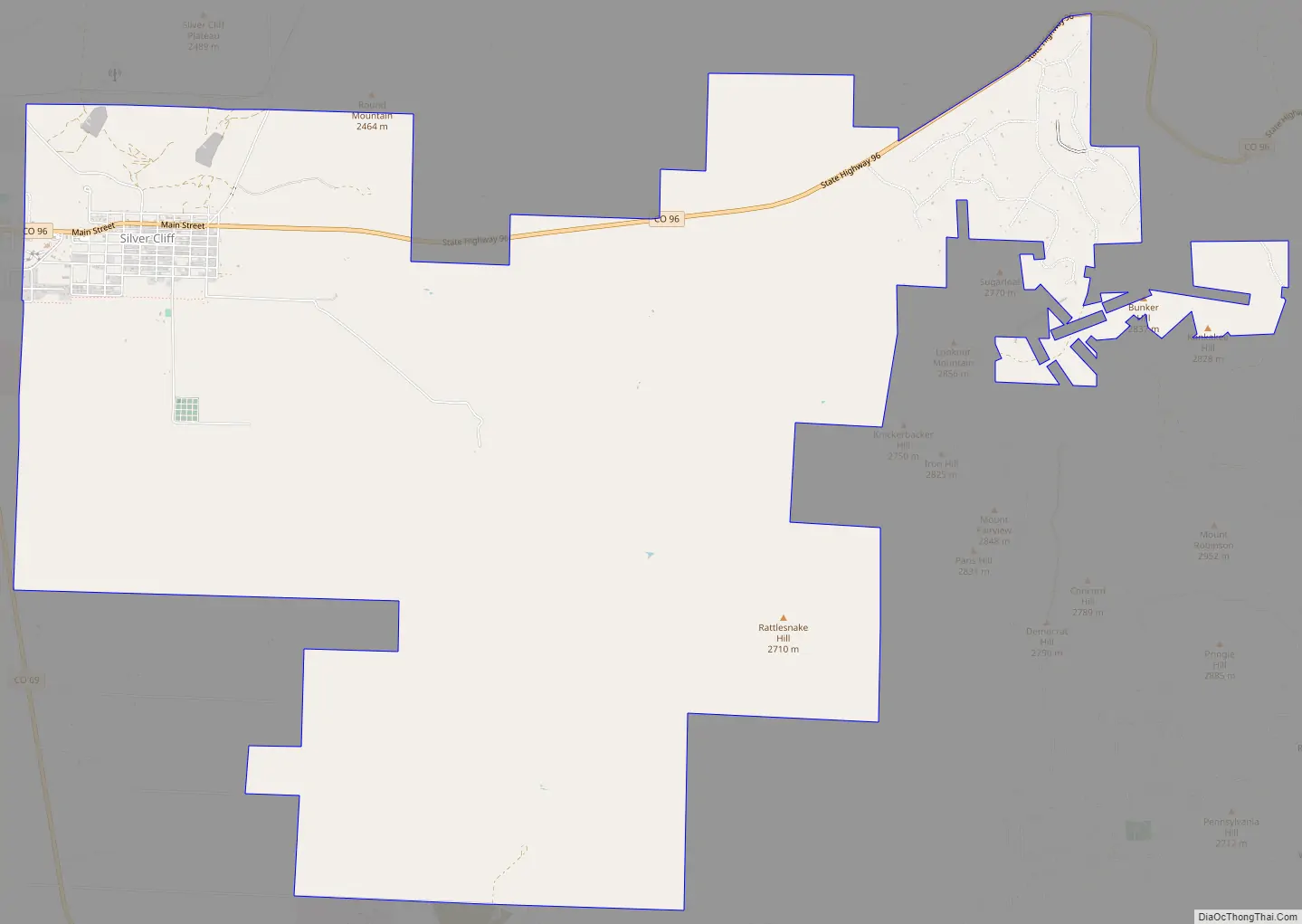
Silver Cliff Road Map
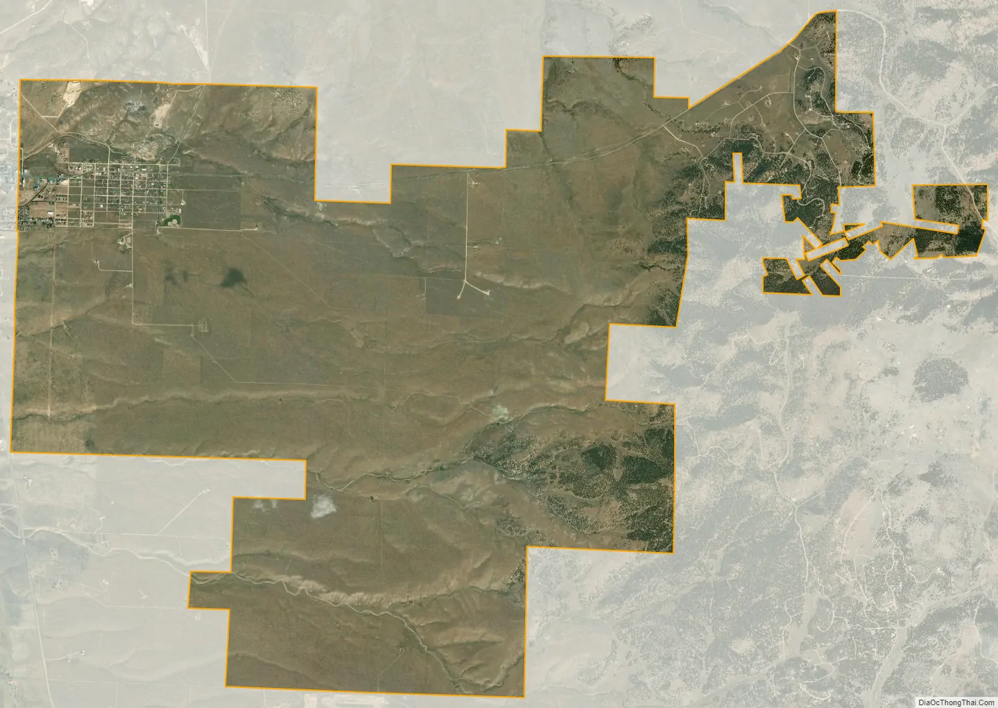
Silver Cliff city Satellite Map
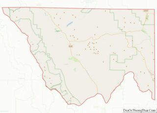
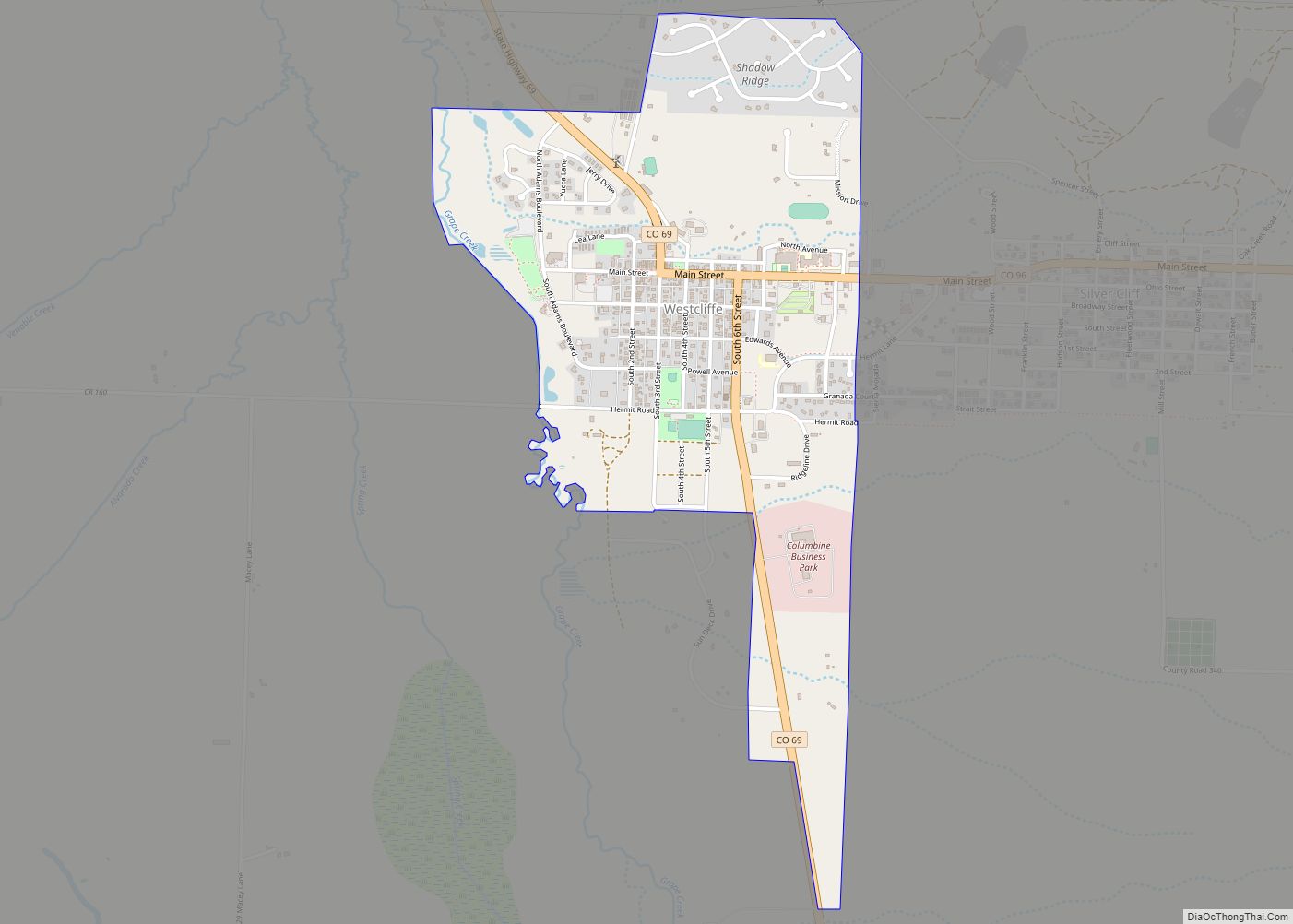
Geography
Silver Cliff is located near the geographic center of Custer County at 38°8′11″N 105°26′22″W / 38.13639°N 105.43944°W / 38.13639; -105.43944 (38.136432, -105.439492). The town of Westcliffe is immediately adjacent to its west. The town is 54 miles (87 km) west of Pueblo, via Colorado State Highway 96.
According to the United States Census Bureau, Silver Cliff has a total area of 15.5 square miles (40.1 km), all of it land.
See also
Map of Colorado State and its subdivision:- Adams
- Alamosa
- Arapahoe
- Archuleta
- Baca
- Bent
- Boulder
- Broomfield
- Chaffee
- Cheyenne
- Clear Creek
- Conejos
- Costilla
- Crowley
- Custer
- Delta
- Denver
- Dolores
- Douglas
- Eagle
- El Paso
- Elbert
- Fremont
- Garfield
- Gilpin
- Grand
- Gunnison
- Hinsdale
- Huerfano
- Jackson
- Jefferson
- Kiowa
- Kit Carson
- La Plata
- Lake
- Larimer
- Las Animas
- Lincoln
- Logan
- Mesa
- Mineral
- Moffat
- Montezuma
- Montrose
- Morgan
- Otero
- Ouray
- Park
- Phillips
- Pitkin
- Prowers
- Pueblo
- Rio Blanco
- Rio Grande
- Routt
- Saguache
- San Juan
- San Miguel
- Sedgwick
- Summit
- Teller
- Washington
- Weld
- Yuma
- Alabama
- Alaska
- Arizona
- Arkansas
- California
- Colorado
- Connecticut
- Delaware
- District of Columbia
- Florida
- Georgia
- Hawaii
- Idaho
- Illinois
- Indiana
- Iowa
- Kansas
- Kentucky
- Louisiana
- Maine
- Maryland
- Massachusetts
- Michigan
- Minnesota
- Mississippi
- Missouri
- Montana
- Nebraska
- Nevada
- New Hampshire
- New Jersey
- New Mexico
- New York
- North Carolina
- North Dakota
- Ohio
- Oklahoma
- Oregon
- Pennsylvania
- Rhode Island
- South Carolina
- South Dakota
- Tennessee
- Texas
- Utah
- Vermont
- Virginia
- Washington
- West Virginia
- Wisconsin
- Wyoming