Wolcott is an unincorporated town, a post office, and a census-designated place (CDP) located in and governed by Eagle County, Colorado, United States. The CDP is a part of the Edwards, CO Micropolitan Statistical Area. The Wolcott post office has the ZIP Code 81655 (post office boxes). At the United States Census 2020, the population of the Wolcott CDP was 20.
| Name: | Wolcott CDP |
|---|---|
| LSAD Code: | 57 |
| LSAD Description: | CDP (suffix) |
| State: | Colorado |
| County: | Eagle County |
| Total Area: | 0.385 sq mi (0.996 km²) |
| Land Area: | 0.369 sq mi (0.956 km²) |
| Water Area: | 0.015 sq mi (0.040 km²) |
| Total Population: | 20 |
| Population Density: | 52/sq mi (20/km²) |
| ZIP code: | 81655 |
| Area code: | 970 |
| FIPS code: | 0885760 |
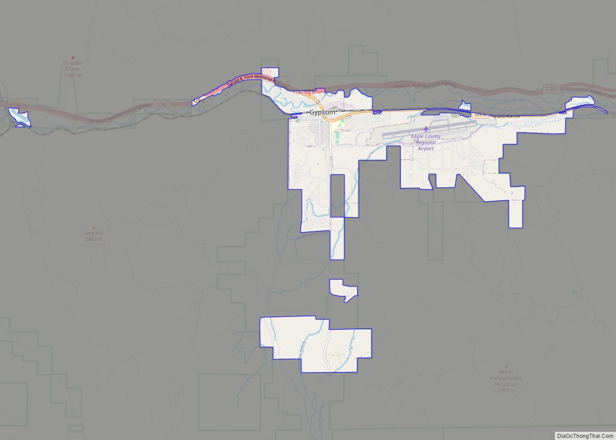
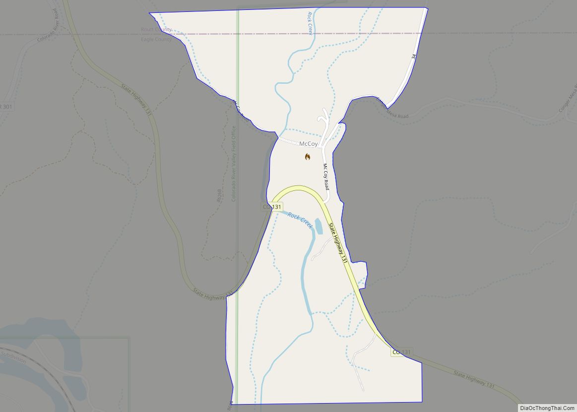
Online Interactive Map
Click on ![]() to view map in "full screen" mode.
to view map in "full screen" mode.
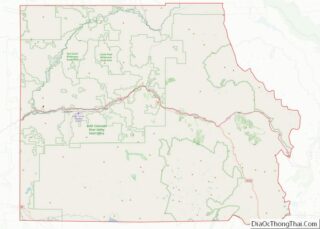
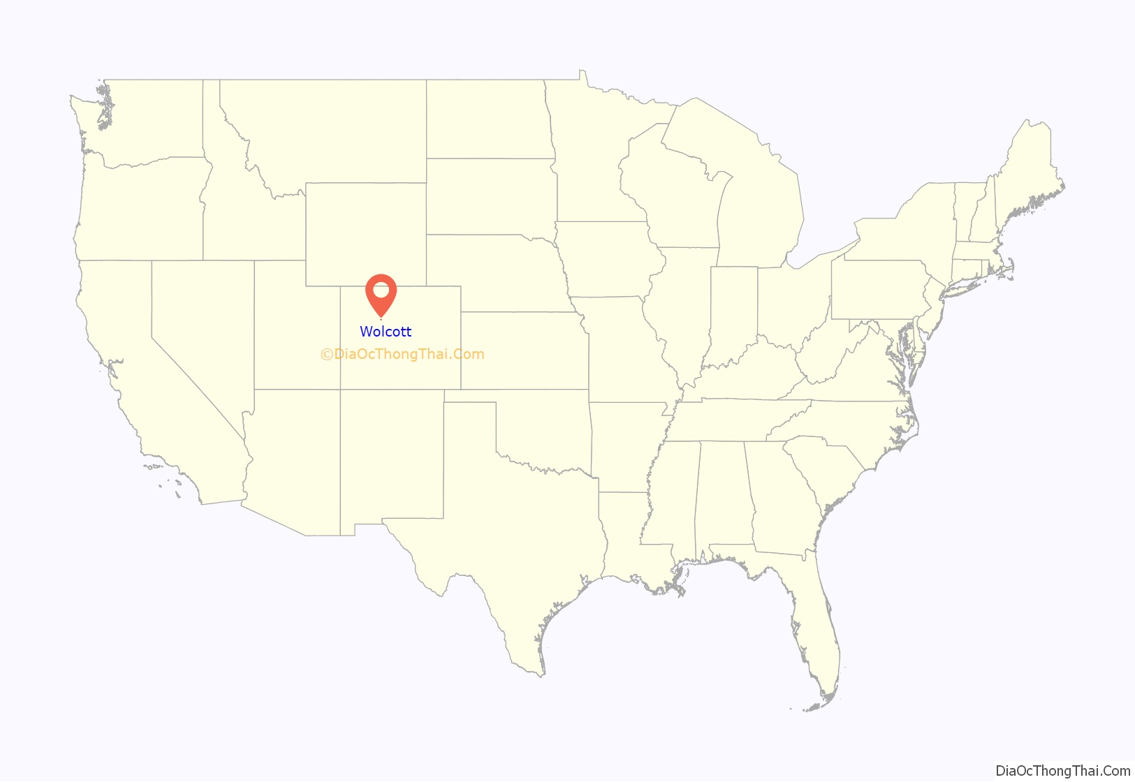
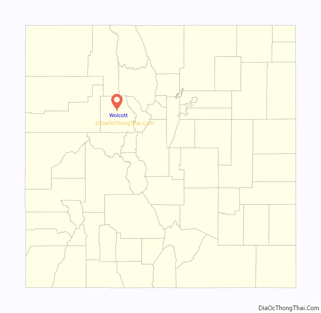
Wolcott location map. Where is Wolcott CDP?
History
The Wolcott Post Office has been in operation since 1889. The community was named after Edward O. Wolcott, a United States Senator from Colorado.
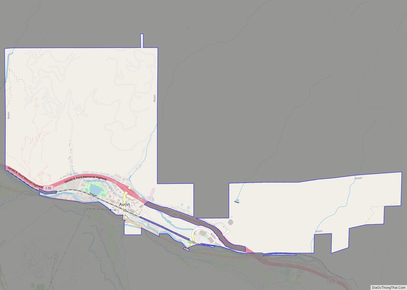
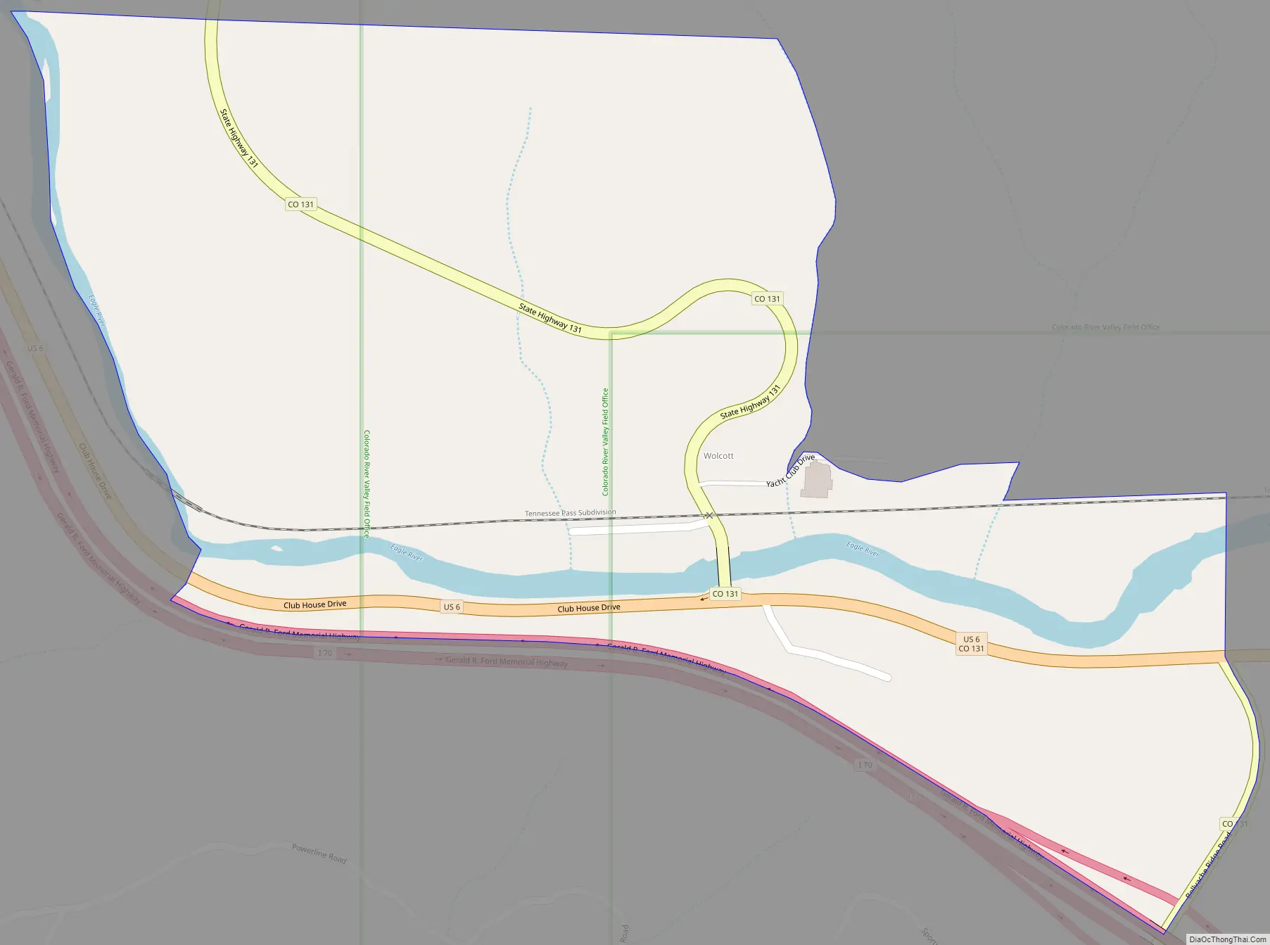
Wolcott Road Map
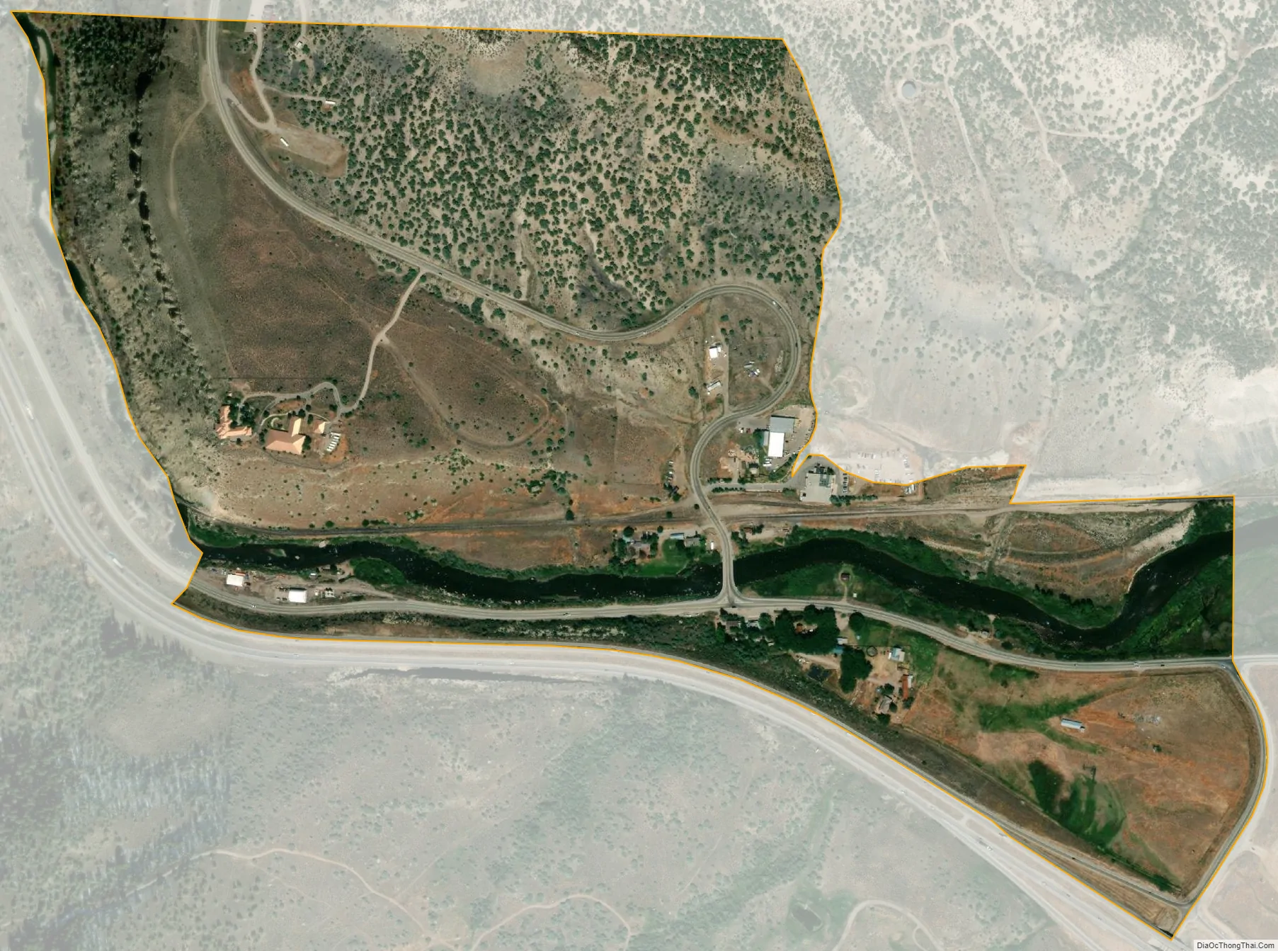
Wolcott city Satellite Map
Geography
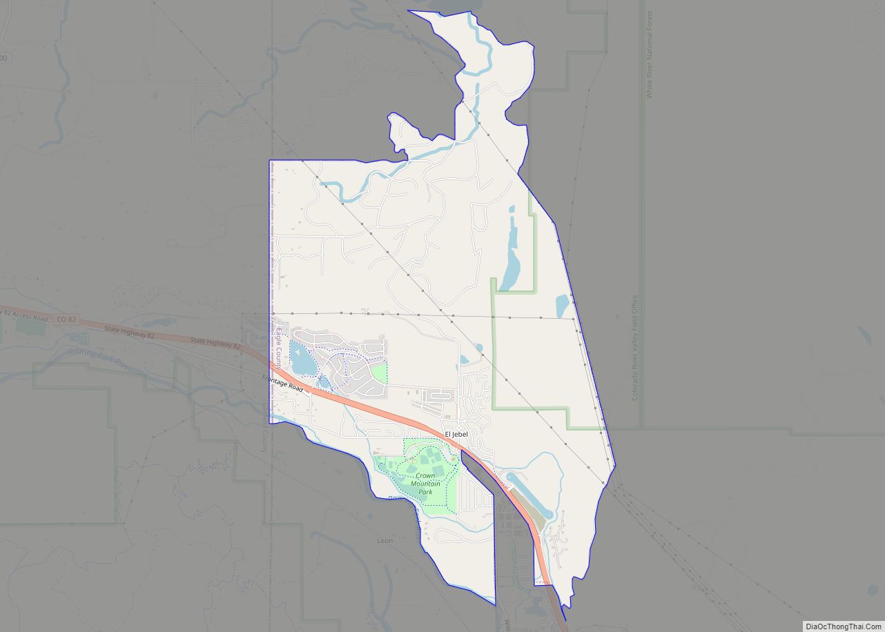
Wolcott is located in central Eagle County in the valley of the Eagle River, a west-flowing tributary of the Colorado River. U.S. Route 6 passes through the community, following the river, while Interstate 70 forms the southern edge of the CDP, with access from Exit 157. I-70 and US-6 each lead 7 miles (11 km) east to Edwards and west 10 miles (16 km) to Eagle, the county seat. Colorado State Highway 131 intersects I-70 at Exit 157, passes through the center of Wolcott, and leads north 72 miles (116 km) to Steamboat Springs.
The Wolcott CDP has an area of 246 acres (0.996 km), including 9.9 acres (0.040 km) of water.
See also
Map of Colorado State and its subdivision:- Adams
- Alamosa
- Arapahoe
- Archuleta
- Baca
- Bent
- Boulder
- Broomfield
- Chaffee
- Cheyenne
- Clear Creek
- Conejos
- Costilla
- Crowley
- Custer
- Delta
- Denver
- Dolores
- Douglas
- Eagle
- El Paso
- Elbert
- Fremont
- Garfield
- Gilpin
- Grand
- Gunnison
- Hinsdale
- Huerfano
- Jackson
- Jefferson
- Kiowa
- Kit Carson
- La Plata
- Lake
- Larimer
- Las Animas
- Lincoln
- Logan
- Mesa
- Mineral
- Moffat
- Montezuma
- Montrose
- Morgan
- Otero
- Ouray
- Park
- Phillips
- Pitkin
- Prowers
- Pueblo
- Rio Blanco
- Rio Grande
- Routt
- Saguache
- San Juan
- San Miguel
- Sedgwick
- Summit
- Teller
- Washington
- Weld
- Yuma
- Alabama
- Alaska
- Arizona
- Arkansas
- California
- Colorado
- Connecticut
- Delaware
- District of Columbia
- Florida
- Georgia
- Hawaii
- Idaho
- Illinois
- Indiana
- Iowa
- Kansas
- Kentucky
- Louisiana
- Maine
- Maryland
- Massachusetts
- Michigan
- Minnesota
- Mississippi
- Missouri
- Montana
- Nebraska
- Nevada
- New Hampshire
- New Jersey
- New Mexico
- New York
- North Carolina
- North Dakota
- Ohio
- Oklahoma
- Oregon
- Pennsylvania
- Rhode Island
- South Carolina
- South Dakota
- Tennessee
- Texas
- Utah
- Vermont
- Virginia
- Washington
- West Virginia
- Wisconsin
- Wyoming