Yampa is a statutory town in Routt County, Colorado, United States. The population was 399 at the 2020 census.
| Name: | Yampa town |
|---|---|
| LSAD Code: | 43 |
| LSAD Description: | town (suffix) |
| State: | Colorado |
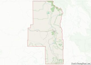
| County: | Routt County |
| Incorporated: | February 25, 1907 |
| Elevation: | 7,881 ft (2,402 m) |
| Total Area: | 0.24 sq mi (0.62 km²) |
| Land Area: | 0.24 sq mi (0.62 km²) |
| Water Area: | 0.00 sq mi (0.00 km²) |
| Total Population: | 399 |
| Population Density: | 1,700/sq mi (640/km²) |
| ZIP code: | 80483 (PO Box) |
| Area code: | 970 |
| FIPS code: | 0886475 |
| GNISfeature ID: | 0173064 |
| Website: | www.townofyampa.com |
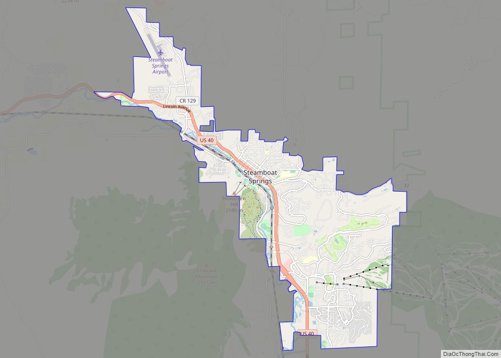
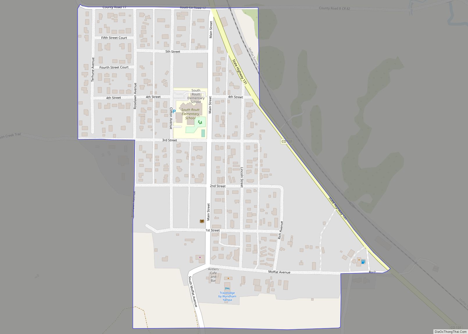
Online Interactive Map
Click on ![]() to view map in "full screen" mode.
to view map in "full screen" mode.
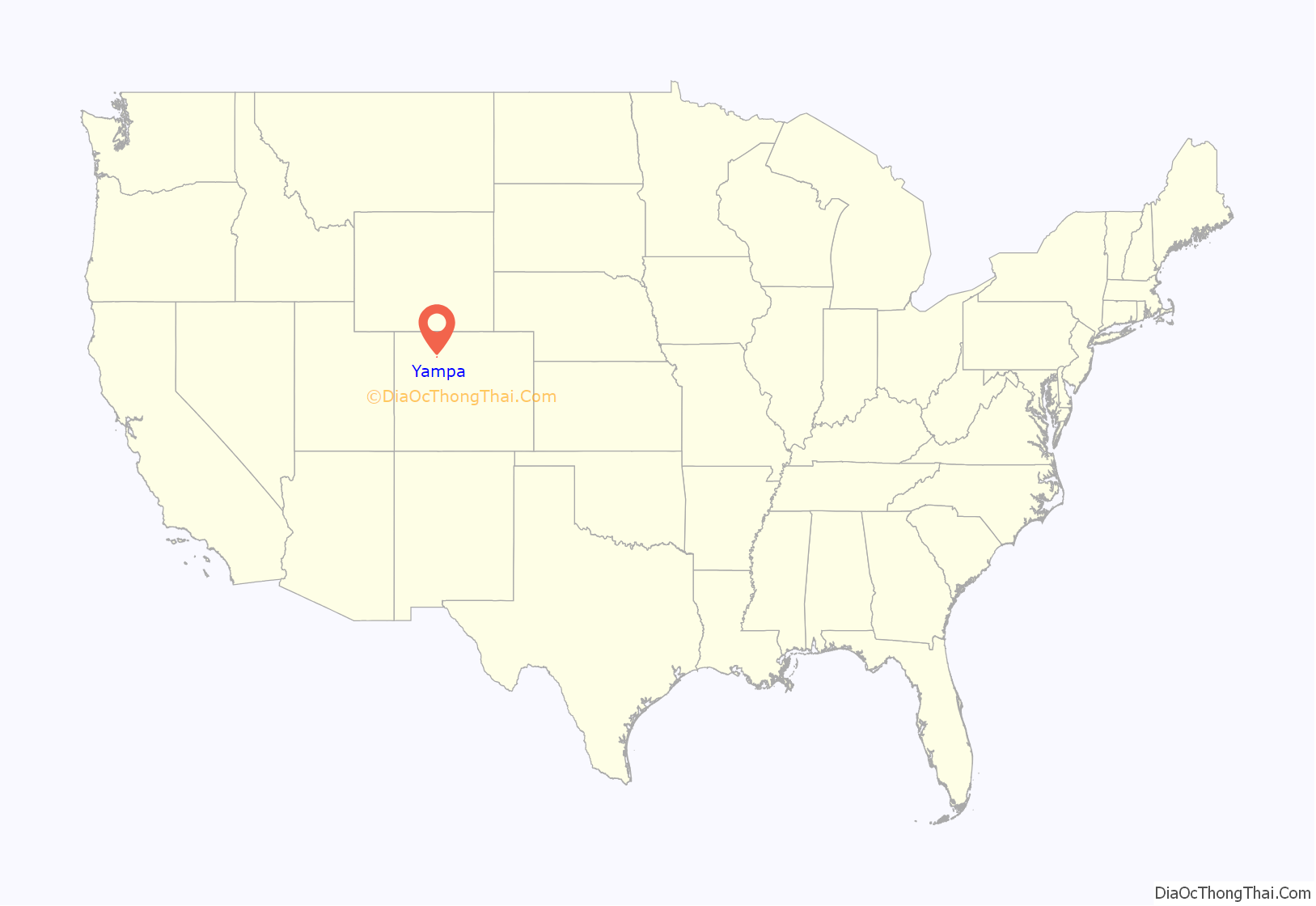
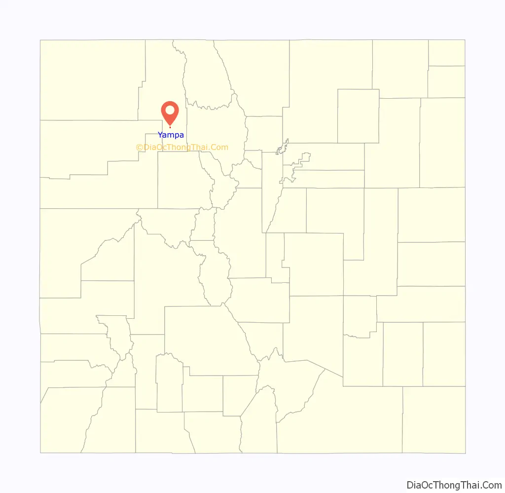
Yampa location map. Where is Yampa town?
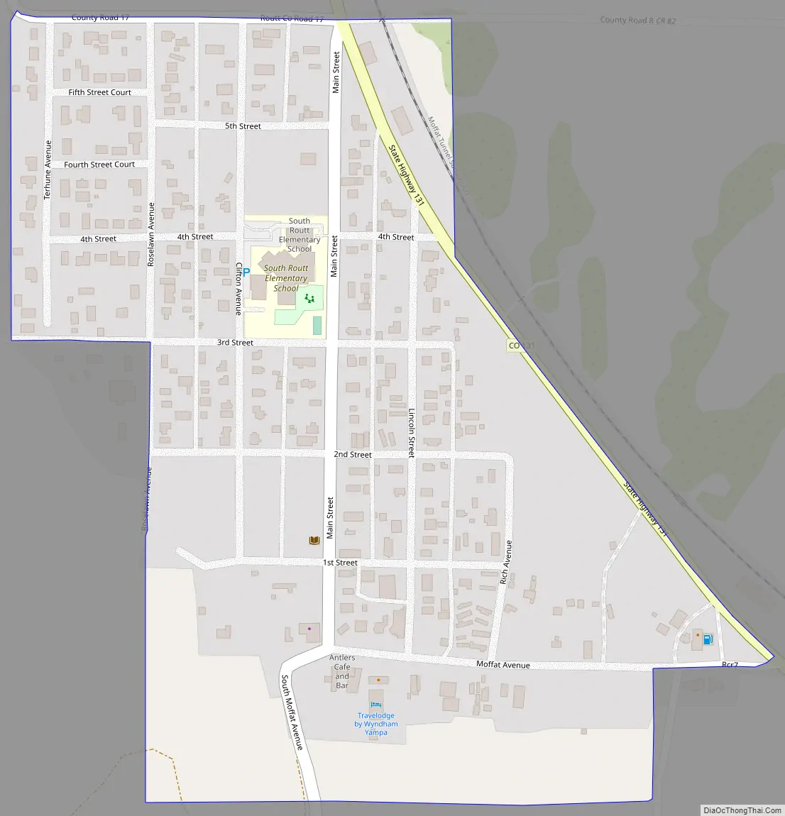
Yampa Road Map
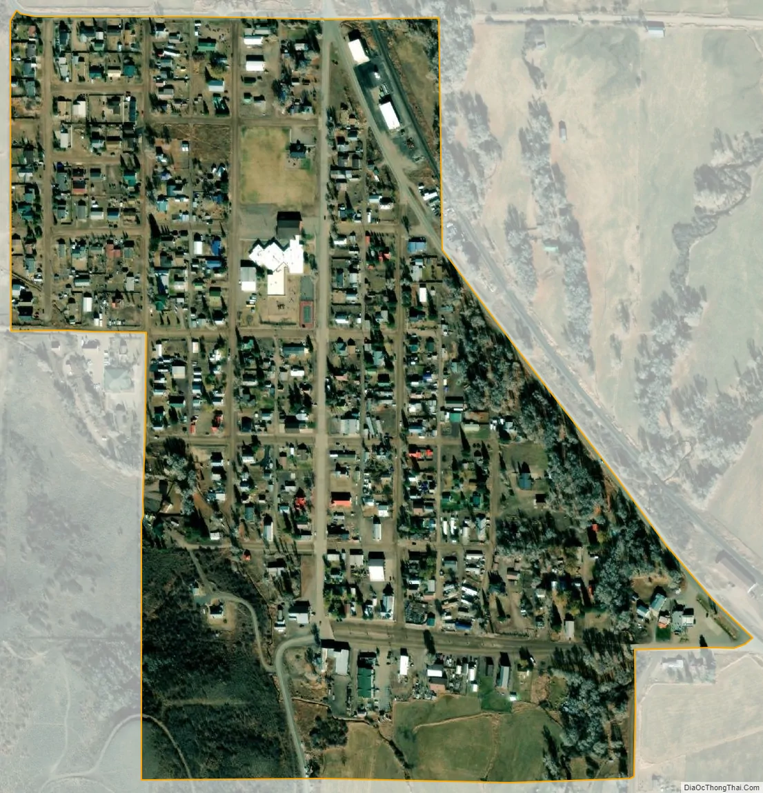
Yampa city Satellite Map
Geography
Yampa is at 40°9′12″N 106°54′30″W / 40.15333°N 106.90833°W / 40.15333; -106.90833 (40.153250, -106.908437).
According to the United States Census Bureau, the town has a total area of 0.2 square miles (0.52 km), all of it land.
Climate
Yampa has a humid continental climate (Köppen climate classification Dfb), with warm summers and long, cold, snowy winters. Due to altitude and dryness, the diurnal temperature variation is large throughout the year, especially in summer, and the growing season is short, typically averaging just 80 days.
See also
Map of Colorado State and its subdivision:- Adams
- Alamosa
- Arapahoe
- Archuleta
- Baca
- Bent
- Boulder
- Broomfield
- Chaffee
- Cheyenne
- Clear Creek
- Conejos
- Costilla
- Crowley
- Custer
- Delta
- Denver
- Dolores
- Douglas
- Eagle
- El Paso
- Elbert
- Fremont
- Garfield
- Gilpin
- Grand
- Gunnison
- Hinsdale
- Huerfano
- Jackson
- Jefferson
- Kiowa
- Kit Carson
- La Plata
- Lake
- Larimer
- Las Animas
- Lincoln
- Logan
- Mesa
- Mineral
- Moffat
- Montezuma
- Montrose
- Morgan
- Otero
- Ouray
- Park
- Phillips
- Pitkin
- Prowers
- Pueblo
- Rio Blanco
- Rio Grande
- Routt
- Saguache
- San Juan
- San Miguel
- Sedgwick
- Summit
- Teller
- Washington
- Weld
- Yuma
- Alabama
- Alaska
- Arizona
- Arkansas
- California
- Colorado
- Connecticut
- Delaware
- District of Columbia
- Florida
- Georgia
- Hawaii
- Idaho
- Illinois
- Indiana
- Iowa
- Kansas
- Kentucky
- Louisiana
- Maine
- Maryland
- Massachusetts
- Michigan
- Minnesota
- Mississippi
- Missouri
- Montana
- Nebraska
- Nevada
- New Hampshire
- New Jersey
- New Mexico
- New York
- North Carolina
- North Dakota
- Ohio
- Oklahoma
- Oregon
- Pennsylvania
- Rhode Island
- South Carolina
- South Dakota
- Tennessee
- Texas
- Utah
- Vermont
- Virginia
- Washington
- West Virginia
- Wisconsin
- Wyoming