Goulds is an unincorporated community and census-designated place (CDP) in Miami-Dade County, Florida, United States. The area was originally populated as the result of a stop on the Florida East Coast Railroad. The railroad depot was located near the current Southwest 224th Street. The community was named after its operator, Lyman Gould, who cut trees for railroad ties. As of the 2020 census, the population stood at 11,446, up from 10,103 in 2010.
| Name: | Goulds CDP |
|---|---|
| LSAD Code: | 57 |
| LSAD Description: | CDP (suffix) |
| State: | Florida |
| County: | Miami-Dade County |
| Elevation: | 10 ft (3 m) |
| Total Area: | 2.93 sq mi (7.58 km²) |
| Land Area: | 2.91 sq mi (7.53 km²) |
| Water Area: | 0.02 sq mi (0.05 km²) |
| Total Population: | 11,446 |
| Population Density: | 3,934.69/sq mi (1,519.21/km²) |
| ZIP code: | 33170 |
| Area code: | 305 |
| FIPS code: | 1226950 |
| GNISfeature ID: | 0283239 |
Online Interactive Map
Click on ![]() to view map in "full screen" mode.
to view map in "full screen" mode.
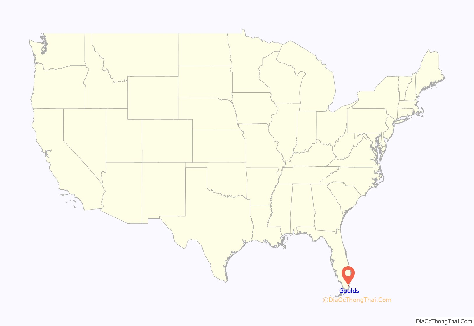
Goulds location map. Where is Goulds CDP?

History
The area that became Goulds was settled in 1900 by homesteaders. It received its name when the Florida East Coast Railway built a siding in 1903, operated by an employee of the railroad named Lyman Goulds. It was first known as “Gould’s Siding”, and later shortened to Goulds. Many packing houses were built along the Old Dixie Highway. Early on, Goulds had a reputation as a rough town, with several saloons serving itinerant field workers. Most of the packing houses were destroyed by a tornado in 1919, or the 1926 Miami Hurricane, but were rebuilt. Cauley Square, a former railway town located in Goulds, was restored by Mary Ann Ballard after she purchased the village in 1949.
Goulds Road Map

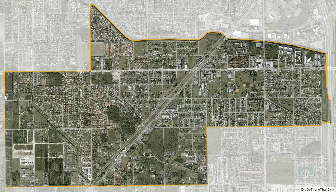
Goulds city Satellite Map
Geography
Goulds is located 20 miles (32 km) southwest of downtown Miami and 9 miles (14 km) northeast of Homestead at 25°33′39″N 80°23′0″W / 25.56083°N 80.38333°W / 25.56083; -80.38333 (25.560885, -80.383353). It is bordered to the north by South Miami Heights, to the northeast by Cutler Bay, and to the south by Princeton. According to the United States Census Bureau, the CDP has a total area of 2.9 square miles (7.5 km), of which 0.02 square miles (0.05 km), or 0.61%, are water.
U.S. Route 1 (Dixie Highway) is the main road through the community.
See also
Map of Florida State and its subdivision:- Alachua
- Baker
- Bay
- Bradford
- Brevard
- Broward
- Calhoun
- Charlotte
- Citrus
- Clay
- Collier
- Columbia
- Desoto
- Dixie
- Duval
- Escambia
- Flagler
- Franklin
- Gadsden
- Gilchrist
- Glades
- Gulf
- Hamilton
- Hardee
- Hendry
- Hernando
- Highlands
- Hillsborough
- Holmes
- Indian River
- Jackson
- Jefferson
- Lafayette
- Lake
- Lee
- Leon
- Levy
- Liberty
- Madison
- Manatee
- Marion
- Martin
- Miami-Dade
- Monroe
- Nassau
- Okaloosa
- Okeechobee
- Orange
- Osceola
- Palm Beach
- Pasco
- Pinellas
- Polk
- Putnam
- Saint Johns
- Saint Lucie
- Santa Rosa
- Sarasota
- Seminole
- Sumter
- Suwannee
- Taylor
- Union
- Volusia
- Wakulla
- Walton
- Washington
- Alabama
- Alaska
- Arizona
- Arkansas
- California
- Colorado
- Connecticut
- Delaware
- District of Columbia
- Florida
- Georgia
- Hawaii
- Idaho
- Illinois
- Indiana
- Iowa
- Kansas
- Kentucky
- Louisiana
- Maine
- Maryland
- Massachusetts
- Michigan
- Minnesota
- Mississippi
- Missouri
- Montana
- Nebraska
- Nevada
- New Hampshire
- New Jersey
- New Mexico
- New York
- North Carolina
- North Dakota
- Ohio
- Oklahoma
- Oregon
- Pennsylvania
- Rhode Island
- South Carolina
- South Dakota
- Tennessee
- Texas
- Utah
- Vermont
- Virginia
- Washington
- West Virginia
- Wisconsin
- Wyoming


