Leisure City is an unincorporated community and census-designated place (CDP) in Miami-Dade County, Florida, United States, that includes the smaller, older community of Modello in its northwestern section. The population was 26,324 at the 2020 census, up from 22,655 in 2010. It is most notable for the Coral Castle Museum, located in the Modello area.
| Name: | Leisure City CDP |
|---|---|
| LSAD Code: | 57 |
| LSAD Description: | CDP (suffix) |
| State: | Florida |
| County: | Miami-Dade County |
| Elevation: | 7 ft (2 m) |
| Total Area: | 3.33 sq mi (8.62 km²) |
| Land Area: | 3.26 sq mi (8.45 km²) |
| Water Area: | 0.07 sq mi (0.17 km²) |
| Total Population: | 26,324 |
| Population Density: | 8,069.90/sq mi (3,115.59/km²) |
| ZIP code: | 33033 (Homestead) |
| Area code: | 305 |
| FIPS code: | 1239950 |
| GNISfeature ID: | 0285449 |
Online Interactive Map
Click on ![]() to view map in "full screen" mode.
to view map in "full screen" mode.
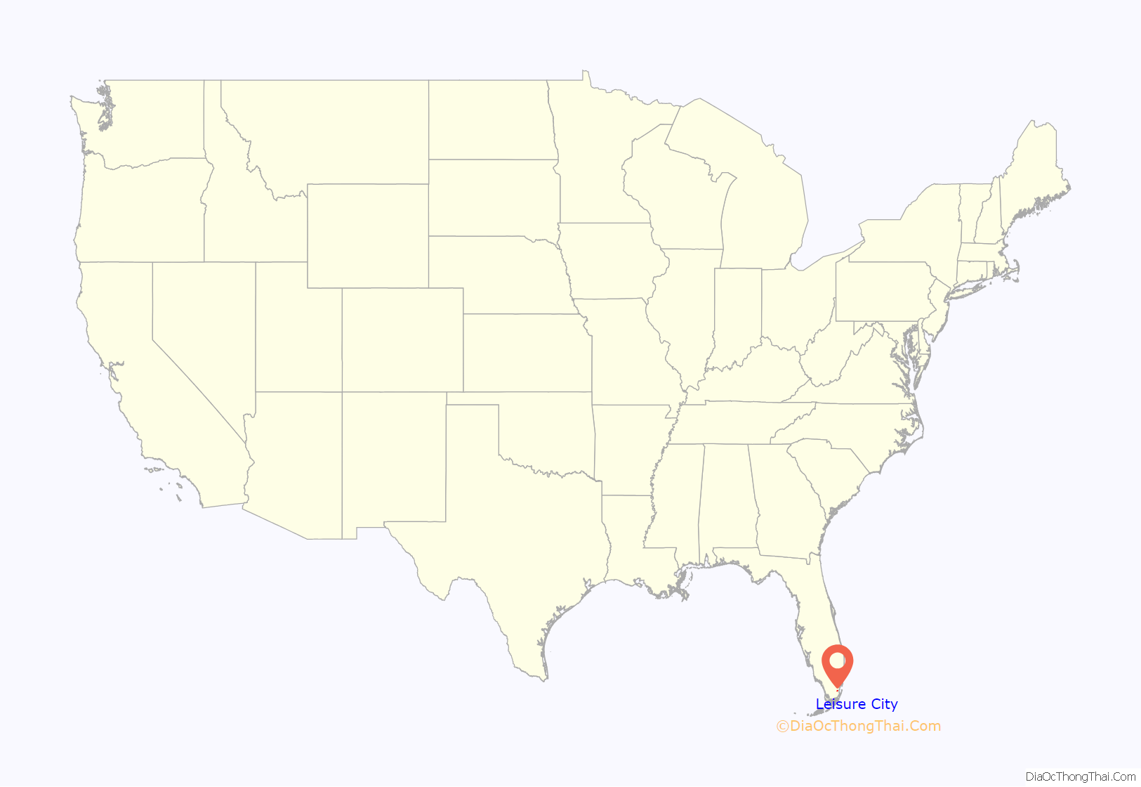
Leisure City location map. Where is Leisure City CDP?
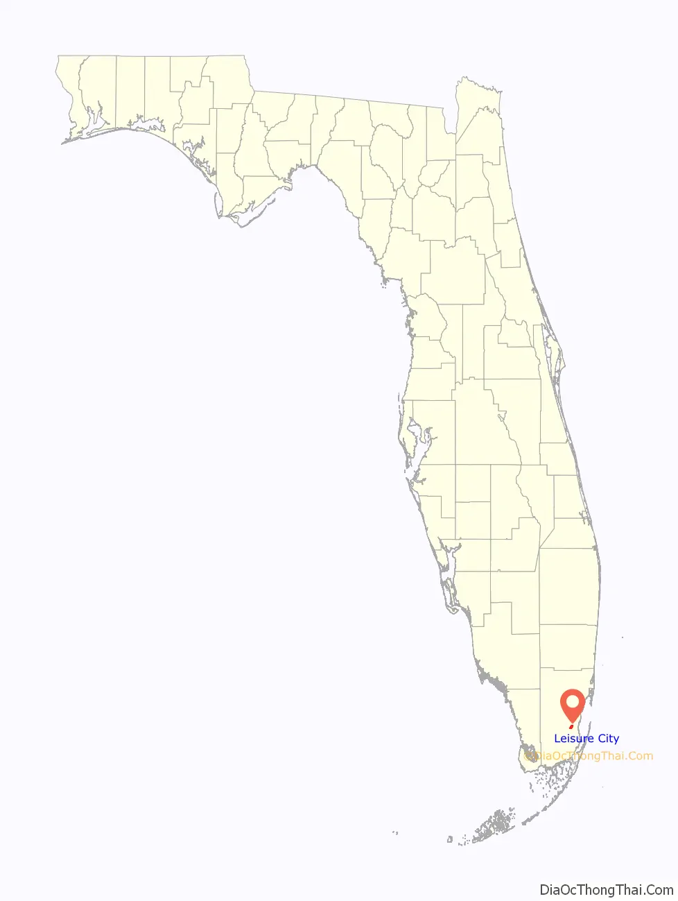
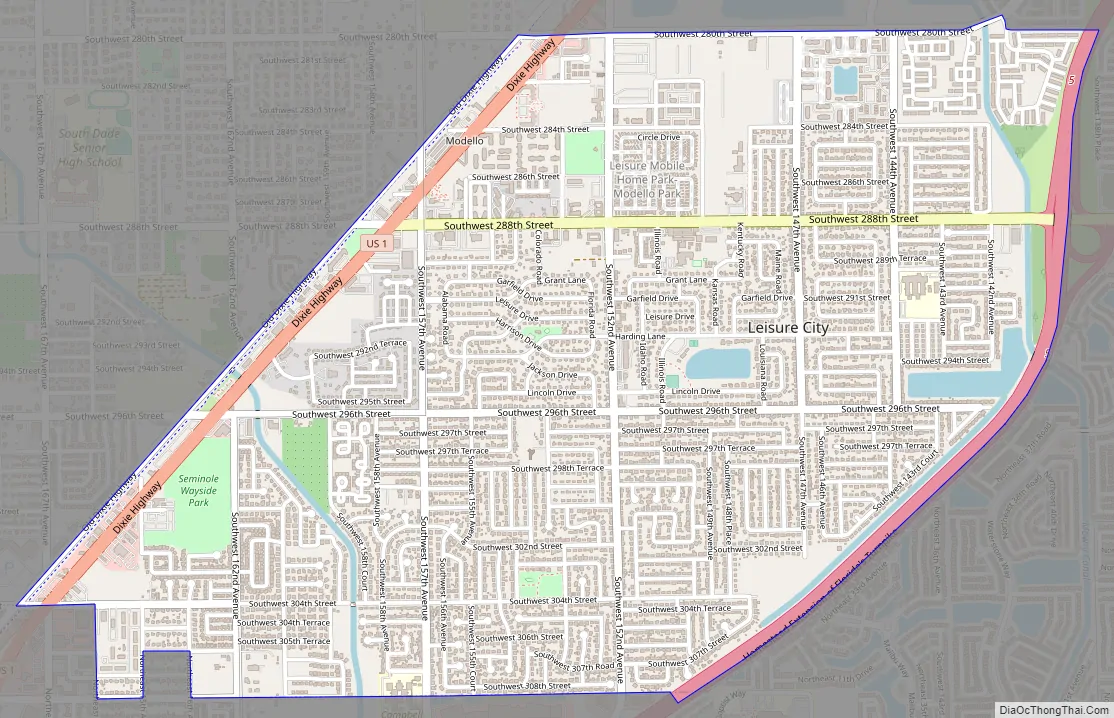
Leisure City Road Map
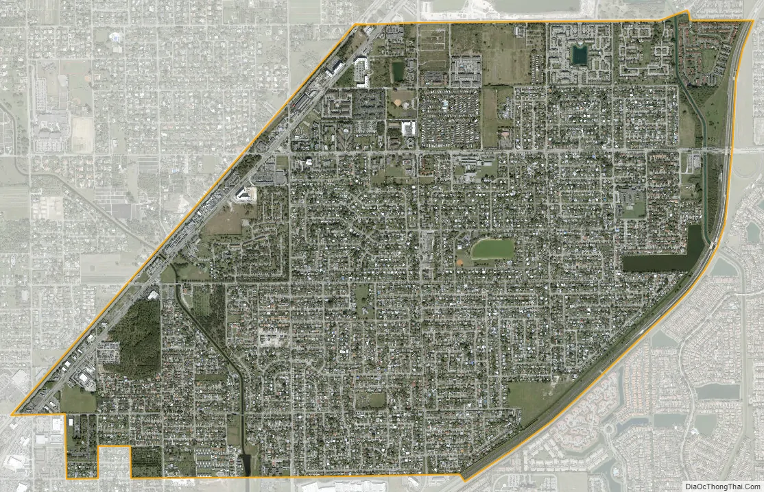
Leisure City city Satellite Map
Geography
Leisure City is located 27 miles (43 km) southwest of Miami at 25°29′39″N 80°26′10″W / 25.49417°N 80.43611°W / 25.49417; -80.43611 (25.494037, -80.436229). It is bordered to the south and east by the city of Homestead and to the north by unincorporated Naranja. Unincorporated Redland is to the northwest.
U.S. Route 1 runs along the northwest edge of the community, leading south into Homestead and northeast to Miami. The Homestead Extension of Florida’s Turnpike runs along the Homestead city line at the southeast edge of the community, with access from Exit 2 (SW 157th Avenue) just south of Leisure City and from Exit 5 (SW 288th Street) at the community’s eastern edge.
According to the United States Census Bureau, the CDP has a total area of 3.33 square miles (8.6 km), of which 3.26 square miles (8.4 km) are land and 0.07 square miles (0.18 km), or 2.01%, are water.
See also
Map of Florida State and its subdivision:- Alachua
- Baker
- Bay
- Bradford
- Brevard
- Broward
- Calhoun
- Charlotte
- Citrus
- Clay
- Collier
- Columbia
- Desoto
- Dixie
- Duval
- Escambia
- Flagler
- Franklin
- Gadsden
- Gilchrist
- Glades
- Gulf
- Hamilton
- Hardee
- Hendry
- Hernando
- Highlands
- Hillsborough
- Holmes
- Indian River
- Jackson
- Jefferson
- Lafayette
- Lake
- Lee
- Leon
- Levy
- Liberty
- Madison
- Manatee
- Marion
- Martin
- Miami-Dade
- Monroe
- Nassau
- Okaloosa
- Okeechobee
- Orange
- Osceola
- Palm Beach
- Pasco
- Pinellas
- Polk
- Putnam
- Saint Johns
- Saint Lucie
- Santa Rosa
- Sarasota
- Seminole
- Sumter
- Suwannee
- Taylor
- Union
- Volusia
- Wakulla
- Walton
- Washington
- Alabama
- Alaska
- Arizona
- Arkansas
- California
- Colorado
- Connecticut
- Delaware
- District of Columbia
- Florida
- Georgia
- Hawaii
- Idaho
- Illinois
- Indiana
- Iowa
- Kansas
- Kentucky
- Louisiana
- Maine
- Maryland
- Massachusetts
- Michigan
- Minnesota
- Mississippi
- Missouri
- Montana
- Nebraska
- Nevada
- New Hampshire
- New Jersey
- New Mexico
- New York
- North Carolina
- North Dakota
- Ohio
- Oklahoma
- Oregon
- Pennsylvania
- Rhode Island
- South Carolina
- South Dakota
- Tennessee
- Texas
- Utah
- Vermont
- Virginia
- Washington
- West Virginia
- Wisconsin
- Wyoming


