Melbourne /ˈmɛlbərn/ is a city in Brevard County, Florida, United States. It is located 72 mi (116 km) southeast of Orlando. As of the 2020 Decennial Census, there was a population of 84,678. The municipality is the second-largest in the county by both size and population. Melbourne is a principal city of the Palm Bay – Melbourne – Titusville, Florida Metropolitan Statistical Area. In 1969, the city was expanded by merging with nearby Eau Gallie.
| Name: | Melbourne city |
|---|---|
| LSAD Code: | 25 |
| LSAD Description: | city (suffix) |
| State: | Florida |
| County: | Brevard County |
| Elevation: | 20 ft (6 m) |
| Total Area: | 49.97 sq mi (129.43 km²) |
| Land Area: | 44.15 sq mi (114.36 km²) |
| Water Area: | 5.82 sq mi (15.07 km²) 14.4% |
| Total Population: | 84,678 |
| Population Density: | 1,917.83/sq mi (740.47/km²) |
| ZIP code: | 32901, 32934, 32935, 32940, 32902, 32912, 32936, 32941, 32904 |
| Area code: | 321 |
| FIPS code: | 1243975 |
| GNISfeature ID: | 0294589 |
Online Interactive Map
Click on ![]() to view map in "full screen" mode.
to view map in "full screen" mode.
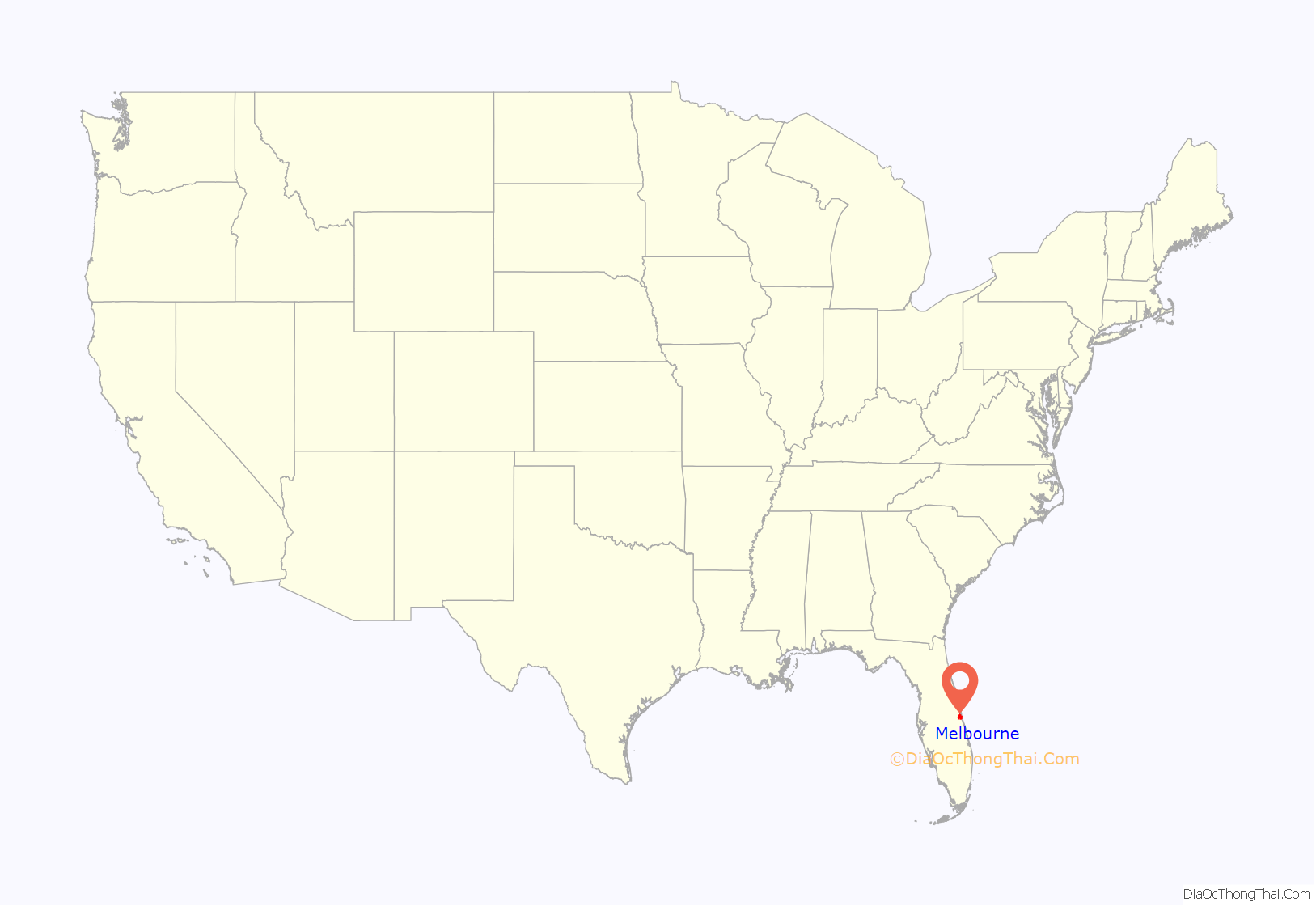
Melbourne location map. Where is Melbourne city?
History
Early human occupation
Evidence for the presence of Paleo-Indians in the Melbourne area during the late Pleistocene epoch was uncovered during the 1920s. C. P. Singleton, a Harvard University zoologist, discovered the bones of a mammoth (Mammuthus columbi) on his property along Crane Creek, 1.5 miles (2.4 km) from Melbourne, and brought in Amherst College paleontologist Frederick B. Loomis to excavate the skeleton. Loomis found a second elephant, with a “large rough flint instrument” among fragments of the elephant’s ribs. Loomis found in the same stratum mammoth, mastodon, horse, ground sloth, tapir, peccary, camel, and saber-tooth cat bones, all extinct in Florida since the end of the Pleistocene 10,000–8,000 BCE. At a nearby site a human rib and charcoal were found in association with Mylodon, Megalonyx, and Chlamytherium (ground sloth) teeth. A finely worked spear point found with these items may have been displaced from a later stratum. In 1925 attention shifted to the Melbourne golf course.
A crushed human skull with finger, arm, and leg bones was found in association with a horse tooth. A piece of ivory that appeared to have been modified by humans was found at the bottom of the stratum containing bones. Other finds included a spear point near a mastodon bone and a turtle-back scraper and blade found with bear, camel, mastodon, horse, and tapir bones. Similar human remains, Pleistocene animals and Paleo-Indian artifacts were found in Vero Beach, 30 miles (48 km) south of Melbourne, and similar Paleo-Indian artifacts were found at the Helen Blazes archaeological site, 10 miles (16 km) southwest of Melbourne.
Settlement
The first settlers arrived after 1877. They included Richard W. Goode, his father John Goode, Cornthwaite John Hector, Captain Peter Wright, Balaam Allen, Wright Brothers, and Thomas Mason. Three of these men, Wright, Allen, and Brothers were black freedmen.
The city, formerly called “Crane Creek”, was named Melbourne in honor of its first postmaster, Cornthwaite John Hector, an Englishman who had spent much of his life in Melbourne, Victoria, Australia (which was in turn named after the British Prime Minister William Lamb, 2nd Viscount Melbourne). He is buried in the Melbourne Cemetery, along with many early residents in the area. The first school in Melbourne was built in 1883 and is on permanent exhibit on the campus of Florida Institute of Technology. By 1885, the town had 70 people. The Greater Allen Chapel African Methodist Episcopal Church was founded in 1885 and is still active.
In the late 1890s, the Brownlie-Maxwell Funeral Home opened and it is still in business. The oldest black-owned business in the county is Tucker’s Cut-Rate plumbing. It opened in 1934.
In the early 1900s, houses were often built in the frame vernacular style.
In 1919, a fire destroyed most of the original downtown along Front Street. At the time, it was rebuilt west of US Hwy 1.
During the Jim Crow years, black people were required to enter movie theaters via a different entrance from whites and sit in the balcony. Gas stations had signs for rest rooms labeled “Men”, “Women”, and “Colored.” This persisted until integration in the late 1960s.
In late 1942 the Naval Air Station Melbourne was established as a site to train newly commissioned Navy and Marine pilots for World War II. The program ran until 1946, and the land that was used for that program makes up most of what is currently the Melbourne Orlando International Airport.
In 1969, the cities of Eau Gallie and Melbourne voted to merge, forming modern-day Melbourne.
Postwar
In the 1950s, Babcock Street was extended north to intersect with US 1. The Melbourne Shopping Center was constructed on Babcock, the area’s first strip mall. Consumers were sufficiently attracted to this new mall, that the traditional downtown, off New Haven, suffered. Urban blight was successfully mitigated in the 1980s.
A board was created by the legislature to spend a 10% tax on electric bills. This was used by the Melbourne Civic Improvement Board to build the Melbourne Auditorium, the first library and fire station, and various parks. The board was dissolved when Melbourne was merged with Eau Gallie in 1969. That merger doubled the size of Melbourne.
Streetlights were gradually added until, by the early 1960s, streets east of Babcock Street had lights. Lights were added to streets west of Babcock after the early 1960s.
In 1969, the city elected Julius Montgomery, its first black councilman. Montgomery was also the first African American student of Brevard Engineering College, later Florida Institute of Technology which named their Pioneer Award after him.
On August 2, 1995, the city received a record 9.06 inches (230 mm) of rainfall from Hurricane Erin.
During the week of August 22, 2008, a record 17.54 inches (446 mm) of rain fell caused by Tropical Storm Fay.
A 2009 Halloween street party sponsored by a downtown restaurant attracted an estimated 8,000–10,000 people. This overwhelmed the downtown area. Street parties were curtailed until public safety issues were addressed.
On February 18, 2017, president Donald J. Trump held his first post-inauguration rally at the Orlando-Melbourne International Airport drawing a crowd of approximately 9,000 people according to the Melbourne police department.
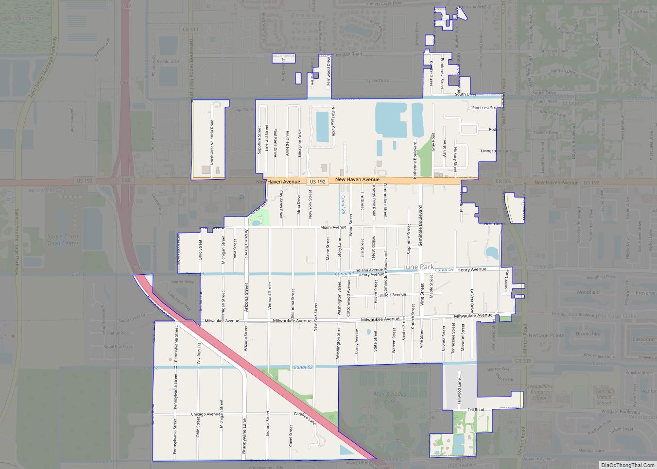
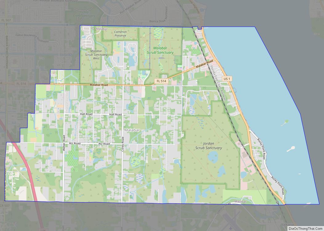
Melbourne Road Map
Melbourne city Satellite Map
Geography
Melbourne is located approximately 60 miles (97 km) southeast of Orlando on the Space Coast, along Interstate 95. It is approximately midway between Jacksonville and Miami. According to the United States Census Bureau, the city has a total area of 39.6 square miles (102.5 km), of which 33.9 square miles (87.7 km) is land and 5.7 square miles (14.8 km) (14.42%) is water.
The east–west street named Brevard Drive was historically the “center” of town; with addresses called “north” and “south” of this street. The north–south Babcock Street provided the same centerline for “east” and “west” directions.
Melbourne Beachside has a small presence on the South Beaches barrier island. It is often confused with Melbourne Beach, a separate political entity.
Climate
Melbourne, Florida has a humid subtropical climate (Cfa), bordering closely to a tropical savanna climate. Melbourne has a distinctly seasonal precipitation pattern, with a hot and wet season (late May through October) and a warm and dry season (November through April). The climate is strongly influenced by the nearby Atlantic Ocean and Gulf Stream, as well as incursions of cold fronts from the north in winter months.
Melbourne averages 51 inches (1,300 mm) of rainfall annually, much of it coming in convective thunderstorms in the late May to early October time period. The record rainfall occurred on August 20, 2008, when Tropical Storm Fay dropped 18.21 inches (463 mm). Melbourne can sometimes have moderate to severe drought conditions from late fall through spring, with brush fires occurring and water restrictions put in place. Melbourne averages 2 days per year with frost, although several years might pass without a frost in the city of Melbourne or at the ocean beaches. On Christmas Eve 2003, the city as others in east central coast of Florida received snow from the ocean effect, when cold air passes over the considerably hotter ocean and causes the rise of air with higher temperature to bring moisture into the higher portions of the atmosphere.
Flora
Tropical flora typical of more southerly locations is grown in the Melbourne area (coconut palms, royal palms, Christmas palms, and bananas), but can be damaged or killed when subjected to infrequent light freezes or cooler temperatures, although several years might pass without a freeze in the Melbourne area. The Melbourne area has many lush gardens and public landscapes, and is noted for the botanical northern limit of cultivated coconut palms on the Florida East Coast.
Environment
The Florida Department of Environmental Protection has ordered the city to reduce pollution of the Indian River Lagoon, which it borders; about 80% of the city’s landmass drains in the direction of the lagoon. The city must reduce run-off by 44,000 pounds (20,000 kg) of nitrogen and 13,000 pounds (5,900 kg) of phosphorus. The city responded by banning the use of fertilizer before flood and storm warnings.
See also
Map of Florida State and its subdivision:- Alachua
- Baker
- Bay
- Bradford
- Brevard
- Broward
- Calhoun
- Charlotte
- Citrus
- Clay
- Collier
- Columbia
- Desoto
- Dixie
- Duval
- Escambia
- Flagler
- Franklin
- Gadsden
- Gilchrist
- Glades
- Gulf
- Hamilton
- Hardee
- Hendry
- Hernando
- Highlands
- Hillsborough
- Holmes
- Indian River
- Jackson
- Jefferson
- Lafayette
- Lake
- Lee
- Leon
- Levy
- Liberty
- Madison
- Manatee
- Marion
- Martin
- Miami-Dade
- Monroe
- Nassau
- Okaloosa
- Okeechobee
- Orange
- Osceola
- Palm Beach
- Pasco
- Pinellas
- Polk
- Putnam
- Saint Johns
- Saint Lucie
- Santa Rosa
- Sarasota
- Seminole
- Sumter
- Suwannee
- Taylor
- Union
- Volusia
- Wakulla
- Walton
- Washington
- Alabama
- Alaska
- Arizona
- Arkansas
- California
- Colorado
- Connecticut
- Delaware
- District of Columbia
- Florida
- Georgia
- Hawaii
- Idaho
- Illinois
- Indiana
- Iowa
- Kansas
- Kentucky
- Louisiana
- Maine
- Maryland
- Massachusetts
- Michigan
- Minnesota
- Mississippi
- Missouri
- Montana
- Nebraska
- Nevada
- New Hampshire
- New Jersey
- New Mexico
- New York
- North Carolina
- North Dakota
- Ohio
- Oklahoma
- Oregon
- Pennsylvania
- Rhode Island
- South Carolina
- South Dakota
- Tennessee
- Texas
- Utah
- Vermont
- Virginia
- Washington
- West Virginia
- Wisconsin
- Wyoming
