Oakland Park, officially the City of Oakland Park, is a city in Broward County, Florida, United States. As of the 2020 United States Census, the city’s population was 44,229. It is part of the Miami–Fort Lauderdale–West Palm Beach Metropolitan Statistical Area, which was home to 6,166,488 people at the 2020 census.
| Name: | Oakland Park city |
|---|---|
| LSAD Code: | 25 |
| LSAD Description: | city (suffix) |
| State: | Florida |
| County: | Broward County |
| Elevation: | 9 ft (1 m) |
| Land Area: | 7.53 sq mi (19.51 km²) |
| Water Area: | 0.67 sq mi (1.73 km²) |
| Population Density: | 5,870.59/sq mi (2,266.62/km²) |
| ZIP code: | 33304-33309, 33311, 33334 |
| Area code: | 754, 954 |
| FIPS code: | 1250575 |
| GNISfeature ID: | 0288013 |
| Website: | www.oaklandparkfl.gov |
Online Interactive Map
Click on ![]() to view map in "full screen" mode.
to view map in "full screen" mode.
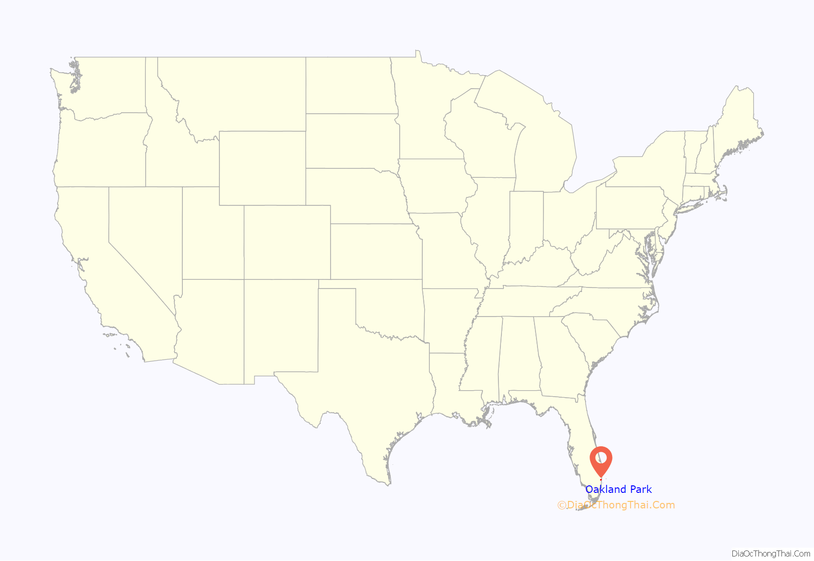
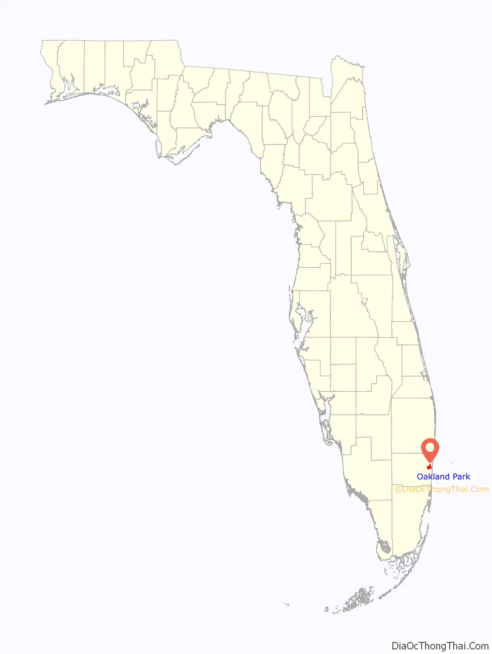
Oakland Park location map. Where is Oakland Park city?
History
Originally named Floranada (a blend of Florida and Canada) and U-Turn City, the town was forced into bankruptcy after the hurricane of 1926. When the municipality reincorporated, residents chose to make it a city and voted for the name Oakland Park. The original boundaries went from the Atlantic Ocean, west to what is now U.S. 441, and from the north fork of Middle River north to Cypress Creek Boulevard, but when the boundaries were reestablished, it was to approximately the west side of U.S. 1, west to Northeast 3rd Avenue and the north fork of Middle River north to what is now Prospect Road. Over time, it has expanded to its current boundaries, mainly due to acquiring a few other areas, such as recent annexations of previously unincorporated neighborhoods of Twin Lakes South and North Andrews Gardens.
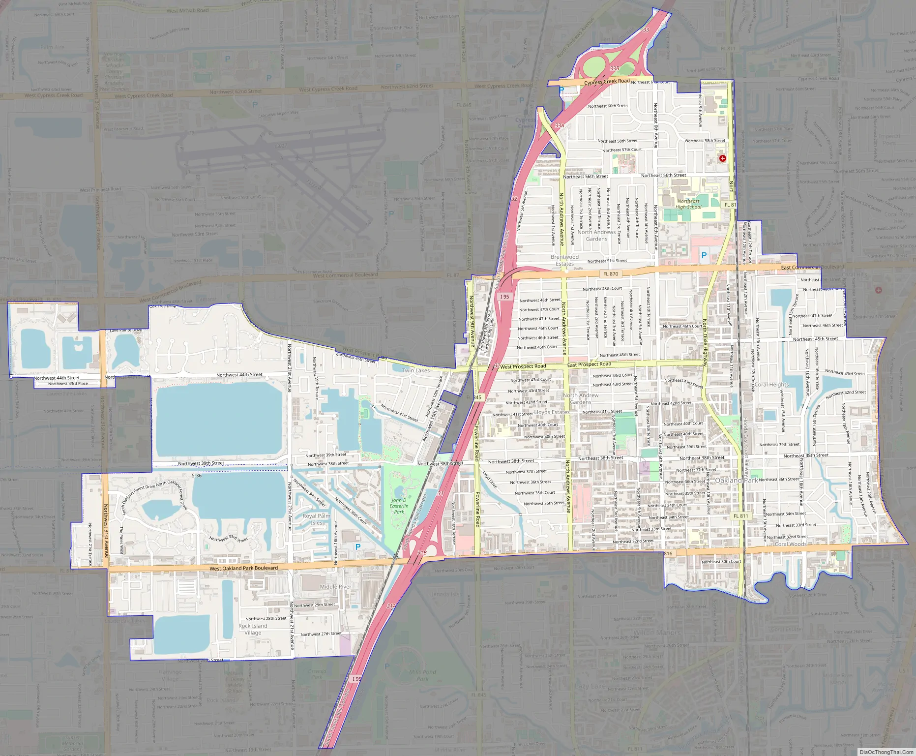
Oakland Park Road Map
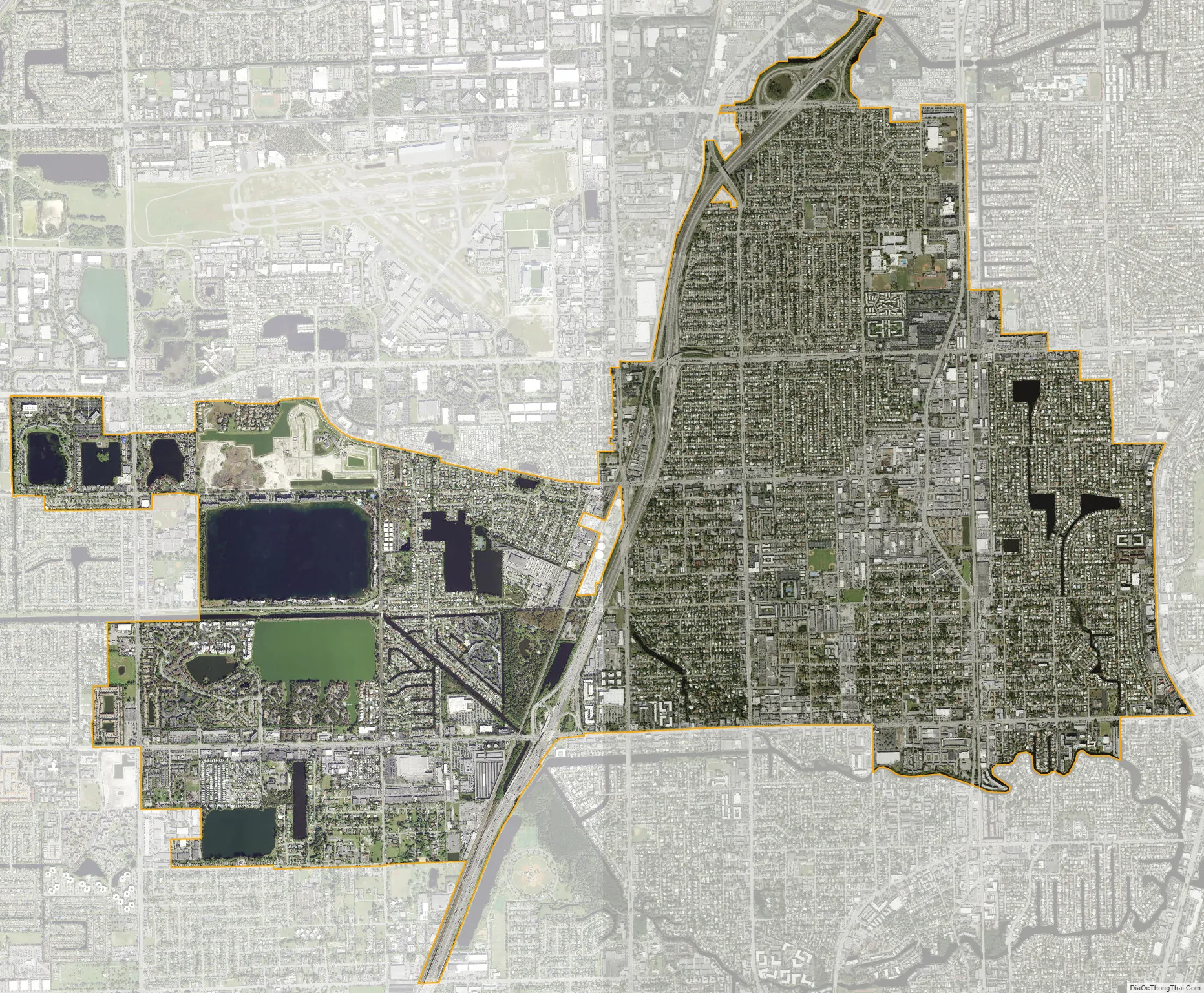
Oakland Park city Satellite Map
Geography
Oakland Park is located at 26°10′35″N 80°8′40″W / 26.17639°N 80.14444°W / 26.17639; -80.14444 (26.176362, –80.144509). According to the United States Census Bureau, the city has a total area of 8.1 square miles (21.1 km), of which 7.5 square miles (19.3 km) is land and 0.69 square miles (1.8 km) (8.40%) is water.
Oakland Park is bisected by the Florida East Coast Railway, which runs parallel to Dixie Highway through the city’s downtown. The City of Oakland Park has put into place new zoning regulations intended to transform downtown Oakland Park into a mixed-use pedestrian community. One element of the proposal is the creation of a new commuter rail station on the FEC rail line.
Oakland Park borders the city of Wilton Manors, which is experiencing a tremendous amount of new development. Increased property prices in Wilton Manors have pushed up prices in Oakland Park and spurred interest in the city’s downtown redevelopment plan.
See also
Map of Florida State and its subdivision:- Alachua
- Baker
- Bay
- Bradford
- Brevard
- Broward
- Calhoun
- Charlotte
- Citrus
- Clay
- Collier
- Columbia
- Desoto
- Dixie
- Duval
- Escambia
- Flagler
- Franklin
- Gadsden
- Gilchrist
- Glades
- Gulf
- Hamilton
- Hardee
- Hendry
- Hernando
- Highlands
- Hillsborough
- Holmes
- Indian River
- Jackson
- Jefferson
- Lafayette
- Lake
- Lee
- Leon
- Levy
- Liberty
- Madison
- Manatee
- Marion
- Martin
- Miami-Dade
- Monroe
- Nassau
- Okaloosa
- Okeechobee
- Orange
- Osceola
- Palm Beach
- Pasco
- Pinellas
- Polk
- Putnam
- Saint Johns
- Saint Lucie
- Santa Rosa
- Sarasota
- Seminole
- Sumter
- Suwannee
- Taylor
- Union
- Volusia
- Wakulla
- Walton
- Washington
- Alabama
- Alaska
- Arizona
- Arkansas
- California
- Colorado
- Connecticut
- Delaware
- District of Columbia
- Florida
- Georgia
- Hawaii
- Idaho
- Illinois
- Indiana
- Iowa
- Kansas
- Kentucky
- Louisiana
- Maine
- Maryland
- Massachusetts
- Michigan
- Minnesota
- Mississippi
- Missouri
- Montana
- Nebraska
- Nevada
- New Hampshire
- New Jersey
- New Mexico
- New York
- North Carolina
- North Dakota
- Ohio
- Oklahoma
- Oregon
- Pennsylvania
- Rhode Island
- South Carolina
- South Dakota
- Tennessee
- Texas
- Utah
- Vermont
- Virginia
- Washington
- West Virginia
- Wisconsin
- Wyoming


