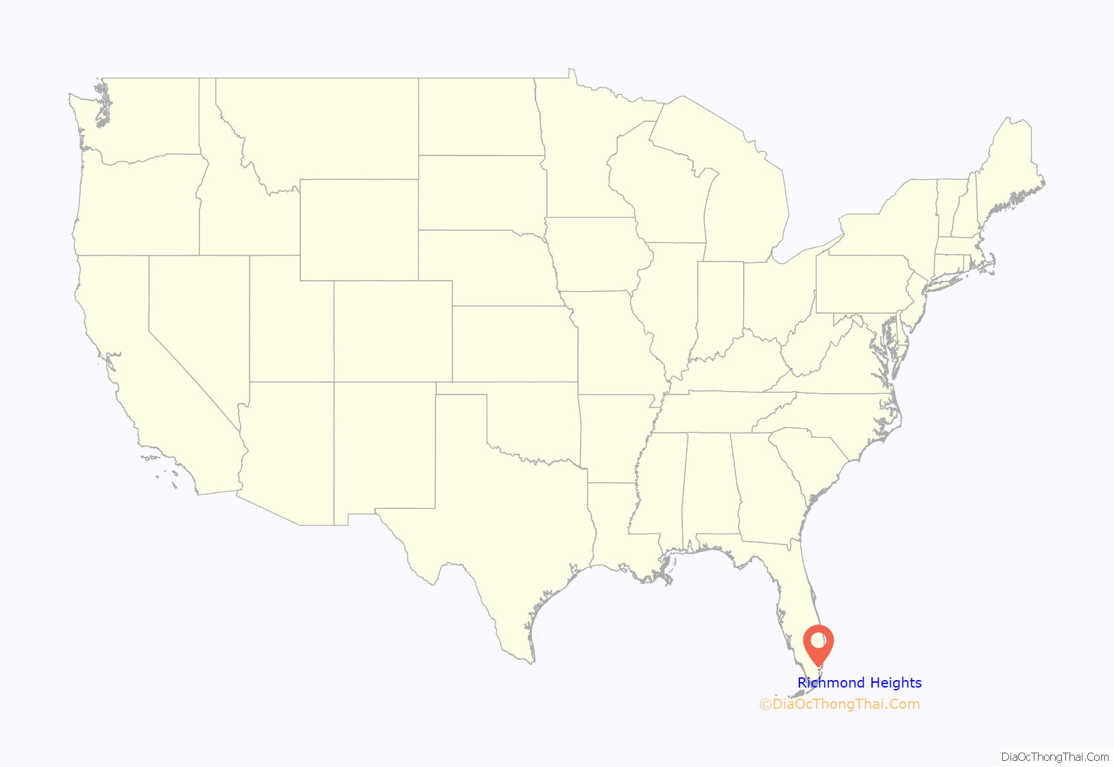
Richmond Heights is a census-designated place (CDP) in Miami-Dade County, Florida, United States. The population was 8,944 at the 2020 census.
| Name: | Richmond Heights CDP |
|---|---|
| LSAD Code: | 57 |
| LSAD Description: | CDP (suffix) |
| State: | Florida |
| County: | Miami-Dade County |
| Elevation: | 10 ft (3 m) |
| Total Area: | 1.61 sq mi (4.17 km²) |
| Land Area: | 1.59 sq mi (4.13 km²) |
| Water Area: | 0.01 sq mi (0.04 km²) |
| Total Population: | 8,944 |
| Population Density: | 5,611.04/sq mi (2,166.62/km²) |
| ZIP code: | 33157, 33176, 33186 (Miami) |
| Area code: | 305 |
| FIPS code: | 1260225 |
| GNISfeature ID: | 0289685 |
Online Interactive Map
Click on ![]() to view map in "full screen" mode.
to view map in "full screen" mode.
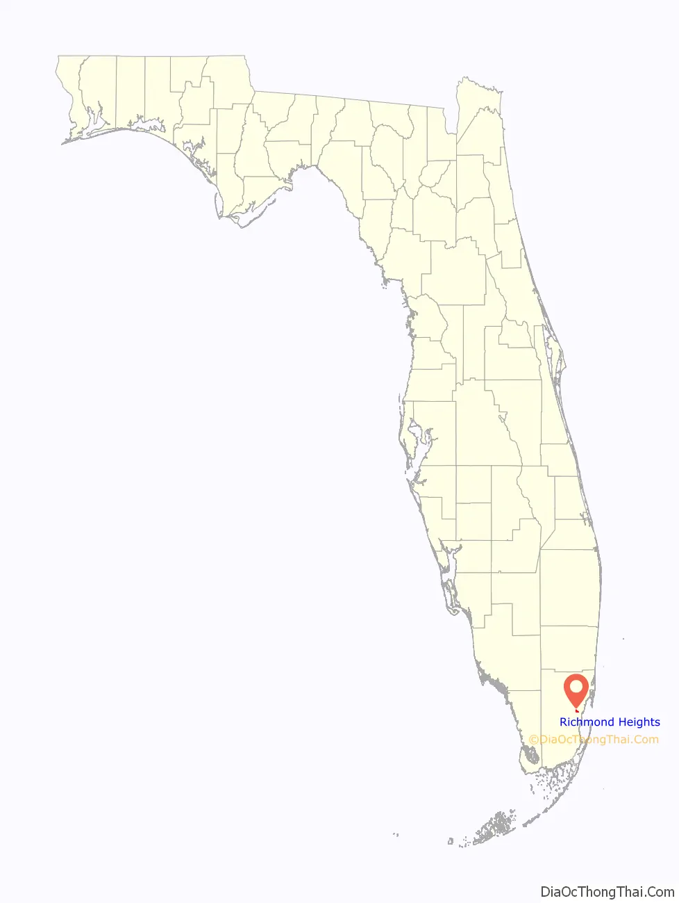
Richmond Heights location map. Where is Richmond Heights CDP?
History
At the beginning of World War II, the United States Navy purchased 2,500 acres (1,000 ha) of land in southwestern Dade (now called Miami-Dade) County for the purpose of constructing an airship base. The land was owned by the Richmond Timber Company, a major supplier of Dade County Pine (a denser, harder, sub-species of Pinus palustris, or longleaf pine). The base was named Naval Air Station Richmond, after the lumber company, and was home to the 25 ships of ZP-21 (Patrol, Airship Squadron 21 and Airship Wing 2). NAS Richmond was the second largest airship base in the United States, NAS Lakehurst in New Jersey being the largest. NAS Richmond was destroyed by a hurricane and fire in September 1945.
After the end of World War II, Captain Frank C. Martin, a Pan American pilot, purchased farmland adjacent to the base in rural southwest Dade County. With this purchase he created Richmond Heights, as a new community for returning African American veterans.
Of the original 2,500 acres (1,000 ha) he purchased in 1949, the federal government had used 800 acres (320 ha) to build the headquarters of Naval Air Station Richmond, a blimp base constructed in the early months of World War II Richmond, and was eventually home to 25 K-series blimps, three hangars, and 3,000 men. The hangars were 16 stories tall, built of Douglas fir brought in by train. The blimps protected ship convoys in the Florida Straits, and Richmond was the headquarters for the fight against U-boats operating in the Caribbean.
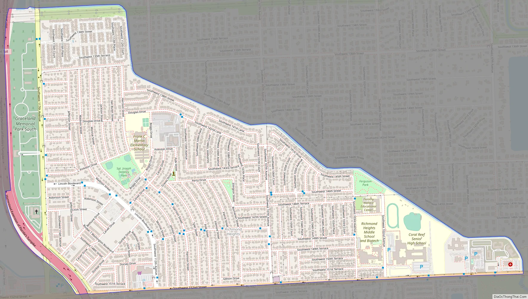
Richmond Heights Road Map
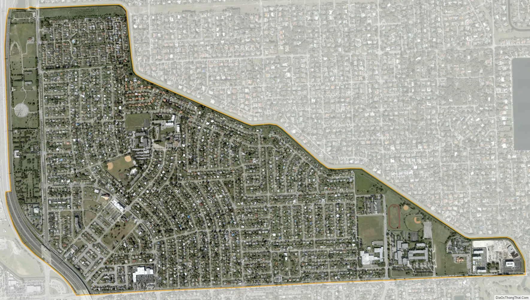
Richmond Heights city Satellite Map
Geography
Richmond Heights is located 16 miles (26 km) southwest of downtown Miami at 25°38′0″N 80°22′21″W / 25.63333°N 80.37250°W / 25.63333; -80.37250 (25.633415, -80.372362). It is bordered to the north and east by Kendall, to the south by Palmetto Estates, and to the west by Three Lakes.
According to the United States Census Bureau, the CDP has a total area of 1.6 square miles (4.1 km), of which 0.02 square miles (0.05 km), or 0.93%, are water.
See also
Map of Florida State and its subdivision:- Alachua
- Baker
- Bay
- Bradford
- Brevard
- Broward
- Calhoun
- Charlotte
- Citrus
- Clay
- Collier
- Columbia
- Desoto
- Dixie
- Duval
- Escambia
- Flagler
- Franklin
- Gadsden
- Gilchrist
- Glades
- Gulf
- Hamilton
- Hardee
- Hendry
- Hernando
- Highlands
- Hillsborough
- Holmes
- Indian River
- Jackson
- Jefferson
- Lafayette
- Lake
- Lee
- Leon
- Levy
- Liberty
- Madison
- Manatee
- Marion
- Martin
- Miami-Dade
- Monroe
- Nassau
- Okaloosa
- Okeechobee
- Orange
- Osceola
- Palm Beach
- Pasco
- Pinellas
- Polk
- Putnam
- Saint Johns
- Saint Lucie
- Santa Rosa
- Sarasota
- Seminole
- Sumter
- Suwannee
- Taylor
- Union
- Volusia
- Wakulla
- Walton
- Washington
- Alabama
- Alaska
- Arizona
- Arkansas
- California
- Colorado
- Connecticut
- Delaware
- District of Columbia
- Florida
- Georgia
- Hawaii
- Idaho
- Illinois
- Indiana
- Iowa
- Kansas
- Kentucky
- Louisiana
- Maine
- Maryland
- Massachusetts
- Michigan
- Minnesota
- Mississippi
- Missouri
- Montana
- Nebraska
- Nevada
- New Hampshire
- New Jersey
- New Mexico
- New York
- North Carolina
- North Dakota
- Ohio
- Oklahoma
- Oregon
- Pennsylvania
- Rhode Island
- South Carolina
- South Dakota
- Tennessee
- Texas
- Utah
- Vermont
- Virginia
- Washington
- West Virginia
- Wisconsin
- Wyoming


