Clawson is a city in Oakland County in the U.S. state of Michigan. It is part of the Detroit metropolitan area. At the 2010 census, its population was 11,825.
| Name: | Clawson city |
|---|---|
| LSAD Code: | 25 |
| LSAD Description: | city (suffix) |
| State: | Michigan |
| County: | Oakland County |
| Incorporated: | 1921 (village) 1940 (city) |
| Elevation: | 663 ft (202 m) |
| Land Area: | 2.20 sq mi (5.70 km²) |
| Water Area: | 0.00 sq mi (0.00 km²) |
| Population Density: | 5,176.82/sq mi (1,999.09/km²) |
| Area code: | 248 |
| FIPS code: | 2616160 |
| GNISfeature ID: | 0623389 |
Online Interactive Map
Click on ![]() to view map in "full screen" mode.
to view map in "full screen" mode.
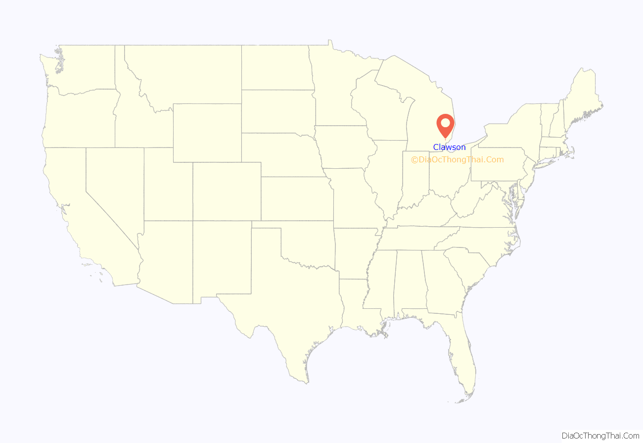
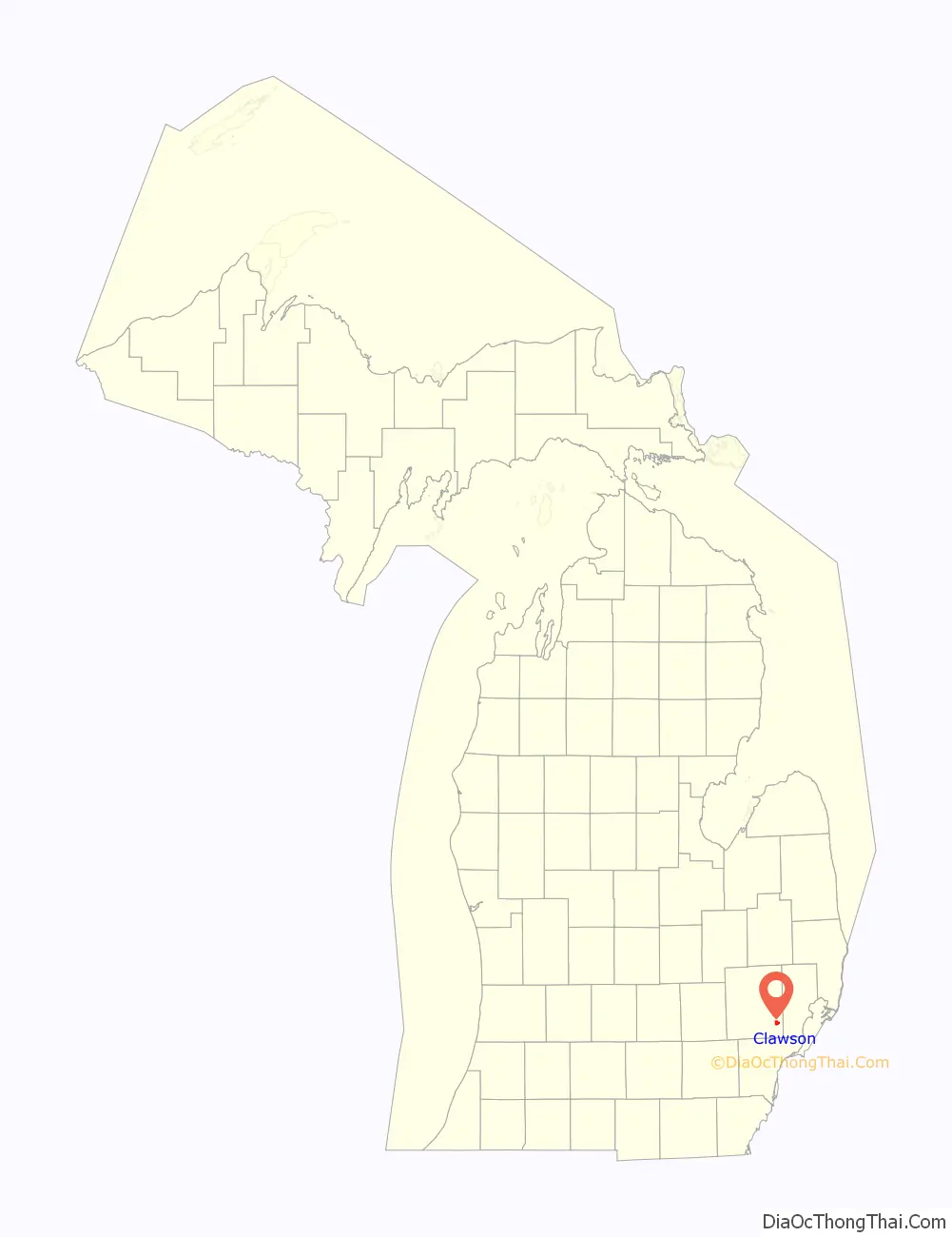
Clawson location map. Where is Clawson city?
History
This area was occupied by the historic Potowatomi people, who were among the indigenous peoples in the Detroit territory. They traded furs for goods for years with the French Canadians and English colonists.
The city’s name is a misspelling of the surname of John Lawson, an early European-American settler. It was founded by European Americans in 1829 and was originally known as Pumachug and The Corners. The name was inspired by the sound made by the Cider Mill and Saw Mill on each corner of the main intersection. The sound was described as “pum-a-chug, pum-a-chug.” The city was incorporated as Clawson in 1921 as a village; in 1940 it was incorporated as a city.
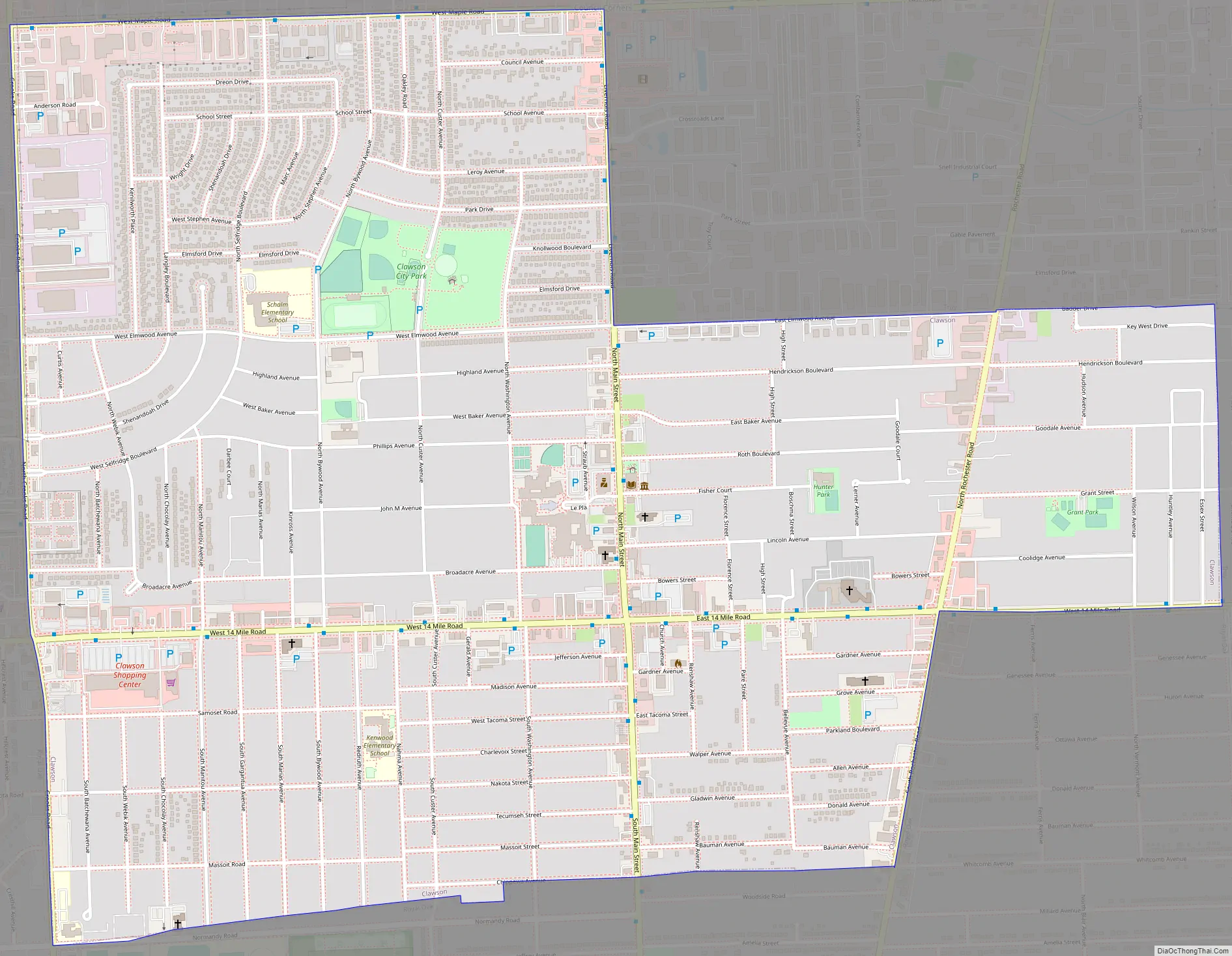
Clawson Road Map
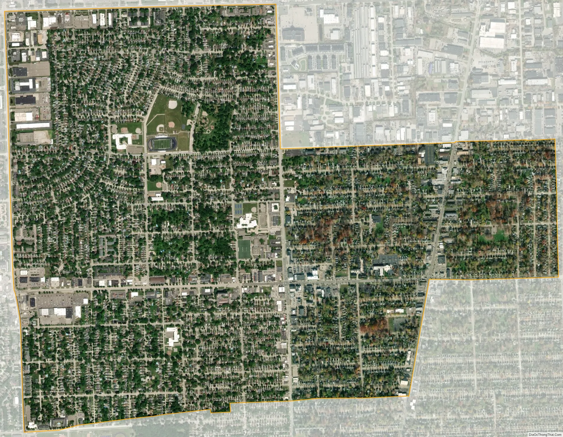
Clawson city Satellite Map
Geography
According to the United States Census Bureau, the city has a total area of 2.20 square miles (5.70 km), all land.
See also
Map of Michigan State and its subdivision:- Alcona
- Alger
- Allegan
- Alpena
- Antrim
- Arenac
- Baraga
- Barry
- Bay
- Benzie
- Berrien
- Branch
- Calhoun
- Cass
- Charlevoix
- Cheboygan
- Chippewa
- Clare
- Clinton
- Crawford
- Delta
- Dickinson
- Eaton
- Emmet
- Genesee
- Gladwin
- Gogebic
- Grand Traverse
- Gratiot
- Hillsdale
- Houghton
- Huron
- Ingham
- Ionia
- Iosco
- Iron
- Isabella
- Jackson
- Kalamazoo
- Kalkaska
- Kent
- Keweenaw
- Lake
- Lake Hurron
- Lake Michigan
- Lake St. Clair
- Lake Superior
- Lapeer
- Leelanau
- Lenawee
- Livingston
- Luce
- Mackinac
- Macomb
- Manistee
- Marquette
- Mason
- Mecosta
- Menominee
- Midland
- Missaukee
- Monroe
- Montcalm
- Montmorency
- Muskegon
- Newaygo
- Oakland
- Oceana
- Ogemaw
- Ontonagon
- Osceola
- Oscoda
- Otsego
- Ottawa
- Presque Isle
- Roscommon
- Saginaw
- Saint Clair
- Saint Joseph
- Sanilac
- Schoolcraft
- Shiawassee
- Tuscola
- Van Buren
- Washtenaw
- Wayne
- Wexford
- Alabama
- Alaska
- Arizona
- Arkansas
- California
- Colorado
- Connecticut
- Delaware
- District of Columbia
- Florida
- Georgia
- Hawaii
- Idaho
- Illinois
- Indiana
- Iowa
- Kansas
- Kentucky
- Louisiana
- Maine
- Maryland
- Massachusetts
- Michigan
- Minnesota
- Mississippi
- Missouri
- Montana
- Nebraska
- Nevada
- New Hampshire
- New Jersey
- New Mexico
- New York
- North Carolina
- North Dakota
- Ohio
- Oklahoma
- Oregon
- Pennsylvania
- Rhode Island
- South Carolina
- South Dakota
- Tennessee
- Texas
- Utah
- Vermont
- Virginia
- Washington
- West Virginia
- Wisconsin
- Wyoming


