Wimbledon is a city in Pierce Township, Barnes County, North Dakota, United States. The population was 178 at the 2020 census.
| Name: | Wimbledon city |
|---|---|
| LSAD Code: | 25 |
| LSAD Description: | city (suffix) |
| State: | North Dakota |
| County: | Barnes County |
| Founded: | 1892 |
| Elevation: | 1,490 ft (454 m) |
| Total Area: | 0.62 sq mi (1.61 km²) |
| Land Area: | 0.62 sq mi (1.61 km²) |
| Water Area: | 0.00 sq mi (0.00 km²) |
| Total Population: | 178 |
| Population Density: | 286.17/sq mi (110.54/km²) |
| ZIP code: | 58492 |
| Area code: | 701 |
| FIPS code: | 3886620 |
| GNISfeature ID: | 1032841 |
| Website: | wimbledonnd.com |
Online Interactive Map
Click on ![]() to view map in "full screen" mode.
to view map in "full screen" mode.
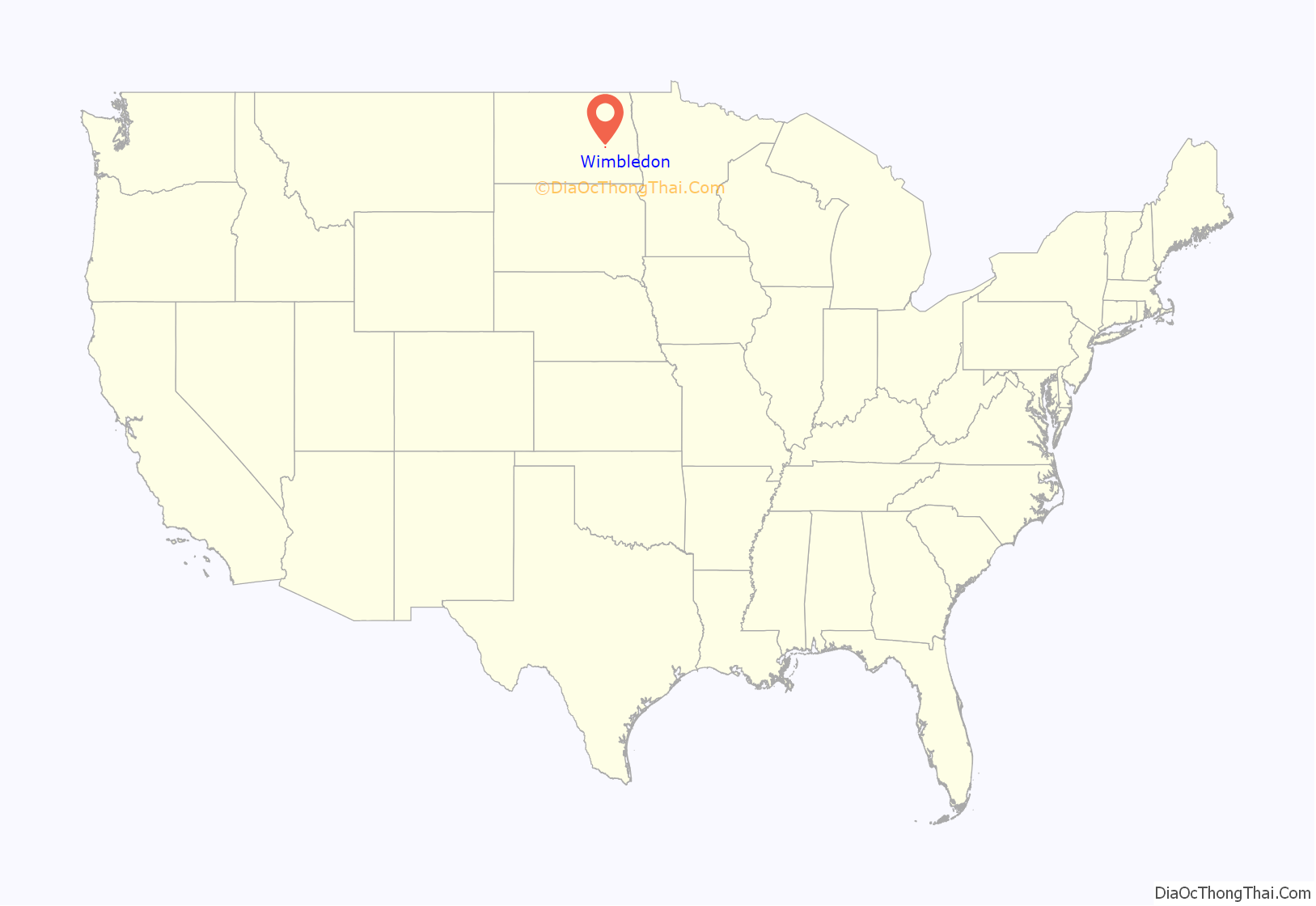
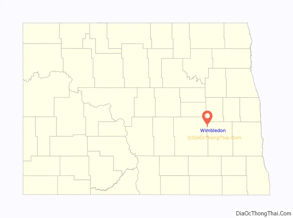
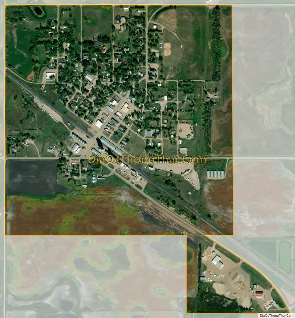
Wimbledon location map. Where is Wimbledon city?
History
Foundation
Wimbledon was founded in 1892. It was named for Wimbledon, London, which featured in the ancestry of John Henry Gibson, who homesteaded the land the town was built on.
Gibson was born in 1844 of farming stock at East Wallingford, Vermont, but went West as a young man and obtained title to 149 acres (60 hectares) of the local prairie in 1889. He registered this under the Homestead Act 1862, indicating that he settled around 1882. Fortuitously, he did so when the Minneapolis, St. Paul and Sault Ste. Marie Railroad (always nicknamed the Soo Line) was surveying a railroad on a bee-line diagonally across the state from Mantador to Portal to be part of a trunk route from Minneapolis to Vancouver, British Columbia. The survey line crossed his property, but initially the nearest town was pencilled in to be two miles south-east, and was to be called Hilltown. However, he offered land to the railroad at a good price and so, in late 1892, Wimbledon was platted and a post office established in 1893. Gibson’s farmstead (previously named Gibson after him) had already been a mail-drop beforehand, with his being entrusted to hand on mail to his neighbors -and this would have influenced matters.
Wimbledon was a railroad town, and proof of this is in the layout. Instead of the original platting grid conforming to the Public Land Survey System (PLSS), as most of the state of North Dakota does, it aligned to the railroad. Initially it was seven blocks wide and six deep, but only three of the latter “took” -and the horizontal streets were not given numbers, but descriptions: Railway, Center, and Out. As the town grew, its additions conformed to the PLSS, including areas originally part of the undeveloped back three strips.
Youth
The first of many grain elevators, for which the town was to be famous, was set up in the year of its foundation. There were to be eight by 1908.
The nascent town prospered, and obtained three indicators of civic status before the century was out. In 1894 the Hotel Kline was founded by Frank Kline, who dealt in railroad-shipped lumber at a time when the countryside hereabouts completely lacked trees. This was important for the future, as it meant commercial travelers and business folk could visit without being gourmandized by bed-bugs in a flophouse. Then, in the same year, the Wimbledon News newspaper was founded. Also, the first public school was set up -although it had to wait till 1906 for proper premises to be provided.
Water supply was a problem in summer, but the town is on an artesian basin. So, the railroad sank a well when the town was founded -but in winter the water pressure was uncontrollable, and the well was finally dynamited in 1916 to stop it flooding the town. The water was saline and unsuitable for drinking or locomotive boilers, anyway. However, it was good for peace of mind -because it enabled an effective fire-fighting department to be set up in 1893 (the early town buildings were all wooden, and fire was capable of burning a whole block out or worse).
The settlement was officially incorporated as a legal village in 1899. In North Dakota before 1967, incorporated settlements were either villages or cities (in that year, they all became cities). So, this amounted to Wimbledon becoming a town in the generally accepted sense of the term.
Maturity
Indications of the town’s coming of age in the new century were the acquisition of a bank (it had two for a time), a horse racing venue and a public cemetery.
The First National Bank of Wimbledon was chartered in 1903, and issued ten and twenty dollar bills. It built a two-storey brick edifice on Third and Center (122 3rd Avenue), but in 1913 faced competition when the Farmers & Merchants Bank of Wimbledon was founded. The latter was to serve the town for almost eighty years, taking over the First National’s building after its rival went bankrupt in 1925. It is now (2020) a branch of Bank Forward, but the old edifice has been abandoned and replaced with a single-storey layout on the opposite corner.
Victory Park, to the north-east of the town, became a horse racing venue in 1906 when the Wimbledon Fair and Racing Association was organized and a half-mile track was constructed with a proper grandstand. It lasted over half a century, but is now the town recreation ground.
The Prairie View Cemetery was founded in 1910, and is still in use. It is on 17th Street SE, quite a way east of town (the name is apt).
The town reached peak population of 571 in the 1910 census. In 1920 it was 521, and this was an indication that the first generation of homesteaders was already making way for commercial growers of grain, who were beginning to combine farms in order to enjoy economies of scale.
In 1908, the town had the following businesses and services: Four churches (three survive), a school, two banks, a post office, two hotels, two restaurants, two billiard halls, a newspaper, a telephone exchange (opened 1904), a realtor, two physicians, a dentist, a veterinary, two music instructors, two barbershops, four general stores, two butchers, a bakers, a confectioners, a drugstore, a clothes shop, a jewelers, a furniture store, two hardware stores, a harness shop, two blacksmiths (ironworkers), two tin shops (non-ferrous metalworkers), two implement shops, two livery stables (horse and mule hire places), a dray line (cart hire -no motor taxis or auto hire yet), a feed supplier (ancestor of the filling station), a printer, two painters, a builder and a stonemason. Attorneys were notable by their absence (they would have been around the courthouse in Valley City, but one did hang out his shingle here by 1920) and saloons were obviously not being listed. Not all the folks who ran these establishments would have been fully professional at the time, as many of them would have been homesteading as well.
In 1914, the village board granted an ordnance to the Wimbledon Electric Company to wire up the town. The company generated its own power.
Midland Continental Railroad
Before 1913, Wimbledon was just one of a string of small towns along the Soo Line railroad, with Leal to the south-east and Courtenay to the north-west. It depended entirely on this railroad for links with the outside world, as there was no state highway system back then.
In 1908, the Midland Continental Railroad (MICO) began construction of a trunk line from Winnipeg to Galveston, Texas passing through Courtenay, Jamestown and Edgeley. It built Edgeley to Jamestown but then, fortunately for Wimbledon, ran out of money for a bridge over the Northern Pacific Railway transcontinental line at the latter place. It was forced to build east to a point where it could burrow cheaply through a fill carrying the main line, and then head north to Wimbledon instead of Courteney.
The new railroad was finished in October 1913, apart from a very short extension of 0.3 miles (0.5 km) to a location called Frazier north of the Wimbledon passenger station and in open country. This was finished in December. The Wimbledon station was then to the east of downtown, on 17th Street SE.
Frazier on 16 1/2 Avenue SE was the site of an abortive rival town project sponsored by the North Dakota Nonpartisan League, and was named after a prominent member Lynn Frazier (later state governor). The MICO’s intention was to go on to Grand Forks, which was dropped when the USA entered the First World War in 1917. That was the end of Frazier as a town. Instead, it became the location of an important set of grain elevators run by the Frazier Farmers Union Co-op, opened in 1917.
The MICO made Wimbledon, in effect, a four-railroad town because, as well as handling its own traffic, it functioned as a terminal road for the Northern Pacific and also for the Chicago, Milwaukee, St. Paul and Pacific Railroad at Edgeley. So, the town gained access to two transcontinental lines and this gave it an edge over its neighbors.
Inter-war
In 1920 the MICO railroad moved its Wimbledon passenger station downtown from its former location on the city’s eastern outskirts, on 17th Street SE. A site was chosen on the corner of Railway Street and 4th Avenue, opposite the Soo main line station, and a short spur built to it from the western junction curve to the Soo Line. The station building was jacked up off its poured concrete foundation and put on rollers for its journey down Railway Street.
The local farmers then were growing wheat and oats in about equal quantities, with alfalfa for feed hay a smaller third. Other crops were rye, potatoes and linseed. Livestock and dairy farming did feature, as a reminder of the original self-sufficient mixed farming ideal of the homestead. A co-operative creamery was opened in 1929, and this also wholesaled the locally reared turkeys.
The creation of the North Dakota State Highway System in 1926 put Wimbledon on the wrong side of its railroads tracks from Route 9, but marked the end of the town’s complete dependence on its two railroads.
In that year the MICO ran one train each way to Jamestown but with only a twenty-minute layover, so folk could not go on a day-trip to that city. The Soo Line had two trains each way between Minneapolis and Portal, one slow and one semi-fast. The semi-fast left Wimbledon at 8:10 AM to arrive at Minneapolis at 5:45 PM, the same time as the return train left that city to arrive back at Wimbledon at 9:39 PM. These trains allowed for a full day in the county seat of Valley City, from 9:05 AM to 8:45 PM.
In 1937, the MICO railroad received permission to discontinue timetabled freight and passenger services from Jamestown to Wimbledon and to operate on call and demand, meaning that carload freight customers would contact MICO Control at Jamestown to arrange pickup and delivery. Passenger service continued, but on an irregular basis and would have involved a so-called mixed train consisting of a passenger car attached to a rake of freight cars. The former would have been used for LCL (less than-car-load) freight items as well. The last paying passenger was recorded as travelling in 1965.
Later 20th century
In 1948, the village board decided to open an airport, and purchased land to the south-west for a single grass runway. The Wimbledon Municipal Airport ended up having six small hangars in total, and was especially useful as a base for crop-spraying aircraft. However, it became a private airfield between 1965 and 1983 and ceased operations between 2001 and 2003. The terminal area including the hangars, on Route 9, was annexed to the city territory despite being in Stutsman County.
In 1950, the town was made a city. It was still three-quarters the size of what it had been at its peak in 1910 -population 449 compared to 571. The local farmers had taken to growing barley, which was the second crop after wheat -pushing oats into third place.
In 1957, the Wimbledon News newspaper ceased publication.
In 1968, the city had: Three churches, a school, a bank, a post office, a hotel, a restaurant, two insurance brokers, two meeting places (the American Legion Hall and the Wimbledon Community Building), a barbershop, a laundromat, two general stores (one called Jack’s Red Owl), a hardware store (called Cherney’s Hardware), two implement shops, a blacksmith, two oil company outlets, a filling station, a lumber yard, two truck lines, a builder, a home service company and a crop sprayer (based at the airport).
The NICO railroad closed down in 1969, after serious flood damage in the spring of that year. Formal abandonment took place in 1970, and the tracks were mostly torn up. However a stub from Frazier to Clementsville was kept on by the Soo Line to service grain elevators, and this survived until 1982.
The NICO Wimbledon station building was donated to the Wimbledon Community Museum, which kept it on a care-and-maintenance basis for the next forty years.
The American passenger railroad business had been failing for two decades, and in response the federal government created Amtrak in 1971 and relieved railroad companies of the responsibility of running passenger trains. This was the end of the passenger train station at Wimbledon, and so of any public transport links since the city had no scheduled bus service.
Recent times
The city population has been falling gently but steadily over the last few decades, at about thirty a decade. By 2018, it was down to an estimated 192 -which was a third of the peak in 1910. However this compares well with neighboring settlements which have either ghosted, or are heading that way. Of its near neighbors on the Soo Line railroad, Leal has twenty inhabitants, and Courtenay has forty-seven. On the MICO railroad, Durupt is now a plowed field -this was an older settlement than Wimbledon, and the latter’s first Catholic church used to be here before being moved.
The economics of scale in farming continue to be applied in North Dakota, and since 2007 farm size has gone up 20% with a consequent loss of population. On the enlarged farms locally, soybeans had displaced wheat as the number one crop with corn in third place.
In 2012, the old MICO train station was refurbished and opened as the Midland Continental Depot Transportation Museum, featuring the life of Peggy Lee as well as the railroad.
In 2014, the school closed as the result of a merger, and concentration on a more central site for the north part of the county. In 2015, the John Deere agricultural machinery dealership also shut.
As with most small American towns outside touristy areas, running an independent retail or service business here became very economically challenging towards the end of the 20th century. In response to the threat of losing its last general store after the closure of John Deere, locals set up the Wimbledon Community Store and Café as a non-profit organization relying in part on volunteers to run it.
The community has also erected a Veterans’ Memorial, completed in 2017.
In 2020, the city had: Three churches, a bank, a post office, a general store with small restaurant and kitchenette for rental, a bar, two insurance brokers, a sleep consultant, a child care center, two farm suppliers (one a co-op with a retail outlet and diner), a car wash and two campsites. The Wimbledon Newsletter is published monthly.
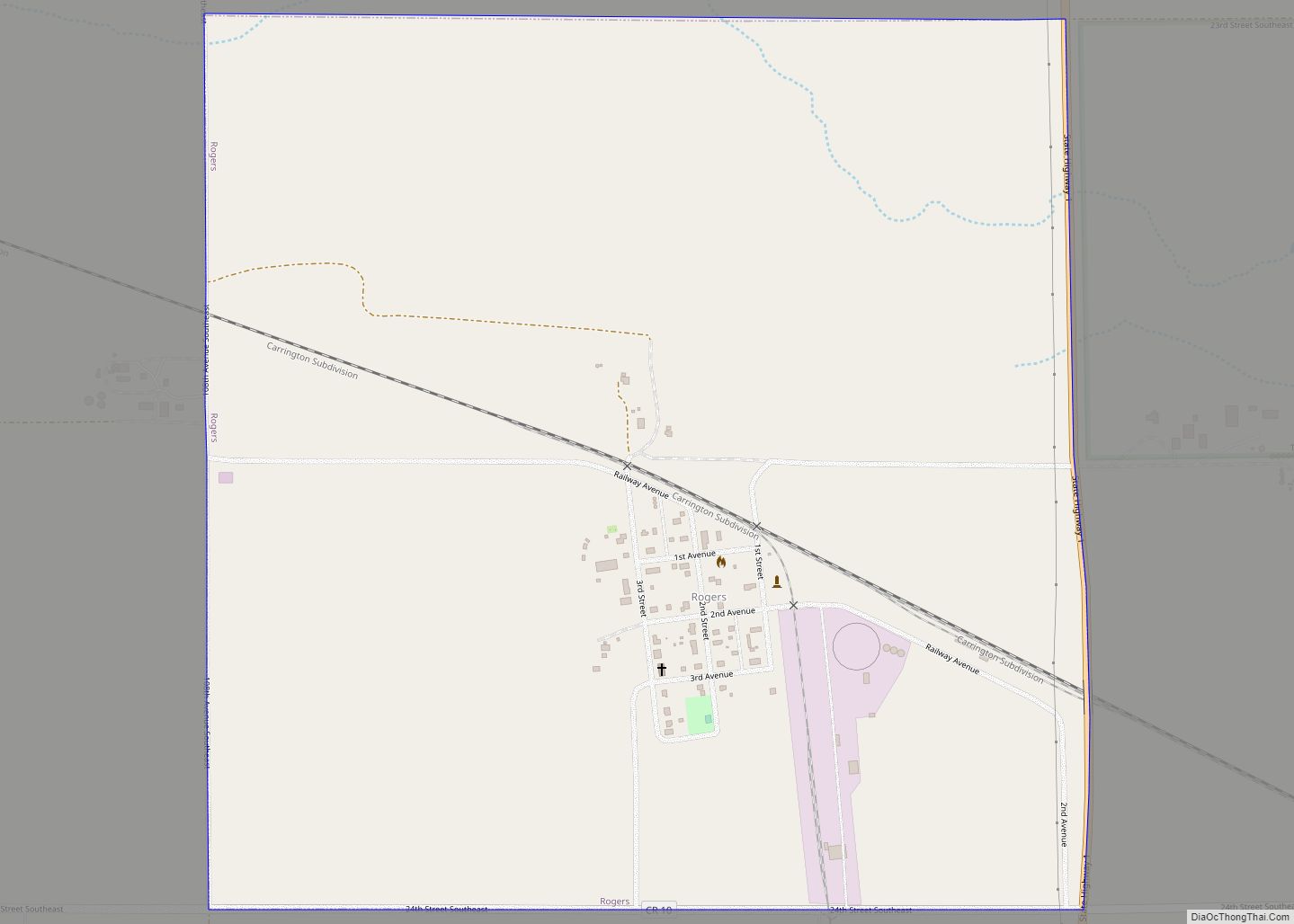
Wimbledon Road Map
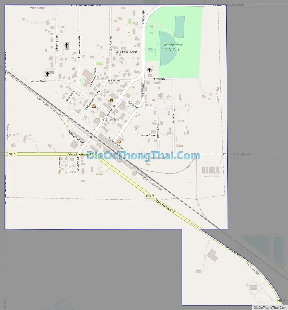
Wimbledon city Satellite Map
Geography
Wimbledon is located at 47°10′14″N 98°27′36″W / 47.17056°N 98.46000°W / 47.17056; -98.46000 (47.170662, -98.459941).
According to the United States Census Bureau, the city has a total area of 0.53 square miles (1.37 km), all land.
The city is in the south-west corner of the township, adjacent to the border with Stutsman County. (In North Dakota, the term township refers to a six-mile square unit of territory, not to a particular settlement.)
No major highways pass through or near Wimbledon, which is just off State Route 9 from Melville to Rogers.
The nearest large settlement (by North Dakota standards) is Jamestown to the south-west, followed by Valley City to the south-east, which is the county seat.
See also
Map of North Dakota State and its subdivision:- Adams
- Barnes
- Benson
- Billings
- Bottineau
- Bowman
- Burke
- Burleigh
- Cass
- Cavalier
- Dickey
- Divide
- Dunn
- Eddy
- Emmons
- Foster
- Golden Valley
- Grand Forks
- Grant
- Griggs
- Hettinger
- Kidder
- Lamoure
- Logan
- McHenry
- McIntosh
- McKenzie
- McLean
- Mercer
- Morton
- Mountrail
- Nelson
- Oliver
- Pembina
- Pierce
- Ramsey
- Ransom
- Renville
- Richland
- Rolette
- Sargent
- Sheridan
- Sioux
- Slope
- Stark
- Steele
- Stutsman
- Towner
- Traill
- Walsh
- Ward
- Wells
- Williams
- Alabama
- Alaska
- Arizona
- Arkansas
- California
- Colorado
- Connecticut
- Delaware
- District of Columbia
- Florida
- Georgia
- Hawaii
- Idaho
- Illinois
- Indiana
- Iowa
- Kansas
- Kentucky
- Louisiana
- Maine
- Maryland
- Massachusetts
- Michigan
- Minnesota
- Mississippi
- Missouri
- Montana
- Nebraska
- Nevada
- New Hampshire
- New Jersey
- New Mexico
- New York
- North Carolina
- North Dakota
- Ohio
- Oklahoma
- Oregon
- Pennsylvania
- Rhode Island
- South Carolina
- South Dakota
- Tennessee
- Texas
- Utah
- Vermont
- Virginia
- Washington
- West Virginia
- Wisconsin
- Wyoming