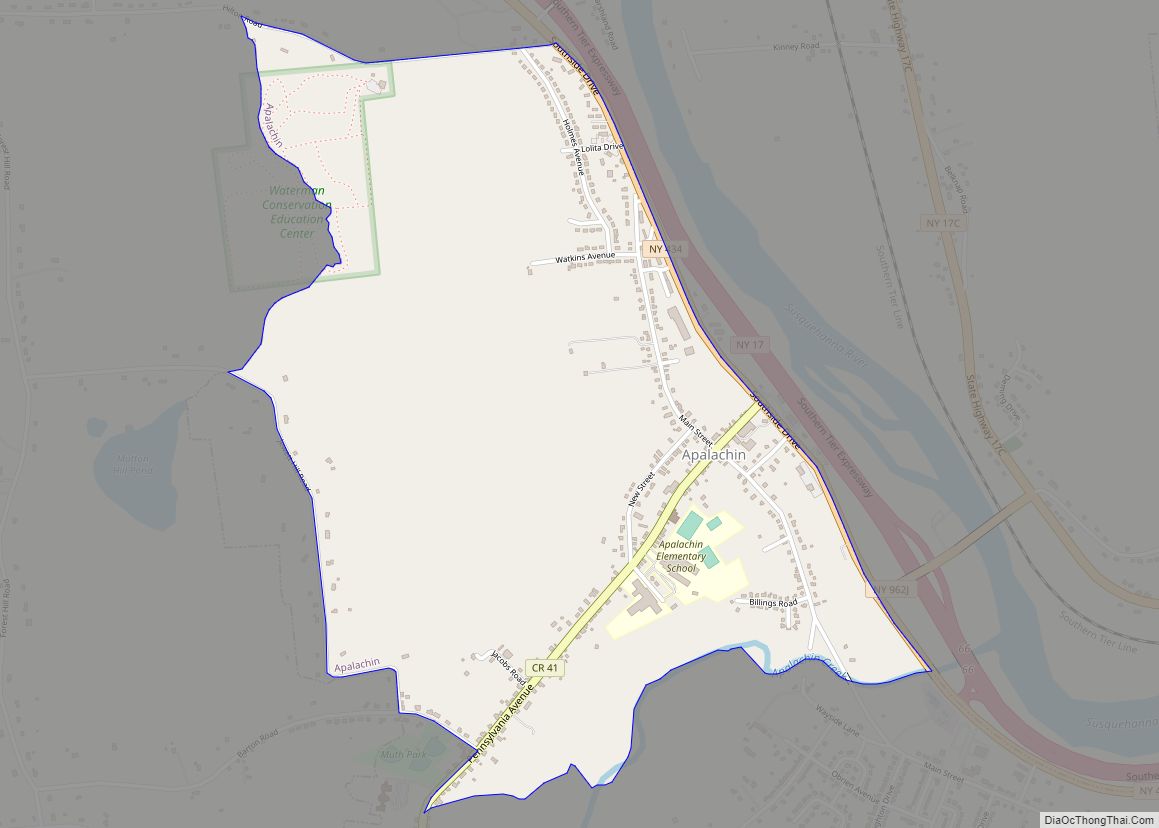
Apalachin (/ˈæpəˈleɪkɪn/ AP-ə-LAY-kin) is a census-designated place within the Town of Owego in Tioga County, New York, United States. The population was 1,131 in the 2010 census. The CDP is named after Apalachin Creek.
Apalachin is in the southeastern section of the Town of Owego and is west of Binghamton. It is also part of the Binghamton Metropolitan Statistical Area.
| Name: | Apalachin CDP |
|---|---|
| LSAD Code: | 57 |
| LSAD Description: | CDP (suffix) |
| State: | New York |
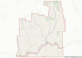
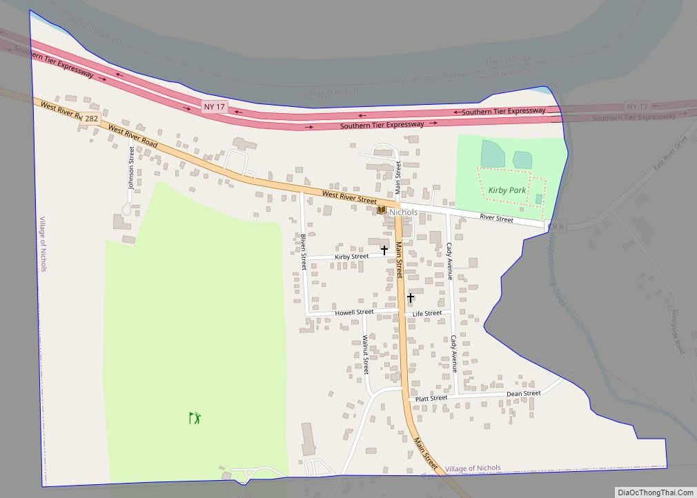
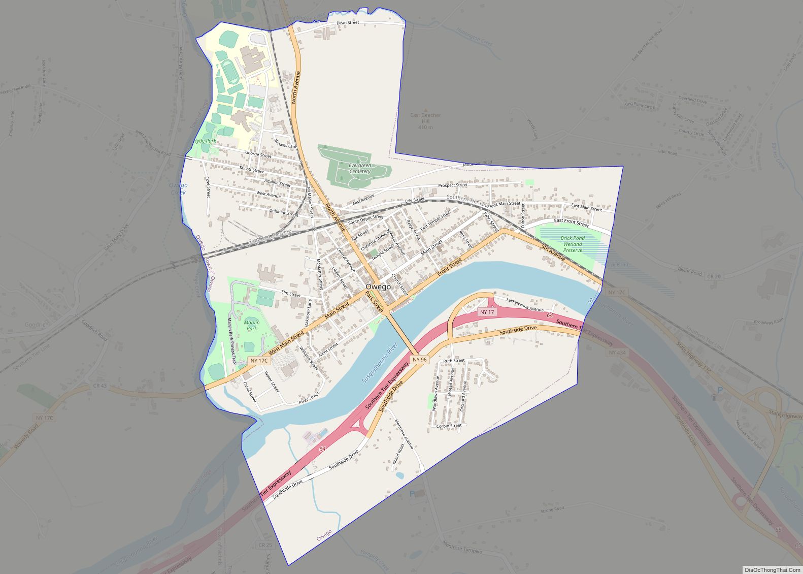
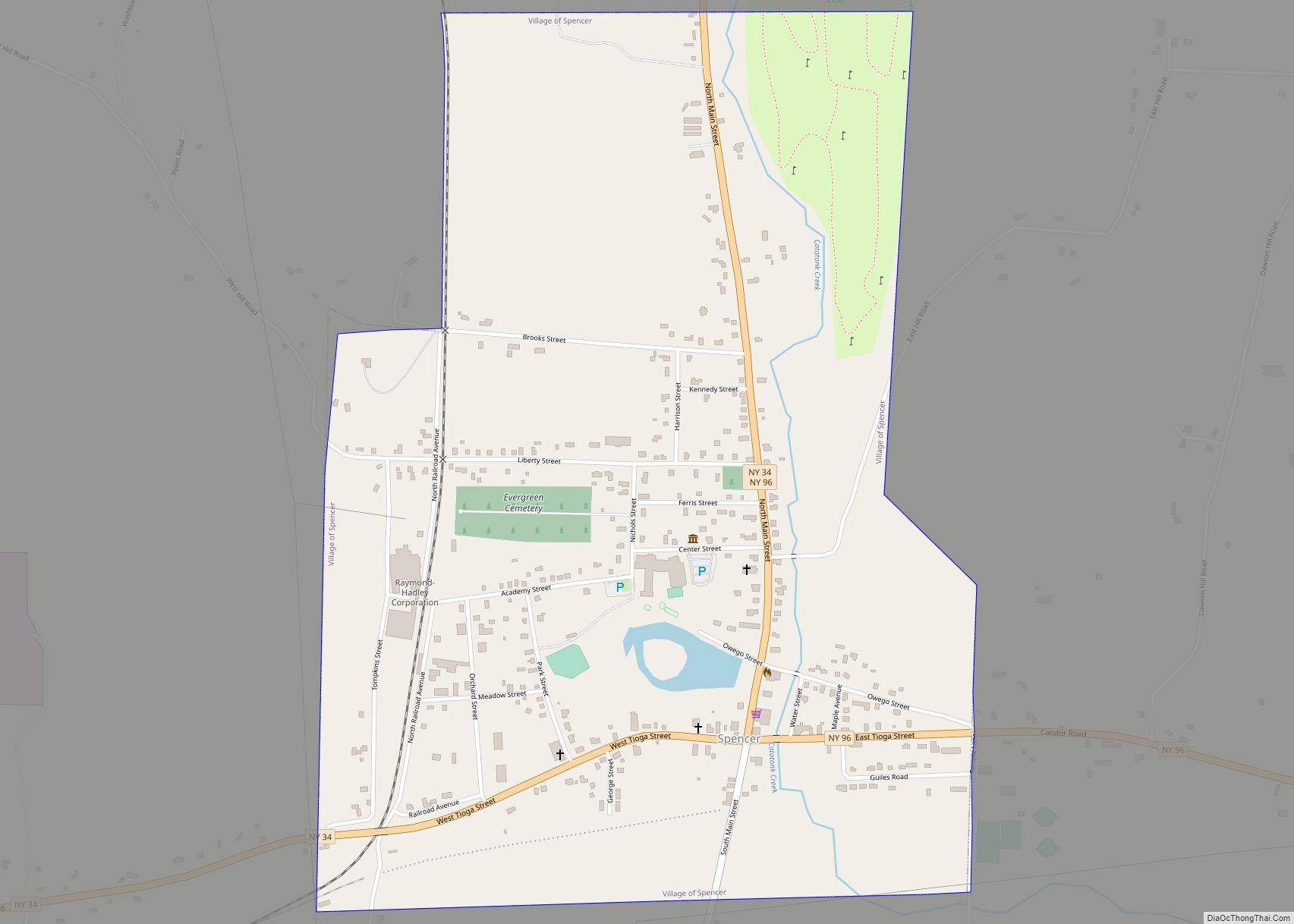
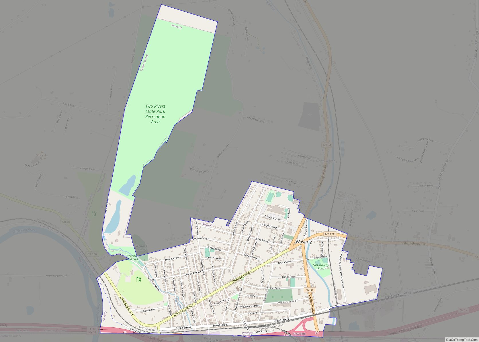
| County: | Tioga County |
| Elevation: | 843 ft (257 m) |
| Total Area: | 2.88 sq mi (7.45 km²) |
| Land Area: | 2.88 sq mi (7.45 km²) |
| Water Area: | 0.00 sq mi (0.00 km²) |
| Total Population: | 2,632 |
| Population Density: | 915.16/sq mi (353.37/km²) |
| ZIP code: | 13732 |
| Area code: | 607 |
| FIPS code: | 3602308 |
| GNISfeature ID: | 0942517 |
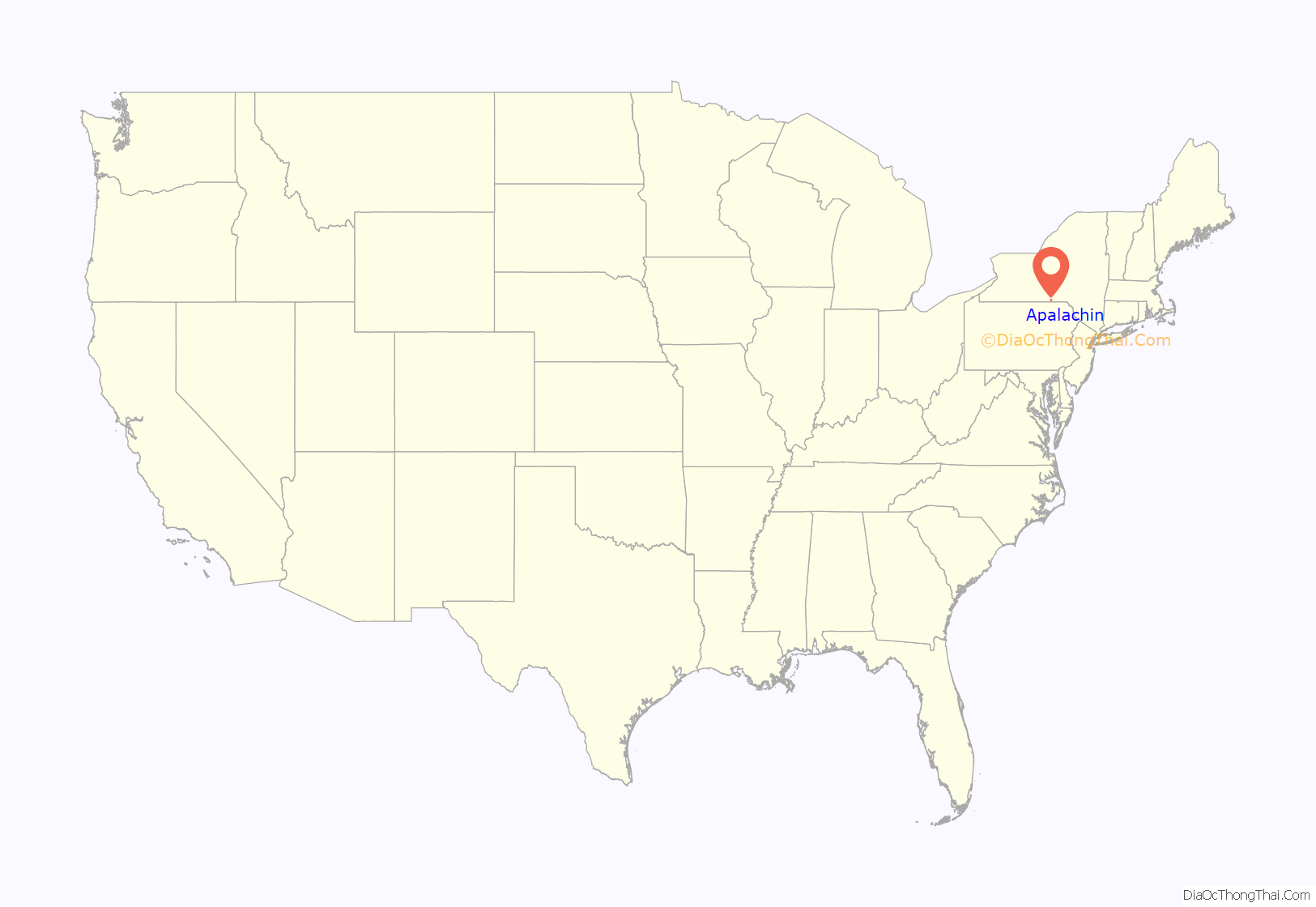
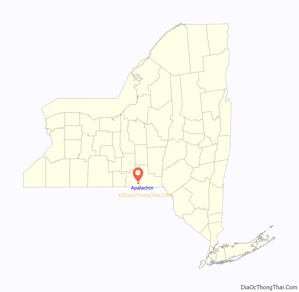
Online Interactive Map
Click on ![]() to view map in "full screen" mode.
to view map in "full screen" mode.
Apalachin location map. Where is Apalachin CDP?
History
The first settler arrived c. 1786, but the community was not founded until 1836.
On November 14, 1957, the heads of the American Mafia held the Apalachin Meeting at the home of Joseph Barbara, an Apalachin resident. The meeting was a conference of mobsters who had gathered to iron out various issues in the underworld. The gathering was quickly broken up when a curious New York State Trooper turned up and spotted expensive cars at or near the home. Other police officers quickly arrived to arrest those attending the conference and sent some of the most powerful gangsters in the country fleeing through the surrounding countryside. Mafiosi and the FBI sometimes just refer to the meeting as Apalachin. This meeting was humorously portrayed in the opening sequence of the 1999 motion picture Analyze This, which starred Robert De Niro and Billy Crystal. This meeting was also fully depicted in the 1972 film The Valachi Papers as well as the 2019 film Mob Town.
Apalachin was host to the annual Apalachin Firemen’s Field Days, which was a four-day carnival, generally held in the first week of June until it was cancelled in 2016. This event was started in 1960 and had grown from a small event in a field to having a permanent location with large pavilions (still called the beer and food tents by locals) and a large square of game booths that surround 15-20 carnival rides. Events included the Little Miss Apalachin contest, fireworks and a large parade.
Riverside Cemetery was listed on the National Register of Historic Places in 2014.
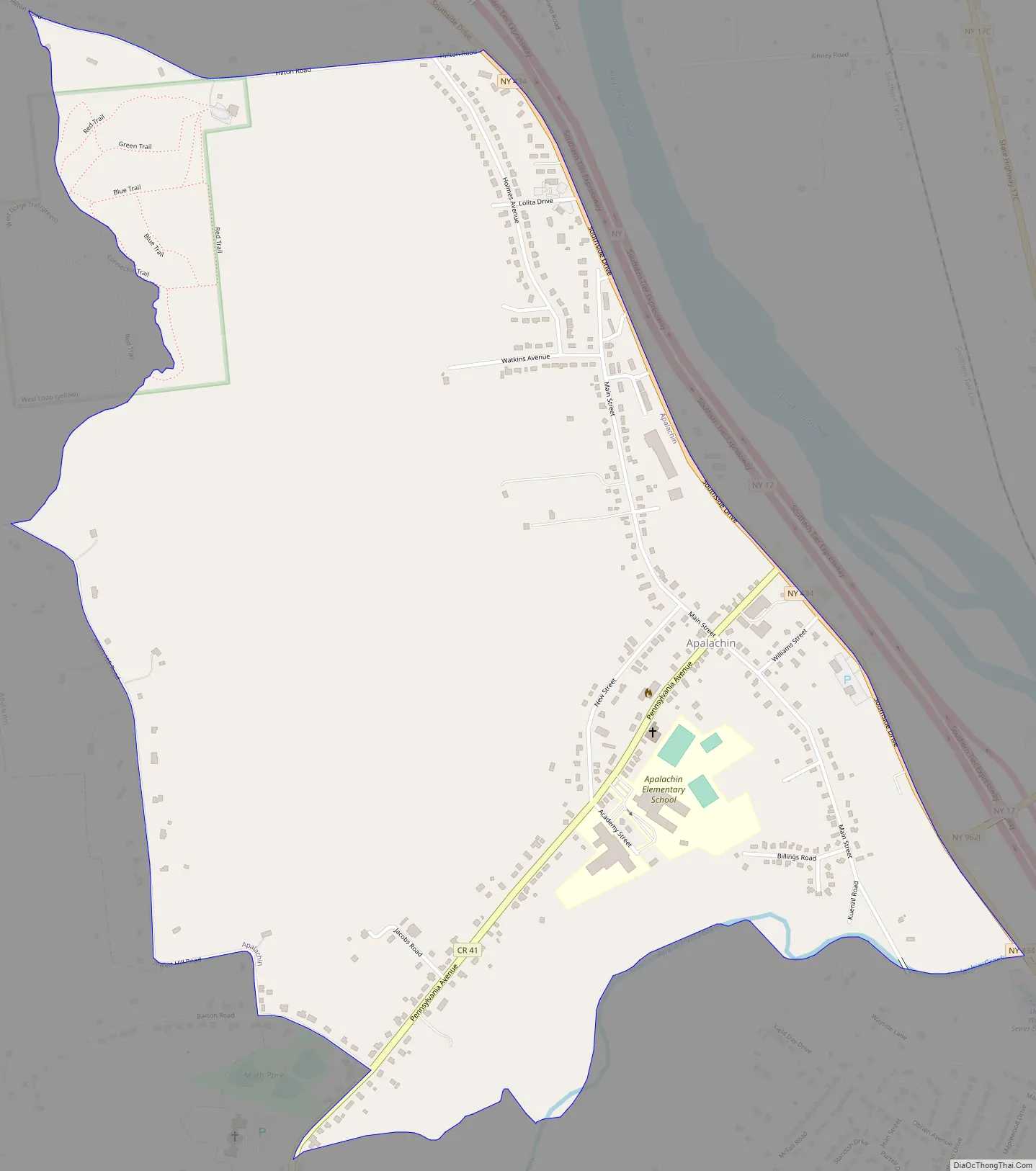
Apalachin Road Map
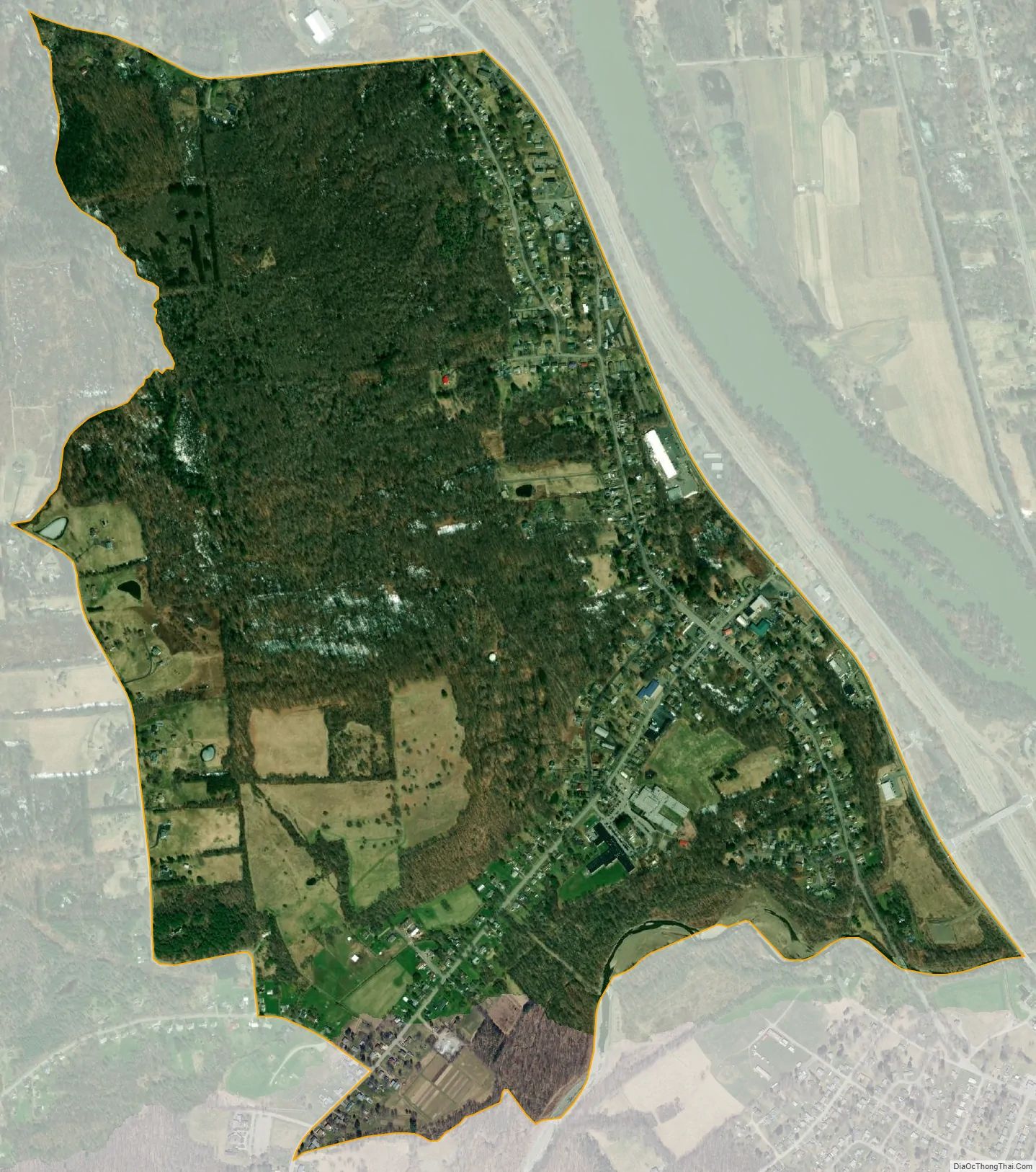
Apalachin city Satellite Map
Geography
Apalachin is located at 42°4′28″N 76°9′23″W / 42.07444°N 76.15639°W / 42.07444; -76.15639.
According to the United States Census Bureau, the region has a total area of 1.5 square miles (3.9 km), all land.
The community is on the south side of the Susquehanna River.
Apalachin is adjacent to the Southern Tier Expressway (New York State Route 17).
See also
Map of New York State and its subdivision:- Albany
- Allegany
- Bronx
- Broome
- Cattaraugus
- Cayuga
- Chautauqua
- Chemung
- Chenango
- Clinton
- Columbia
- Cortland
- Delaware
- Dutchess
- Erie
- Essex
- Franklin
- Fulton
- Genesee
- Greene
- Hamilton
- Herkimer
- Jefferson
- Kings
- Lake Ontario
- Lewis
- Livingston
- Madison
- Monroe
- Montgomery
- Nassau
- New York
- Niagara
- Oneida
- Onondaga
- Ontario
- Orange
- Orleans
- Oswego
- Otsego
- Putnam
- Queens
- Rensselaer
- Richmond
- Rockland
- Saint Lawrence
- Saratoga
- Schenectady
- Schoharie
- Schuyler
- Seneca
- Steuben
- Suffolk
- Sullivan
- Tioga
- Tompkins
- Ulster
- Warren
- Washington
- Wayne
- Westchester
- Wyoming
- Yates
- Alabama
- Alaska
- Arizona
- Arkansas
- California
- Colorado
- Connecticut
- Delaware
- District of Columbia
- Florida
- Georgia
- Hawaii
- Idaho
- Illinois
- Indiana
- Iowa
- Kansas
- Kentucky
- Louisiana
- Maine
- Maryland
- Massachusetts
- Michigan
- Minnesota
- Mississippi
- Missouri
- Montana
- Nebraska
- Nevada
- New Hampshire
- New Jersey
- New Mexico
- New York
- North Carolina
- North Dakota
- Ohio
- Oklahoma
- Oregon
- Pennsylvania
- Rhode Island
- South Carolina
- South Dakota
- Tennessee
- Texas
- Utah
- Vermont
- Virginia
- Washington
- West Virginia
- Wisconsin
- Wyoming