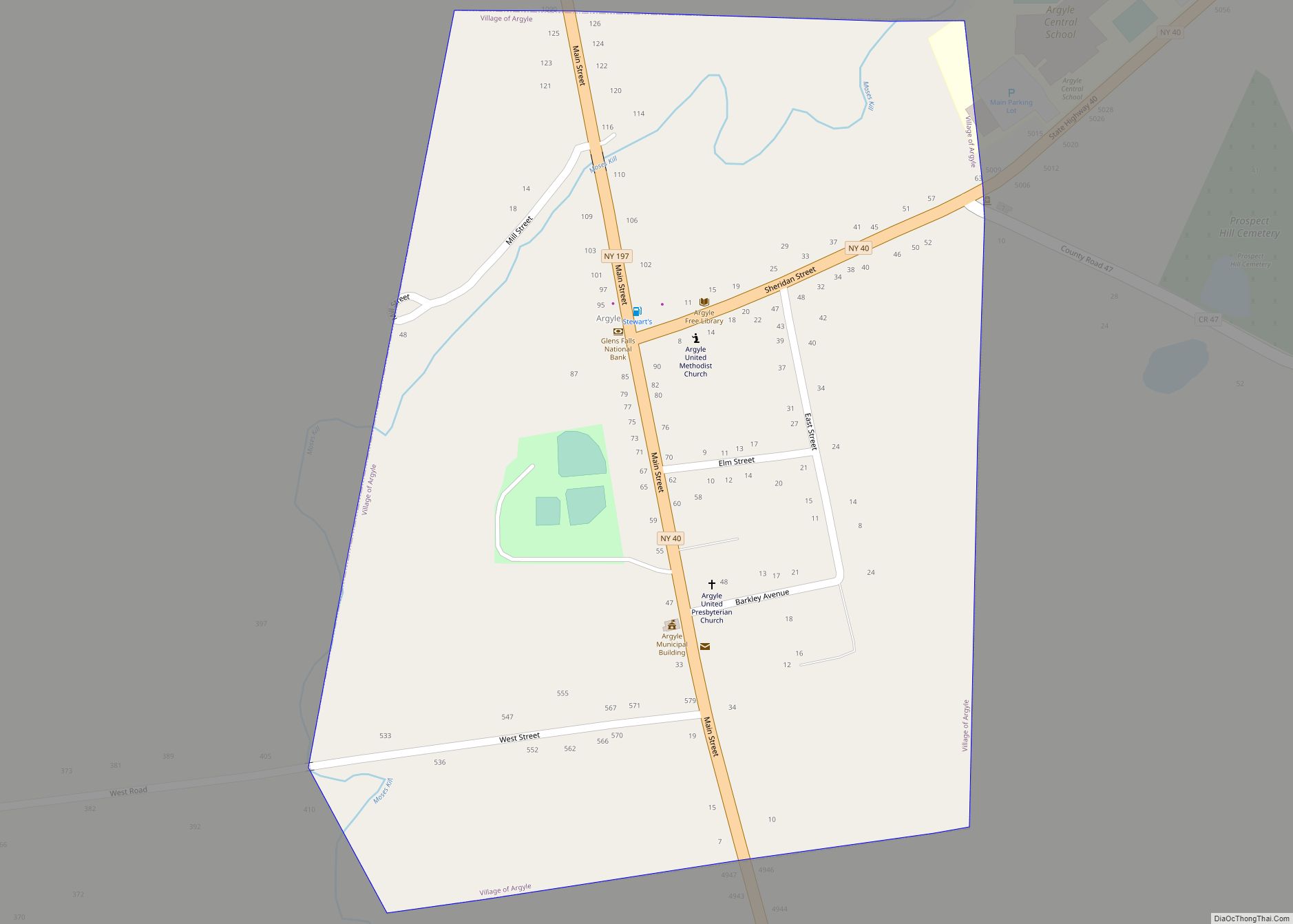
Argyle is a village in the town of Argyle in Washington County, New York, United States. It is part of the Glens Falls Metropolitan Statistical Area. The village population was 306 at the 2010 census. The Village and Town are named after Argyllshire, Scotland (now Argyll and Bute, Scotland). Many of the original settlers came from Scotland and settled here in the mid-1700s. German, Irish, Dutch, and Polish settlers were also attracted to this area. The 1800s found Argyle residents active in the Underground Railroad and abolitionist movement. The Moses Kill provided waterpower for mills in the village. The early 1900s brought a library and running water to residents, who proudly served their country in times of war. Today, the village is considered home by the descendants of these folks and newcomers alike.
Some notable community events include a Memorial Day parade led by Argyle American Legion Post 1518, an annual 4 July parade and chicken barbeque hosted by the Argyle Fire-Rescue Department, an Argyle Methodist Church Election Dinner, a Thanksgiving Holiday meal provided by F.E.A.S.T (Friends Ensuring A Super Thanksgiving) for those wishing to enjoy a traditional thanksgiving meal, a book fair by the Argyle Free Library on July 4, the Carl Lufkin Memorial Pull for the Cure – a Garden Tractor and 4WD truck pull in July which raises money for several charities helping in the fight against cancer, a haunted house on weekends in October at the Ransom Stiles house, and a town-wide garage sale over the Columbus Day Holiday.
On 18 September 2021, Argyle honored its Scottish heritage with a Thistle (national flower of Scotland) Day community celebration after a nearly 100-year hiatus. A parade, chicken and pork barbeques, craft and farmers markets, a concert, and fireworks were part of the day’s events.
| Name: | Argyle village |
|---|---|
| LSAD Code: | 47 |
| LSAD Description: | village (suffix) |
| State: | New York |
| County: | Washington County |
| Elevation: | 285 ft (87 m) |
| Total Area: | 0.32 sq mi (0.82 km²) |
| Land Area: | 0.32 sq mi (0.82 km²) |
| Water Area: | 0.00 sq mi (0.00 km²) |
| Total Population: | 289 |
| Population Density: | 911.67/sq mi (352.29/km²) |
| ZIP code: | 12809 |
| Area code: | 518 838 |
| FIPS code: | 3602550 |
| GNISfeature ID: | 0942550 |
| Website: | www.argyle-village.org |
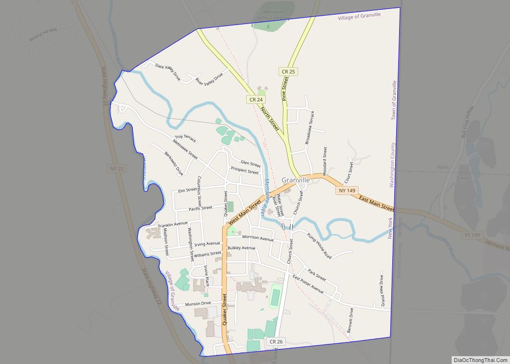
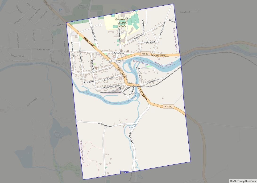
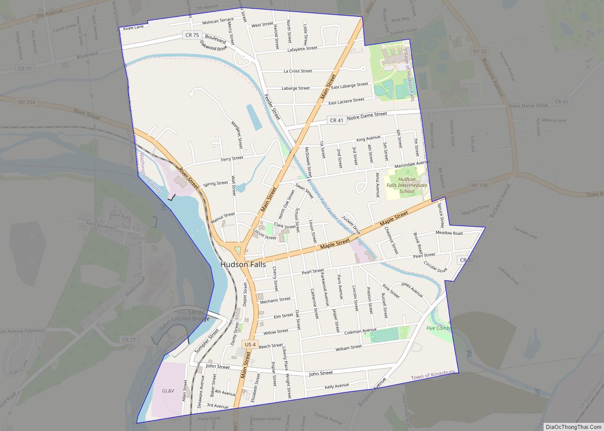
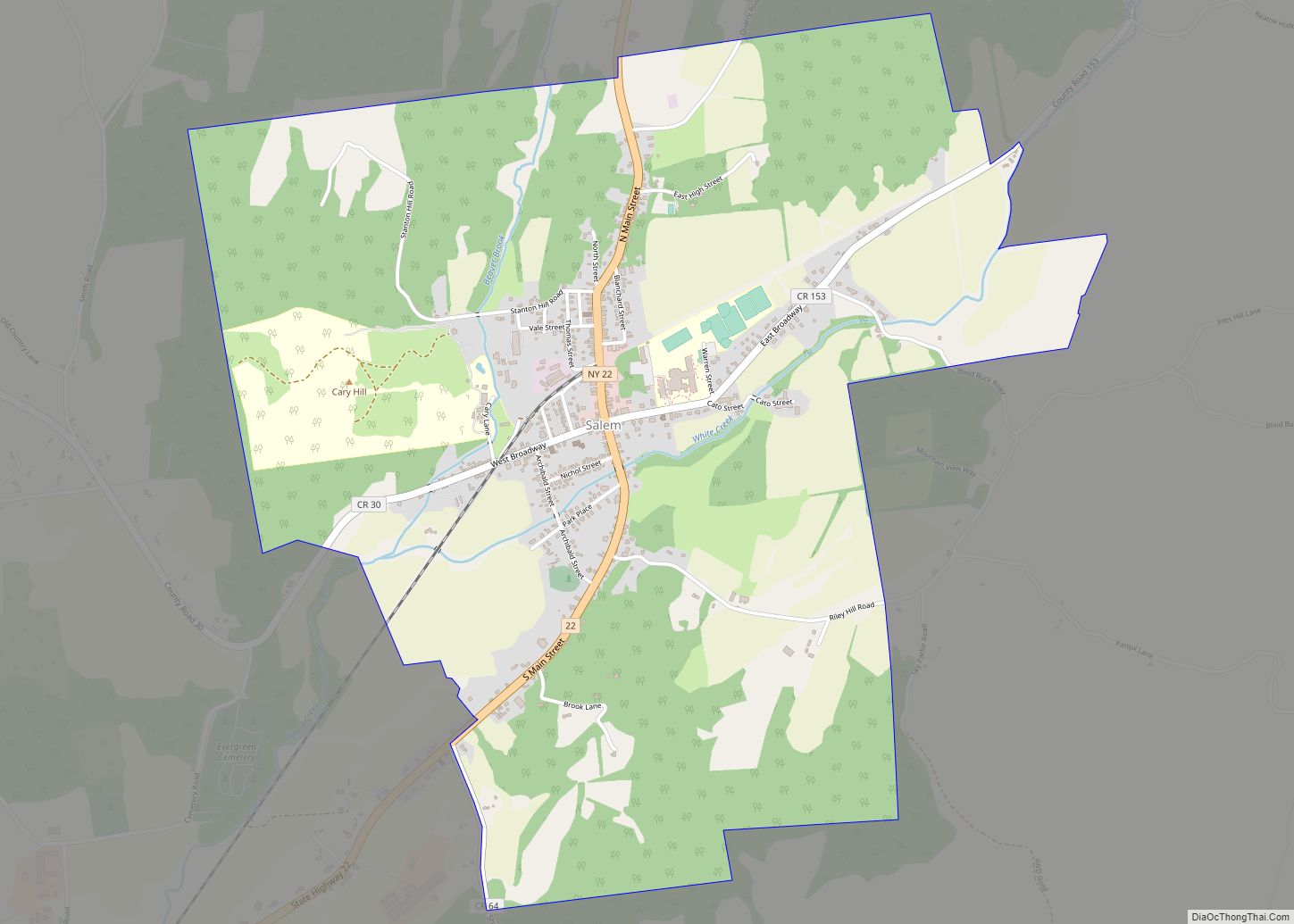
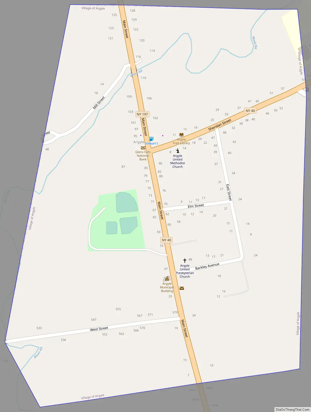
Online Interactive Map
Click on ![]() to view map in "full screen" mode.
to view map in "full screen" mode.
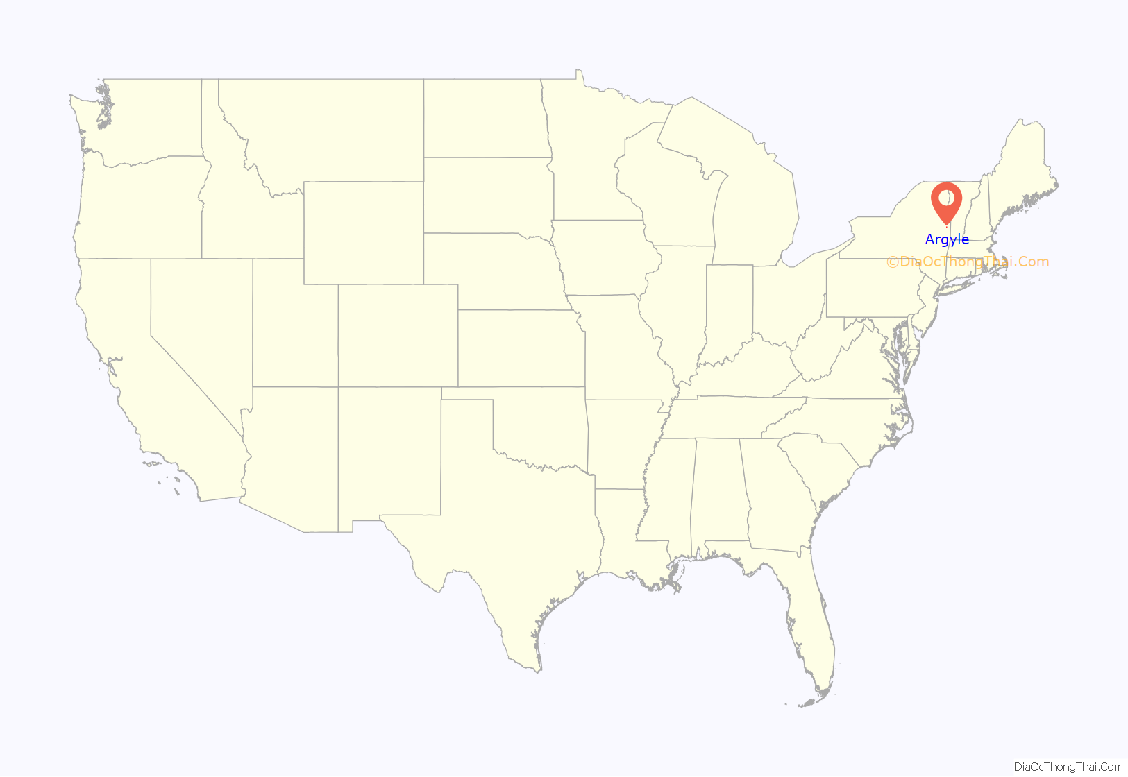
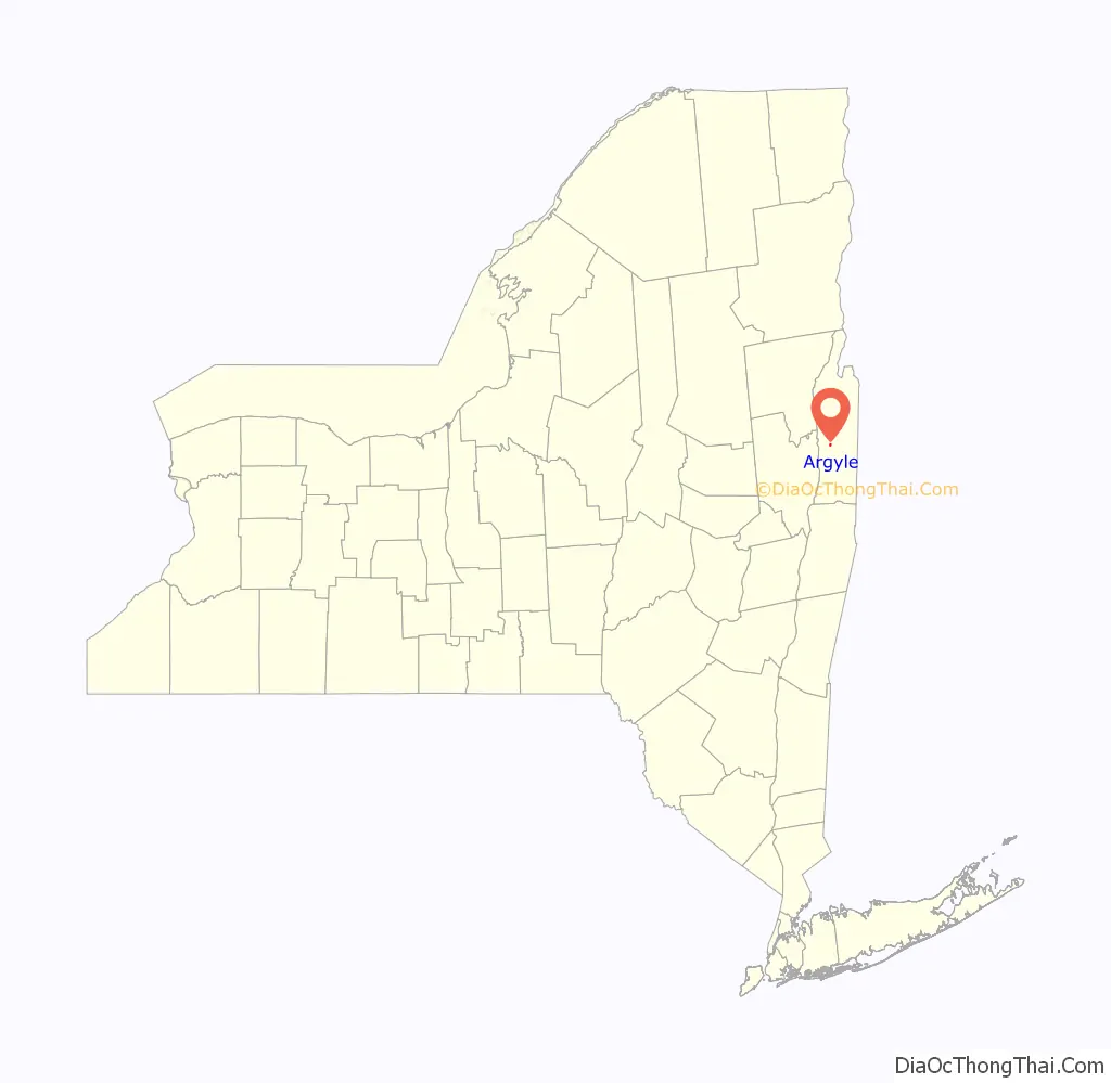
Argyle location map. Where is Argyle village?
History
The village was eventually formed from lands designated in the Argyle Patent of 21 May 1764, located in Albany County within the British Colonial Province of New York. After the American Revolutionary War Argyle was part of Washington County which had been renamed to honor American General George Washington in the newly established State of New York. The village developed slower than the town of Argyle and was officially established on 27 March 1838. From 1806 to 1906, the Washington County Clerk’s Office, because of Argyle’s central location in the county, resided within the Village. From 1870 to 1906 the Clerk’s Office was located in the brick building now occupied by the Argyle branch of Glens Falls National Bank.
Argyle Road Map
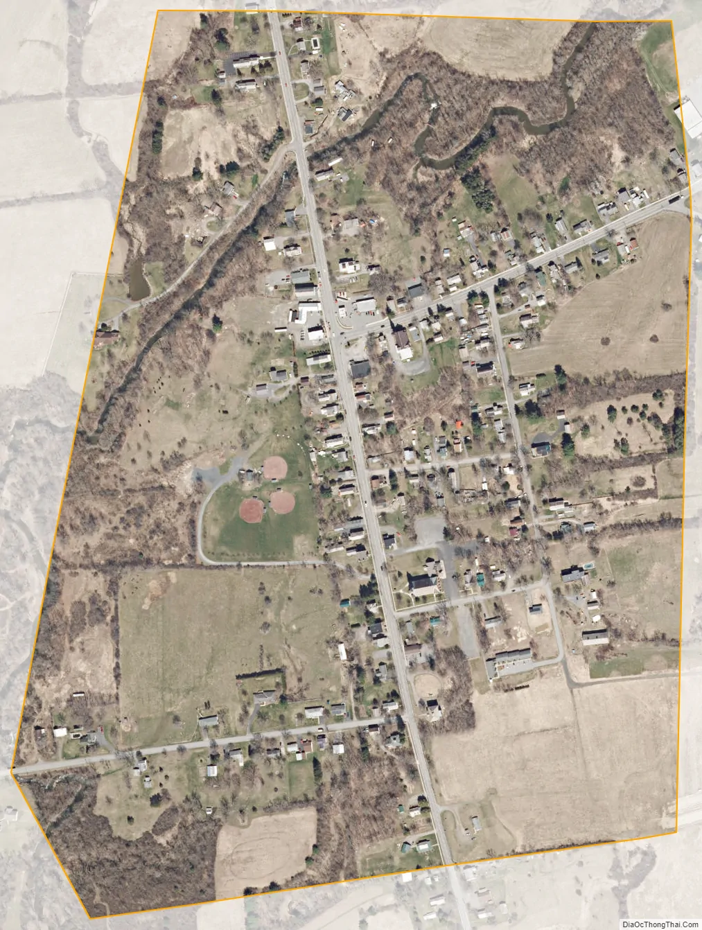
Argyle city Satellite Map
Geography
According to the United States Census Bureau, the village has a total area of 0.4 square miles (1.0 km), all land.
Argyle is located on NY Route 40; a north–south state highway which runs through both the town and village of Argyle. NY Route 197, an east–west state highway, crosses the Hudson River at nearby Fort Edward and ends in the village at a junction with NY Route 40. The Moses Kill, a stream where early settlers built small mills, flows through the village crossing underneath NY Route 197 before eventually emptying into the Hudson River, south of Fort Edward.
See also
Map of New York State and its subdivision:- Albany
- Allegany
- Bronx
- Broome
- Cattaraugus
- Cayuga
- Chautauqua
- Chemung
- Chenango
- Clinton
- Columbia
- Cortland
- Delaware
- Dutchess
- Erie
- Essex
- Franklin
- Fulton
- Genesee
- Greene
- Hamilton
- Herkimer
- Jefferson
- Kings
- Lake Ontario
- Lewis
- Livingston
- Madison
- Monroe
- Montgomery
- Nassau
- New York
- Niagara
- Oneida
- Onondaga
- Ontario
- Orange
- Orleans
- Oswego
- Otsego
- Putnam
- Queens
- Rensselaer
- Richmond
- Rockland
- Saint Lawrence
- Saratoga
- Schenectady
- Schoharie
- Schuyler
- Seneca
- Steuben
- Suffolk
- Sullivan
- Tioga
- Tompkins
- Ulster
- Warren
- Washington
- Wayne
- Westchester
- Wyoming
- Yates
- Alabama
- Alaska
- Arizona
- Arkansas
- California
- Colorado
- Connecticut
- Delaware
- District of Columbia
- Florida
- Georgia
- Hawaii
- Idaho
- Illinois
- Indiana
- Iowa
- Kansas
- Kentucky
- Louisiana
- Maine
- Maryland
- Massachusetts
- Michigan
- Minnesota
- Mississippi
- Missouri
- Montana
- Nebraska
- Nevada
- New Hampshire
- New Jersey
- New Mexico
- New York
- North Carolina
- North Dakota
- Ohio
- Oklahoma
- Oregon
- Pennsylvania
- Rhode Island
- South Carolina
- South Dakota
- Tennessee
- Texas
- Utah
- Vermont
- Virginia
- Washington
- West Virginia
- Wisconsin
- Wyoming