Whitehall is a village located in the town of Whitehall in Washington County, New York, United States. It is part of the Glens Falls Metropolitan Statistical Area. The village population was 2,614 in 2010.
The village of Whitehall is located at the point where the Vermont border connects to the southern end of Lake Champlain.
| Name: | Whitehall village |
|---|---|
| LSAD Code: | 47 |
| LSAD Description: | village (suffix) |
| State: | New York |
| County: | Washington County |
| Elevation: | 157 ft (48 m) |
| Total Area: | 6.79 sq mi (17.59 km²) |
| Land Area: | 5.64 sq mi (14.61 km²) |
| Water Area: | 1.15 sq mi (2.98 km²) |
| Total Population: | 2,465 |
| Population Density: | 437.13/sq mi (168.76/km²) |
| ZIP code: | 12887 |
| Area code: | 518 |
| FIPS code: | 3681622 |
| GNISfeature ID: | 0971145 |
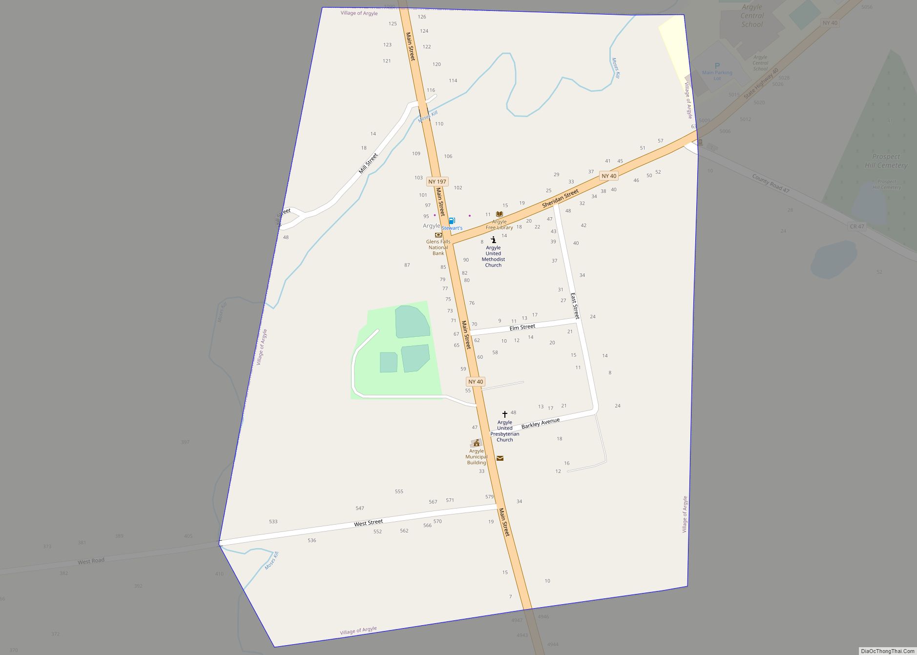
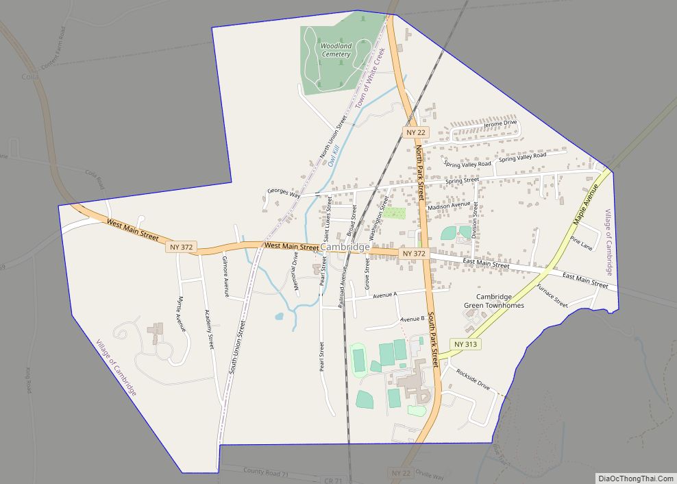
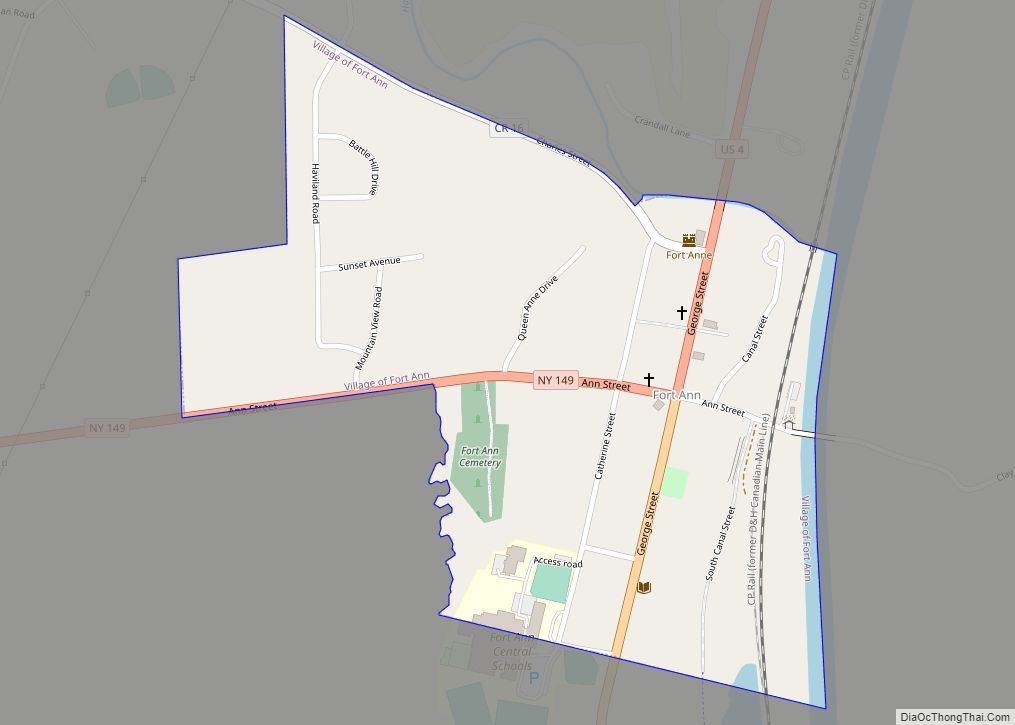
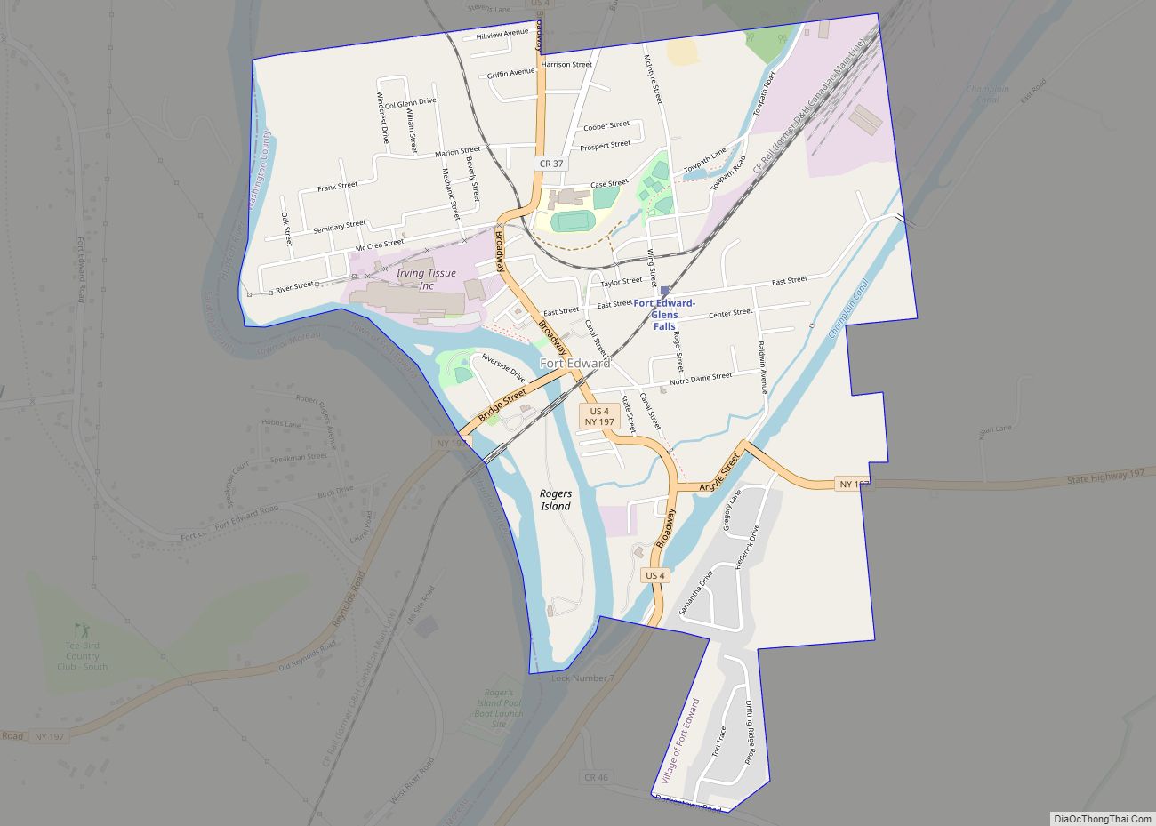
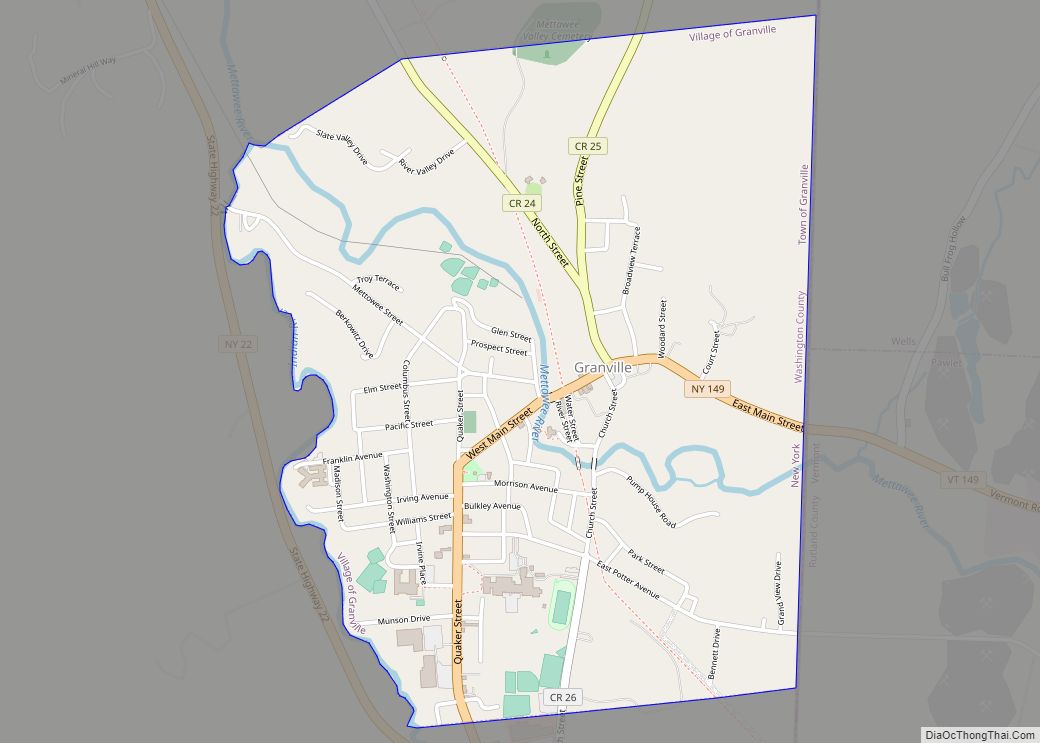
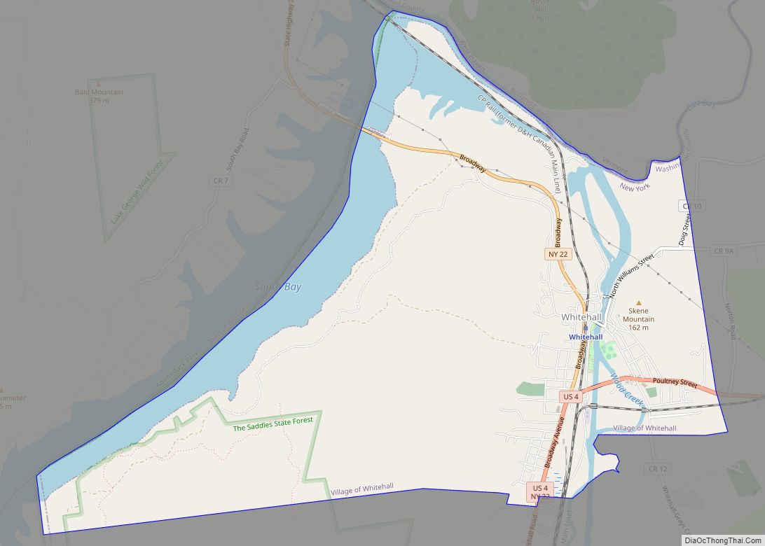
Online Interactive Map
Click on ![]() to view map in "full screen" mode.
to view map in "full screen" mode.
Whitehall location map. Where is Whitehall village?
History
The village was founded in 1759 as “Skenesborough” by Major Philip Skene, who built the barracks at Crown Point under Gen. Jeffrey Amherst. He sold out his commission in the British army to establish the community and the many associated enterprises he planned and later carried out. It was the first settlement at Lake Champlain and became an important trade center. It was on one of two routes between English and French colonies.
On May 9, 1775, Lieutenant Samuel Herrick, leading as an advance party for Benedict Arnold’s and Ethan Allen’s attack on Fort Ticonderoga, surprised Major Skene and his small garrison. While he intended to use Skene’s boats to ferry men across the lake, his party did not arrive in time. Skene’s schooner was used later to capture St. John’s.
In 1776, General Philip Schuyler built a small fleet of ships here. They were used by Benedict Arnold in the Battle of Valcour Island in October. The event led to Whitehall’s modern-day claim to be the birthplace of the United States Navy. The surviving vessels returned to be destroyed to prevent their capture. General John Burgoyne led his forces southward through this area during the Saratoga Campaign.
The escaped murderer Jason Fairbanks was captured here in 1802 and returned to Dedham, Massachusetts to hang.
During the War of 1812, the village was a shipbuilding community, supplying vessels for naval battles on Lake Champlain.
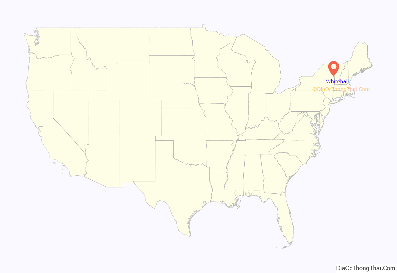
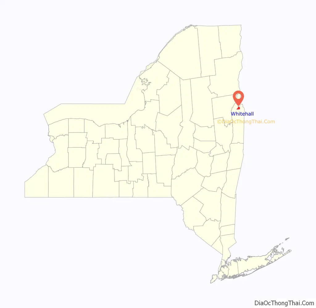
Whitehall Road Map

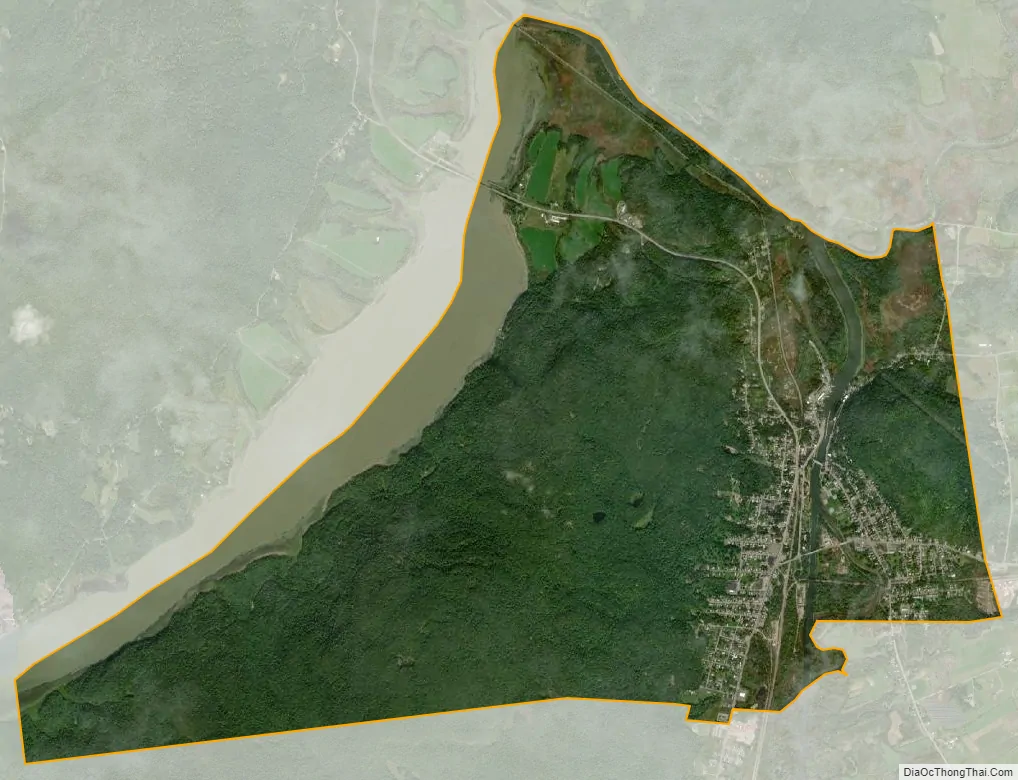
Whitehall city Satellite Map
Geography
According to the United States Census Bureau, the village has a total area of 4.8 square miles (12.5 km), of which 4.7 square miles (12.1 km) is land and 0.1 square mile (0.3 km) (2.70%) is water.
U.S. Route 4 and NY Route 22 diverge at the village. Whitehall village is the northern end of the Champlain Canal, which connects the Hudson River to Lake Champlain.
See also
Map of New York State and its subdivision:- Albany
- Allegany
- Bronx
- Broome
- Cattaraugus
- Cayuga
- Chautauqua
- Chemung
- Chenango
- Clinton
- Columbia
- Cortland
- Delaware
- Dutchess
- Erie
- Essex
- Franklin
- Fulton
- Genesee
- Greene
- Hamilton
- Herkimer
- Jefferson
- Kings
- Lake Ontario
- Lewis
- Livingston
- Madison
- Monroe
- Montgomery
- Nassau
- New York
- Niagara
- Oneida
- Onondaga
- Ontario
- Orange
- Orleans
- Oswego
- Otsego
- Putnam
- Queens
- Rensselaer
- Richmond
- Rockland
- Saint Lawrence
- Saratoga
- Schenectady
- Schoharie
- Schuyler
- Seneca
- Steuben
- Suffolk
- Sullivan
- Tioga
- Tompkins
- Ulster
- Warren
- Washington
- Wayne
- Westchester
- Wyoming
- Yates
- Alabama
- Alaska
- Arizona
- Arkansas
- California
- Colorado
- Connecticut
- Delaware
- District of Columbia
- Florida
- Georgia
- Hawaii
- Idaho
- Illinois
- Indiana
- Iowa
- Kansas
- Kentucky
- Louisiana
- Maine
- Maryland
- Massachusetts
- Michigan
- Minnesota
- Mississippi
- Missouri
- Montana
- Nebraska
- Nevada
- New Hampshire
- New Jersey
- New Mexico
- New York
- North Carolina
- North Dakota
- Ohio
- Oklahoma
- Oregon
- Pennsylvania
- Rhode Island
- South Carolina
- South Dakota
- Tennessee
- Texas
- Utah
- Vermont
- Virginia
- Washington
- West Virginia
- Wisconsin
- Wyoming