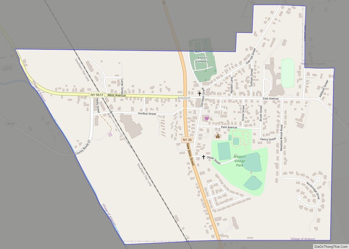
Arkport is a village in Steuben County, New York, United States. The population was 844 at the 2010 census. The name comes from the barges used to ship products through the village. The postal code is 14807.
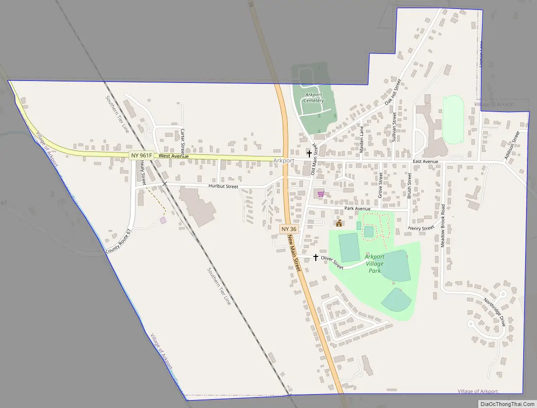
The Village of Arkport is in the Town of Hornellsville and is north of the City of Hornell.
Hornell Municipal Airport (HTF) is immediately south of the village.
| Name: | Arkport village |
|---|---|
| LSAD Code: | 47 |
| LSAD Description: | village (suffix) |
| State: | New York |
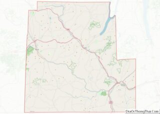
| County: | Steuben County |
| Elevation: | 1,184 ft (361 m) |
| Total Area: | 0.69 sq mi (1.80 km²) |
| Land Area: | 0.69 sq mi (1.80 km²) |
| Water Area: | 0.00 sq mi (0.00 km²) |
| Total Population: | 745 |
| Population Density: | 1,073.49/sq mi (414.31/km²) |
| ZIP code: | 14807 |
| Area code: | 607 |
| FIPS code: | 3602583 |
| GNISfeature ID: | 0942554 |
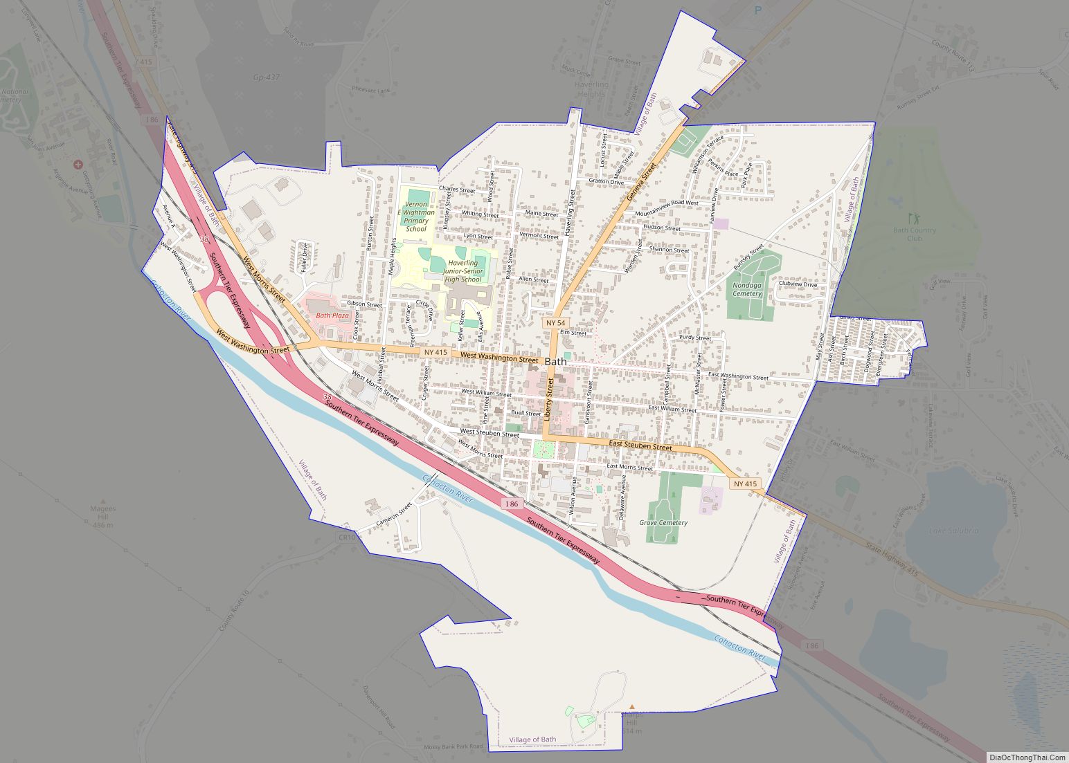
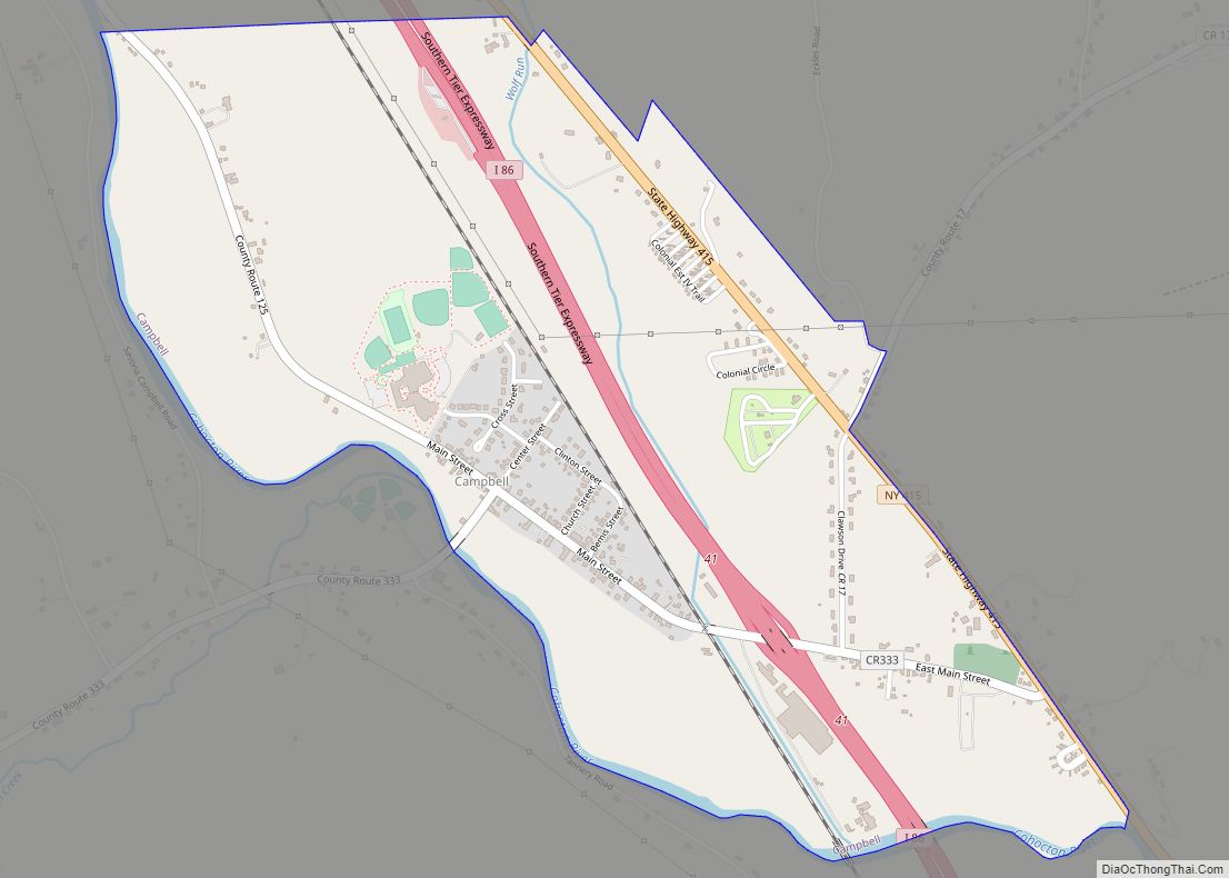
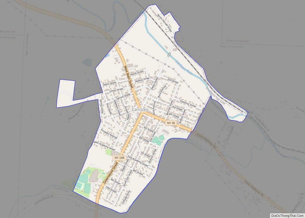
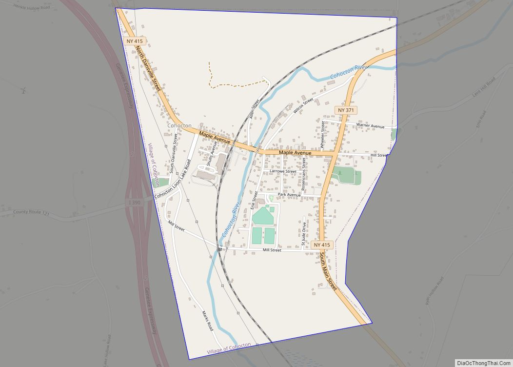
Online Interactive Map
Click on ![]() to view map in "full screen" mode.
to view map in "full screen" mode.
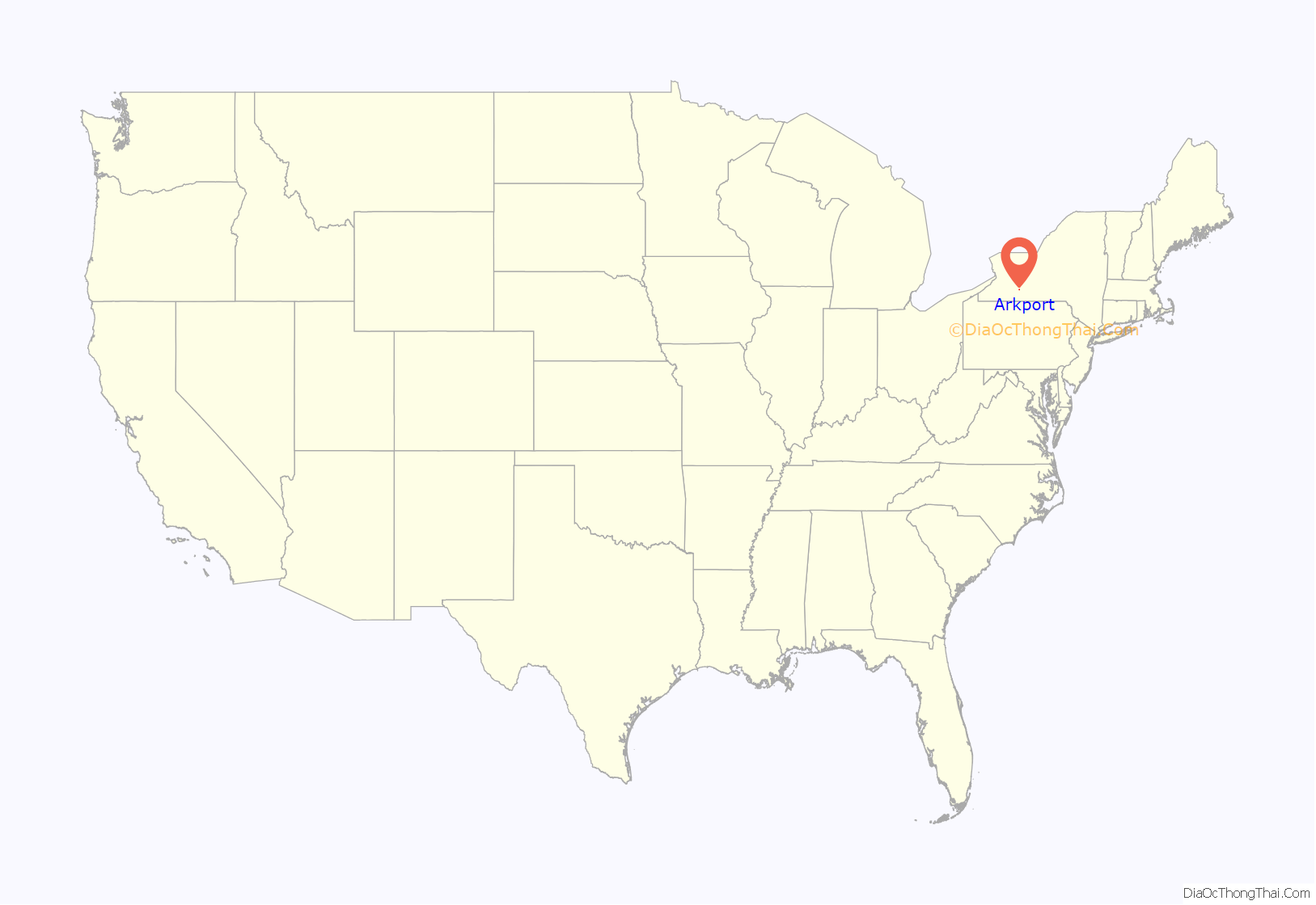
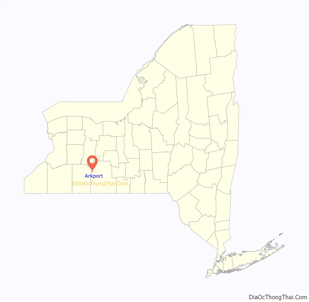
Arkport location map. Where is Arkport village?
History
Arkport was founded in 1797 by Christopher Hurlbut. The Canisteo River was used to ship crops, livestock, and timber to Baltimore using arks. The navigable portion of the river ended in Arkport; thus the name of ark-port. This practice of using arks as cargo vessels continued until 1825, when the Erie Canal was built and it became more cost-effective to ship crops via the canal. The existing Post Office was built in 1890.
Arkport Road Map
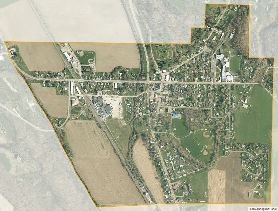
Arkport city Satellite Map
Geography
Arkport is located at 42°23′36″N 77°41′46″W / 42.39333°N 77.69611°W / 42.39333; -77.69611 (42.393347, -77.696134).
According to the United States Census Bureau, the village has a total area of 0.7 square miles (1.8 km), all land.
The village is on the eastern bank of the Canisteo River.
New York State Route 36 passes from north to south through the village. The Southern Tier Expressway lies between the village and Hornell. County Roads 48 and 67 lead into the village.
See also
Map of New York State and its subdivision:- Albany
- Allegany
- Bronx
- Broome
- Cattaraugus
- Cayuga
- Chautauqua
- Chemung
- Chenango
- Clinton
- Columbia
- Cortland
- Delaware
- Dutchess
- Erie
- Essex
- Franklin
- Fulton
- Genesee
- Greene
- Hamilton
- Herkimer
- Jefferson
- Kings
- Lake Ontario
- Lewis
- Livingston
- Madison
- Monroe
- Montgomery
- Nassau
- New York
- Niagara
- Oneida
- Onondaga
- Ontario
- Orange
- Orleans
- Oswego
- Otsego
- Putnam
- Queens
- Rensselaer
- Richmond
- Rockland
- Saint Lawrence
- Saratoga
- Schenectady
- Schoharie
- Schuyler
- Seneca
- Steuben
- Suffolk
- Sullivan
- Tioga
- Tompkins
- Ulster
- Warren
- Washington
- Wayne
- Westchester
- Wyoming
- Yates
- Alabama
- Alaska
- Arizona
- Arkansas
- California
- Colorado
- Connecticut
- Delaware
- District of Columbia
- Florida
- Georgia
- Hawaii
- Idaho
- Illinois
- Indiana
- Iowa
- Kansas
- Kentucky
- Louisiana
- Maine
- Maryland
- Massachusetts
- Michigan
- Minnesota
- Mississippi
- Missouri
- Montana
- Nebraska
- Nevada
- New Hampshire
- New Jersey
- New Mexico
- New York
- North Carolina
- North Dakota
- Ohio
- Oklahoma
- Oregon
- Pennsylvania
- Rhode Island
- South Carolina
- South Dakota
- Tennessee
- Texas
- Utah
- Vermont
- Virginia
- Washington
- West Virginia
- Wisconsin
- Wyoming