Johnson City is a village in Broome County, New York, United States. The population was 15,174 at the 2010 census. It is part of the Binghamton Metropolitan Statistical Area.
The village of Johnson City is in the town of Union and is a part of the “Triple Cities” along with Endicott and Binghamton. Johnson City lies to the west of Binghamton on the eastern side of the town of Union.
| Name: | Johnson City village |
|---|---|
| LSAD Code: | 47 |
| LSAD Description: | village (suffix) |
| State: | New York |
| County: | Broome County |
| Incorporated: | 1892; 131 years ago (1892) (village of Lestershire) |
| Elevation: | 873 ft (266 m) |
| Total Area: | 4.67 sq mi (12.09 km²) |
| Land Area: | 4.55 sq mi (11.79 km²) |
| Water Area: | 0.12 sq mi (0.30 km²) |
| Total Population: | 15,343 |
| Population Density: | 3,370.61/sq mi (1,301.41/km²) |
| ZIP code: | 13790 |
| Area code: | 607 |
| FIPS code: | 3638748 |
| GNISfeature ID: | 0954109 |
| Website: | www.villageofjc.com |
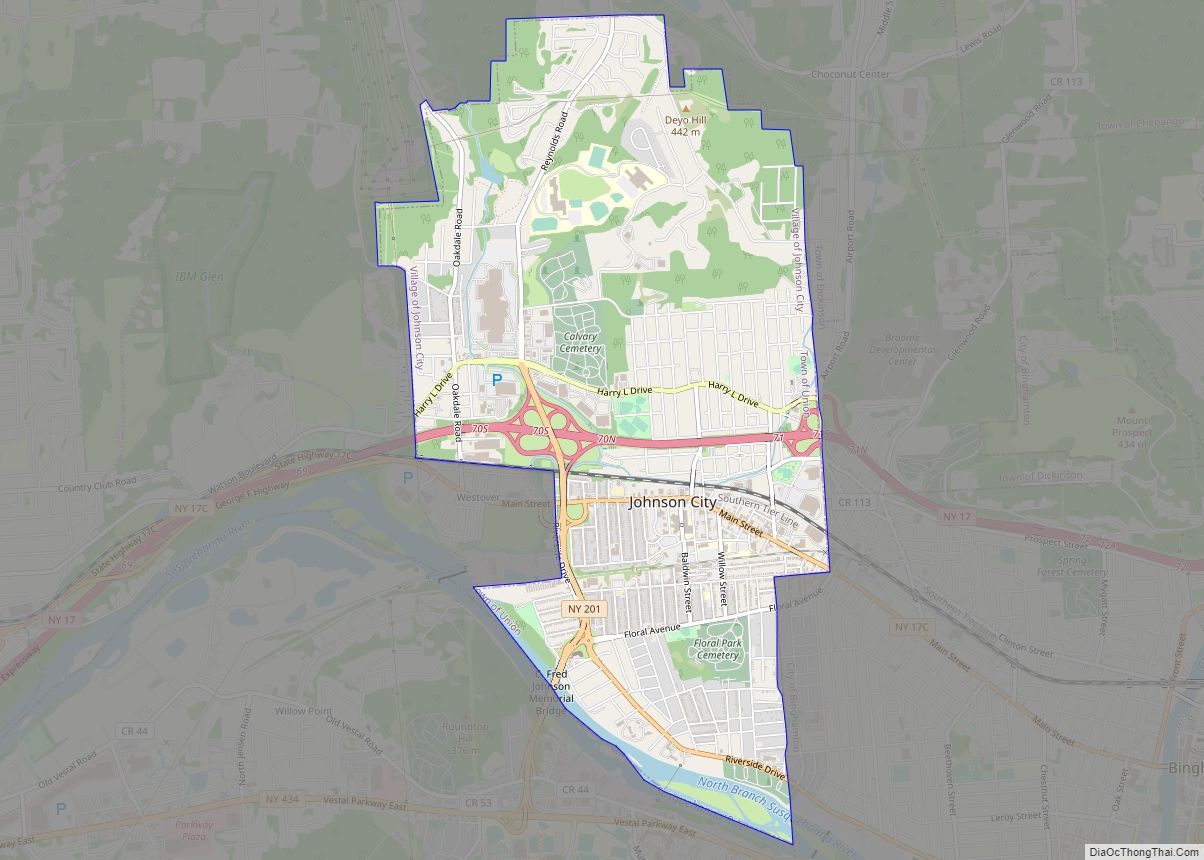
Online Interactive Map
Click on ![]() to view map in "full screen" mode.
to view map in "full screen" mode.
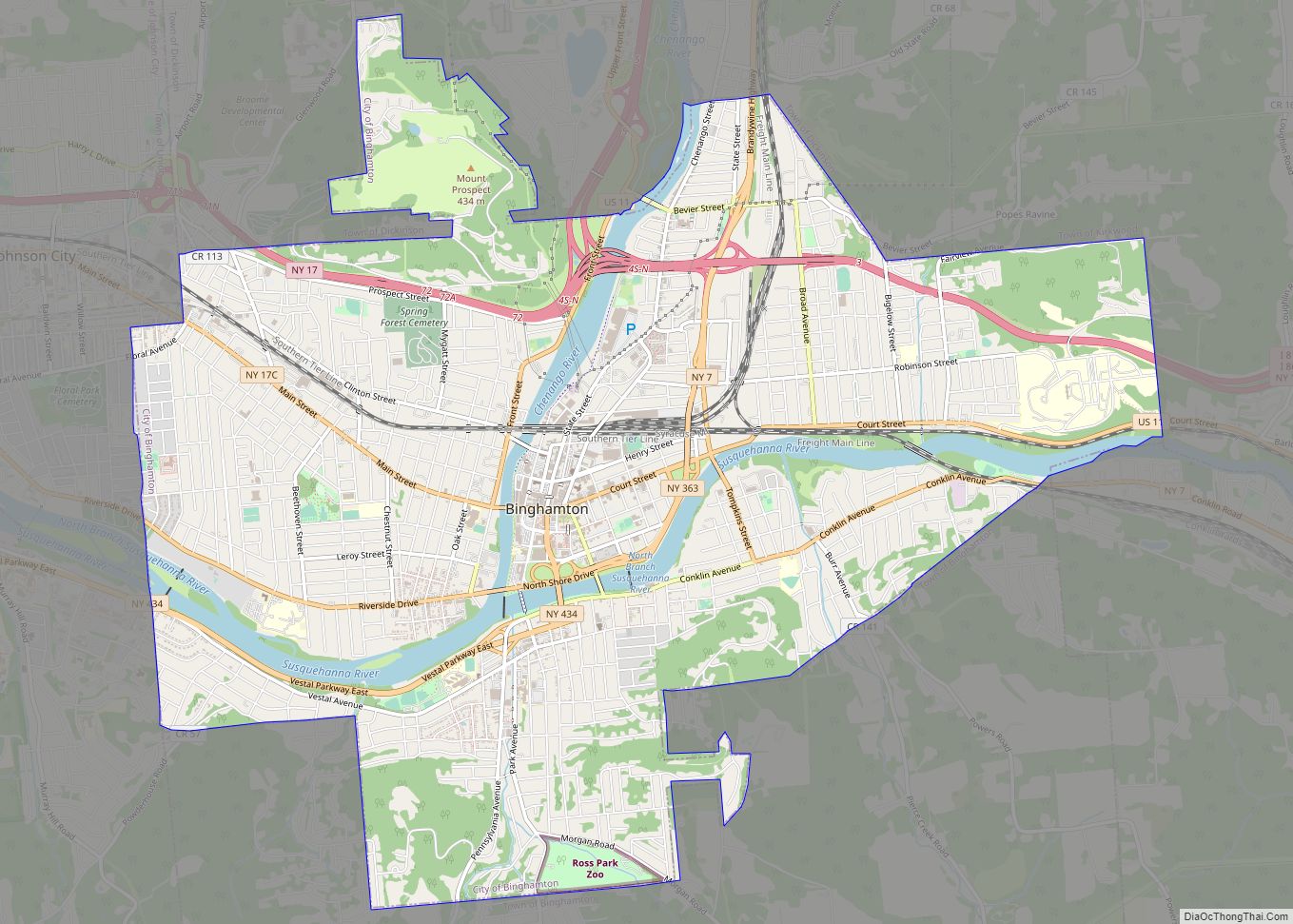
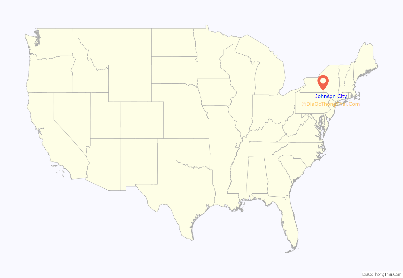
Johnson City location map. Where is Johnson City village?

History
Known as the “Home of the Square Deal”, from the Square Deal given to all employees of Endicott Johnson Corporation, Johnson City was originally incorporated in 1892 as the village of Lestershire. In 1916, the village was renamed Johnson City in honor of George F. Johnson, who led the company that was by then known as Endicott Johnson.
2009 dissolution vote
In January 2007, a group of residents organized a petition supporting dissolution of the village for tax reasons. A vote was held on November 3, 2009. On November 12, 2009, the results came back “no” for dissolution by just 42 votes.
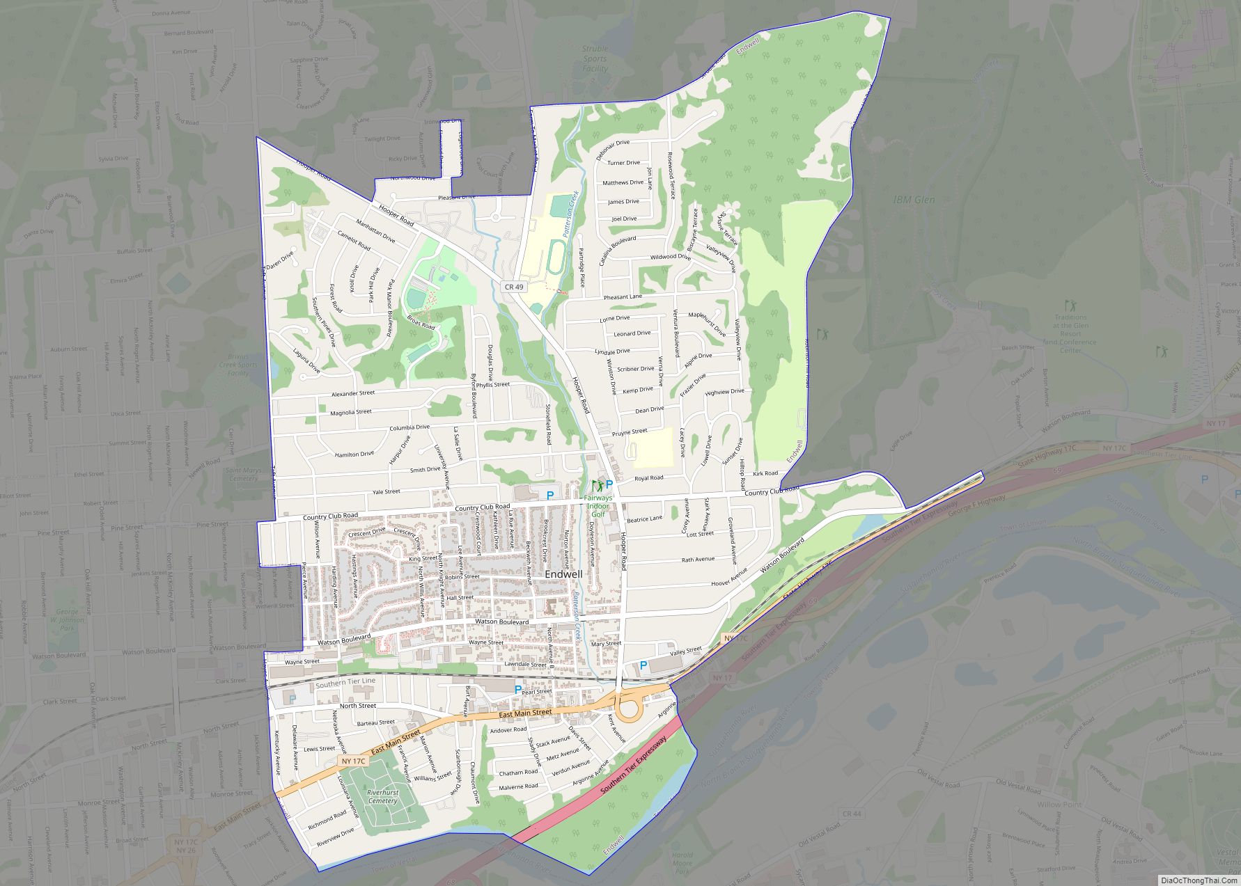
Johnson City Road Map

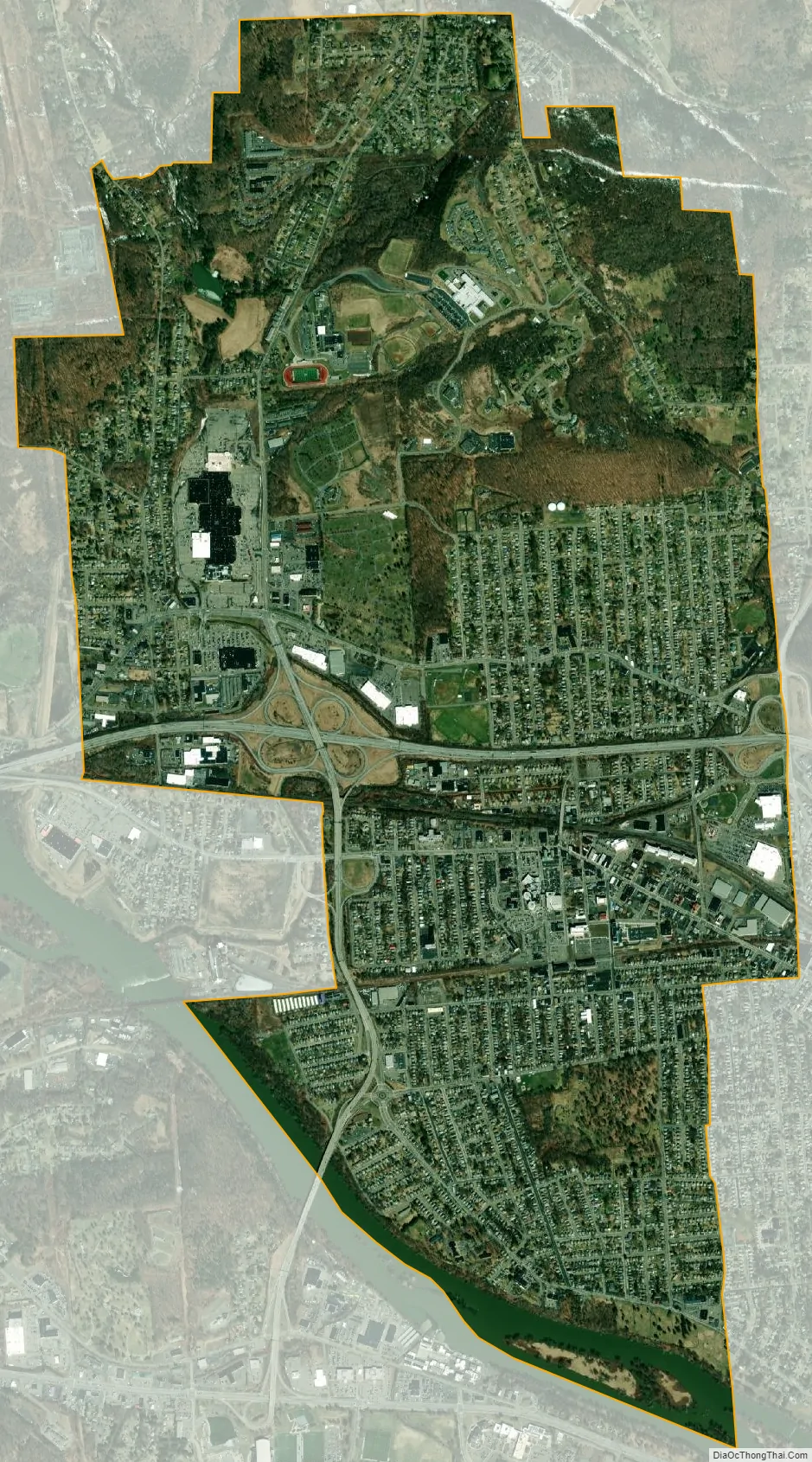
Johnson City city Satellite Map
Geography
According to the United States Census Bureau, the village has a total area of 4.6 square miles (12.0 km), of which 4.5 square miles (11.7 km) is land and 0.12 square miles (0.3 km), or 2.13%, is water.
Johnson City is on the north side of the Susquehanna River.
The junction of New York State Route 17 and New York State Route 201, which connects the community to the south side of the Susquehanna River, is in Johnson City. New York State Route 17C parallels NY-17.
See also
Map of New York State and its subdivision:- Albany
- Allegany
- Bronx
- Broome
- Cattaraugus
- Cayuga
- Chautauqua
- Chemung
- Chenango
- Clinton
- Columbia
- Cortland
- Delaware
- Dutchess
- Erie
- Essex
- Franklin
- Fulton
- Genesee
- Greene
- Hamilton
- Herkimer
- Jefferson
- Kings
- Lake Ontario
- Lewis
- Livingston
- Madison
- Monroe
- Montgomery
- Nassau
- New York
- Niagara
- Oneida
- Onondaga
- Ontario
- Orange
- Orleans
- Oswego
- Otsego
- Putnam
- Queens
- Rensselaer
- Richmond
- Rockland
- Saint Lawrence
- Saratoga
- Schenectady
- Schoharie
- Schuyler
- Seneca
- Steuben
- Suffolk
- Sullivan
- Tioga
- Tompkins
- Ulster
- Warren
- Washington
- Wayne
- Westchester
- Wyoming
- Yates
- Alabama
- Alaska
- Arizona
- Arkansas
- California
- Colorado
- Connecticut
- Delaware
- District of Columbia
- Florida
- Georgia
- Hawaii
- Idaho
- Illinois
- Indiana
- Iowa
- Kansas
- Kentucky
- Louisiana
- Maine
- Maryland
- Massachusetts
- Michigan
- Minnesota
- Mississippi
- Missouri
- Montana
- Nebraska
- Nevada
- New Hampshire
- New Jersey
- New Mexico
- New York
- North Carolina
- North Dakota
- Ohio
- Oklahoma
- Oregon
- Pennsylvania
- Rhode Island
- South Carolina
- South Dakota
- Tennessee
- Texas
- Utah
- Vermont
- Virginia
- Washington
- West Virginia
- Wisconsin
- Wyoming